


MapSherpa Catalog
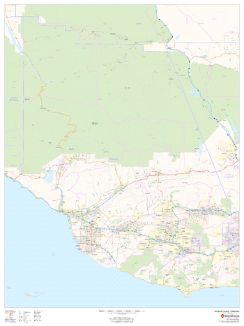
Ventura County, California (Mainland)
MapSherpa
This map of the mainland portion of Ventura County, California shows regional level information. Base map features include highways and major roads with labelling; railways; high level land use such as parks and recreation areas; and a selection of points of interest including transportation hubs like airports and train stations, tourist information and police stations. ZIP code boundaries are shown as a secondary map feature.
Page Size: 36 x 48 in (914 x 1219 mm)
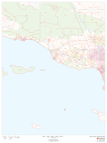
Ventura County, California ZIP Codes
MapSherpa
This map of Ventura County, California shows ZIP code areas overlaid on a road map. Ideal for planning of deliveries, home ervices, sales territories, real estate and much more. Base map features include all roads with major roads and highways labelled; neighborhood names; railways; and high level land use such as parks and recreation areas, industrial areas and hospital campuses.
Page Size: 36 x 48 in (914 x 1219 mm)
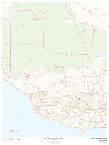
Ventura County, California ZIP Codes (Mainland)
MapSherpa
This map of the mainland portion of Ventura County, California shows ZIP code areas overlaid on a road map. Ideal for planning of deliveries, home ervices, sales territories, real estate and much more. Base map features include all roads with major roads and highways labelled; neighborhood names; railways; and high level land use such as parks and recreation areas, industrial areas and hospital campuses.
Page Size: 36 x 48 in (914 x 1219 mm)
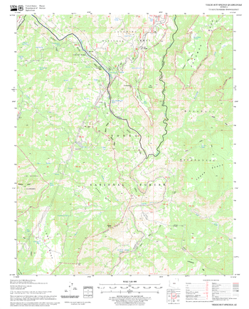
Verde Hot Springs Quadrangle, Arizona
United States Forest Service
United States Department of Agriculture Forestry Service topographical map of Verde Hot Springs, Coconino National Forest, Arizona.
Page Size: 21.75 x 27 in (552 x 686 mm)
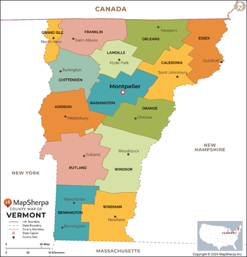
Vermont Counties Map - Extra Large
MapSherpa
This map has been created exclusively for MapSherpa, and designed for reference or business use. Clear and clean colors & fonts matched with cartographic research makes this map of the 14 Vermont counties easily readable and useful.
Page Size: 60 x 62.5 in (1524 x 1587 mm)
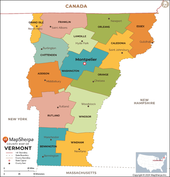
Vermont Counties Map - Large
MapSherpa
This map has been created exclusively for MapSherpa, and designed for reference or business use. Clear and clean colors & fonts matched with cartographic research makes this map of the 14 Vermont counties easily readable and useful.
Page Size: 48 x 50 in (1219 x 1269 mm)
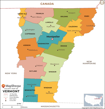
Vermont Counties Map - Standard
MapSherpa
This map has been created exclusively for MapSherpa, and designed for reference or business use. Clear and clean colors & fonts matched with cartographic research makes this map of the 14 Vermont counties easily readable and useful.
Page Size: 36 x 37.5 in (914 x 952 mm)
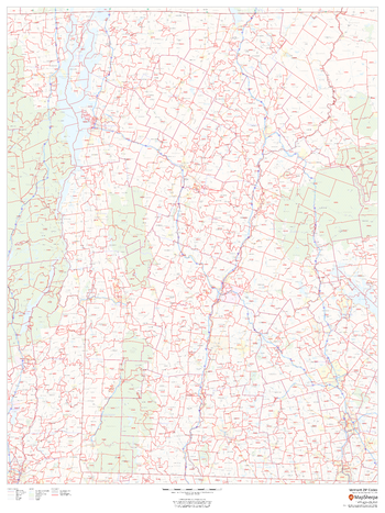
Vermont ZIP Code Map
MapSherpa
This map of Vermont shows ZIP code areas overlaid on a road map. Ideal for planning of deliveries, home services, sales territories, real estate and much more. Base map features include all roads with major roads and highways labelled, municipality and county boundaries, neighborhood names, railways, and high level land use such as parks and recreation areas
Page Size: 36 x 48 in (914 x 1219 mm)
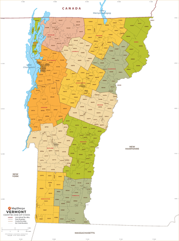
Vermont ZIP Code Map with Counties - Extra Large
MapSherpa
This map has been created exclusively for MapSherpa, and designed for business or reference use. Clear and clean colors & fonts matched with cartographic research makes this map of Vermont's counties and ZIP codes easily readable and useful.
Page Size: 60 x 81 in (1524 x 2053 mm)
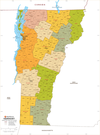
Vermont ZIP Code Map with Counties - Large
MapSherpa
This map has been created exclusively for MapSherpa, and designed for business or reference use. Clear and clean colors & fonts matched with cartographic research makes this map of Vermont's counties and ZIP codes easily readable and useful.
Page Size: 48 x 64.75 in (1219 x 1642 mm)
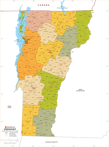
Vermont ZIP Code Map with Counties - Standard
MapSherpa
This map has been created exclusively for MapSherpa, and designed for business or reference use. Clear and clean colors & fonts matched with cartographic research makes this map of Vermont's counties and ZIP codes easily readable and useful.
Page Size: 36 x 48.5 in (914 x 1232 mm)
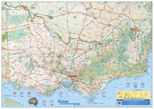
Victoria & Southern New South Wales Wall Map - 2nd Edition
Meridian Maps
This wall map of Victoria and southern New South Wales shows all the top tourist sites, parks and forests, camp grounds and points of interest. Clear and easy to read, this map is the ideal wall map of Victoria for business and planning. Includes Distance Chart and Weather Charts.
Page Size: 50 x 35.5 in (1270 x 900 mm)
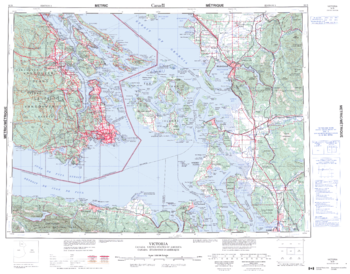
Victoria - 92 B - British Columbia
Natural Resources Canada
Canadian topographic map of Victoria, British Columbia. NTS sheet 092B Edition 3.
Page Size: 28.25 x 22 in (714 x 558 mm)
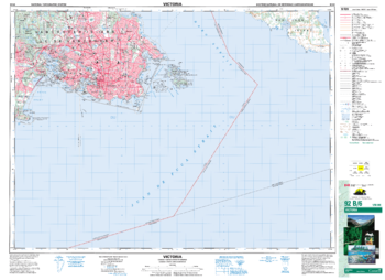
Victoria - 92 B/6 - British Columbia
Natural Resources Canada
Canadian topographic map of Victoria, British Columbia. NTS sheet 092B06 Edition 6.
Page Size: 35.75 x 26 in (906 x 658 mm)

Victoria State Wall Map
Hardie Grant
Victoria state map coverage. This map clearly shows dual carriageways, national highways, and other roads, distances between towns, route numbers, towns with an indication of the size of each town and also comprehensive listing of towns & localities. Also included are Visitor Information Centres, National, State & Marine Parks . This is an easy to read map that will help you find your way around Victoria with ease and is ideal for both travel & business. Maps are also available for other Australian states & territories for a comprehensive coverage of Australia.
Page Size: 39.5 x 27.25 in (1000 x 690 mm)
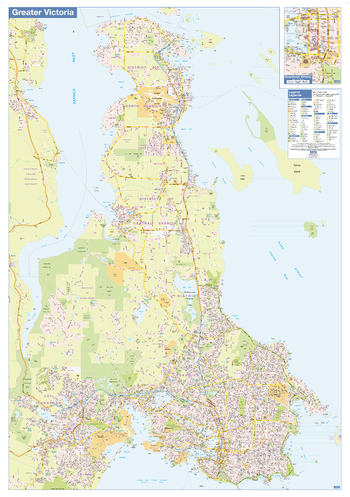
Victoria Wall Map - Street Detail - Large
Lucidmap
This large wall map shows highly detailed local information of the city of Victoria. Full street labeling along with transit information, parks, schools, churches and landmarks throughout the city are displayed.
The map has been designed in a very clear and legible manner with a traditional Canadian street map style embraced by map buyers over many years.
Page Size: 37.25 x 53.5 in (942 x 1357 mm)

Victoria, Australia State Supermap
Hema Maps
A large state map of Victoria that is an ideal travel reference and wall map.
Page Size: 55.75 x 39.25 in (1416 x 996 mm)

Victoria, Australia State Wall Map
Hema Maps
A state map of Victoria that is an ideal travel reference and wall map.
Page Size: 40 x 28.25 in (1016 x 716 mm)
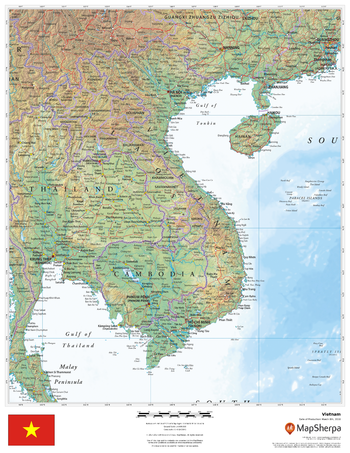
Vietnam
MapSherpa
This beautiful map shows physical and political features for Vietnam and surrounding areas. Relief shading and the use of different colours by height above sea level are both informative and attractive.
Page Size: 17 x 22 in (432 x 559 mm)
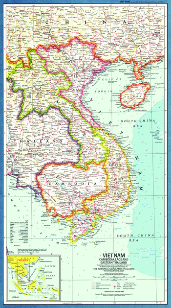
Vietnam, Cambodia, Laos and Eastern Thailand - Published 1965
National Geographic
This map of Viet Nam and its western neighbors is presented in classic National Geographic style. Published in January 1965, which marked the beginning of heavy US troop deployment to Viet Nam. The map index was published separately with the article "American Special Forces in Action in Viet Nam." A fine companion for the 1967 map of the same region.
Page Size: 11.5 x 20.5 in (288 x 518 mm)
No search results