


MapSherpa Catalog
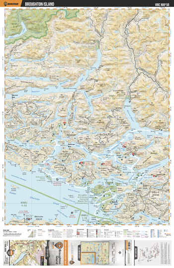
VIBC58 Broughton Island - Vancouver Island BC Topo
Backroad Mapbooks
This recreation topographic map for Broughton Island highlights all the logging roads, trails and recreational Points of Interest including hunting, camping, hiking, mountain biking, canoeing, kayaking, backcountry skiing, wildlife viewing, ATVing, snowmobiling and more. No other map provides you with this level of recreational and topographic detail for the Broughton Island area. Covering 4,315 km2 (1,665 mi2) in total, 1:100,000 scale map measures 57 x 75 km (35 x 46.5 mi) and covers Broughton Archipelago Provincial Marine Park, Drury Inlet, Echo Bay, Health Bay, Hopetown, Kingcome Inlet, Polkinghorne Island Conservancy, Queen Charlotte Strait, Seymour Inlet, Warner Bay, Wakeman Sound and more!
Page Size: 24 x 37 in (610 x 940 mm)
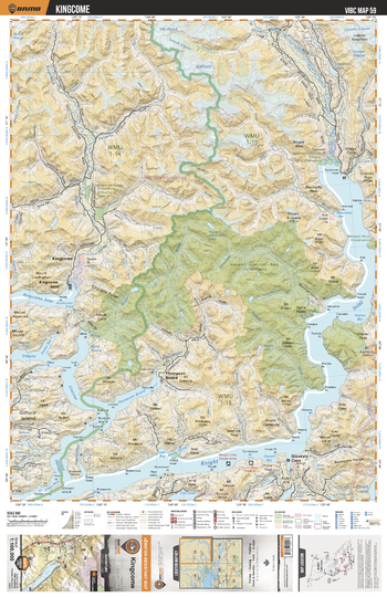
VIBC59 Kingcome - Vancouver Island BC Topo
Backroad Mapbooks
This recreation topographic map for Kingcome highlights all the logging roads, trails and recreational Points of Interest including hunting, camping, hiking, mountain biking, canoeing, kayaking, backcountry skiing, wildlife viewing, ATVing, snowmobiling and more. No other map for the area provides you with this level of recreational or topographic detail. Covering 4,315 km2 (1,665 mi2) in total, 1:100,000 scale map measures 57 x 75 km (35 x 46.5 mi) and covers Kingcome, Hunwadi Ahnuhati - Bald Conservancy, Knight Inlet, Satsalla River, Kingcome River, Kinaklini River, Franklin River, Kingcome Inlet and more!
Page Size: 24 x 37 in (610 x 940 mm)
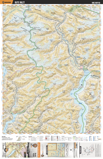
VIBC60 Bute Inlet - Vancouver Island BC Topo
Backroad Mapbooks
This recreation topographic map for Bute Inlet highlights all the logging roads, trails and recreational Points of Interest including hunting, camping, hiking, mountain biking, canoeing, kayaking, backcountry skiing, wildlife viewing, ATVing, snowmobiling and more. No other map for the area provides you with this level of recreational or topographic detail. Covering 4,315 km2 (1,665 mi2) in total, 1:100,000 scale map measures 57 x 75 km (35 x 46.5 mi) and covers Bute Inlet, Homathko River, Orford River, Apple River, Stafford River, Phillips River, Jewakwa River, Heakamie River and more!
Page Size: 24 x 37 in (610 x 940 mm)
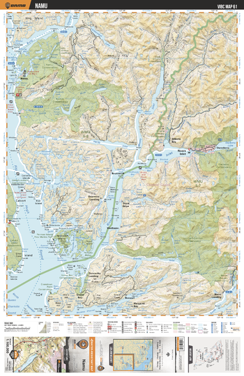
VIBC61 Namu - Vancouver Island BC Topo
Backroad Mapbooks
This recreation topographic map for Namu highlights all the logging roads, trails and recreational Points of Interest including hunting, camping, hiking, mountain biking, canoeing, kayaking, backcountry skiing, wildlife viewing, ATVing, snowmobiling and more. No other map for the area provides you with this level of recreational or topographic detail. Covering 4,315 km2 (1,665 mi2) in total, 1:100,000 scale map measures 57 x 75 km (35 x 46.5 mi) and covers Namu, Namu Conservancy, Koeye Conservancy, Owikeno Lake, Gildersleve Lake, Young River, Clyak River, Kibella River more!
Page Size: 24 x 37 in (610 x 940 mm)
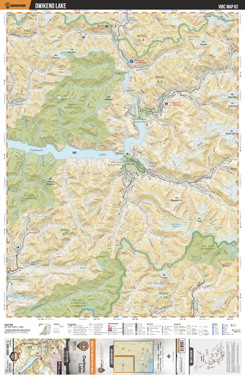
VIBC62 Owikeno Lake - Vancouver Island BC Topo
Backroad Mapbooks
This recreation topographic map for Owikeno Lake highlights all the logging roads, trails and recreational Points of Interest including hunting, camping, hiking, mountain biking, canoeing, kayaking, backcountry skiing, wildlife viewing, ATVing, snowmobiling and more. No other map for the area provides you with this level of recreational or topographic detail. Covering 4,315 km2 (1,665 mi2) in total, 1:100,000 scale map measures 57 x 75 km (35 x 46.5 mi) and covers Owikeno Lake, Machmell River, Piper Lake, Piper River, Smokehouse Creek, Seymour River, Wakeman River, Catto Creek Conservancy and more!
Page Size: 24 x 37 in (610 x 940 mm)
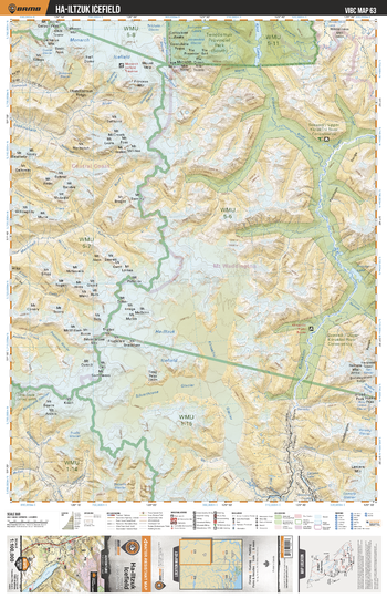
VIBC63 Ha-Iltzuk Icefield - Vancouver Island BC Topo
Backroad Mapbooks
This recreation topographic map for Ha-Iltzuk Icefield highlights all the logging roads, trails and recreational Points of Interest including hunting, camping, hiking, mountain biking, canoeing, kayaking, backcountry skiing, wildlife viewing, ATVing, snowmobiling and more. No other map for the area provides you with this level of recreational or topographic detail. Covering 4,315 km2 (1,665 mi2) in total, 1:100,000 scale map measures 57 x 75 km (35 x 46.5 mi) and covers Monarch Icefield, Silverthrone Glacier, Klinaklini Glacier, Kingcome Glacier, Fang Peak, Pashleth Glacier, Lomolo Glacier and more!
Page Size: 24 x 37 in (610 x 940 mm)
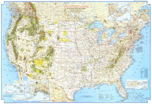
Vacationlands of the United States and Canada - Published 1966
National Geographic
Discover the abundance of diverse recreational sites that the United States and Canada have to offer with this detailed map. Published in 1966, this map and its companion "Enjoying Our Scenic Treasures and Historical Sites" make up the two-piece set that accompanied four articles on the United States National Parks.
Page Size: 38 x 26 in (962 x 659 mm)
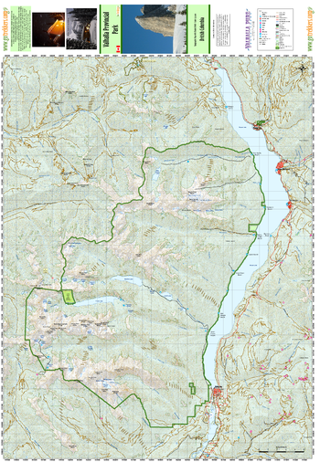
Valhalla Provincial Park
GoTrekkers
Valhalla Provincial Park
Page Size: 28 x 40.5 in (711 x 1029 mm)
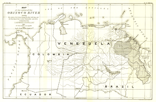
Valley of the Orinoco River - Published 1896
National Geographic
This black and white antique map of the Valley of the Orinoco River was published in February 1896. Its full title is "Map of the Valley of the Orinoco River, Showing the Extent of Territory Drained by that Waterway and the Bearing it has on the Venezuelan Question." Of particular note on this map is the proposed Panama Canal.
Page Size: 17 x 11.25 in (430 x 281 mm)
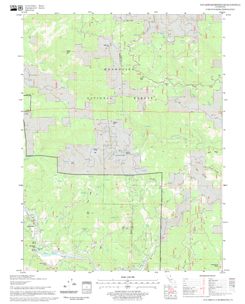
Van Arsdale Reservoir Quadrangle, California
United States Forest Service
United States Department of Agriculture Forestry Service topographical map of Van Arsdale Reservoir, Mendocino National Forest, California.
Page Size: 21.75 x 27 in (552 x 686 mm)
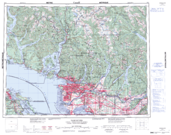
Vancouver - 92 G - British Columbia
Natural Resources Canada
Canadian topographic map of Vancouver, British Columbia. NTS sheet 092G Edition 3.
Page Size: 28 x 22 in (707 x 556 mm)
Vancouver - Agassiz
Lucidmap
Create custom street maps in Vancouver centred on your business, home or other key point of interest. Maps are developed from Lucidmap’s iconic Canadian street mapping cartography. Map coverage ranges west along the Fraser River from Agassiz to the Straight of Georgia. Native scale is 1:25,000.
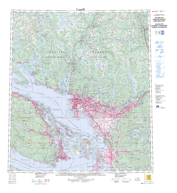
Vancouver 2010 Winter Games Region
Natural Resources Canada
Contained within the Atlas of Canada Poster Map Series, is a special edition 1:250 000 scale topographic map was produced to support the Vancouver 2010 Olympic and Paralympics Winter Games. This large-format wall map provides broad, up-to-date coverage of the Winter Games region in British Columbia.
Page Size: 42.5 x 46.75 in (1080 x 1187 mm)
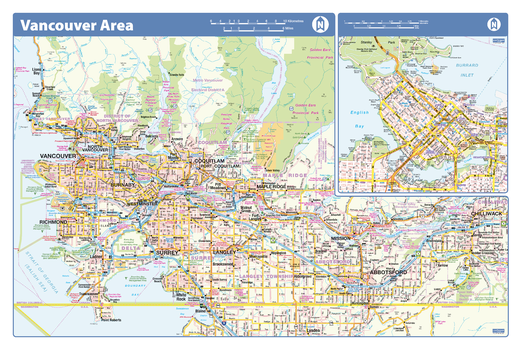
Vancouver Area - Compact
Lucidmap
Map of the Vancouver area showing major roads, major road names, political boundaries, major points of interest, parks, public buildings and landmarks.
Page Size: 21.5 x 14.25 in (546 x 362 mm)
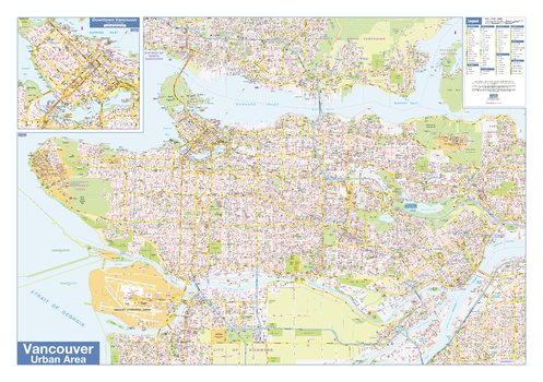
Vancouver Downtown
Lucidmap
Map of downtown Vancouver showing all roads, road names, political boundaries, transit, points of interest, parks, schools, churches, public buildings and landmarks.
Page Size: 40 x 28 in (1016 x 711 mm)
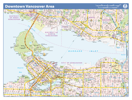
Vancouver Downtown - Compact
Lucidmap
Map of downtown Vancouver showing all roads, road names, political boundaries, transit, points of interest, parks, schools, churches, public buildings and landmarks.
Page Size: 21.5 x 16.25 in (546 x 413 mm)

Vancouver, Ottawa, Hamilton, London, Halifax (1906)
Natural Resources Canada
Contained within the 1st Edition (1906) of the Atlas of Canada is a plate that show five maps displaying the cities of Vancouver, Ottawa, Hamilton, London, and Halifax. At this time these cities had a population over 25,000. The map indicates the location of city wards, electric railways, and churches symbolized as crosses.
Page Size: 24.25 x 17.25 in (611 x 433 mm)
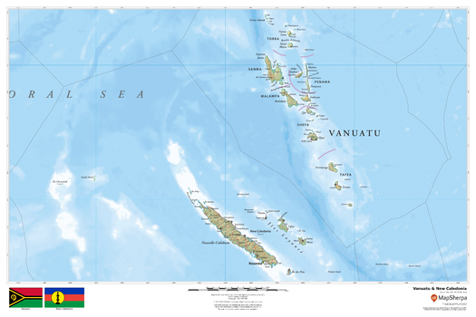
Vanuatu & New Caledonia
MapSherpa
This beautiful map shows physical and political features for country of Vanuatu and the French overseas territory of New Caledonia. Relief shading and the use of different colours by height above sea level are both informative and attractive.
Page Size: 36 x 24 in (914 x 610 mm)
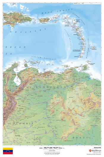
Venezuela
MapSherpa
This beautiful map shows physical and political features for Venezuela and surrounding areas. Relief shading and the use of different colours by height above sea level are both informative and attractive.
Page Size: 24 x 36 in (610 x 914 mm)
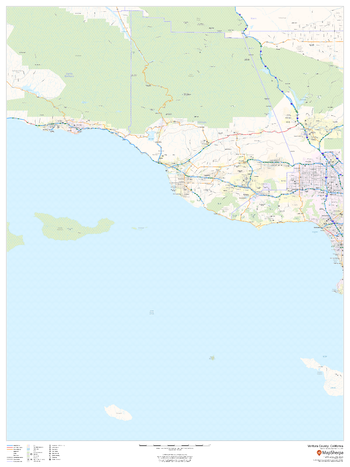
Ventura County, California
MapSherpa
This map of Ventura County, California shows regional level information. Base map features include highways and major roads with labelling; high level land use such as parks and recreation areas; and a selection of points of interest including transportation hubs like airports and train stations, tourist information and police stations.
Page Size: 36 x 48 in (914 x 1219 mm)
No search results