


MapSherpa Catalog
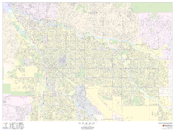
Tucson, Arizona Inner Metro - Landscape
MapSherpa
This landscape-oriented map of central Tucson, Arizona shows detailed street level information including extensive street labeling. Ideal for planning of deliveries, home services, sales territories, real estate and much more. Base map features include all roads with major roads and highways labelled; neighborhood names; railways; high level land use such as parks and recreation areas, industrial areas and hospital campuses; and a variety of points of interest including schools, libraries, stadiums, museums, border crossings and more.
Page Size: 48 x 36 in (1219 x 914 mm)
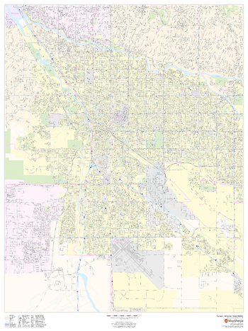
Tucson, Arizona Inner Metro - Portrait
MapSherpa
This portrait-oriented map of central Tucson, Arizona shows detailed street level information including extensive street labeling. Ideal for planning of deliveries, home services, sales territories, real estate and much more. Base map features include all roads with major roads and highways labelled; neighborhood names; railways; high level land use such as parks and recreation areas, industrial areas and hospital campuses; and a variety of points of interest including schools, libraries, stadiums, museums, border crossings and more.
Page Size: 36 x 48 in (914 x 1219 mm)
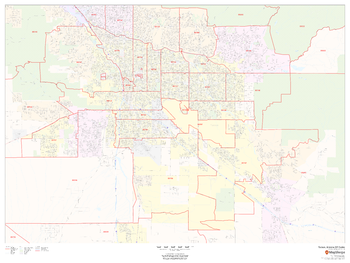
Tucson, Arizona ZIP Codes
MapSherpa
This map of Tucson, Arizona shows ZIP code areas overlaid on a road map. Ideal for planning of deliveries, home services, sales territories, real estate and much more. Base map features include all roads with major roads and highways labelled; neighborhood names; railways; and high level land use such as parks and recreation areas, industrial areas and hospital campuses.
Page Size: 48 x 36 in (1219 x 914 mm)
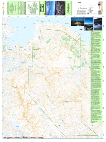
Tuktut Nogait National Park
GoTrekkers
Tuktut Nogait National Park
Page Size: 31 x 41.5 in (787 x 1054 mm)
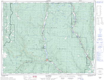
Tulameen - 92 H/10 - British Columbia
Natural Resources Canada
Canadian topographic map of Tulameen, British Columbia. NTS sheet 092H10 Edition 2.
Page Size: 32.5 x 25 in (825 x 634 mm)
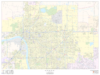
Tulsa, Oklahoma Inner Metro - Landscape
MapSherpa
This landscape-oriented map of central Tulsa, Oklahoma shows detailed street level information including extensive street labeling. Ideal for planning of deliveries, home services, sales territories, real estate and much more. Base map features include all roads with major roads and highways labelled; neighborhood names; railways; high level land use such as parks and recreation areas, industrial areas and hospital campuses; and a variety of points of interest including schools, libraries, stadiums, museums, border crossings and more.
Page Size: 48 x 36 in (1219 x 914 mm)
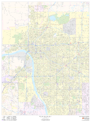
Tulsa, Oklahoma Inner Metro - Portrait
MapSherpa
This portrait-oriented map of central Tulsa, Oklahoma shows detailed street level information including extensive street labeling. Ideal for planning of deliveries, home services, sales territories, real estate and much more. Base map features include all roads with major roads and highways labelled; neighborhood names; railways; high level land use such as parks and recreation areas, industrial areas and hospital campuses; and a variety of points of interest including schools, libraries, stadiums, museums, border crossings and more.
Page Size: 36 x 48 in (914 x 1219 mm)
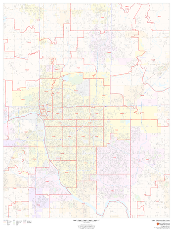
Tulsa, Oklahoma ZIP Codes
MapSherpa
This map of Tulsa, Oklahoma shows ZIP code areas overlaid on a road map. Ideal for planning of deliveries, home services, sales territories, real estate and much more. Base map features include all roads with major roads and highways labelled; neighborhood names; railways; and high level land use such as parks and recreation areas, industrial areas and hospital campuses.
Page Size: 36 x 48 in (914 x 1219 mm)
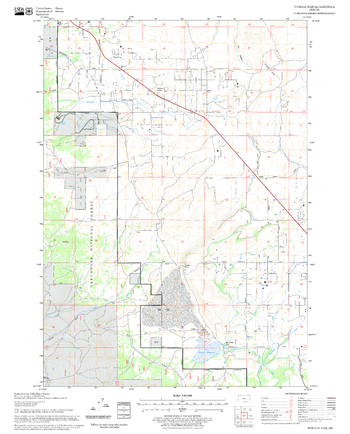
Tumalo Dam Quadrangle, Oregon
United States Forest Service
United States Department of Agriculture Forestry Service topographical map of Tumalo Dam, Deschutes National Forest, Oregon.
Page Size: 21.75 x 27 in (552 x 686 mm)
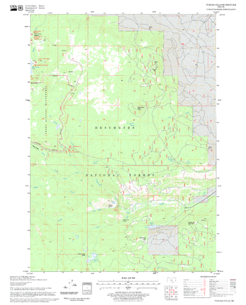
Tumalo Falls Quadrangle, Oregon
United States Forest Service
United States Department of Agriculture Forestry Service topographical map of Tumalo Falls, Deschutes National Forest, Oregon.
Page Size: 21.75 x 27 in (552 x 686 mm)
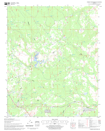
Turkey Mountain Quadrangle, Arizona
United States Forest Service
United States Department of Agriculture Forestry Service topographical map of Turkey Mountain, Coconino National Forest, Arizona.
Page Size: 21.75 x 27 in (552 x 686 mm)
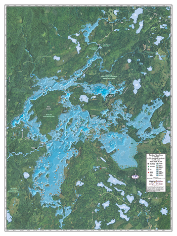
Turtle-Flambeau Flowage
Mapping Specialists
An Attractive map of the lake showing a visual 3D representation of the lake bottom. Includes boat launches, rock area and vegetation. Land area is high resolution aerial imagery.
Page Size: 27.75 x 37.25 in (705 x 943 mm)
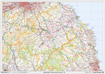
Tweed - TD - Postcode Wall Map
XYZ Maps
The Tweed Postcode Sector Wall Map shows detailed postcode sector boundaries (TD1 1, TD1 2) on a comprehensive background and is perfect for determining postcode boundaries for sales areas, planning mailshots and also an excellent reference for logistics. This wall map covers the whole of the TD Postcode Area.
Page Size: 47 x 33.25 in (1189 x 841 mm)
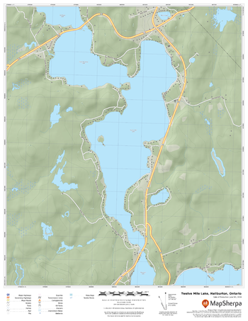
Twelve Mile Lake, Haliburton, Ontario
MapSherpa
A cartographically beautiful map of Twelve Mile Lake, Haliburton, Ontario ideal for showing off cottages, resorts, lakes and other favourite places.
Page Size: 17 x 22 in (432 x 559 mm)
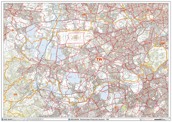
Twickenham - TW - Postcode Wall Map
XYZ Maps
The Twickenham Postcode Sector Wall Map shows detailed postcode sector boundaries (TW1 1, TW1 2) on a comprehensive background and is perfect for determining postcode boundaries for sales areas, planning mailshots and also an excellent reference for logistics. This wall map covers the whole of the TW Postcode Area.
Page Size: 47 x 33.25 in (1189 x 841 mm)
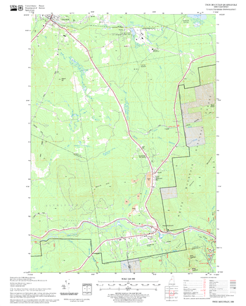
Twin Mountain Quadrangle, New Hampshire-Vermont
United States Forest Service
United States Forestry Service topographical map of Twin Mountain, New Hampshire-Vermont
Page Size: 21.75 x 27 in (552 x 686 mm)
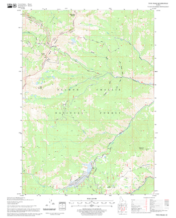
Twin Peaks Quadrangle, Idaho
United States Forest Service
United States Department of Agriculture Forestry Service topographical map of Twin Peaks, Salmon-Chalis National Forest, Idaho.
Page Size: 21.75 x 27 in (552 x 686 mm)
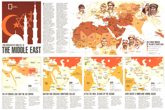
Two Centuries of Conflict in the Middle East - Published 1980
National Geographic
This informative map supplements the "Mideast in Turmoil" map and the article "Saudi Arabia: The Kingdom and Its Power" which were all published in the September 1980 issue of National Geographic. Four maps highlight the historical conflicts of the region while the largest section of this piece is devoted to showing the percentage of muslims amongst the various ethnicities of the region.
Page Size: 20.75 x 14 in (525 x 350 mm)
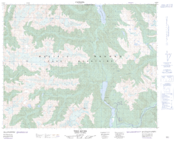
Tzeo River - 92 M/15 - British Columbia
Natural Resources Canada
Canadian topographic map of Tzeo River, British Columbia. NTS sheet 092M15 Edition 2.
Page Size: 31 x 25.25 in (786 x 636 mm)
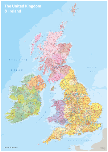
UK & Ireland Political
Oxford Cartographers
UK & Ireland map with coloured counties
Page Size: 23.5 x 33.25 in (594 x 841 mm)
No search results