


MapSherpa Catalog
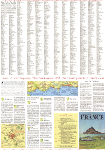
Travelers Map of France Theme - Published 1971
National Geographic
Published in June 1971, A Traveler's Map of France contains a wealth of information about each region as well as helpful hints about clothing, dining, currency, sightseeing, transportation, camping, and more. Half of a two-map set, this map also includes a list of the various festivals and events held in France each year.
Page Size: 23 x 32.75 in (580 x 828 mm)
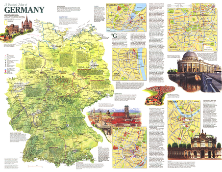
Travelers Map of Germany - Published 1991
National Geographic
This map of Germany contains a wealth of historical facts, insets of major cities, and special information on traveling the country's scenic roadways. Published in September 1991 as half of a two-map set with the map "Germany", and as a companion to the article "The Morning After: Germany Reunited".
Page Size: 26.25 x 20.25 in (661 x 511 mm)
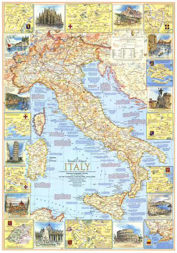
Travelers Map of Italy - Published 1970
National Geographic
This travel map of Italy features an abundance of historical information, tourist sites, and inset maps of eleven cities. Attractive illustrations of various places of interest border the main map. Published in June 1970.
Page Size: 23 x 32.75 in (579 x 829 mm)
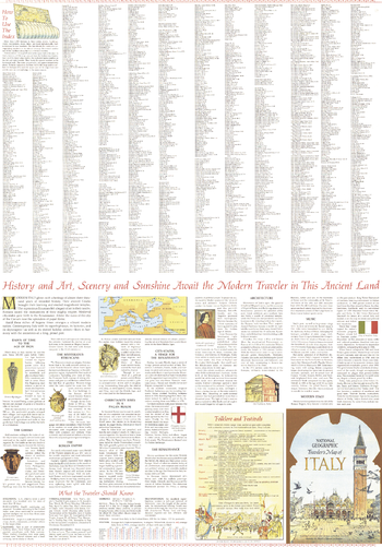
Travelers Map of Italy Theme - Published 1970
National Geographic
Published in June 1970, A Traveler's Map of Italy contains a wealth of information about the history of the country as well as helpful hints about clothing, currency, shopping, transportation, and more. Half of a two-map set, this map also includes a list of the seasonal festivals and events held in Italy each year.
Page Size: 23 x 32.75 in (579 x 829 mm)
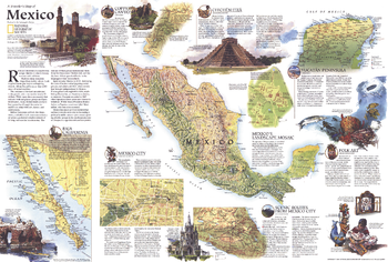
Travelers Map of Mexico - Published 1994
National Geographic
The centerpiece of this informative traveler's map is a striking physical map of Mexico. Published in September 1994, this map accompanied a full-page physical and political map of Mexico and the article "The Sonoran Desert: Anything But Empty."
Page Size: 30 x 20.25 in (762 x 513 mm)
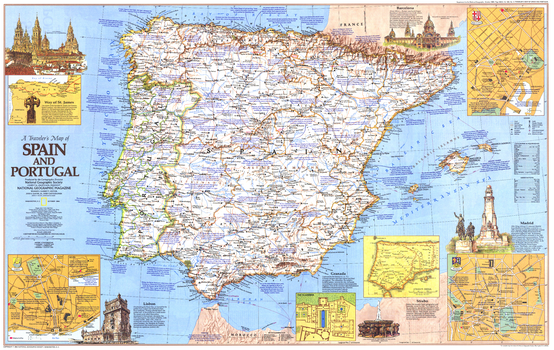
Travelers Map of Spain and Portugal - Published 1984
National Geographic
This map of Spain and Portugal features an abundance of historical notes and sites of interest including the tomb and pilgrimage route of St. James. Includes inset maps of Barcelona, Lisbon, and Madrid. Published in October 1984.
Page Size: 36 x 22.75 in (912 x 576 mm)
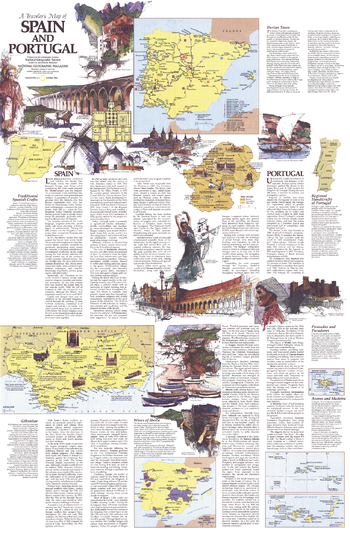
Travelers Map of Spain and Portugal Theme - Published 1984
National Geographic
Published in October 1984, this half of the two-map set entitled A Traveler's Map of Spain and Portugal contains a wealth of information on the history and culture of the region. This map contains tour routes, a map of the Iberian wine country, information about the handicrafts of Spain and Portugal, and more.
Page Size: 22.75 x 35 in (575 x 887 mm)
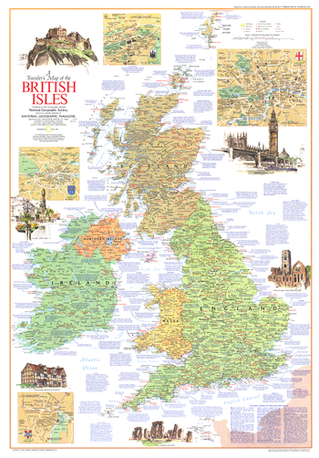
Travelers Map of the British Isles - Published 1974
National Geographic
This map of the British Isles contains an abundance of information on a variety of tourist sites and activities. Published in April 1974 to accompany the article "The England of Charles Dickens."
Page Size: 23 x 32.75 in (578 x 829 mm)
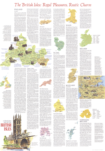
Travelers Map of the British Isles Theme - Published 1974
National Geographic
Half of a two-map set, this map of the British Isles provides a large quantity of information about the various regions in England, Wales, Scotland, Ireland, and Northern Ireland, and the wonderful tourist activities and historical sites in each. Published in April 1974 with the article "The England of Charles Dickens," this map is a must-have for those traveling to the United Kingdom or Ireland.
Page Size: 23 x 32.75 in (578 x 829 mm)
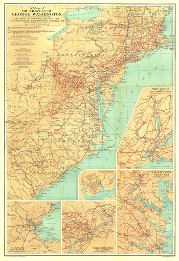
Travels of George Washington - Published 1932
National Geographic
The map of the Travels of George Washington was published in January 1932 in cooperation with the United States Commission for the Celebration of the Two Hundredth Anniversary of the Birth of George Washington. Inset maps of major colonial cities including Boston, New York, and Philadelphia as well as Washington's Mount Vernon home and the Tidewater Virginia area add great detail to this unique historic map.
Page Size: 20 x 29 in (505 x 735 mm)
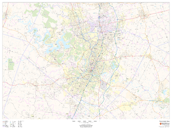
Travis County, Texas
MapSherpa
This map of Travis County, Texas shows regional level information. Base map features include highways and major roads with labelling; neighborhood names; railways; high level land use such as parks and recreation areas, industrial areas and hospital campuses; and a selection of points of interest including transportation hubs like airports and train stations, tourist information, police stations and shopping centres. ZIP code boundaries are shown as a secondary map feature.
Page Size: 48 x 36 in (1219 x 914 mm)
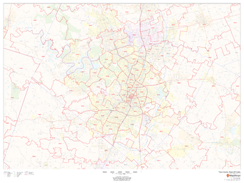
Travis County, Texas ZIP Codes
MapSherpa
This map of Travis County, Texas shows ZIP code areas overlaid on a road map. Ideal for planning of deliveries, home services, sales territories, real estate and much more. Base map features include all roads with major roads and highways labelled; neighborhood names; railways; and high level land use such as parks and recreation areas, industrial areas and hospital campuses.
Page Size: 48 x 36 in (1219 x 914 mm)
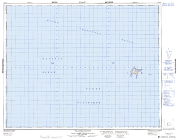
Triangle Island - 102 I/14 - British Columbia
Natural Resources Canada
Canadian topographic map of Triangle Island, British Columbia. NTS sheet 102I14 Edition 1.
Page Size: 32.5 x 25.5 in (822 x 643 mm)
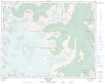
Trophy Lake - 92 N/12 - British Columbia
Natural Resources Canada
Canadian topographic map of Trophy Lake, British Columbia. NTS sheet 092N12 Edition 1.
Page Size: 31.5 x 25.25 in (797 x 641 mm)
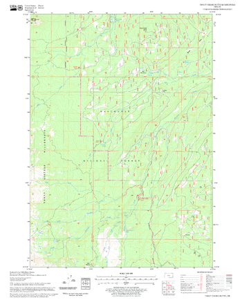
Trout Creek Butte Quadrangle, Oregon
United States Forest Service
United States Department of Agriculture Forestry Service topographical map of Trout Creek Butte, Deschutes National Forest, Oregon.
Page Size: 21.75 x 27 in (552 x 686 mm)
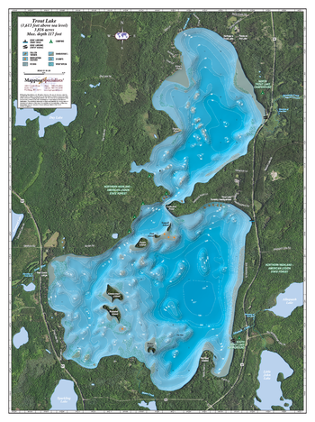
Trout Lake
Mapping Specialists
An Attractive map of the lake showing a visual 3D representation of the lake bottom. Includes boat launches, rock area and vegetation. Land area is high resolution aerial imagery.
Page Size: 27.75 x 37.25 in (705 x 943 mm)
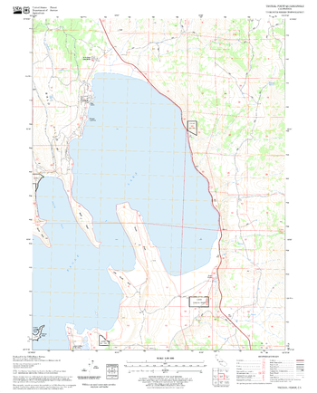
Troxel Point Quadrangle, California
United States Forest Service
United States Department of Agriculture Forestry Service topographical map of Troxel Point, Lassen National Forest, California.
Page Size: 21.75 x 27 in (552 x 686 mm)
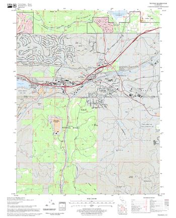
Truckee Quadrangle, California
United States Forest Service
United States Department of Agriculture Forestry Service topographical map of Truckee, Tahoe National Forest, California.
Page Size: 21.75 x 27 in (552 x 686 mm)
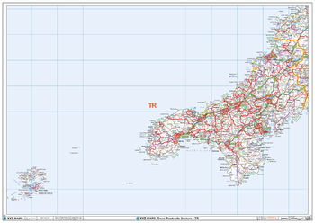
Truro - TR - Postcode Wall Map
XYZ Maps
The Truro Postcode Sector Wall Map shows detailed postcode sector boundaries (TR1 1, TR1 2) on a comprehensive background and is perfect for determining postcode boundaries for sales areas, planning mailshots and also an excellent reference for logistics. This wall map covers the whole of the TR Postcode Area.
Page Size: 47 x 33.25 in (1189 x 841 mm)
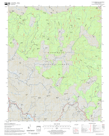
Tuckasegee Quadrangle, North Carolina
United States Forest Service
United States Department of Agriculture Forestry Service topographical map of Tuckasegee, Pisgah National Forest, North Carolina.
Page Size: 21.75 x 27 in (552 x 686 mm)
No search results