


MapSherpa Catalog
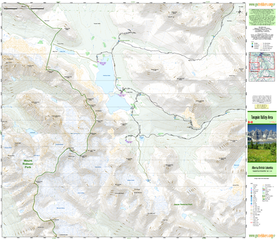
Tonquin Valley Area
GoTrekkers
Tonquin Valley Area
Page Size: 41.5 x 35.5 in (1054 x 902 mm)
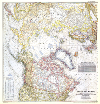
Top of the World - Published 1949
National Geographic
In the October 1949 issue of National Geographic, there were five articles related to polar exploration. The Top of the World map, first published in October of 1949, offers a truly unique view that features the Arctic Polar Region at its center. This beautiful map is both a cartographic masterpiece and a fresh look at the world.
Page Size: 28.5 x 29.5 in (721 x 746 mm)
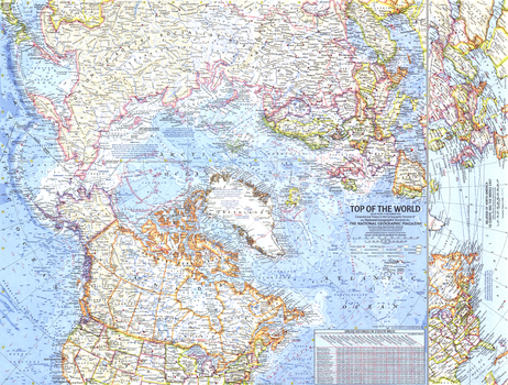
Top of the World - Published 1965
National Geographic
In the mid 1960s, the USSR and US were in the midst of a cold war, in which each nation was acutely aware of its proximity to the other. This map offers a truly unique view that features the Arctic Polar Region at its center, as well as the "Early Warning Lines" for the United States in case of imminent nuclear attack from the USSR. Published in November of 1965.
Page Size: 25 x 19 in (631 x 478 mm)
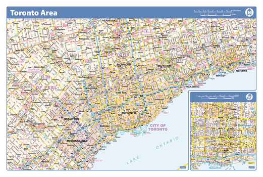
Toronto Area - Compact
Lucidmap
Map of the Toronto area showing major roads, major road names, political boundaries, major points of interest, parks, public buildings and landmarks.
Page Size: 21.5 x 14.25 in (546 x 362 mm)

Toronto City
Lucidmap
Map of Toronto showing all roads, road names, political boundaries, transit, points of interest, parks, schools, churches, public buildings and landmarks.
Page Size: 40 x 28 in (1016 x 711 mm)
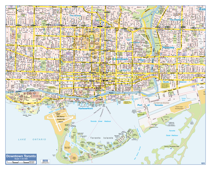
Toronto Downtown
Lucidmap
Map of downtown Toronto showing all roads, road names, political boundaries, transit, points of interest, parks, schools, churches, public buildings and landmarks.
Page Size: 30 x 24 in (762 x 610 mm)
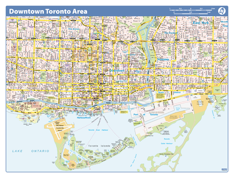
Toronto Downtown - Compact
Lucidmap
Map of downtown Toronto showing all roads, road names, political boundaries, transit, points of interest, parks, schools, churches, public buildings and landmarks.
Page Size: 21.5 x 16.25 in (546 x 413 mm)
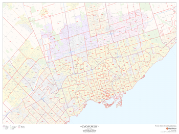
Toronto, Ontario Postal Code Forward Sortation Areas
MapSherpa
This map of Toronto shows postal code forward sortation areas overlaid on a road map. Ideal for planning of deliveries, home services, sales territories, real estate and much more. Base map features include all roads with major roads and highways labelled; neighbourhood names; railways; and high level land use such as parks and recreation areas, industrial areas and hospital campuses.
Page Size: 48 x 36 in (1219 x 914 mm)
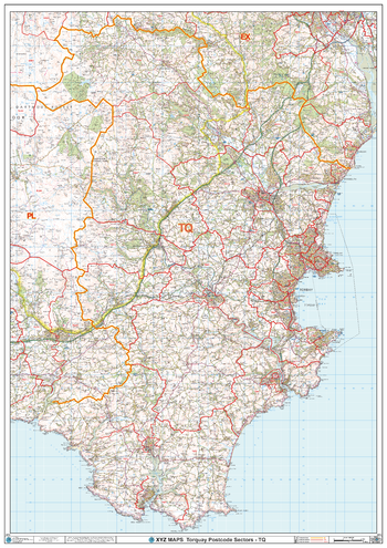
Torquay - TQ - Postcode Wall Map
XYZ Maps
The Torquay Postcode Sector Wall Map shows detailed postcode sector boundaries (TQ1 1, TQ1 2) on a comprehensive background and is perfect for determining postcode boundaries for sales areas, planning mailshots and also an excellent reference for logistics. This wall map covers the whole of the TQ Postcode Area.
Page Size: 33.25 x 47 in (841 x 1189 mm)
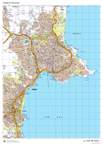
Torquay A-Z Street Map
A-Z Maps
This up-to-date A-Z street map covers Torquay and the immediate suburbs, showing the town centre with Torquay Harbour. Other areas included: Paignton, Preston, Chelston, Babbacombe, St Marychurch, Cockington.
Page Size: 23.5 x 33.25 in (594 x 841 mm)
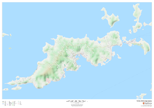
Tortola, British Virgin Islands
MapSherpa
This map of the Tortola features a full road network for the island including the capital The Valley, walking paths, land use, points of interest, and many of the buildings. Useful for the traveller, and as a wall map for display in your home.
Page Size: 47 x 33.25 in (1189 x 841 mm)
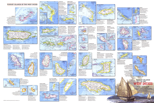
Tourist Islands of the West Indies - Published 1981
National Geographic
Featuring maps and information on over thirty islands in the Caribbean, the Tourist Islands of the West Indies map is half of a two-map set highlighting the unique tourist destinations to be found in the region. Published in National Geographic Magazine in February 1981, it accompanied the West Indies and Central America map.
Page Size: 33.75 x 22.5 in (855 x 571 mm)
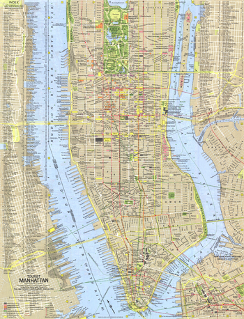
Tourist Manhattan - Published 1964
National Geographic
Published two years before construction began on the World Trade Center, this map provides a detailed look at Manhattan, the commercial, financial, and cultural center of New York City. Includes a complete index, making it easy to find the many points of interest that the island borough has to offer. Published in July 1964 as part of a two-map set with "Greater New York."
Page Size: 15.25 x 20 in (385 x 504 mm)
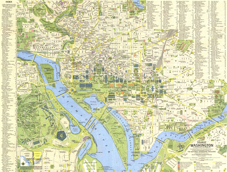
Tourist Washington - Published 1964
National Geographic
Explore the national capital of the United States. Published in December 1964, this map and its companion "Suburban Washington" make up the two-piece set that accompanied the article "Washington: The City Freedom Built."
Page Size: 20 x 15.25 in (507 x 383 mm)
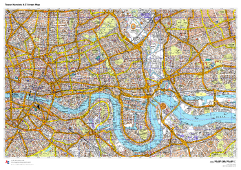
Tower Hamlets A-Z Street Map
A-Z Maps
This up-to-date A-Z street map covers the London Borough of Tower Hamlets, including the districts of Bethnal Green, Bow, Canary Wharf, Limehouse, Mile End, Poplar and Stepney.
Page Size: 33.25 x 23.5 in (841 x 594 mm)
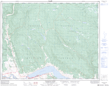
Tranquille River - 92 I/15 - British Columbia
Natural Resources Canada
Canadian topographic map of Tranquille River, British Columbia. NTS sheet 092I15 Edition 3.
Page Size: 31.75 x 25 in (802 x 634 mm)

Transcontinental Railways (1906)
Natural Resources Canada
Contained within the 1st Edition (1906) of the Atlas of Canada is a map that shows the Canada's transcontinental rail network, including the ownership of these lines. The portions of the main lines of the Grand Trunk, Grand Trunk Pacific, Canadian Pacific and Mackenzie & Mann (Canadian Northern) railway companies are shown as being in operation, under construction and projected systems. This is represented as either red, green, or blue, solid or dashed lines. Major rail lines in the U.S controlled by Canadian operators are also shown.
Page Size: 24.25 x 17.25 in (611 x 434 mm)
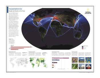
Transportation: People and Goods on the Move - Atlas of the World, 10th Edition
National Geographic
Global Transportation Systems; Comparing Travel; Shipping the World's Goods; Measuring Road Networks; Charting International Tourism; Recession and Growth
Page Size: 28 x 22 in (711 x 559 mm)
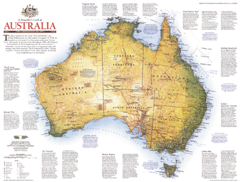
Travelers Look At Australia - Published 1988
National Geographic
National Geographic celebrated Australia's bicentennial with an entire issue devoted to the continent. This informative map details the country's history, climate, and tourist activities. Published in February 1988 as a companion to the map "Australia's Continental Odyssey."
Page Size: 27 x 20.5 in (685 x 516 mm)
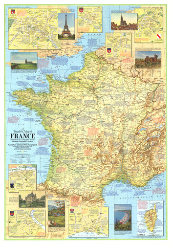
Travelers Map of France - Published 1971
National Geographic
This travel map of France features an abundance of historical notes and inset maps of major cities. Published in June 1971 to accompany the article "The Louvre, France's Palace of the Arts."
Page Size: 23 x 32.75 in (580 x 828 mm)
No search results