


MapSherpa Catalog
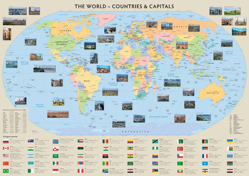
The World - Countries and Capitals
Sparrow Maps
A clear, political map of the world with capitals and other major cities named. Lavishly illustrated with images of the wide variety of different architecture and building styles of the capital cities. A table of megacity populations highlights the cities with over 10 million people. Flags of the 50 largest countries with area and population statistics complete the picture. A colourful and educational introduction to the countries of the world and their different populations.
Page Size: 39.5 x 28 in (1000 x 707 mm)
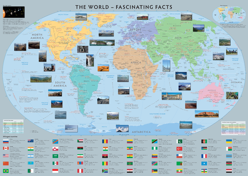
The World - Fascinating Facts
Sparrow Maps
A map of the world coloured by continent with countries and major cities named. A fun educational map with lots of fascinating facts about our world: extreme physical features and man-made structures are located with notes about latitude and longitude and world time zones, all lavishly illustrated with colourful images. A diagram illustrates the Earth's place in the Solar System and a Plate Tectonics map explains the structure of the Earth. Tables of land and sea areas and continent areas and population. Flags of the 50 largest countries with area and population statistics complete the picture. An amazing compilation of interesting information.
Page Size: 39.5 x 28 in (1000 x 707 mm)
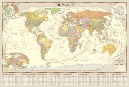
The World - Global Statistics
Sparrow Maps
Tables of statistics have been added to the vintage world map including areas and population of countries and cities, highest peaks, longest rivers, largest lakes, oceans and seas and largest islands. This information adds a level of facts about the physical world.
Page Size: 34.75 x 23.25 in (880 x 590 mm)
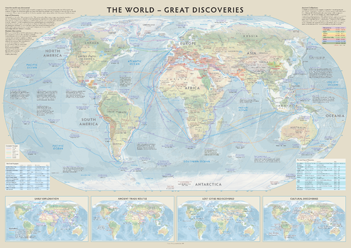
The World - Great Discoveries
Sparrow Maps
A map showing ancient civilizations, European voyages of discovery and first 'discoveries'
on land with names of explorers and dates, overlaid on a physical map of the world. Lavishly annotated with snippets of information on the motives for exploration and the names of places in olden times. Includes notes on ancient civilisations and the Age of Discovery with tables of The Great Voyagers and Famous Ships of Discovery. Inset maps of Early Exploration, Ancient Trade Routes, Lost Cities Rediscovered and Cultural Discoveries. This map brings together a brief synopsis of how we got to understand our world. Awarded 2nd Place in the Maps on Panels category at the 2023 International Cartographic Exhibition in South Africa.
Page Size: 39.5 x 28 in (1000 x 707 mm)
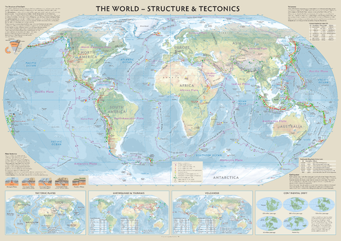
The World - Structure & Tectonics
Sparrow Maps
A physical map of the world showing plate boundaries, volcanoes, earthquakes and tsunamis, impact craters and prominent hotspots, explaining how natural phenomena create our dynamic planet. Illustrated texts describe the structure of the earth, the different types of plate movement, the index by which the explosiveness of volcanoes is measured and the Richter scale for earthquakes. Inset maps show the different types of plate boundaries, the largest and deadliest earthquakes and tsunamis, the largest and deadliest volcanic eruptions and continental drift. Beautifully designed, the educational value of this map is immense and will appeal to young and old alike.
Page Size: 39.5 x 28 in (1000 x 707 mm)
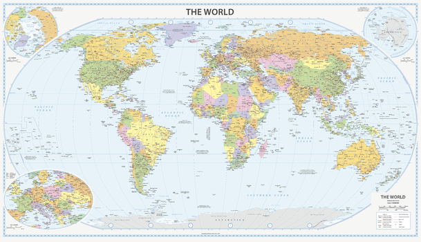
The World - Vibrant
Sparrow Maps
An alternative look to the Vintage World map using brighter colours, clearer symbology and modern fonts but retaining the same features. Capital cities and other major cities are shown together with major physical features, roads and airports. Insets of the Arctic and Antarctica and an enlargement of Central Europe. The map also includes world time zones and explanatory notes about the Tropics of Cancer and Capricorn, the Arctic and Antarctic Circles and Greenwich. A beautiful, clear, political map of the World in vibrant colours - ideal for a more modern décor.
Page Size: 39.5 x 22.75 in (1000 x 575 mm)
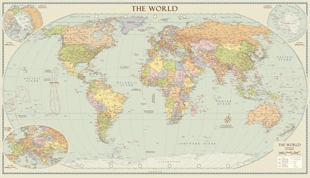
The World - Vintage
Sparrow Maps
A political map of the world in muted colours giving a vintage look. Capital cities and other major cities are shown together with major physical features, roads and airports. Insets of the Arctic and Antarctica and an enlargement of Central Europe. The map also includes world time zones and explanatory notes about the Tropics of Cancer and Capricorn, the Arctic and Antarctic Circles and Greenwich as well as an analemma that shows where the Sun appears in the sky at the same time every day for a year. A beautiful map with present day content but made to look old. Ideal for a traditional setting.
Page Size: 39.5 x 22.75 in (1000 x 575 mm)
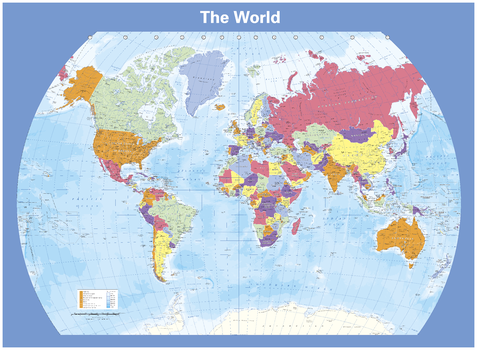
The World - colour blind friendly political world map
Cosmographics
There is likely to be at least one child in every classroom that is colour blind. Designed especially to help work with any form of colour blindness, this colourful, easy to read children's map of the World shows countries, capitals, a selection of cities and main towns and ocean depths. Ideal for the classroom or office.
Page Size: 54 x 39.5 in (1372 x 1000 mm)
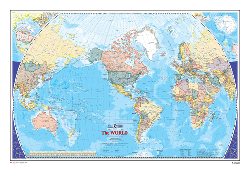
The World Wall Map - Atlas of Canada
Natural Resources Canada
This map shows the World at an equatorial scale of 1: 35 000 000. The map is a general reference sheet focusing on showing the name and status of all sovereign countries and dependencies, and showing major cities. The 2005 version has two new additions: one is showing shaded relief for land areas, the other is showing bathymetric contours and colours for all marine areas.
Page Size: 48.75 x 32.5 in (1232 x 825 mm)
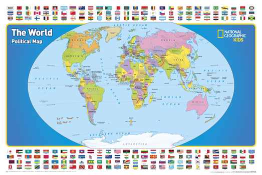
The World for Kids
National Geographic
National Geographic's The World for Kids wall map is an enticing and engaging world map perfect for classroom, home or library. Recommended by geography educators for ages 7 – 12, this map features an optimized map design for readability and easy, intuitive learning. All 195 independent countries and their official, colorful flags are represented and arranged in alphabetical order for ease-of-use. Expertly researched, The World for Kids map is an essential reference tool for today's interesting geographical world. Drawn in the Winkel Tripel projection, distortions are minimized and unlike many other World maps, Greenland is show the same size as Argentina and not as the size of all of South America.
Page Size: 36 x 24 in (914 x 610 mm)
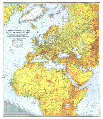
Theater of War in Europe, Africa and Western Asia - Published 1942
National Geographic
Published in July 1942 with the article "Western Front Map Embraces Three Continents," this extraordinary work is a must-have for World War II buffs. A striking piece, both visually, with its colorful relief shading, and historically.
Page Size: 26.75 x 31 in (677 x 782 mm)
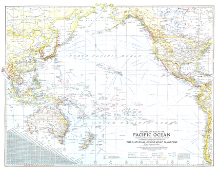
Theater of War in the Pacific Ocean - Published 1942
National Geographic
An exceptional historical piece, this map was published in February 1942 with an article entitled "Facts about the Philippines." Time zones, ship routes, and naval bases, make this a valuable map for collectors and those interested in World War II.
Page Size: 26.75 x 21 in (678 x 529 mm)
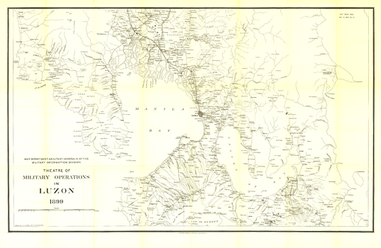
Theatre of Military Operations in Luzon - Published 1899
National Geographic
This black and white historical map illustrates the Theatre of Military Operations in Luzon during the Spanish-American War. Published in June 1899, this is a unique piece for collectors and those interested in the history of the Philippines.
Page Size: 39.75 x 26 in (1005 x 655 mm)
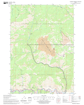
Thompson Creek Quadrangle, Idaho
United States Forest Service
United States Department of Agriculture Forestry Service topographical map of Thompson Creek, Salmon-Chalis National Forest, Idaho.
Page Size: 21.75 x 27 in (552 x 686 mm)
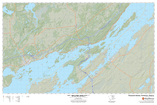
Thousand Islands, Ontario
MapSherpa
A cartographically beautiful map of Thousand Islands, Ontario ideal for showing off cottages, resorts, lakes and other favourite places.
Page Size: 36 x 24 in (914 x 610 mm)
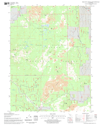
Thousand Lakes Valley Quadrangle, California
United States Forest Service
United States Department of Agriculture Forestry Service topographical map of Thousand Lakes Valley, Lassen National Forest, California.
Page Size: 21.75 x 27 in (552 x 686 mm)
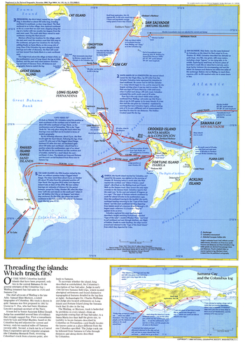
Threading the Islands - Published 1986
National Geographic
The "Threading the Islands" map explores two possible routes of Columbus's journey and possible landing sites. The Morisson track asserts that the explorer landed on San Salvador, while the Judge track favors Samana Cay. This map was printed in November 1986 to accompany three articles on Columbus and the "Where Did Columbus Discover America?" map. A fascinating new look at a centuries-old question.
Page Size: 14.75 x 20.5 in (370 x 518 mm)
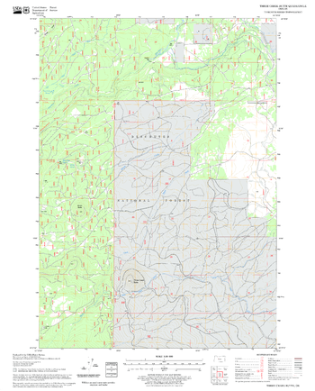
Three Creek Butte Quadrangle, Oregon
United States Forest Service
United States Department of Agriculture Forestry Service topographical map of Three Creek Butte, Deschutes National Forest, Oregon.
Page Size: 21.75 x 27 in (552 x 686 mm)
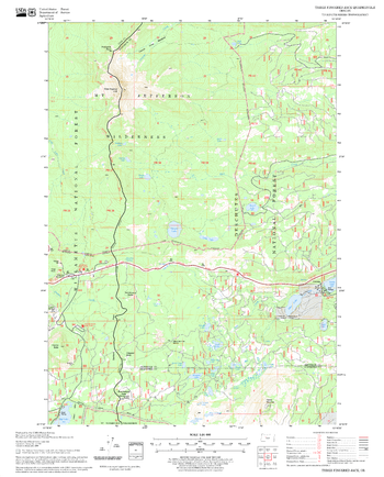
Three Fingered Jack Quadrangle, Oregon
United States Forest Service
United States Department of Agriculture Forestry Service topographical map of Three Fingered Jack, Deschutes National Forest, Oregon.
Page Size: 21.75 x 27 in (552 x 686 mm)
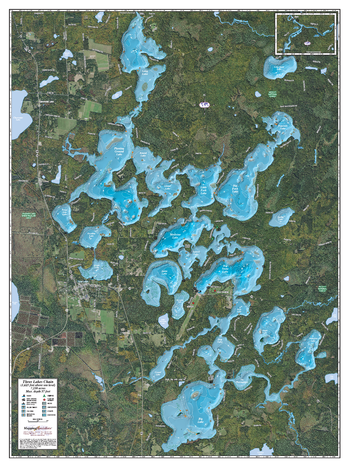
Three Lakes Chain
Mapping Specialists
An Attractive map of the lake showing a visual 3D representation of the lake bottom. Includes boat launches, rock area and vegetation. Land area is high resolution aerial imagery.
Page Size: 27.75 x 37.25 in (705 x 943 mm)
No search results