


MapSherpa Catalog
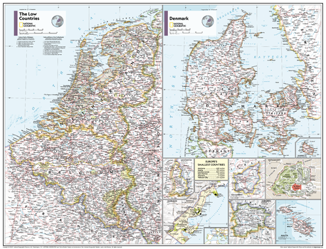
The Low Countries, Denmark, and Europe's Smallest Countries - Atlas of the World, 11th Edition - Compact
National Geographic
This Low Countries, Denmark and Europe's Smallest Countries map of physical and political features can fit in any space. Showcasing the countries in stunning detail with state-of-the-art cartographic techniques delivering accuracy and exceptional quality, the innovative and engaging design makes the content easily accessible and user-friendly.
Ideal for classrooms with an emphasis on teaching geography or environmental themes. The inclusion of physical features give your students a genuine feel for how our world appears.
This map uses a bright, easy to read color palette featuring blue oceans and stunning shaded relief that has been featured on National Geographic wall maps for over 75 years. It is drawn in Conic projection, in which an area of the earth is projected onto a cone.
Names of geographic features are carefully placed on the map to maintain legibility. This map of nine regions includes the area of Europe's six smallest nations - Andorra, Malta, Liechtenstein, San Marino, Monaco, and Vatican City.
This map is found in National Geographic's 11th Edition World Atlas and is now available as a stand alone product.
Page Size: 21.5 x 16.25 in (540 x 413 mm)
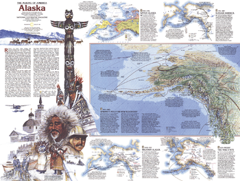
The Making of America, Alaska Theme - Published 1984
National Geographic
Part of the "Making of America" series, this map of Alaska is Side Two of a two-map set. Published in January 1984, this work features an abundance of historical information about the native cultures of the region, Alaska's natural resources, its military importance, and more.
Page Size: 27.25 x 20.5 in (686 x 516 mm)
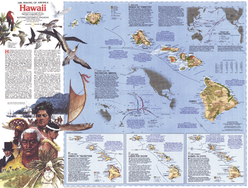
The Making of America, Hawaii Theme - Published 1983
National Geographic
This map details the rich history of the Hawaiian Islands of the United States, from the arrival of the Polynesians to present day. Features multiple inset maps showing specific time periods, illustrations, and a wealth of historical information. Published in November 1983 as part of the "Making of America" series, and half of a two–map set with a Hawaii overview map.
Page Size: 27 x 20.5 in (685 x 519 mm)
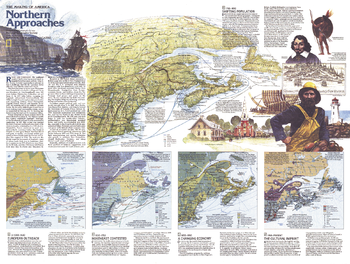
The Making of America, Northern Approaches Theme - Published 1985
National Geographic
This map of the Northern Approaches represents Side Two of a two-map set published in February 1985 as part of the "Making of America" series. Highlighting the rich history of the Maritimes and New England, this educational map includes a physical relief map of the region, an abundance of historical information, and four inset maps representing particular historical periods.
Page Size: 27.25 x 20.5 in (687 x 518 mm)
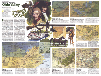
The Making of America, Ohio Valley Theme - Published 1985
National Geographic
Published in December 1985, this map of the Ohio Valley represents Side Two in a two-map set in the "Making of America" series. Multiple maps illustrate the region's change from the frontier settlements of Daniel Boone and his contemporaries, to the agricultural, mining, power, and manufacturing industries of today.
Page Size: 27.25 x 20.5 in (690 x 518 mm)
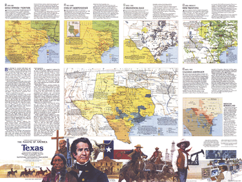
The Making of America, Texas Theme - Published 1986
National Geographic
The exciting history of "The Lone Star State" is highlighted in this map of Texas which appeared in National Geographic in March 1986. Filled with special inset maps and notes detailing historical periods, this map represents Side Two of a two-map set in the "Making of America" series.
Page Size: 27.25 x 20.5 in (690 x 518 mm)
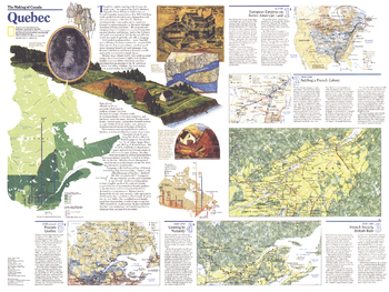
The Making of Canada, Quebec Theme - Published 1991
National Geographic
When the Earl of Durham was dispatched to analyze French-Canadian insurrections in 1838, he condemned the "vain endeavour to preserve a French Canadian nationality in the midst of Anglo-American colonies and states." But Quebec has indeed managed to maintain its French heritage and culture. Published in March 1991 as half of a two-map set with a political map of Quebec, "The Making of Canada: Quebec" reveals a wealth of information about the history of the unique province.
Page Size: 27.25 x 20.5 in (690 x 518 mm)
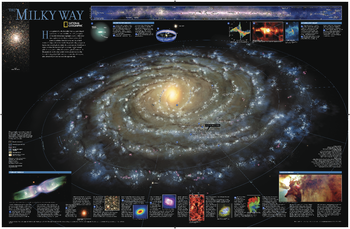
The Milky Way
National Geographic
This computer-generated image of the Milky Way shows the entire galaxy in one perspective of a 3-D model compiled specially for National Geographic. The model incorporates the positions of hundreds of thousands of stars and nebulae within the galaxy, shows Earth's location, and includes additional photographs, descriptions and locations of fascinating phenomena throughout the Milky Way.
Page Size: 31.25 x 20.25 in (794 x 514 mm)
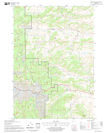
The Notch Quadrangle, South Dakota
United States Forest Service
United States Department of Agriculture Forestry Service topographical map of The Notch, Black Hills National Forest, South Dakota.
Page Size: 21.75 x 27 in (552 x 686 mm)
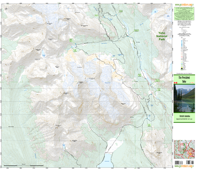
The President & Area
GoTrekkers
The President & Area
Page Size: 39.5 x 34 in (1003 x 864 mm)
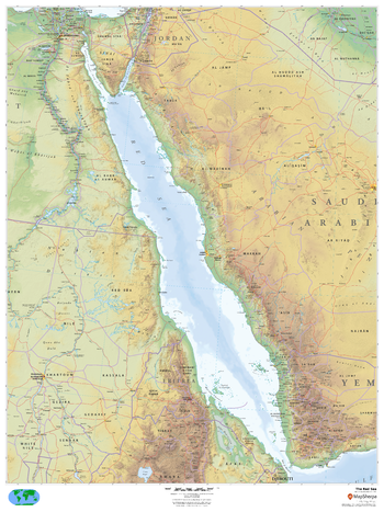
The Red Sea
MapSherpa
This beautiful map shows physical and political features for the Red Sea and surrounding areas. Relief shading and the use of different colours by height above sea level are both informative and attractive.
Page Size: 36 x 48 in (914 x 1219 mm)
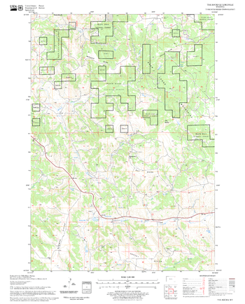
The Rocks Quadrangle, South Dakota
United States Forest Service
United States Department of Agriculture Forestry Service topographical map of The Rocks, Black Hills National Forest, South Dakota.
Page Size: 21.75 x 27 in (552 x 686 mm)
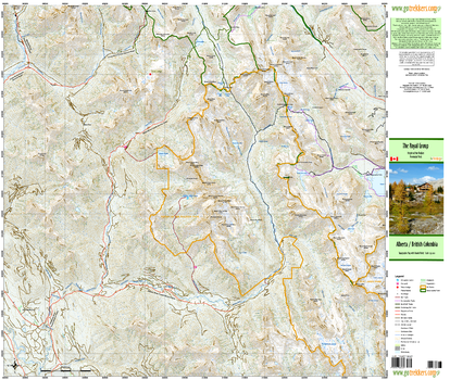
The Royal Group
GoTrekkers
The Royal Group
Page Size: 35.5 x 30 in (902 x 762 mm)
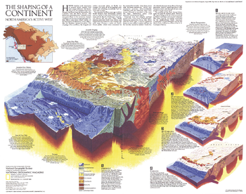
The Shaping of a Continent - Published 1985
National Geographic
Half of a two-map set, the "Shaping of a Continent: North America's Active West" map features detail of the one of the most active tectonic areas in the world. Published in August 1985, this map accompanied the "Earth's Dynamic Crust" map and the article "Our Restless Planet Earth."
Page Size: 22.75 x 18 in (575 x 454 mm)
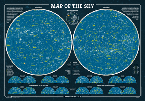
The Sky Wall Map
Geo4Map
The fascinating world of astronomy illustrated in detailed charts of the sky.
Page Size: 38.75 x 27 in (980 x 680 mm)

The Sky Wall Map - Italian
Geo4Map
The fascinating world of astronomy illustrated in detailed charts of the sky in Italian.
Page Size: 38.75 x 27 in (980 x 680 mm)
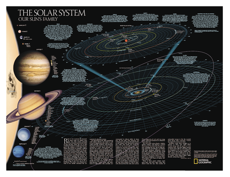
The Solar System: Our Sun's Family – Side A
National Geographic
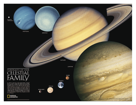
The Solar System, Our Sun's Family, has two sides. The first side includes a description of how our solar system was formed, and shows a map of our solar system, with each planet's orbit in relation to the Sun and to the other planets. Interesting facts and figures accompany each planet's description. Side two is a stunning poster that shows images of each planet.
Page Size: 24.25 x 18.25 in (616 x 464 mm)
The Solar System: Portraits of Our Celestial Family – Side B
National Geographic
The Solar System, Our Sun's Family, has two sides. The first side includes a description of how our solar system was formed, and shows a map of our solar system, with each planet's orbit in relation to the Sun and to the other planets. Interesting facts and figures accompany each planet's description. Side two is a stunning poster that shows images of each planet.
Page Size: 24.25 x 18.25 in (616 x 464 mm)
The Thrill of the Chase
Benchmark Maps
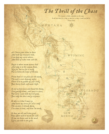
This wall map illustrates the searchable area for Forrest Fenn’s famous treasure chest. Our map first appeared as a fold-out in Forrest’s 2013 memoir Too Far To Walk. His treasure was found in the spring of 2020 at an undisclosed location in Wyoming. Within a few months Forrest passed away at his home in Santa Fe, New Mexico. We keep this map available as a keepsake for those who experienced the Thrill of the Chase.
Page Size: 26 x 32 in (660 x 813 mm)
The Times Map of Africa (Physical Features)
The Times
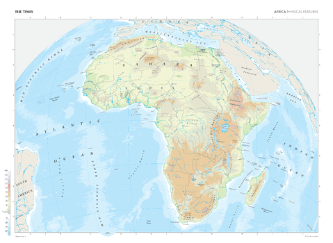
This map of Africa's physical features stands as a benchmark of cartographic excellence, sourced from the industry-leading Times Comprehensive Atlas of the World. Published in full colour, this map offers a comprehensive and updated view of the diverse geographical attributes that characterise the African continent. Without any political divisions, this map provides a clear representation of Africa's natural features. With meticulous attention to detail, this map is an indispensable guide to the geographic intricacies and highlights of Africa's physical characteristics.
Page Size: 36.5 x 26.75 in (924 x 675 mm)
No search results