


MapSherpa Catalog
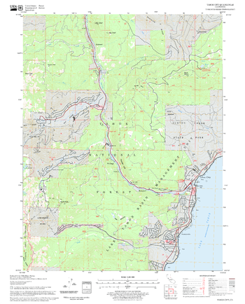
Tahoe City Quadrangle, California
United States Forest Service
United States Department of Agriculture Forestry Service topographical map of Tahoe City, Tahoe National Forest, California.
Page Size: 21.75 x 27 in (552 x 686 mm)

Tali Karng - Moroka, Victoria Topographic Map
Spatial Vision
Outdoor Recreation Guide of Tali Karng-Moroka area in Victoria for Bushwalking, skiing, mountain biking and car touring
Page Size: 39.5 x 32 in (1000 x 810 mm)
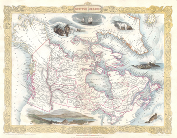
Tallis Map of Canada or British America with Oregon (1849)
Artokoloro
1849 map of British America and Russian America (Alaska) by John Tallis and Company. Map title: British America
Page Size: 18 x 14.25 in (457 x 356 mm)
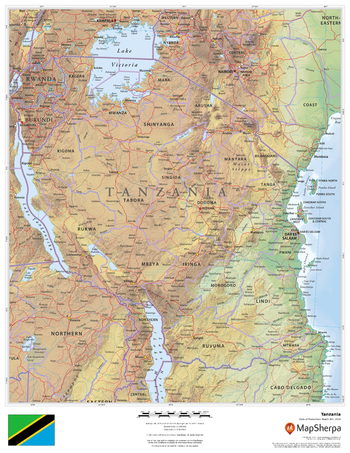
Tanzania
MapSherpa
This beautiful map shows physical and political features for Tanzania and surrounding areas. Relief shading and the use of different colours by height above sea level are both informative and attractive.
Page Size: 17 x 22 in (432 x 559 mm)
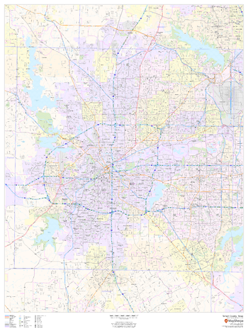
Tarrant County, Texas
MapSherpa
This map of Tarrant County, Texas shows regional level information. Base map features include highways and major roads with labelling; neighborhood names; railways; high level land use such as parks and recreation areas, industrial areas and hospital campuses; and a selection of points of interest including transportation hubs like airports and train stations, tourist information, police stations and shopping centres. ZIP code boundaries are shown as a secondary map feature.
Page Size: 36 x 48 in (914 x 1219 mm)
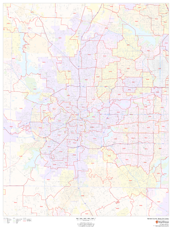
Tarrant County, Texas ZIP Codes
MapSherpa
This map of Tarrant County, Texas shows ZIP code areas overlaid on a road map. Ideal for planning of deliveries, home services, sales territories, real estate and much more. Base map features include all roads with major roads and highways labelled; neighborhood names; railways; and high level land use such as parks and recreation areas, industrial areas and hospital campuses.
Page Size: 36 x 48 in (914 x 1219 mm)
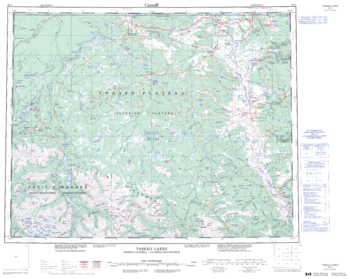
Taseko Lakes - 92 O - British Columbia
Natural Resources Canada
Canadian topographic map of Taseko Lakes, British Columbia. NTS sheet 092O Edition 3.
Page Size: 27.5 x 22 in (697 x 555 mm)

Tasmania State Wall Map
Hardie Grant
Tasmania state map coverage including King & Flinders Islands. This map clearly shows dual carriageways, highways, and other roads, distances between towns, route numbers, towns with an indication of the size of each town and also comprehensive listing of towns & localities. Also included are Visitor Information Centres, World Heritage Areas, Reserves & National Parks . This is an easy to read map that will help you find your way around Tasmania with ease and is ideal for both travel & business. Maps are also available for other Australian states & territories for a comprehensive coverage of Australia.
Page Size: 27.25 x 39.5 in (690 x 1000 mm)

Tasmania State Wall Map
Hema Maps
A state map of Tasmania that is an ideal travel reference and wall map.
Page Size: 28.25 x 40 in (716 x 1016 mm)

Tasmania Supermap
Hema Maps
A large state map of Tasmania that is an ideal travel reference and wall map.
Page Size: 40.25 x 57 in (1017 x 1446 mm)
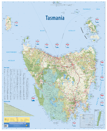
Tasmania, Australia State Wall Map
Meridian Maps
This wall map is unlike any other map of Tasmania. Packed with features, and a clean and easy to read design, it is an invaluable tool for business or home. Features of the map include all the states islands in the correct geographical location, Macquarie Island inset, all public land use and tourist sites shown.
Page Size: 35.25 x 43.25 in (895 x 1095 mm)
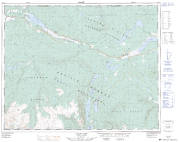
Tatla Lake - 92 N/15 - British Columbia
Natural Resources Canada
Canadian topographic map of Tatla Lake, British Columbia. NTS sheet 092N15 Edition 2.
Page Size: 31.75 x 25.25 in (804 x 641 mm)
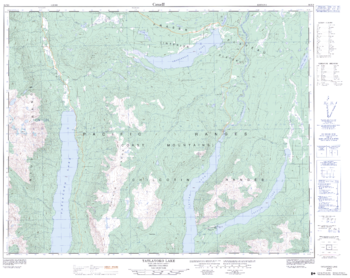
Tatlayoko Lake - 92 N/9 - British Columbia
Natural Resources Canada
Canadian topographic map of Tatlayoko Lake, British Columbia. NTS sheet 092N09 Edition 2.
Page Size: 32 x 25.5 in (808 x 642 mm)
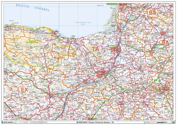
Taunton - TA - Postcode Wall Map
XYZ Maps
The Taunton Postcode Sector Wall Map shows detailed postcode sector boundaries (TA1 1, TA1 2) on a comprehensive background and is perfect for determining postcode boundaries for sales areas, planning mailshots and also an excellent reference for logistics. This wall map covers the whole of the TA Postcode Area.
Page Size: 47 x 33.25 in (1189 x 841 mm)
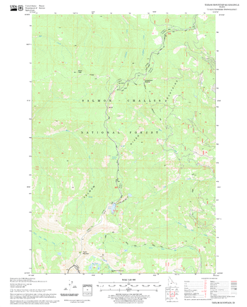
Taylor Mountain Quadrangle, Idaho
United States Forest Service
United States Department of Agriculture Forestry Service topographical map of Taylor Mountain, Salmon-Chalis National Forest, Idaho.
Page Size: 21.75 x 27 in (552 x 686 mm)
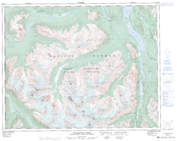
Tchaikazan River - 92 O/4 - British Columbia
Natural Resources Canada
Canadian topographic map of Tchaikazan River, British Columbia. NTS sheet 092O04 Edition 2.
Page Size: 32.25 x 25.5 in (814 x 646 mm)
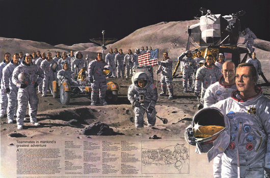
Teammates in Mankinds Greatest Adventure - Published 1973
National Geographic
Space enthusiasts will appreciate this Pierre Mion poster depicting all of the Apollo astronauts in their space suits and equipment on a lunar landscape. Accurate in every detail.
Page Size: 34 x 22.5 in (862 x 569 mm)
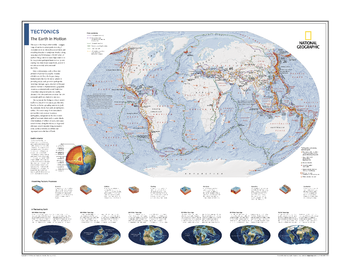
Tectonics: The Earth in Motion - Atlas of the World, 10th Edition
National Geographic
Plate Boundaries, Earthquakes, Volcanoes, and Hot Spots; Earth's Interior; Visualizing Tectonic Processes; A Fluctuating Earth
Page Size: 28 x 22 in (711 x 559 mm)
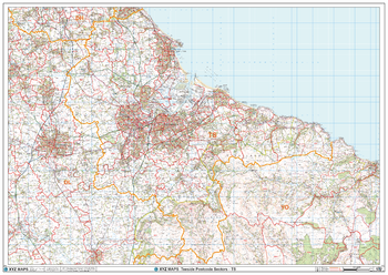
Teeside - TS - Postcode Wall Map
XYZ Maps
The Teeside Postcode Sector Wall Map shows detailed postcode sector boundaries (TS1 1, TS1 2) on a comprehensive background and is perfect for determining postcode boundaries for sales areas, planning mailshots and also an excellent reference for logistics. This wall map covers the whole of the TS Postcode Area.
Page Size: 47 x 33.25 in (1189 x 841 mm)

Telegraphs British Columbia, Yukon and Alberta (1906)
Natural Resources Canada
Contained within the 1st Edition (1906) of the Atlas of Canada is a map that shows the telegraph network for British Columbia, Yukon and Alberta. Two or more lines may follow the same route, but only one line is indicated on the map. Therefore, well-settled portions of the country may have two or three telegraph lines serving the principal towns along each route indicated. It shows the shore portions of various cable lines along the Pacific coast of Canada, and a couple running underwater. Most telegraph lines follow alongside railway lines. The Yukon is separate, being displayed at the top right of the map in a magnified boundary. The map includes provinces, major cities, counties, rivers, major bodies of water the railway systems. The map also displays part of the rectangular survey system which records the land that is available to the public. This grid like system is divided into sections, townships, range, and meridian from mid-Manitoba to Alberta.
Page Size: 24.25 x 17.25 in (611 x 434 mm)
No search results