


MapSherpa Catalog
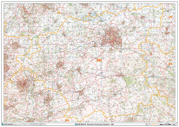
Swindon - SN - Postcode Wall Map
XYZ Maps
The Swindon Postcode Sector Wall Map shows detailed postcode sector boundaries (SN1 1, SN1 2) on a comprehensive background and is perfect for determining postcode boundaries for sales areas, planning mailshots and also an excellent reference for logistics. This wall map covers the whole of the SN Postcode Area.
Page Size: 47 x 33.25 in (1189 x 841 mm)
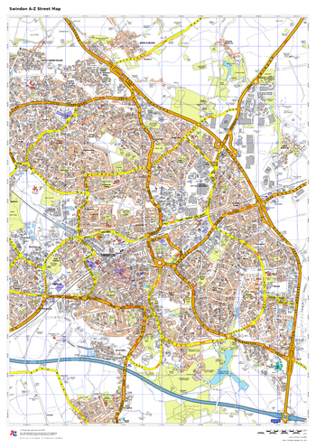
Swindon A-Z Street Map
A-Z Maps
This up-to-date A-Z street map covers Swindon, including the town centre together with the surrounding districts of Old Town, Gorse Hill, Rodbourne, Walcot, Penhill and Haydon Wick.
Page Size: 23.5 x 33.25 in (594 x 841 mm)
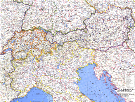
Switzerland, Austria, and Northern Italy - Published 1965
National Geographic
Published in 1965 with the article "The Alps: Man's Own Mountains," this map offers a detailed look at the countries occupying this particularly beautiful mountain region. A wonderful companion map to "The Alps, Europe's Backbone," a relief map printed in the same issue.
Page Size: 25 x 19 in (631 x 478 mm)
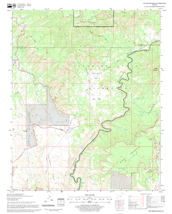
Sycamore Basin Quadrangle, Arizona
United States Forest Service
United States Department of Agriculture Forestry Service topographical map of Sycamore Basin, Coconino National Forest, Arizona.
Page Size: 21.75 x 27 in (552 x 686 mm)
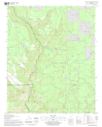
Sycamore Point Quadrangle, Arizona
United States Forest Service
United States Department of Agriculture Forestry Service topographical map of Sycamore Point, Coconino National Forest, Arizona.
Page Size: 21.75 x 27 in (552 x 686 mm)

Sydney & Region Supermap
Hema Maps
A large map of the Greater Sydney region that is ideal for reference, planning, or memories of a favourite trip.
Page Size: 39.5 x 56 in (1000 x 1420 mm)

Sydney & Region Wall Map
Hema Maps
A map of the Greater Sydney region that is ideal for reference, planning, or memories of a favourite trip.
Page Size: 27.75 x 39.5 in (700 x 1000 mm)
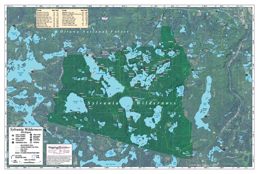
Sylvania Wilderness Area
Mapping Specialists
An Attractive map of the lake showing a visual 3D representation of the lake bottom. Includes boat launches, rock area and vegetation. Land area is high resolution aerial imagery.
Page Size: 41.25 x 27.75 in (1045 x 705 mm)
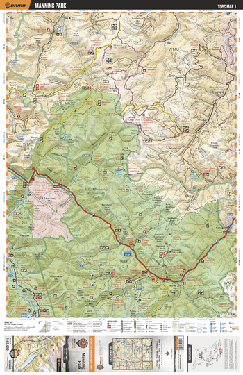
TOBC01 Manning Park - Thompson Okanagan BC Topo Map
Backroad Mapbooks
This recreation topographic map for the Manning Park area highlights all the logging roads, trails and recreational Points of Interest including hunting, camping, hiking, mountain biking, canoeing, kayaking, backcountry skiing, snowshoeing, cross-country skiing, wildlife viewing, ATVing, snowmobiling and more. No other map provides you with this level of recreational and topographic detail for the Manning Park area. Special features include private land and countless roads, trails and recreational Points of Interest. Covering 1,950 km2 (750 mi2) in total, this 1:65,000 scale map measures 38 x 51 km (23.5 x 32 mi) and includes Dewdney Trail, Garrison Lake, Gibson Pass, Lightning Lake, Similkameen River, Skagit Provincial Forest, Skagit River, Sumallo River, Thunder Lake, Windy Joe Mountain, Whipsaw Creek and more!
Page Size: 24 x 37 in (610 x 940 mm)
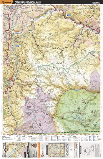
TOBC02 Cathedral Provincial Park - Thompson Okanagan BC Topo Map
Backroad Mapbooks
This recreation topographic map for the Cathedral Provincial Park area highlights all the logging roads, trails and recreational Points of Interest including hunting, camping, hiking, mountain biking, canoeing, kayaking, backcountry skiing, snowshoeing, cross-country skiing, wildlife viewing, ATVing, snowmobiling and more. No other map for the area provides you with this level of recreational or topographic detail. Special features include private land and countless roads, trails and recreational Points of Interest. Covering 1,950 km2 (750 mi2) in total, this 1:65,000 scale map measures 38 x 51 km (23.5 x 32 mi) and includes Cathedral Provincial Park, Ashnola River, Similkameen River, Copper Mountain, Princeton, Hedley and more!
Page Size: 24 x 37 in (610 x 940 mm)
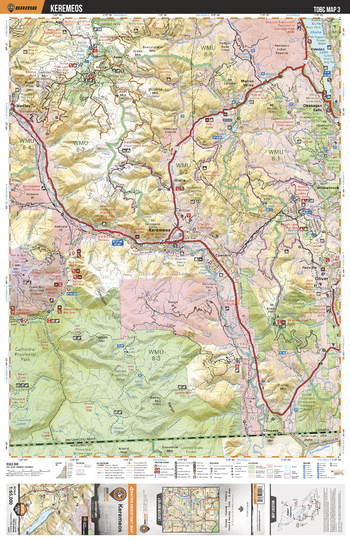
TOBC03 Keremeos - Thompson Okanagan BC Topo Map
Backroad Mapbooks
This recreation topographic map for the Keremeos area highlights all the logging roads, trails and recreational Points of Interest including hunting, camping, hiking, mountain biking, canoeing, kayaking, backcountry skiing, snowshoeing, cross-country skiing, wildlife viewing, ATVing, snowmobiling and more. No other map for the area provides you with this level of recreational or topographic detail. Special features include private land and countless roads, trails and recreational Points of Interest. Covering 1,950 km2 (750 mi2) in total, this 1:65,000 scale map measures 38 x 51 km (23.5 x 32 mi) and includes Keremeos, Okanagan Falls Provincial Park, Skaha Lake, Similkameen River, Cathedral Provincial Park, Oliver and more!
Page Size: 24 x 37 in (610 x 940 mm)
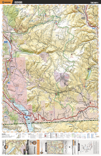
TOBC04 Osoyoos - Thompson Okanagan BC Topo Map
Backroad Mapbooks
This recreation topographic map for the Osoyoos area highlights all the logging roads, trails and recreational Points of Interest including hunting, camping, hiking, mountain biking, canoeing, kayaking, backcountry skiing, snowshoeing, cross-country skiing, wildlife viewing, ATVing, snowmobiling and more. No other map for the area provides you with this level of recreational or topographic detail. Special features include private land and countless roads, trails and recreational Points of Interest. Covering 1,950 km2 (750 mi2) in total, this 1:65,000 scale map measures 38 x 51 km (23.5 x 32 mi) and includes Osoyoos, Okanagan River, Osoyoos Lake, Conkle Lake, Conkle Lake Provincial Park, Mount Baldy and more!
Page Size: 24 x 37 in (610 x 940 mm)
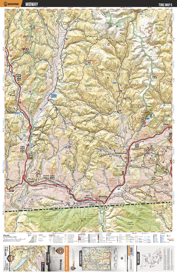
TOBC05 Midway - Thompson Okanagan BC Topo Map
Backroad Mapbooks
This recreation topographic map for the Midway area highlights all the logging roads, trails and recreational Points of Interest including hunting, camping, hiking, mountain biking, canoeing, kayaking, backcountry skiing, snowshoeing, cross-country skiing, wildlife viewing, ATVing, snowmobiling and more. No other map for the area provides you with this level of recreational or topographic detail. Special features include private land and countless roads, trails and recreational Points of Interest. Covering 1,950 km2 (750 mi2) in total, this 1:65,000 scale map measures 38 x 51 km (23.5 x 32 mi) and includes Midway, Kettle River, Boundary Creek Provincial Park, Greenwood, Rock Creek, Kettle Valley and more!
Page Size: 24 x 37 in (610 x 940 mm)
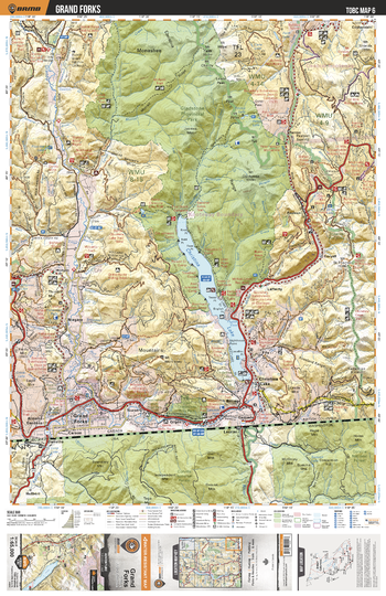
TOBC06 Grand Forks - Thompson Okanagan BC Topo Map
Backroad Mapbooks
This recreation topographic map for the Grand Forks area highlights all the logging roads, trails and recreational Points of Interest including hunting, camping, hiking, mountain biking, canoeing, kayaking, backcountry skiing, snowshoeing, cross-country skiing, wildlife viewing, ATVing, snowmobiling and more. No other map for the area provides you with this level of recreational or topographic detail. Special features include private land and countless roads, trails and recreational Points of Interest. Covering 1,950 km2 (750 mi2) in total, this 1:65,000 scale map measures 38 x 51 km (23.5 x 32 mi) and includes Grand Forks, Christina Lake, Gladstone Provinical Park, Granby River, Christina Lake Provincial Park, Jointed Mountain and more!
Page Size: 24 x 37 in (610 x 940 mm)
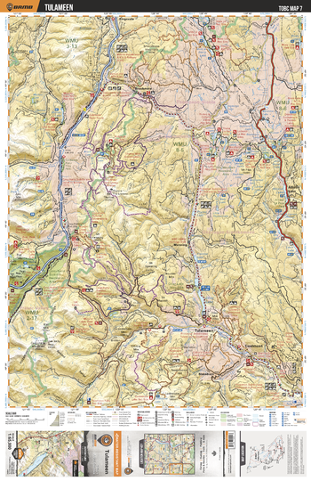
TOBC07 Tulameen - Thompson Okanagan BC Topo Map
Backroad Mapbooks
This recreation topographic map for the Tulameen area highlights all the logging roads, trails and recreational Points of Interest including hunting, camping, hiking, mountain biking, canoeing, kayaking, backcountry skiing, snowshoeing, cross-country skiing, wildlife viewing, ATVing, snowmobiling and more. No other map for the area provides you with this level of recreational or topographic detail. Special features include private land and countless roads, trails and recreational Points of Interest. Covering 1,950 km2 (750 mi2) in total, this 1:65,000 scale map measures 38 x 51 km (23.5 x 32 mi) and includes Tulameen, Coldwater River, Tulameen River, Coquihalla Summit Recreation Area, Falls Lake, Allison Lake and more!
Page Size: 24 x 37 in (610 x 940 mm)
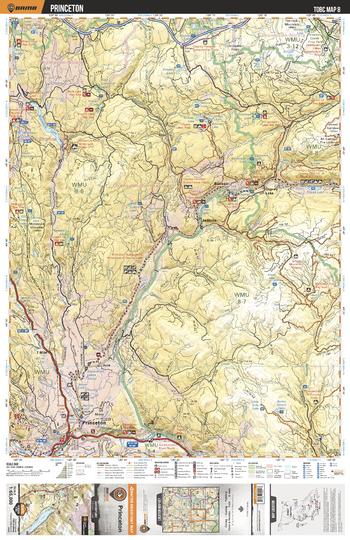
TOBC08 Princeton - Thompson Okanagan BC Topo Map
Backroad Mapbooks
This recreation topographic map for the Princeton area highlights all the logging roads, trails and recreational Points of Interest including hunting, camping, hiking, mountain biking, canoeing, kayaking, backcountry skiing, snowshoeing, cross-country skiing, wildlife viewing, ATVing, snowmobiling and more. No other map for the area provides you with this level of recreational or topographic detail. Special features include private land and countless roads, trails and recreational Points of Interest. Covering 1,950 km2 (750 mi2) in total, this 1:65,000 scale map measures 38 x 51 km (23.5 x 32 mi) and includes Princeton, Similkameen River, Whitehead Lake, Teepee Lakes, Missezula Lake, Thirsk Lake, Bankeir and more!
Page Size: 24 x 37 in (610 x 940 mm)
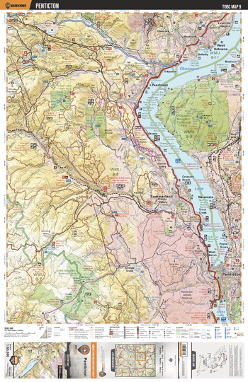
TOBC09 Penticton - Thompson Okanagan BC Topo Map
Backroad Mapbooks
This recreation topographic map for the Penticton area highlights all the logging roads, trails and recreational Points of Interest including hunting, camping, hiking, mountain biking, canoeing, kayaking, backcountry skiing, snowshoeing, cross-country skiing, wildlife viewing, ATVing, snowmobiling and more. No other map for the area provides you with this level of recreational or topographic detail. Special features include private land and countless roads, trails and recreational Points of Interest. Covering 1,950 km2 (750 mi2) in total, this 1:65,000 scale map measures 38 x 51 km (23.5 x 32 mi) and includes Penticton, Okanagan Mountain Provincial Park, Darke Lake Provincial Park, Eneas Lake Provincial Park, Okanagan Lake, Skaha Lake and more!
Page Size: 24 x 37 in (610 x 940 mm)
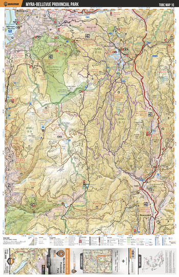
TOBC10 Myra-Bellvue Provincial Park - Thompson Okanagan BC Topo Map
Backroad Mapbooks
This recreation topographic map for the Myra-Bellvue Provincial Park area highlights all the logging roads, trails and recreational Points of Interest including hunting, camping, hiking, mountain biking, canoeing, kayaking, backcountry skiing, snowshoeing, cross-country skiing, wildlife viewing, ATVing, snowmobiling and more. No other map for the area provides you with this level of recreational or topographic detail. Special features include private land and countless roads, trails and recreational Points of Interest. Covering 1,950 km2 (750 mi2) in total, this 1:65,000 scale map measures 38 x 51 km (23.5 x 32 mi) and includes Myra-Bellevue Provincial Park, Hydraulic Lake, Beaverdell, Skaha Bluffs Provincial Park, Idleback Lake and more!
Page Size: 24 x 37 in (610 x 940 mm)
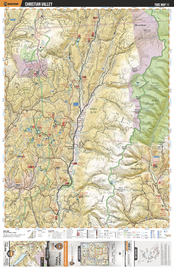
TOBC11 Christian Valley - Thompson Okanagan BC Topo Map
Backroad Mapbooks
This recreation topographic map for the Christian Valley area highlights all the logging roads, trails and recreational Points of Interest including hunting, camping, hiking, mountain biking, canoeing, kayaking, backcountry skiing, snowshoeing, cross-country skiing, wildlife viewing, ATVing, snowmobiling and more. No other map for the area provides you with this level of recreational or topographic detail. Special features include private land and countless roads, trails and recreational Points of Interest. Covering 1,950 km2 (750 mi2) in total, this 1:65,000 scale map measures 38 x 51 km (23.5 x 32 mi) and includes Big White Mountain, Granby Provincial Park, Kettle River, Granby River, Rendell Creek, Joan LakeCopper Kettle Lake and more!
Page Size: 24 x 37 in (610 x 940 mm)
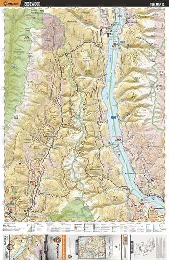
TOBC12 Edgewood - Thompson Okanagan BC Topo Map
Backroad Mapbooks
This recreation topographic map for the Edgewood area highlights all the logging roads, trails and recreational Points of Interest including hunting, camping, hiking, mountain biking, canoeing, kayaking, backcountry skiing, snowshoeing, cross-country skiing, wildlife viewing, ATVing, snowmobiling and more. No other map for the area provides you with this level of recreational or topographic detail. Special features include private land and countless roads, trails and recreational Points of Interest. Covering 1,950 km2 (750 mi2) in total, this 1:65,000 scale map measures 38 x 51 km (23.5 x 32 mi) and includes Edgewood, Lower Arrow Lake, Gladstone Provincial Park, Granby Provincial Park, Mount Oleary, Granby River and more!
Page Size: 24 x 37 in (610 x 940 mm)
No search results