


MapSherpa Catalog
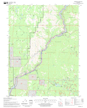
Storrie Quadrangle, California
United States Forest Service
United States Department of Agriculture Forestry Service topographical map of Storrie, Lassen National Forest, California.
Page Size: 21.75 x 27 in (552 x 686 mm)
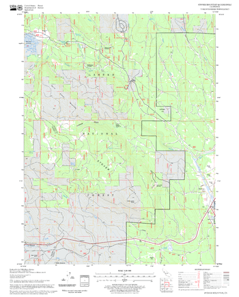
Stover Mountain Quadrangle, California
United States Forest Service
United States Department of Agriculture Forestry Service topographical map of Stover Mountain, Lassen National Forest, California.
Page Size: 21.75 x 27 in (552 x 686 mm)
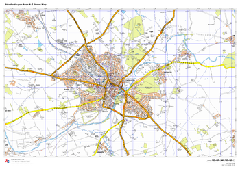
Stratford-upon-Avon A-Z Street Map
A-Z Maps
This up-to-date A-Z street map indexes more than 550 streets in and around Stratford-upon-Avon. Coverage extends from Tiddington to Drayton, Lower Clopton to Clifford.
Page Size: 33.25 x 23.5 in (841 x 594 mm)
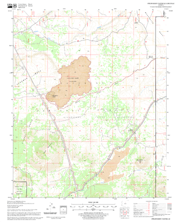
Strawberry Crater Quadrangle, Arizona
United States Forest Service
United States Department of Agriculture Forestry Service topographical map of Strawberry Crater, Coconino National Forest, Arizona.
Page Size: 21.75 x 27 in (552 x 686 mm)
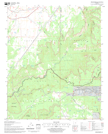
Strawberry Quadrangle, Arizona
United States Forest Service
United States Department of Agriculture Forestry Service topographical map of Strawberry, Coconino National Forest, Arizona.
Page Size: 21.75 x 27 in (552 x 686 mm)
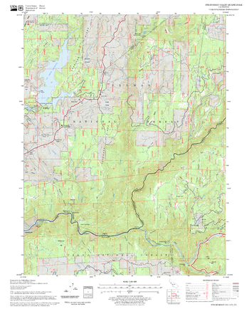
Strawberry Valley Quadrangle, California
United States Forest Service
United States Department of Agriculture Forestry Service topographical map of Strawberry Valley, Tahoe National Forest, California.
Page Size: 21.75 x 27 in (552 x 686 mm)
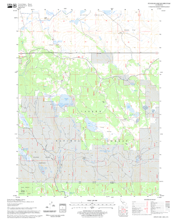
Straylor Lake Quadrangle, California
United States Forest Service
United States Department of Agriculture Forestry Service topographical map of Straylor Lake, Lassen National Forest, California.
Page Size: 21.75 x 27 in (552 x 686 mm)
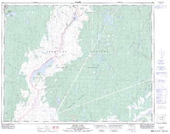
Stump Lake - 92 I/8 - British Columbia
Natural Resources Canada
Canadian topographic map of Stump Lake, British Columbia. NTS sheet 092I08 Edition 3.
Page Size: 32.5 x 25.5 in (821 x 644 mm)
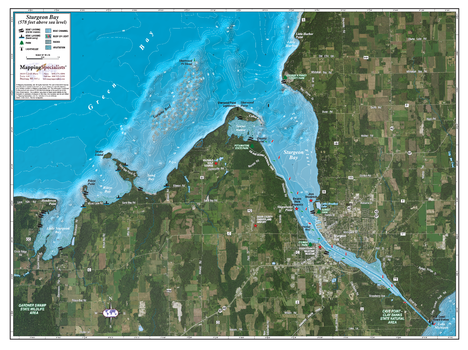
Sturgeon Bay
Mapping Specialists
An Attractive map of the lake showing a visual 3D representation of the lake bottom. Includes boat launches, rock area and vegetation. Land area is high resolution aerial imagery.
Page Size: 37.25 x 27.75 in (943 x 705 mm)
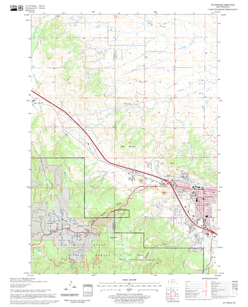
Sturgis Quadrangle, South Dakota
United States Forest Service
United States Department of Agriculture Forestry Service topographical map of Sturgis, Black Hills National Forest, South Dakota.
Page Size: 21.75 x 27 in (552 x 686 mm)
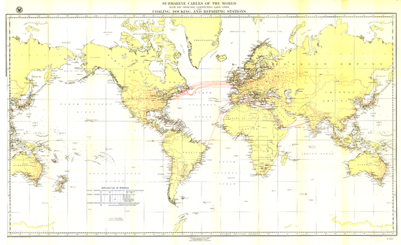
Submarine Cables of the World - Published 1896
National Geographic
Submarine cables have played an important part in the development of world-wide communications since the 1850's. This fascinating map, first develped for the Department of the Navy and published in National Geographic in 1896, shows submarine cables that had been laid, as well as the land-based cable systems that connected to them.
Page Size: 49 x 30 in (1245 x 761 mm)
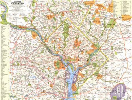
Suburban Washington - Published 1964
National Geographic
This map of suburban Washington, D.C. offers a detailed look at the national capital of the United States and its suburbs. Published in December 1964, this map and its companion "Tourist Washington" make up the two-piece set that accompanied the article "Washington: The City Freedom Built."
Page Size: 20 x 15.25 in (507 x 384 mm)
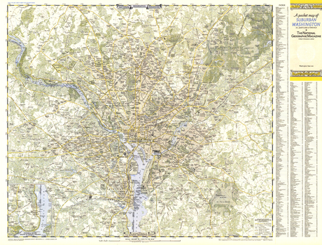
Suburban Washington DC, Maryland & Virginia - Published 1948
National Geographic
A Pocket Map of Suburban Washington, D.C., Maryland and Virginia is half of a two-map set published in September 1948 with the article "American Masters in the National Gallery." Detailed and indexed, this map also contains an inset of the Potomac River south to Mount Vernon. Its companion map, "A Pocket Map of Central Washington, District of Columbia," appeared in the same issue.
Page Size: 31.75 x 24.25 in (804 x 611 mm)
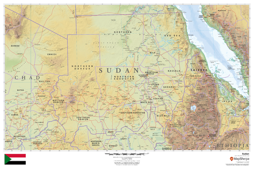
Sudan
MapSherpa
This beautiful map shows physical and political features for Sudan and surrounding areas. Relief shading and the use of different colours by height above sea level are both informative and attractive.
Page Size: 36 x 24 in (914 x 610 mm)
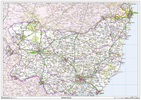
Suffolk County Map
XYZ Maps
This is a large ceremonial county map of Suffolk highlighting the county border, with the surrounding area faded out for excellent contrast. The map covers Aldeburgh, Bury St Edmunds, Felixstowe, Framlington, Gorleston, Haverhill, Long Melford, Lowestoft, Newmarket and Woodbridge. The county map shows the latest County and Unitary Authority Boundaries, Overlaid on a Clear and Easy to Read Ordnance Survey map.
Page Size: 47 x 33.25 in (1189 x 841 mm)
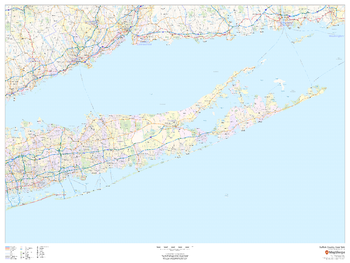
Suffolk County, New York
MapSherpa
This map of Suffolk County, New York shows regional level information. Base map features include highways and major roads with labelling; railways; high level land use such as parks and recreation areas; and a selection of points of interest including transportation hubs like airports and train stations, tourist information and police stations.
Page Size: 48 x 36 in (1219 x 914 mm)
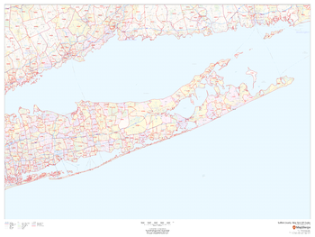
Suffolk County, New York ZIP Codes
MapSherpa
This map of Suffolk County, New York shows ZIP code areas overlaid on a road map. Ideal for planning of deliveries, home services, sales territories, real estate and much more. Base map features include all roads with major roads and highways labelled; neighborhood names; railways; and high level land use such as parks and recreation areas, industrial areas and hospital campuses.
Page Size: 48 x 36 in (1219 x 914 mm)
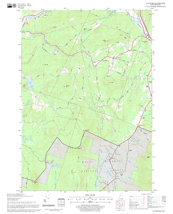
Sugar Hill Quadrangle, New Hampshire-Vermont
United States Forest Service
United States Forestry Service topographical map of Sugar Hill, New Hampshire-Vermont
Page Size: 21.75 x 27 in (552 x 686 mm)
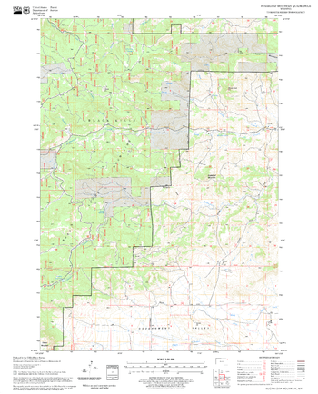
Sugarloaf Mountain Quadrangle, South Dakota
United States Forest Service
United States Department of Agriculture Forestry Service topographical map of Sugarloaf Mountain, Black Hills National Forest, South Dakota.
Page Size: 21.75 x 27 in (552 x 686 mm)
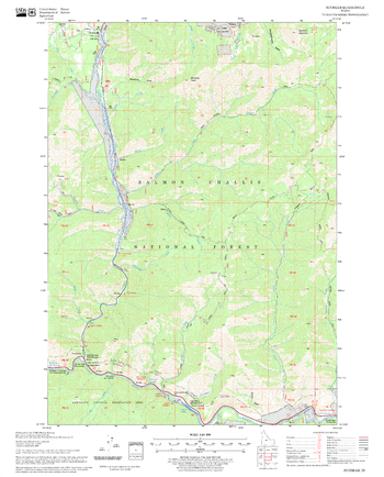
Sunbeam Quadrangle, Idaho
United States Forest Service
United States Department of Agriculture Forestry Service topographical map of Sunbeam, Salmon-Chalis National Forest, Idaho.
Page Size: 21.75 x 27 in (552 x 686 mm)
No search results