


MapSherpa Catalog
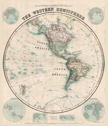
Stanford's Western Hemisphere Map (1877) - Resized to 2A0 width
Stanfords
Resized so that the short side is equivalent to 2A0 short side. The Stanford's Map of The Western Hemisphere is from a fascinating series of reproductions from our Edward Stanford Cartographic Collection archive. The original map from 1877 was drawn by Stanford's Geographical Establishment and "published under the direction of the Committee of General Literature and Education Appointed by The Society for Promoting Christian Knowledge and of the National Society". On this stereographic projection, individual countries are presented in gentle pastel hues typical of hand-coloured maps, with their borders outlined in stronger colours. The publication date of 1877 gives us the Americas more or less as we know it now but Antarctica with only a handful of coastal places named and believed to be flat. Hachures are used to show the mountain ranges and many other features of contemporary cartography are included: ocean currents and trade winds, surrounding frames showing the tropical zones and the position of the sun, etc. Latitude and longitude lines are drawn at 10° intervals. Additional panels on this map of the Western Hemisphere give examples of six different map projections, including Mercator's projection and the gores of a globe complete on the same scale at the equator.
Page Size: 47 x 55 in (1189 x 1397 mm)
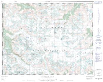
Stanley Smith Glacier - 92 J/13 - British Columbia
Natural Resources Canada
Canadian topographic map of Stanley Smith Glacier, British Columbia. NTS sheet 092J13 Edition 1.
Page Size: 31.75 x 25.5 in (805 x 644 mm)
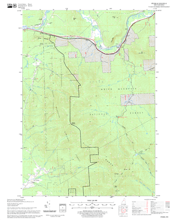
Stark Quadrangle, New Hampshire-Vermont
United States Forest Service
United States Department of Agriculture Forestry Service topographical map of Stark, White Mountains National Forest, New Hampshire-Vermont.
Page Size: 21.75 x 27 in (552 x 686 mm)
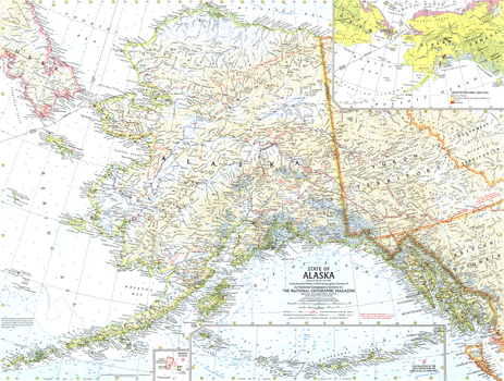
State of Alaska - Published 1959
National Geographic
This map showcases Alaska, the largest state in the United States and also larger in area than all but 18 of the world's nations. Published in July 1959, just six months after Alaska became the 49th state.
Page Size: 25 x 19 in (632 x 478 mm)
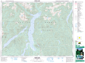
Stave Lake - 92 G/8 - British Columbia
Natural Resources Canada
Canadian topographic map of Stave Lake, British Columbia. NTS sheet 092G08 Edition 5.
Page Size: 34.5 x 26 in (876 x 659 mm)
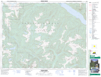
Stave River - 92 G/9 - British Columbia
Natural Resources Canada
Canadian topographic map of Stave River, British Columbia. NTS sheet 092G09 Edition 4.
Page Size: 34.5 x 26 in (873 x 660 mm)
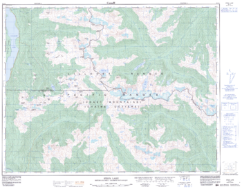
Stein Lake - 92 J/1 - British Columbia
Natural Resources Canada
Canadian topographic map of Stein Lake, British Columbia. NTS sheet 092J01 Edition 2.
Page Size: 32.5 x 25.5 in (822 x 643 mm)
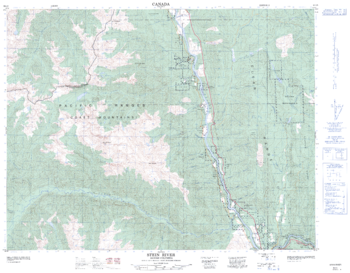
Stein River - 92 I/5 - British Columbia
Natural Resources Canada
Canadian topographic map of Stein River, British Columbia. NTS sheet 092I05 Edition 2.
Page Size: 32 x 25 in (809 x 631 mm)
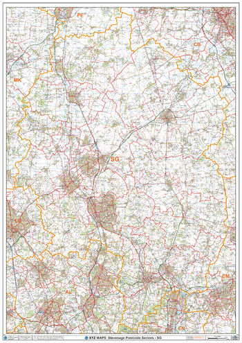
Stevenage - SG - Postcode Wall Map
XYZ Maps
The Stevenage Postcode Sector Wall Map shows detailed postcode sector boundaries (SG1 1, SG1 2) on a comprehensive background and is perfect for determining postcode boundaries for sales areas, planning mailshots and also an excellent reference for logistics. This wall map covers the whole of the SG Postcode Area.
Page Size: 33.25 x 47 in (841 x 1189 mm)
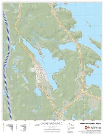
Stewart Lake, Muskoka, Ontario
MapSherpa
A cartographically beautiful map of Stewart Lake, Muskoka, Ontario ideal for showing off cottages, resorts, lakes and other favourite places.
Page Size: 17 x 22 in (432 x 559 mm)
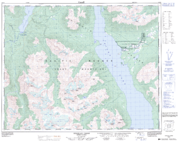
Stikelan Creek - 92 N/8 - British Columbia
Natural Resources Canada
Canadian topographic map of Stikelan Creek, British Columbia. NTS sheet 092N08 Edition 2.
Page Size: 32 x 25.5 in (809 x 643 mm)
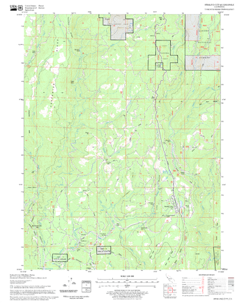
Stirling City Quadrangle, California
United States Forest Service
United States Department of Agriculture Forestry Service topographical map of Stirling City, Lassen National Forest, California.
Page Size: 21.75 x 27 in (552 x 686 mm)
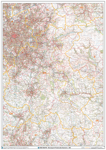
Stockport - SK - Postcode Wall Map
XYZ Maps
The Stockport Postcode Sector Wall Map shows detailed postcode sector boundaries (SK1 1, SK1 2) on a comprehensive background and is perfect for determining postcode boundaries for sales areas, planning mailshots and also an excellent reference for logistics. This wall map covers the whole of the SK Postcode Area.
Page Size: 33.25 x 47 in (841 x 1189 mm)
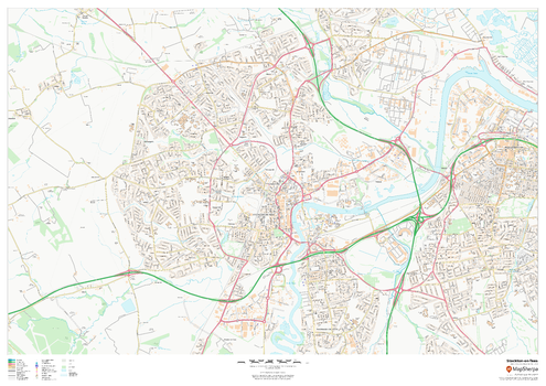
Stockton-on-Tees
MapSherpa
This map of Stockton-on-Tees shows detailed street level information including extensive street labelling. Ideal for planning of deliveries, home services, sales territories, real estate and much more.
Page Size: 47 x 33.25 in (1189 x 841 mm)
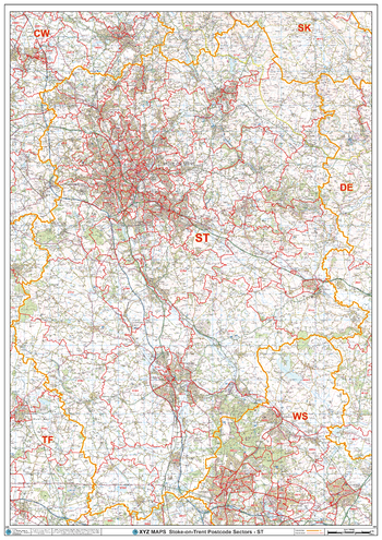
Stoke-on-Trent - ST - Postcode Wall Map
XYZ Maps
The Stoke-on-Trent Postcode Sector Wall Map shows detailed postcode sector boundaries (ST1 1, ST1 2) on a comprehensive background and is perfect for determining postcode boundaries for sales areas, planning mailshots and also an excellent reference for logistics. This wall map covers the whole of the ST Postcode Area.
Page Size: 33.25 x 47 in (841 x 1189 mm)
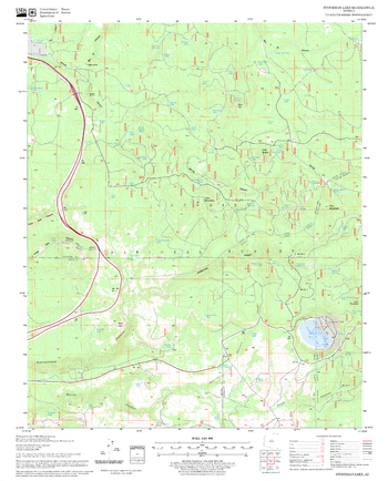
Stoneman Lake Quadrangle, Arizona
United States Forest Service
United States Department of Agriculture Forestry Service topographical map of Stoneman Lake, Coconino National Forest, Arizona.
Page Size: 21.75 x 27 in (552 x 686 mm)
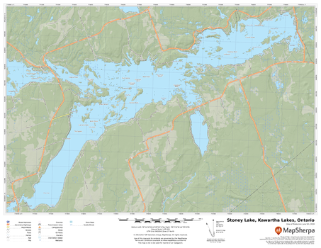
Stoney Lake, Kawartha Lakes, Ontario
MapSherpa
A cartographically beautiful map of Stoney Lake, Kawartha Lakes, Ontario ideal for showing off cottages, resorts, lakes and other favourite places.
Page Size: 22 x 17 in (559 x 432 mm)
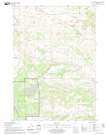
Stoney Point Quadrangle, South Dakota
United States Forest Service
United States Department of Agriculture Forestry Service topographical map of Stoney Point, Black Hills National Forest, South Dakota.
Page Size: 21.75 x 27 in (552 x 686 mm)
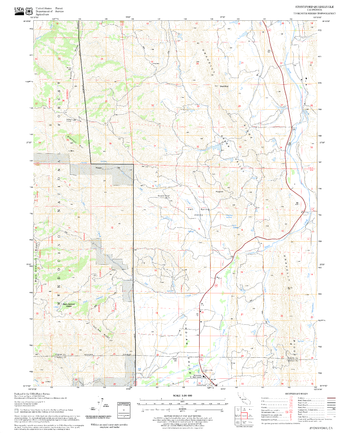
Stonyford Quadrangle, California
United States Forest Service
United States Department of Agriculture Forestry Service topographical map of Stonyford, Mendocino National Forest, California.
Page Size: 21.75 x 27 in (552 x 686 mm)
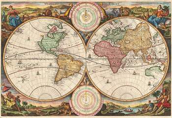
Stoopendaal Map of the World in two Hemispheres (1730)
Artokoloro
1730 hemisphere map of the World by Dutch illustrator and cartographer Daniel Stoopendaal for publication in the Keur Bible. Full title: Werelt Caert.
Page Size: 18 x 12.5 in (454 x 314 mm)
No search results