


MapSherpa Catalog
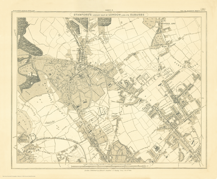
Stanford's Library Map of London Sheet 2 Black and White (1862)
Stanfords
The Stanford's Library Map of London (Sheet 2) is from a fascinating series of reproductions from our Edward Stanford Cartographic Collection archive.
Page Size: 15 x 18 in (375 x 454 mm)
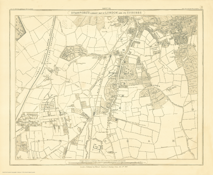
Stanford's Library Map of London Sheet 20 Black and White (1862)
Stanfords
The Stanford's Library Map of London (Sheet 20) is from a fascinating series of reproductions from our Edward Stanford Cartographic Collection archive.
Page Size: 14.75 x 17.75 in (370 x 450 mm)
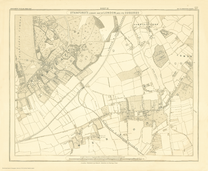
Stanford's Library Map of London Sheet 21 Black and White (1862)
Stanfords
The Stanford's Library Map of London (Sheet 21) is from a fascinating series of reproductions from our Edward Stanford Cartographic Collection archive.
Page Size: 14.75 x 17.75 in (370 x 450 mm)
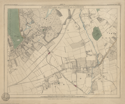
Stanford's Library Map of London Sheet 21 Colour (1862)
Stanfords
The Stanford's Library Map of London (Sheet 21) is from a fascinating series of reproductions from our Edward Stanford Cartographic Collection archive.
Page Size: 15 x 18 in (375 x 455 mm)
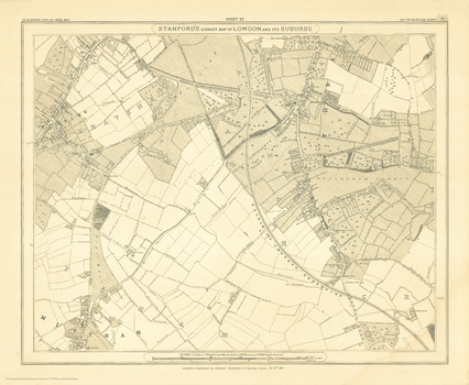
Stanford's Library Map of London Sheet 22 Black and White (1862)
Stanfords
The Stanford's Library Map of London (Sheet 22) is from a fascinating series of reproductions from our Edward Stanford Cartographic Collection archive.
Page Size: 14.75 x 17.75 in (370 x 450 mm)
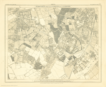
Stanford's Library Map of London Sheet 23 Black and White (1862)
Stanfords
The Stanford's Library Map of London (Sheet 23) is from a fascinating series of reproductions from our Edward Stanford Cartographic Collection archive.
Page Size: 14.75 x 17.75 in (370 x 450 mm)
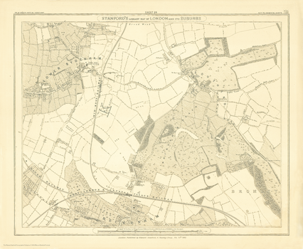
Stanford's Library Map of London Sheet 24 Black and White (1862)
Stanfords
The Stanford's Library Map of London (Sheet 24) is from a fascinating series of reproductions from our Edward Stanford Cartographic Collection archive.
Page Size: 14.75 x 17.75 in (370 x 450 mm)
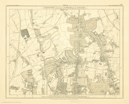
Stanford's Library Map of London Sheet 3 Black and White (1862)
Stanfords
The Stanford's Library Map of London (Sheet 3) is from a fascinating series of reproductions from our Edward Stanford Cartographic Collection archive.
Page Size: 14.75 x 18 in (370 x 455 mm)
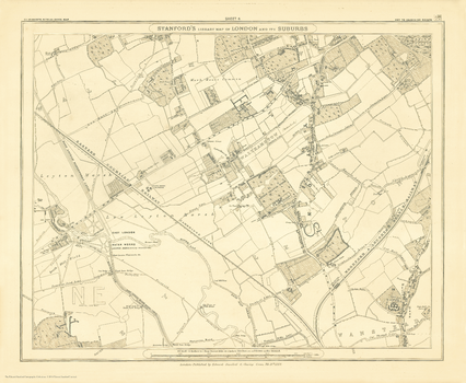
Stanford's Library Map of London Sheet 4 Black and White (1862)
Stanfords
The Stanford's Library Map of London (Sheet 4) is from a fascinating series of reproductions from our Edward Stanford Cartographic Collection archive.
Page Size: 14.75 x 17.75 in (370 x 450 mm)
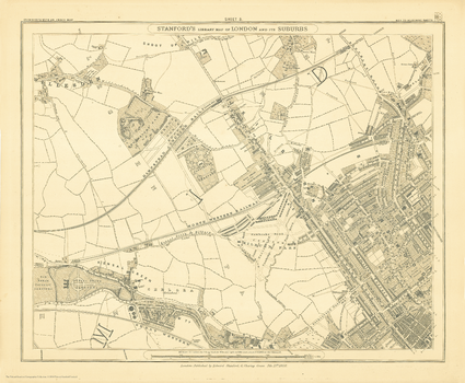
Stanford's Library Map of London Sheet 5 Black and White (1862)
Stanfords
The Stanford's Library Map of London (Sheet 5) is from a fascinating series of reproductions from our Edward Stanford Cartographic Collection archive.
Page Size: 14.75 x 17.75 in (370 x 450 mm)
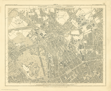
Stanford's Library Map of London Sheet 6 Black and White (1862)
Stanfords
The Stanford's Library Map of London (Sheet 6) is from a fascinating series of reproductions from our Edward Stanford Cartographic Collection archive.
Page Size: 14.75 x 17.75 in (370 x 450 mm)
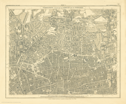
Stanford's Library Map of London Sheet 7 Black and White (1862)
Stanfords
The Stanford's Library Map of London (Sheet 7) is from a fascinating series of reproductions from our Edward Stanford Cartographic Collection archive.
Page Size: 14.75 x 17.75 in (370 x 450 mm)
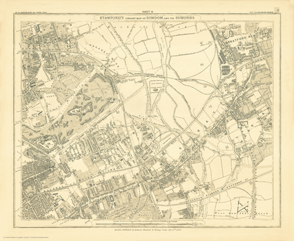
Stanford's Library Map of London Sheet 8 Black and White (1862)
Stanfords
The Stanford's Library Map of London (Sheet 8) is from a fascinating series of reproductions from our Edward Stanford Cartographic Collection archive.
Page Size: 14.75 x 17.75 in (370 x 450 mm)
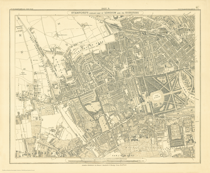
Stanford's Library Map of London Sheet 9 Black and White (1862)
Stanfords
The Stanford's Library Map of London (Sheet 9) is from a fascinating series of reproductions from our Edward Stanford Cartographic Collection archive.
Page Size: 14.75 x 17.75 in (370 x 450 mm)
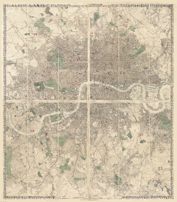
Stanford's Library Map of London and its Suburbs (1878)
Stanfords
The Stanford's Library Map of London and its Suburbs is from a fascinating series of reproductions from our Edward Stanford Cartographic Collection archive.
Page Size: 68 x 77.75 in (1725 x 1970 mm)
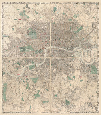
Stanford's Library Map of London and its Suburbs (1878) - Resized to 2A0 width
Stanfords
Resized so that the short side is equivalent to 2A0 short side. The Stanford's Library Map of London and its Suburbs is from a fascinating series of reproductions from our Edward Stanford Cartographic Collection archive.
Page Size: 47 x 53.5 in (1189 x 1358 mm)
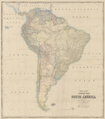
Stanford's Library Map of South America (1864)
Stanfords
The Stanford's Map of South America is from a fascinating series of reproductions from our Edward Stanford Cartographic Collection archive. This reproduction of a map published in 1879 by the founder of our company, Edward Stanford. It was constructed in 1864 by Alexander Keith Johnston who was a geographer in Edinburgh for the Queen. The continent is shown already in its port-colonial stage but with many international borders not yet fixed and different from today's. An interesting feature of the map is the presentation of several disputed regions, between Bolivia and Paraguay, Peru and Ecuador, or Brazil and the "Granadian Confederation" (present day Colombia). When this map was made, Guyana was British Guiana and Suriname was Dutch Guiana. Central America is also shown in slightly less detail up to the Southern part of Guatemala and some of the Caribbean islands are included up to the southern tip of Dominica. Topography is indicated by hachures and many tributaries of the Amazon, the Orinoco and the Parana are named. Latitude and longitude lines are drawn at 5° intervals. This reproduction has been taken from an original cartographic scale of 1:5,275,000 on a 31x28" map that was made out of four sheets.
Page Size: 40 x 45.25 in (1015 x 1146 mm)
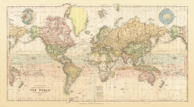
Stanford's Library Map of the World (1879)
Stanfords
This reproduction of a beautiful wall map of the world published by Edward Stanford in 1879 shows the zones of trade winds which for centuries determined the routes taken across the oceans by ships like the Cutty Sark and other clippers. Presented in lovely pastel colours, the map offers a great deal of interesting information both on land and sea. Across the oceans in addition to the zones of trade winds it also shows the regions of calms and monsoons, the direction of currents, principal "Ocean Mail" routes annotated with distances, and submarine telegraph cables. On land countries are shown in different colours, with their borders emphasized by stronger tints. Given the date of the map's publication, much of Africa is still not colonized and Europe too is very different from today. In terms of typography, main mountain ranges are shown by hachures and the map has a surprisingly large number of place names. Eastern Siberia with Alaska and New Zealand with most of the South Pacific are shown on both sides of the map for more convenient presentation of that part of the world. Two insets show the Polar region, with much of the coast of the Antarctic still to be properly mapped. Latitude and longitude lines are at 10° intervals; the map is drawn on a Mercator projection. Additional features include time difference from the Greenwich Meridian and a calendar showing the progress of the sun within the Tropics.
Page Size: 38.5 x 69.5 in (976 x 1762 mm)
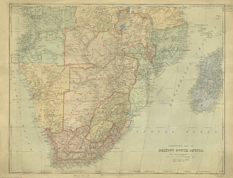
Stanford's Map of British South Africa (1894)
Stanfords
The Stanford's Map of British South Africa is from a fascinating series of reproductions from our Edward Stanford Cartographic Collection archive.
Page Size: 22.25 x 29 in (562 x 734 mm)
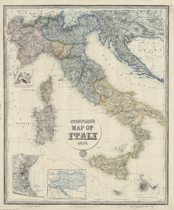
Stanford's Map of Italy (1859)
Stanfords
The Stanford's Map of Italy is from a fascinating series of reproductions from our Edward Stanford Cartographic Collection archive. This is a reproduction of a map originally published on 2nd May 1859 by Edward Stanford, the founder of our company. The map catches the country in an interesting stage of its history, just before the unification, and still shows the individual states: the Kingdom of Piedmont - Sardinia, the Grand Duchy of Tuscany, the Kingdom of the Two Sicilies, the Papal States, etc, all in different colours. Hachures are used to show the spine of the Apennines and other mountainous regions. Interesting insets show enlargements of the environs of Venice, Genoa and Naples with Vesuvius, and another panel presents the whole of the Austro-Hungarian Empire which then still included Lombardy and north-eastern Italy. This reproduction was taken from what used to be called a "cloth-dissected" map, made when the map itself was cut into sections and each section then individually pasted onto an overall cloth backing for the whole map. In this version the whole map is backed onto cloth in one piece but the gaps between the sections have been reproduced in the printing to preserve the style and the feeling of the original. This lovely map will appeal to anyone interested in this great country.
Page Size: 26.25 x 31.5 in (662 x 796 mm)
No search results