


MapSherpa Catalog
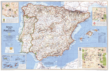
Spain and Portugal - Published 1998
National Geographic
Once-mighty empires at the center of the golden age of discovery, Spain and Portugal welcome millions of visitors each year who come to take in the majesty of their gothic cathedrals, or relax on their miles and miles of beaches. Published in December 1998 as half of a two–map set with "A Traveler's Map of Spain and Portugal."
Page Size: 31.25 x 20.25 in (789 x 514 mm)
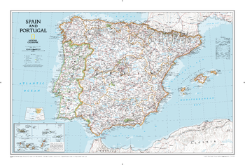
Spain and Portugal Classic
National Geographic
The signature Classic style wall map of Spain and Portugal features a bright color palette with blue oceans and the country's terrain detailed in stunning shaded relief that has been a hallmark of National Geographic wall maps for over 75 years. The map includes thousands of place names, accurate boundaries, national parks, and major infrastructure networks such as roads, highways, airports, ferry routes, and railroads. Coastal bathymetry is shown with depth curves and soundings. Spain's Balearic Islands in the Mediterranean are included. Inset maps provide detail of the Madeira Islands, Azores, and Canary Islands, as well as their location in relation to Spain and Portugal.
Page Size: 33 x 22 in (838 x 559 mm)
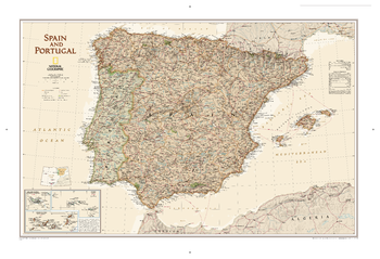
Spain and Portugal Executive
National Geographic
This elegant, richly colored antique-style map features the incredible cartographic detail that is the trademark of National Geographic quality. This map of Spain and Portugal shows political boundaries, place names, airports, major roads and highways, and other geographic features for the entire country.
Page Size: 33 x 22 in (838 x 559 mm)
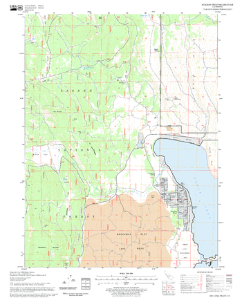
Spalding Tract Quadrangle, California
United States Forest Service
United States Department of Agriculture Forestry Service topographical map of Spalding Tract, Lassen National Forest, California.
Page Size: 21.75 x 27 in (552 x 686 mm)
Spearfish Quadrangle, South Dakota
United States Forest Service
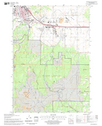
United States Department of Agriculture Forestry Service topographical map of Spearfish, Black Hills National Forest, South Dakota.
Page Size: 21.75 x 27 in (552 x 686 mm)
Special Places of the World, Holy Land - Published 1989
National Geographic
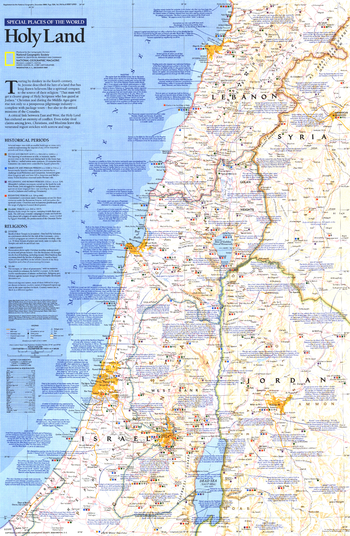
This map of the Holy Land features beautiful cartography combined with copious historic, religious, and geographic facts about this land of faith and conflict. Printed in December 1989 as part of the "Special Places of the World" series.
Page Size: 20.5 x 31 in (514 x 787 mm)
Special Places of the World, Holy Land Theme - Published 1989
National Geographic
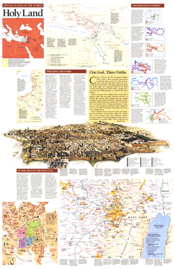
Half of a two-page layout on the Holy Land, this educational supplement teems with details of the history of the land held sacred by Jews, Christians, and Muslims. An extraordinary illustration of Jerusalem notes important sites and the Crossroads of Empires inset reveals the history of the region's occupation. Printed in December 1989, this work stands alone or perfectly compliments the map of the Holy Land that appeared in the same issue.
Page Size: 20.25 x 31 in (514 x 787 mm)
Speckled Mountain Quadrangle, New Hampshire-Vermont
United States Forest Service
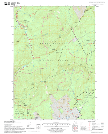
United States Forestry Service topographical map of Speckled Mountain, New Hampshire-Vermont
Page Size: 21.75 x 27 in (552 x 686 mm)
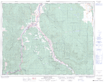
Spences Bridge - 92 I/6 - British Columbia
Natural Resources Canada
Canadian topographic map of Spences Bridge, British Columbia. NTS sheet 092I06 Edition 3.
Page Size: 32.25 x 25.5 in (818 x 642 mm)
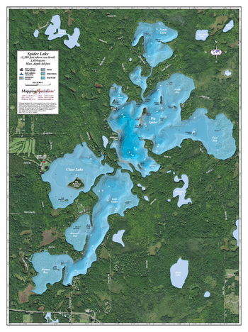
Spider Lake
Mapping Specialists
An Attractive map of the lake showing a visual 3D representation of the lake bottom. Includes boat launches, rock area and vegetation. Land area is high resolution aerial imagery.
Page Size: 27.75 x 37.25 in (705 x 943 mm)
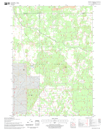
Spring Butte Quadrangle, Oregon
United States Forest Service
United States Department of Agriculture Forestry Service topographical map of Spring Butte, Deschutes National Forest, Oregon.
Page Size: 21.75 x 27 in (552 x 686 mm)
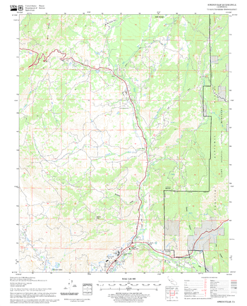
Springville Quadrangle, California
United States Forest Service
United States Department of Agriculture Forestry Service topographical map of Springville, Sequoia National Forest, California.
Page Size: 21.75 x 27 in (552 x 686 mm)
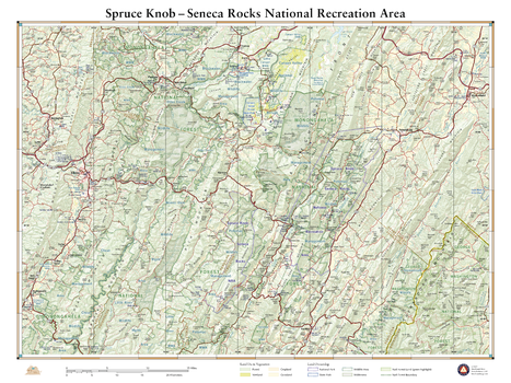
Spruce Knob Seneca Rocks National Recreation Area
Benchmark Maps
This wall map illustrates some of West Virginia’s best public lands and recreation sites. Spruce Knob is the state’s highest point at 4,863 ft., and Seneca Rocks features some of the best rock climbing in the eastern U.S. This map also highlights recreation access in the surrounding Monongahela National Forest, several wildlife management areas, and nearby state parks.
Page Size: 26 x 34.75 in (660 x 881 mm)
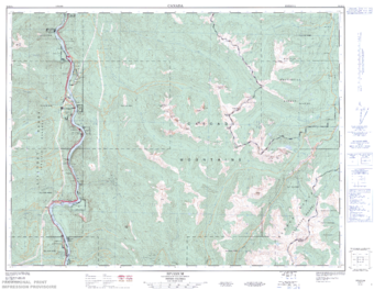
Spuzzum - 92 H/11 - British Columbia
Natural Resources Canada
Canadian topographic map of Spuzzum, British Columbia. NTS sheet 092H11 Edition 2.
Page Size: 33.5 x 25.25 in (849 x 640 mm)
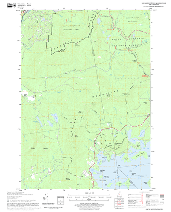
Squam Mountains Quadrangle, New Hampshire-Vermont
United States Forest Service
United States Forestry Service topographical map of Squam Mountains, New Hampshire-Vermont
Page Size: 21.75 x 27 in (552 x 686 mm)
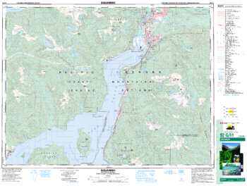
Squamish - 92 G/11 - British Columbia
Natural Resources Canada
Canadian topographic map of Squamish, British Columbia. NTS sheet 092G11 Edition 3.
Page Size: 34.5 x 26 in (872 x 659 mm)
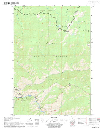
Square Top Quadrangle, Idaho
United States Forest Service
United States Department of Agriculture Forestry Service topographical map of Square Top, Salmon-Chalis National Forest, Idaho.
Page Size: 21.75 x 27 in (552 x 686 mm)
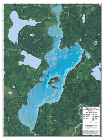
Squirrel Lake
Mapping Specialists
An Attractive map of the lake showing a visual 3D representation of the lake bottom. Includes boat launches, rock area and vegetation. Land area is high resolution aerial imagery.
Page Size: 27.75 x 37.25 in (705 x 943 mm)
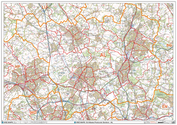
St Albans - AL - Postcode Wall Map
XYZ Maps
The St Albans Postcode Sector Wall Map shows detailed postcode sector boundaries (AL1 1, AL1 2) on a comprehensive background and is perfect for determining postcode boundaries for sales areas, planning mailshots and also an excellent reference for logistics. This wall map covers the whole of the AL Postcode Area.
Page Size: 47 x 33.25 in (1189 x 841 mm)
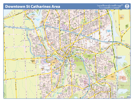
St Catharines Downtown - Compact
Lucidmap
Map of downtown St Catharines showing all roads, road names, political boundaries, transit, points of interest, parks, schools, churches, public buildings and landmarks.
Page Size: 21.5 x 16.25 in (546 x 413 mm)
No search results