


MapSherpa Catalog
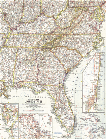
Southeastern United States - Published 1958
National Geographic
This map of the Southeastern United States includes subtle mountain relief accenting the Appalachians and Allegheny Mountains. Insets of the Tampa Bay, West Palm Beach and Miami regions add particular detail. Published in January 1958 with three articles on Florida, it is part of a series of six sectional maps of the United States published between 1958 and 1961.
Page Size: 19 x 25 in (481 x 631 mm)
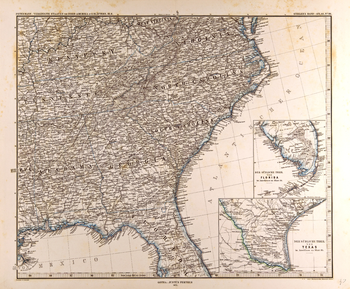
Southeastern United States Map in German (1872)
Artokoloro
Map of the southeastern United States in German from the Gotha Justus Perthes 1872 Atlas. Full title: Petermann: Vereinigte Staaten von Nord-Amerika in 6 Blättern, Bl. 6.
Page Size: 25 x 20.75 in (635 x 524 mm)
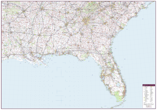
Southeastern United States Wall Map
Mapping Specialists
An attractive map of the Southeastern United States showing roads, towns and points of interest.
Page Size: 60 x 42 in (1524 x 1067 mm)
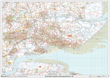
Southend on Sea - SS - Postcode Wall Map
XYZ Maps
The Southend on Sea Postcode Sector Wall Map shows detailed postcode sector boundaries (SS1 1, SS1 2) on a comprehensive background and is perfect for determining postcode boundaries for sales areas, planning mailshots and also an excellent reference for logistics. This wall map covers the whole of the SS Postcode Area.
Page Size: 47 x 33.25 in (1189 x 841 mm)
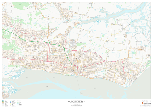
Southend-on-Sea
MapSherpa
This map of Southend-on-Sea shows detailed street level information including extensive street labelling. Ideal for planning of deliveries, home services, sales territories, real estate and much more.
Page Size: 47 x 33.25 in (1189 x 841 mm)
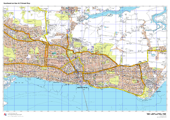
Southend-on-Sea A-Z Street Map
A-Z Maps
This up-to-date A-Z street map covers Southend-on-Sea, including the town centre together with the surrounding districts of Chalkwell, Eastwood, Leigh-on-Sea, Shoeburyness, Westcliff-on-Sea and Southchurch.
Page Size: 33.25 x 23.5 in (841 x 594 mm)
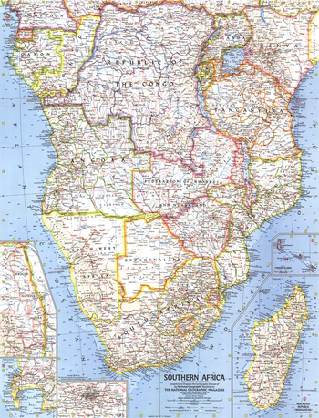
Southern Africa - Published 1962
National Geographic
When this map of the southern African continent was created, South Africa had just become a republic. Nelson Mandela was imprisoned only months earlier, and the struggle against apartheid had begun. Published in November 1962 with three articles including "South Africa Close-up."
Page Size: 19 x 25 in (481 x 631 mm)
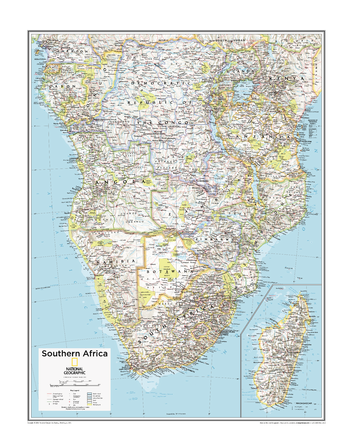
Southern Africa - Atlas of the World, 10th Edition
National Geographic
Angola, Botswana, Cabinda (Angola), Congo, Democratic Republic of the Congo, Equatorial Guinea, Gabon, Madagascar, Malawi, Mozambique, Namibia, Tanzania, Zambia, Zimbabwe
Page Size: 22 x 28 in (559 x 711 mm)
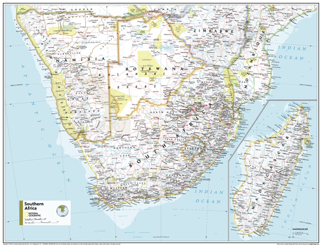
Southern Africa - Atlas of the World, 11th Edition
National Geographic
This Southern Africa map of physical and political features can fit in any space. Showcasing the region in stunning detail with state-of-the-art cartographic techniques delivering accuracy and exceptional quality, the innovative and engaging design makes the content easily accessible and user-friendly.
Ideal for classrooms with an emphasis on teaching geography or environmental themes. The inclusion of physical features gives your students a genuine feel for how our world appears.
This map uses a bright, easy to read color palette featuring blue oceans and stunning shaded relief that has been featured on National Geographic wall maps for over 75 years. It is drawn in the Transverse Mercator projection, which is a cylindrical map projection for nautical navigation because it represents lines of constant course.
This map is found in National Geographic's 11th Edition World Atlas and is now available as a stand alone product.
Page Size: 31.5 x 24 in (798 x 610 mm)
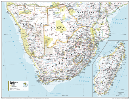
Southern Africa - Atlas of the World, 11th Edition - Compact
National Geographic
This Southern Africa map of physical and political features can fit in any space. Showcasing the region in stunning detail with state-of-the-art cartographic techniques delivering accuracy and exceptional quality, the innovative and engaging design makes the content easily accessible and user-friendly.
Ideal for classrooms with an emphasis on teaching geography or environmental themes. The inclusion of physical features gives your students a genuine feel for how our world appears.
This map uses a bright, easy to read color palette featuring blue oceans and stunning shaded relief that has been featured on National Geographic wall maps for over 75 years. It is drawn in the Transverse Mercator projection, which is a cylindrical map projection for nautical navigation because it represents lines of constant course.
This map is found in National Geographic's 11th Edition World Atlas and is now available as a stand alone product.
Page Size: 21.5 x 16.25 in (540 x 413 mm)
Southern Alberta and Saskatchewan
Lucidmap
Create custom regional maps in Canada from this series of attractive detailed road maps covering most of the populated areas across Canada. Maps are developed from Lucidmap’s iconic Canadian cartography. Coverage area starts at the Canada-USA border in the south, and ranges north to Lac La Biche. East-west coverage spans from North Battleford, SK to Red Deer, AB. Native scale is 1:500,000.
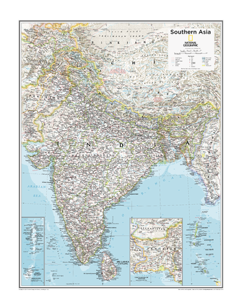
Southern Asia - Atlas of the World, 10th Edition
National Geographic
Bangladesh, Bhutan, India, Maldives, Nepal, Sri Lanka
Page Size: 22 x 28 in (559 x 711 mm)
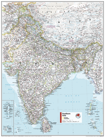
Southern Asia - Atlas of the World, 11th Edition
National Geographic
This Southeast Asia map of physical and political features can fit in any space. Showcasing the region in stunning detail with state-of-the-art cartographic techniques delivering accuracy and exceptional quality, the innovative and engaging design makes the content easily accessible and user-friendly.
Ideal for classrooms with an emphasis on teaching geography or environmental themes. The inclusion of physical features gives your students a genuine feel for how our world appears.
This map uses a bright, easy to read color palette featuring blue oceans and stunning shaded relief that has been featured on National Geographic wall maps for over 75 years. It is drawn in the Transverse Mercator projection, which is a cylindrical map projection for nautical navigation because it represents lines of constant course, ideal for regions near the equator. Insets of the Maldives and continuation of Pakistan are added for further detail.
This map is found in National Geographic's 11th Edition World Atlas and is now available as a stand alone product.
Page Size: 24 x 31.5 in (610 x 798 mm)
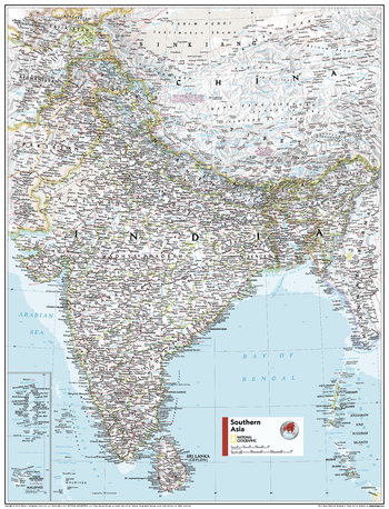
Southern Asia - Atlas of the World, 11th Edition - Compact
National Geographic
This Southeast Asia map of physical and political features can fit in any space. Showcasing the region in stunning detail with state-of-the-art cartographic techniques delivering accuracy and exceptional quality, the innovative and engaging design makes the content easily accessible and user-friendly.
Ideal for classrooms with an emphasis on teaching geography or environmental themes. The inclusion of physical features gives your students a genuine feel for how our world appears.
This map uses a bright, easy to read color palette featuring blue oceans and stunning shaded relief that has been featured on National Geographic wall maps for over 75 years. It is drawn in the Transverse Mercator projection, which is a cylindrical map projection for nautical navigation because it represents lines of constant course, ideal for regions near the equator. Insets of the Maldives and continuation of Pakistan are added for further detail.
This map is found in National Geographic's 11th Edition World Atlas and is now available as a stand alone product.
Page Size: 16.25 x 21.5 in (413 x 540 mm)
Southern British Columbia
Lucidmap
Create custom regional maps in Canada from this series of attractive detailed road maps covering most of the populated areas across Canada. Maps are developed from Lucidmap’s iconic Canadian cartography. Coverage includes all of Vancouver Island, and up the mainland coast from Vancouver to Queen Charlotte Sound. Communities along the eastern map limit include Kamloops and Clearwater. The northern limit of the map contains areas north of Prince George, including Bear Lake. Coverage follows the Yellowhead highway west from Pringe George to Vanderhoof, Fraser Lake and Savory. Native scale is 1:500,000.
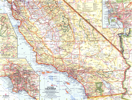
Southern California - Published 1966
National Geographic
This Southern California map contains insets of the General Grant Grove, Giant Forest of Sequoia National Forest, and cities of Los Angeles and San Diego. Published in May 1966 as half of a two-map set with a map of Northern California.
Page Size: 20 x 15.25 in (506 x 383 mm)
Southern Manitoba
Lucidmap
Create custom regional maps in Canada from this series of attractive detailed road maps covering most of the populated areas across Canada. Maps are developed from Lucidmap’s iconic Canadian cartography. Coverage in the south begins at the Canada-USA border and extends north to Paint Lake Provincial Park. The western boundary of the map includes areas slightly west of the Manitoba-Saskatchewan border. The eastern limit of the map includes Brightstone Sand Hills Provincial Forest, Norway House and Cross Lake. Native scale is 1:500,000.
Southern Ontario - Durham
Lucidmap
Create custom street maps in Montreal centred on your business, home or other key point of interest. Maps are developed from Lucidmap’s iconic Canadian street mapping cartography. Coverage includes areas of Durham Regional Municipality between highways 407 and 401 including the cities of Pickering and Oshawa, the towns of Ajax and Whitby, and the Municipality of Carlington. Native scale is 1:25,000.
Southern Ontario - Halton
Lucidmap
Create custom street maps in Montreal centred on your business, home or other key point of interest. Maps are developed from Lucidmap’s iconic Canadian street mapping cartography. Coverage is of the Halton Regional Municipality including the City of Burlington, and the towns of Oakville and Halton Hills. Native scale is 1:25,000.
Southern Ontario - Hamilton
Lucidmap
Create custom street maps in Montreal centred on your business, home or other key point of interest. Maps are developed from Lucidmap’s iconic Canadian street mapping cartography. Coverage includes most of the City of Hamilton. The northern limits of the coverage area include Freelton, Carlisle, Waterdown, Burlington Beach, down along Lake Ontario to the Town of Lincoln. The southern limit extends down from Hamilton Harbour and includes Greensville, Sandhill, Mount Hope, Caledonia and Binbrook. Native scale is 1:25,000.
No search results