


MapSherpa Catalog

South Downs National Park Map - East
Collins
With clear mapping and a high level of detail, explore the South Downs National Park easily with maps from Collins. This map identifies key park, tourist, and travel information, presented alongside a selection of photographs, making it an ideal companion for those exploring this beautiful area of South East England.
Page Size: 25 x 22.25 in (630 x 560 mm)
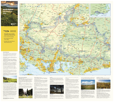
South Downs National Park Map - West
Collins
With clear mapping and a high level of detail, explore the South Downs National Park easily with maps from Collins. This map identifies key park, tourist, and travel information, presented alongside a selection of photographs, making it an ideal companion for those exploring this beautiful area of South East England.
Page Size: 25 x 22.25 in (630 x 560 mm)
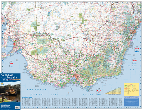
South East Australia Wall Map - 2nd Edition
Meridian Maps
This wall map of South East Australia coves the most populous corner of Australia. From Port Augusta in South Australia in the west, to Newcastle in New South Wales in the north, and all of Victoria in the south, this map is both large in size and breadth of area it covers. Designed to meet the needs of the business and travelling public who commute between the state capitals on a regular basis, the map provides excellent detail of the whole region, Includes, lists of towns, Distance Grid and Road Distance/Time Travel Guide.
Page Size: 38.75 x 29.75 in (980 x 750 mm)
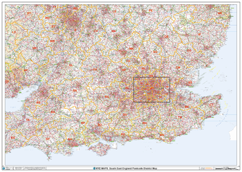
South East England Postcode District Wall Map (D2)
XYZ Maps
This South East England Postcode District Map clearly shows postcode district boundaries and associated district labels (SL1, SL2) on a comprehensive background and is perfect for determining postcode boundaries for sales territories, logistics, planning mailshots or as a regional reference guide.
Page Size: 47 x 33.25 in (1189 x 841 mm)
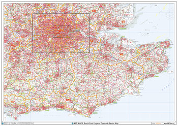
South East England Postcode Sector Wall Map (S4)
XYZ Maps
The South East England Postcode Sector Wall Map shows detailed postcode sector boundaries along with its associated label (BN1 1, BN1 2) on a comprehensive background and is perfect for determining postcode boundaries, for sales, logistics, planning mailshots or as a regional reference guide.
Page Size: 47 x 33.25 in (1189 x 841 mm)
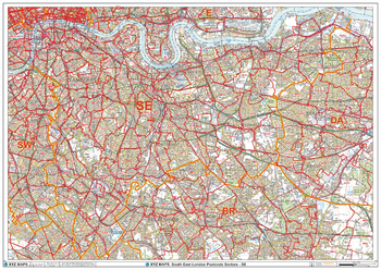
South East London - SE - Postcode Wall Map
XYZ Maps
The South East London Postcode Sector Wall Map shows detailed postcode sector boundaries (SE1 1, SE1 2) on a comprehensive background and is perfect for determining postcode boundaries for sales areas, planning mailshots and also an excellent reference for logistics. This wall map covers the whole of the SE Postcode Area.
Page Size: 47 x 33.25 in (1189 x 841 mm)

South East Queensland Wall Map
Hema Maps
A regional map of South East Queensland that stretches from the New South Wales-Queensland border to past Bundaberg, featuring additional maps for Brisbane and the Gold Coast.
Page Size: 39.25 x 55.75 in (996 x 1416 mm)
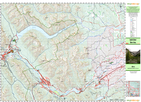
South Ghost Area
GoTrekkers
South Ghost Area
Page Size: 41.5 x 30 in (1054 x 762 mm)
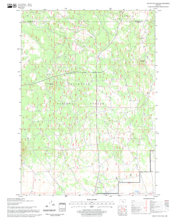
South Ice Cave Quadrangle, Oregon
United States Forest Service
United States Department of Agriculture Forestry Service topographical map of South Ice Cave, Deschutes National Forest, Oregon.
Page Size: 21.75 x 27 in (552 x 686 mm)
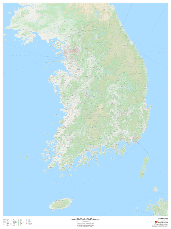
South Korea
MapSherpa
This map provides an overview of South Korea, highlighting key cities and towns, road network and waterways, with a backdrop of the geographic relief and land use of the country.
Page Size: 36 x 48 in (914 x 1219 mm)
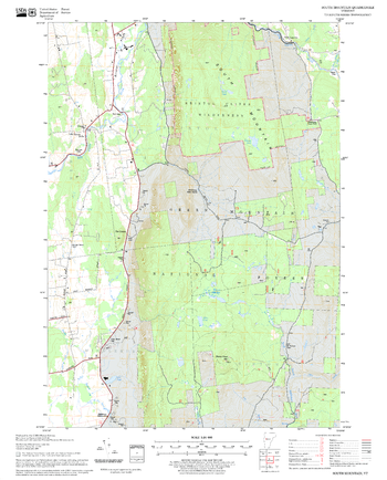
South Mountain Quadrangle, New Hampshire-Vermont
United States Forest Service
United States Forestry Service topographical map of South Mountain, New Hampshire-Vermont
Page Size: 21.75 x 27 in (552 x 686 mm)
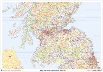
South Scotland Postcode District Wall Map (D5)
XYZ Maps
The South Scotland Postcode District Map clearly shows postcode district boundaries and associated district labels (EH1, EH2) on a comprehensive background and is perfect for determining postcode boundaries for sales territories, logistics, planning mailshots or as a regional reference guide.
Page Size: 47 x 33.25 in (1189 x 841 mm)
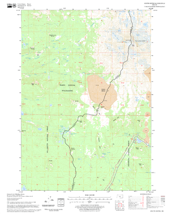
South Sister Quadrangle, Oregon
United States Forest Service
United States Department of Agriculture Forestry Service topographical map of South Sister, Deschutes National Forest, Oregon.
Page Size: 21.75 x 27 in (552 x 686 mm)
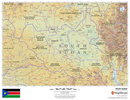
South Sudan
MapSherpa
This beautiful map shows physical and political features for South Sudan and surrounding areas. Relief shading and the use of different colours by height above sea level are both informative and attractive.
Page Size: 22 x 17 in (559 x 432 mm)
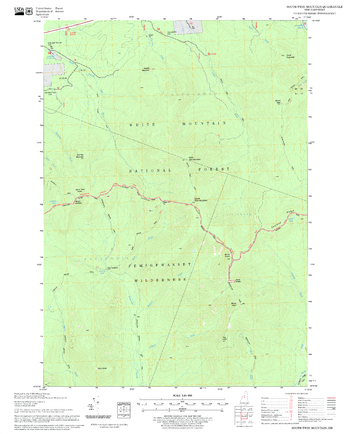
South Twin Mountain Quadrangle, New Hampshire-Vermont
United States Forest Service
United States Forestry Service topographical map of South Twin Mountain, New Hampshire-Vermont
Page Size: 21.75 x 27 in (552 x 686 mm)
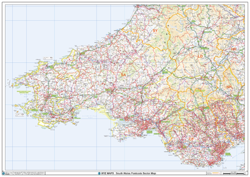
South Wales Postcode Sector Wall Map (S5)
XYZ Maps
The South Wales Postcode Sector Wall Map shows detailed postcode sector boundaries along with its associated label (CF1 1, CF1 2) on a comprehensive background and is perfect for determining postcode boundaries, for sales, logistics, planning mailshots or as a regional reference guide.
Page Size: 47 x 33.25 in (1189 x 841 mm)
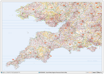
South West England Postcode District Wall Map (D1)
XYZ Maps
This South West England Postcode District Map clearly shows postcode district boundaries and associated district labels (LS1, LS2) on a comprehensive background and is perfect for determining postcode boundaries for sales territories, logistics, planning mailshots or as a regional reference guide.
Page Size: 47 x 33.25 in (1189 x 841 mm)
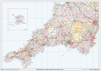
South West England Postcode Sector Wall Map (S1)
XYZ Maps
The South West England Postcode Sector Wall Map shows detailed postcode sector boundaries along with its associated label (TR1 1, TR1 2) on a comprehensive background and is perfect for determining postcode boundaries, for sales, logistics, planning mailshots or as a regional reference guide.
Page Size: 47 x 33.25 in (1189 x 841 mm)
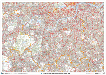
South West London - SW - Postcode Wall Map
XYZ Maps
The South West London Postcode Sector Wall Map shows detailed postcode sector boundaries (SW1 1, SW1 2) on a comprehensive background and is perfect for determining postcode boundaries for sales areas, planning mailshots and also an excellent reference for logistics. This wall map covers the whole of the SW Postcode Area.
Page Size: 47 x 33.25 in (1189 x 841 mm)
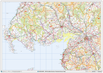
South West Scottish Borders Postcode Sector Wall Map (S15)
XYZ Maps
The South West Scottish Borders Postcode Sector Wall Map shows detailed postcode sector boundaries along with its associated label (DG1 1, DG1 2) on a comprehensive background and is perfect for determining postcode boundaries, for sales, logistics, planning mailshots or as a regional reference guide.
Page Size: 47 x 33.25 in (1189 x 841 mm)
No search results