


MapSherpa Catalog
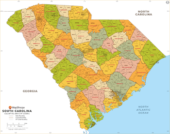
South Carolina ZIP Code Map with Counties - Large
MapSherpa
This map has been created exclusively for MapSherpa, and designed for business or reference use. Clear and clean colors & fonts matched with cartographic research makes this South Carolina Zip Code Map with Counties easily readable and useful. The map shows the 46 counties of South Carolina and the borders of the 421 zip codes across the Palmetto State.
Page Size: 48 x 38 in (1219 x 963 mm)
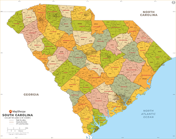
South Carolina ZIP Code Map with Counties - Standard
MapSherpa
This map has been created exclusively for MapSherpa, and designed for business or reference use. Clear and clean colors & fonts matched with cartographic research makes this South Carolina Zip Code Map with Counties easily readable and useful. The map shows the 46 counties of South Carolina and the borders of the 421 zip codes across the Palmetto State.
Page Size: 36 x 28.5 in (914 x 722 mm)
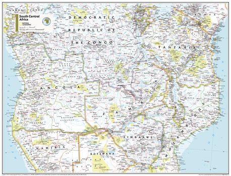
South Central Africa - Atlas of the World, 11th Edition
National Geographic
This South Central Africa map of physical and political features can fit in any space. Showcasing the region in stunning detail with state-of-the-art cartographic techniques delivering accuracy and exceptional quality, the innovative and engaging design makes the content easily accessible and user-friendly.
Ideal for classrooms with an emphasis on teaching geography or environmental themes. The inclusion of physical features gives your students a genuine feel for how our world appears.
This map uses a bright, easy to read color palette featuring blue oceans and stunning shaded relief that has been featured on National Geographic wall maps for over 75 years. It is drawn in the Transverse Mercator projection, which is a cylindrical map projection for nautical navigation because it represents lines of constant course.
This map is found in National Geographic's 11th Edition World Atlas and is now available as a stand alone product.
Page Size: 31.5 x 24 in (798 x 610 mm)
South Central Africa - Atlas of the World, 11th Edition - Compact
National Geographic
This South Central Africa map of physical and political features can fit in any space. Showcasing the region in stunning detail with state-of-the-art cartographic techniques delivering accuracy and exceptional quality, the innovative and engaging design makes the content easily accessible and user-friendly.
Ideal for classrooms with an emphasis on teaching geography or environmental themes. The inclusion of physical features gives your students a genuine feel for how our world appears.
This map uses a bright, easy to read color palette featuring blue oceans and stunning shaded relief that has been featured on National Geographic wall maps for over 75 years. It is drawn in the Transverse Mercator projection, which is a cylindrical map projection for nautical navigation because it represents lines of constant course.
This map is found in National Geographic's 11th Edition World Atlas and is now available as a stand alone product.
Page Size: 21.5 x 16.25 in (540 x 413 mm)
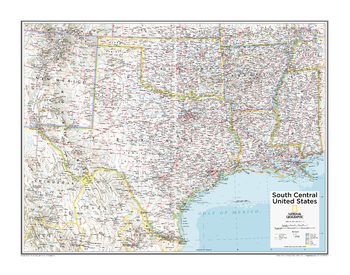
South Central U.S. - Atlas of the World, 10th Edition
National Geographic
Arkansas, Louisiana, Oklahoma, Texas
Page Size: 28 x 22 in (711 x 559 mm)
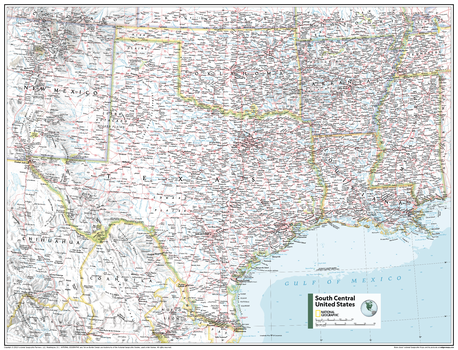
South Central U.S. - Atlas of the World, 11th Edition
National Geographic
This South Central USA map of physical and political features can fit in any space. Showcasing the region in stunning detail with state-of-the-art cartographic techniques delivering accuracy and exceptional quality, the innovative and engaging design makes the content easily accessible and user-friendly.
Ideal for classrooms with an emphasis on teaching geography or environmental themes. The inclusion of physical features gives your students a genuine feel for how our world appears.
This map uses a bright, easy to read color palette featuring blue oceans and stunning shaded relief that has been featured on National Geographic wall maps for over 75 years. It is drawn in the Albers Conic Equal-Area projection, which uses two standard parallels between which distortion is minimized, however scale and shape are not preserved.
This map is found in National Geographic's 11th Edition World Atlas and is now available as a stand alone product.
Page Size: 31.5 x 24 in (798 x 610 mm)
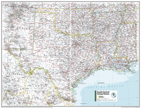
South Central U.S. - Atlas of the World, 11th Edition - Compact
National Geographic
This South Central USA map of physical and political features can fit in any space. Showcasing the region in stunning detail with state-of-the-art cartographic techniques delivering accuracy and exceptional quality, the innovative and engaging design makes the content easily accessible and user-friendly.
Ideal for classrooms with an emphasis on teaching geography or environmental themes. The inclusion of physical features gives your students a genuine feel for how our world appears.
This map uses a bright, easy to read color palette featuring blue oceans and stunning shaded relief that has been featured on National Geographic wall maps for over 75 years. It is drawn in the Albers Conic Equal-Area projection, which uses two standard parallels between which distortion is minimized, however scale and shape are not preserved.
This map is found in National Geographic's 11th Edition World Atlas and is now available as a stand alone product.
Page Size: 21.5 x 16.25 in (540 x 413 mm)
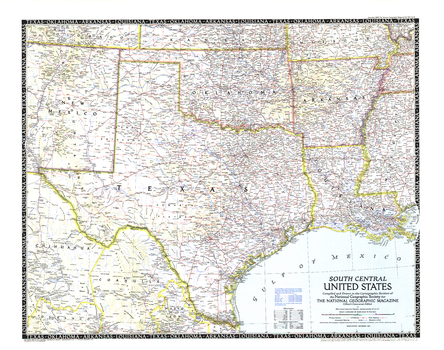
South Central United States - Published 1947
National Geographic
The fifth in a series of six sectional maps of the U.S., the South Central United States map was published in December 1947 and includes the states of Texas, Oklahoma, Arkansas, Louisiana, Mississippi, and much of New Mexico. This map series was printed between 1940 and 1948.
Page Size: 31.25 x 24.75 in (792 x 624 mm)
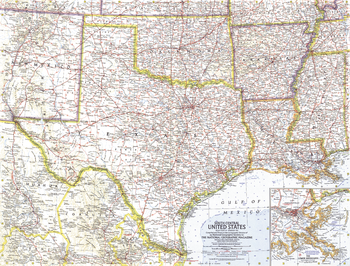
South Central United States - Published 1961
National Geographic
This map of the South Central United States features Texas, Oklahoma, Arkansas, Mississippi, Louisiana, and much of New Mexico. Intercontinental ballistic missile bases make it evident that this map was printed during a particularly strained period of the Cold War. Published in February 1961, it is part of a series of six sectional maps of the United States published between 1958 and 1961.
Page Size: 25 x 19 in (631 x 480 mm)
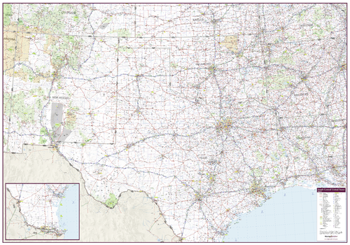
South Central United States Wall Map
Mapping Specialists
An attractive map of the South Central United States showing roads, towns and points of interest.
Page Size: 60 x 42 in (1524 x 1067 mm)
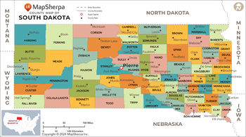
South Dakota Counties Map - Extra Large
MapSherpa
This map has been created exclusively for MapSherpa, and designed for reference or business use. Clear and clean colors & fonts matched with cartographic research makes this map of the 66 South Dakota counties easily readable and useful.
Page Size: 60 x 33.75 in (1524 x 853 mm)
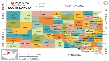
South Dakota Counties Map - Large
MapSherpa
This map has been created exclusively for MapSherpa, and designed for reference or business use. Clear and clean colors & fonts matched with cartographic research makes this map of the 66 South Dakota counties easily readable and useful.
Page Size: 48 x 27 in (1219 x 682 mm)
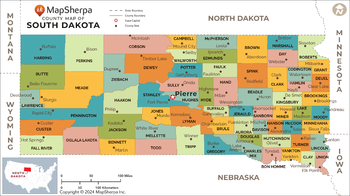
South Dakota Counties Map - Standard
MapSherpa
This map has been created exclusively for MapSherpa, and designed for reference or business use. Clear and clean colors & fonts matched with cartographic research makes this map of the 66 South Dakota counties easily readable and useful.
Page Size: 36 x 20.25 in (914 x 512 mm)
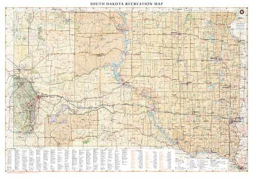
South Dakota Recreation Wall Map
Benchmark Maps
South Dakota is home to the famous Black Hills National Forest and Mount Rushmore National Monument, iconic attractions for road travelers around the world. This map illustrates the public lands and recreation potential of South Dakota, from Deadwood and Sturgis to its eastern capital in Sioux Falls.
Page Size: 38.25 x 27 in (972 x 686 mm)
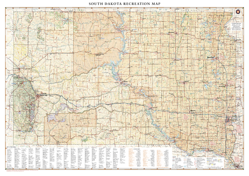
South Dakota Recreation Wall Map – 26 inch
Benchmark Maps
South Dakota is home to the famous Black Hills National Forest and Mount Rushmore National Monument, iconic attractions for road travelers around the world. This map illustrates the public lands and recreation potential of South Dakota, from Deadwood and Sturgis to its eastern capital in Sioux Falls.
Page Size: 37 x 26 in (936 x 660 mm)
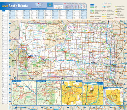
South Dakota State Wall Map
Globe Turner
This colorful, easy-to-read state map of South Dakota identifies all major thoroughfares, secondary roads, freeway interchanges, rest areas, distance markers, landmarks, recreational areas, and more. Shaded relief on the state map provides a three-dimensional sense of South Dakota’s topography. Detailed city inset maps of Pierre, Rapid City and Sioux Falls are based on the latest street information from our cartographic experts. The map also includes up-to-date insets of the Black Hills area. County and city indices make it simple to locate even the smallest town.
Page Size: 17.75 x 15.25 in (451 x 387 mm)
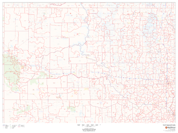
South Dakota ZIP Code Map
MapSherpa
This map of South Dakota shows ZIP codes overlaid on a road map. Base map features include municipality and county boundaries, major road network features, and state and national parks and conservation areas.
Page Size: 48 x 36 in (1219 x 914 mm)
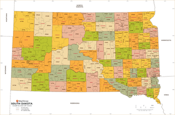
South Dakota ZIP Code Map with Counties - Extra Large
MapSherpa
This map has been created exclusively for MapSherpa, and designed for business or reference use. Clear and clean colors & fonts matched with cartographic research makes this map of South Dakota's counties and ZIP codes easily readable and useful.
Page Size: 60 x 39.5 in (1524 x 1000 mm)
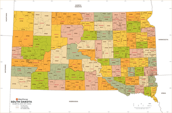
South Dakota ZIP Code Map with Counties - Large
MapSherpa
This map has been created exclusively for MapSherpa, and designed for business or reference use. Clear and clean colors & fonts matched with cartographic research makes this map of South Dakota's counties and ZIP codes easily readable and useful.
Page Size: 48 x 31.75 in (1219 x 800 mm)
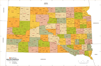
South Dakota ZIP Code Map with Counties - Standard
MapSherpa
This map has been created exclusively for MapSherpa, and designed for business or reference use. Clear and clean colors & fonts matched with cartographic research makes this map of South Dakota's counties and ZIP codes easily readable and useful.
Page Size: 36 x 23.75 in (914 x 600 mm)
No search results