


MapSherpa Catalog
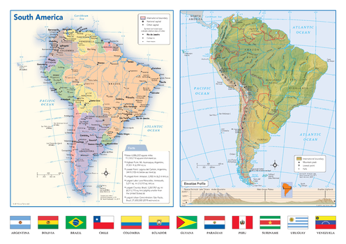
South America Political & Physical Continent Map with Country Flags
Globe Turner
This map of the South American continent combines two maps in one - a vivid political map of South America showing all of the countries and major cities as well as a colorful topographic physical map depicting all of the major physical features in South America, including a cross-continent elevation profile. The political map includes a call-out box with interesting facts about the continent. The map also includes all 12 flags each South American country.
Page Size: 17 x 12 in (432 x 305 mm)
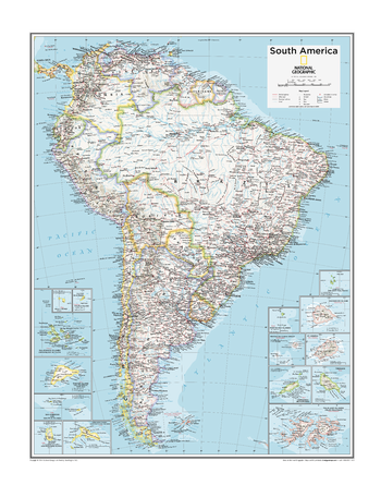
South America Political - Atlas of the World, 10th Edition
National Geographic
Page Size: 22 x 28 in (559 x 711 mm)
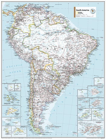
South America Political - Atlas of the World, 11th Edition
National Geographic
This map of political features can fit in any space. Showcasing South America in stunning detail with state-of-the-art cartographic techniques delivering accuracy and exceptional quality, the innovative and engaging design makes the content easily accessible and user-friendly.
Ideal for classrooms with an emphasis on teaching geography or environmental themes. The inclusion of physical features on this map gives your students a genuine feel for how our world appears.
This political map of South America uses a bright, easy to read color palette featuring blue oceans and stunning shaded relief that has been featured on National Geographic wall maps for over 75 years. Drawn in the Azimuthal Equidistant projection, this map ensures that all points are at proportionally correct distances from the center point.
Names of geographic features such as international boundaries, cities, rivers and lakes are carefully placed on the map to maintain legibility.
This map is found in National Geographic's 11th Edition World Atlas and is now available as a stand alone product.
Page Size: 24 x 31.5 in (610 x 798 mm)
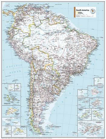
South America Political - Atlas of the World, 11th Edition - Compact
National Geographic
This map of political features can fit in any space. Showcasing South America in stunning detail with state-of-the-art cartographic techniques delivering accuracy and exceptional quality, the innovative and engaging design makes the content easily accessible and user-friendly.
Ideal for classrooms with an emphasis on teaching geography or environmental themes. The inclusion of physical features on this map gives your students a genuine feel for how our world appears.
This political map of South America uses a bright, easy to read color palette featuring blue oceans and stunning shaded relief that has been featured on National Geographic wall maps for over 75 years. Drawn in the Azimuthal Equidistant projection, this map ensures that all points are at proportionally correct distances from the center point.
Names of geographic features such as international boundaries, cities, rivers and lakes are carefully placed on the map to maintain legibility.
This map is found in National Geographic's 11th Edition World Atlas and is now available as a stand alone product.
Page Size: 16.25 x 21.5 in (413 x 540 mm)
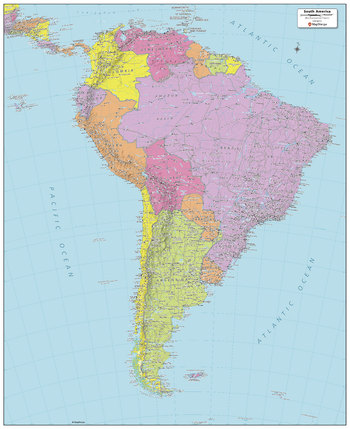
South America Political Map
MapSherpa
Created specifically for MapSherpa, this South America Political Map shows all the countries that make up the continent; from Colombia in the north, to the end of Tierra del Fuego of Argentina and Chile to the south. Each country and its capital and major cities are noted, as well as the primary physical features such as mountain ranges, rivers, and lakes. The major islands and their associated countries are noted. With multiple sizes available, this is the perfect reference map for home, office, or school use.
Page Size: 24.25 x 29.5 in (610 x 749 mm)
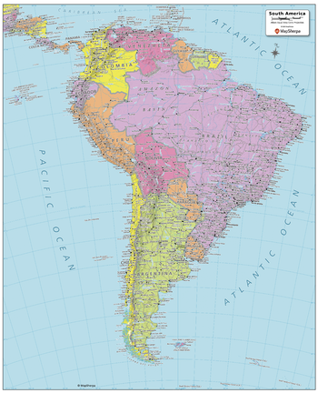
South America Political Map - Compact
MapSherpa
Created specifically for MapSherpa, this South America Political Map shows all the countries that make up the continent; from Colombia in the north, to the end of Tierra del Fuego of Argentina and Chile to the south. Each country and its capital and major cities are noted, as well as the primary physical features such as mountain ranges, rivers, and lakes. The major islands and their associated countries are noted. With multiple sizes available, this is the perfect reference map for home, office, or school use.
Page Size: 16 x 19.75 in (406 x 502 mm)
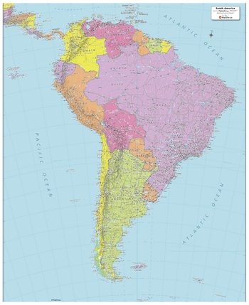
South America Political Map - Extra Large
MapSherpa
Created specifically for MapSherpa, this South America Political Map shows all the countries that make up the continent; from Colombia in the north, to the end of Tierra del Fuego of Argentina and Chile to the south. Each country and its capital and major cities are noted, as well as the primary physical features such as mountain ranges, rivers, and lakes. The major islands and their associated countries are noted. With multiple sizes available, this is the perfect reference map for home, office, or school use.
Page Size: 40 x 49 in (1016 x 1245 mm)
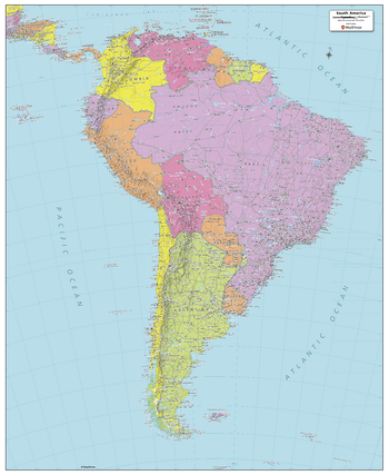
South America Political Map - Large
MapSherpa
Created specifically for MapSherpa, this South America Political Map shows all the countries that make up the continent; from Colombia in the north, to the end of Tierra del Fuego of Argentina and Chile to the south. Each country and its capital and major cities are noted, as well as the primary physical features such as mountain ranges, rivers, and lakes. The major islands and their associated countries are noted. With multiple sizes available, this is the perfect reference map for home, office, or school use.
Page Size: 32 x 39 in (813 x 991 mm)
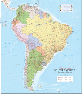
South America Wall Map
Global Mapping
The beautiful continent of South America is captured here in Global Mapping's equally beautiful design, the map was created by award winning Mary Spence MBE
Page Size: 39 x 45 in (990 x 1140 mm)
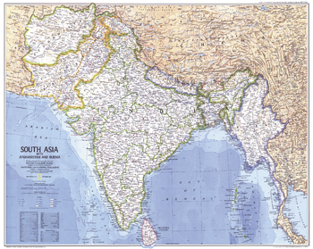
South Asia With Afghanistan and Burma - Published 1984
National Geographic
Two tragic events put India in the world headlines in 1984: the assassination of Prime Minister Indira Gandhi in October, and the Bhopal disaster in December. This map situates India within South Asia, including Afghanistan and Burma. Published in December 1984 as a companion to the "Peoples of South Asia" map and an article on monsoons.
Page Size: 28.5 x 22.75 in (720 x 575 mm)
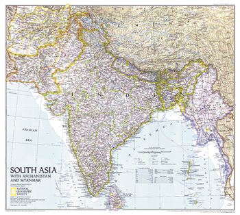
South Asia with Afghanistan and Myanmar - Published 1997
National Geographic
This map of South Asia contains extraordinary detail including points of interest, dams, and ruins in addition to cities and geographical features. Published in May 1997 as half of a two–map set with an educational map of India and the article "India: Fifty Years of Independence."
Page Size: 23 x 20.5 in (579 x 519 mm)

South Australia State Wall Map
Hardie Grant
South Australia state map coverage including an inset with coverage of 150km around Adelaide at a scale of 1: 1 000 000 covering Kangaroo Island, Yorke & Eyre Peninsulas and the Barossa Valley. This map clearly shows dual carriageways, national highways, and other roads, distances between towns, route numbers, towns with an indication of the size of each town and also comprehensive listing of towns, localities & homesteads. Also included are Visitor Information Centres, Deserts, Reserves, National & Marine Parks . This is an easy to read map that will help you find your way around South Australia with ease and is ideal for both travel & business. Maps are also available for other Australian states & territories for a comprehensive coverage of Australia.
Page Size: 27.25 x 36.25 in (690 x 920 mm)

South Australia State Wall Map
Hema Maps
A map of South Australia that is an ideal travel reference and wall map.
Page Size: 28.25 x 40 in (716 x 1016 mm)

South Australia Supermap
Hema Maps
A large map of South Australia that is an ideal travel reference and wall map.
Page Size: 40.25 x 57 in (1017 x 1446 mm)
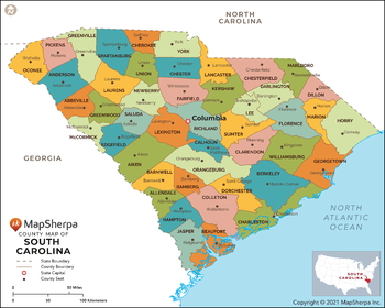
South Carolina Counties Map - Extra Large
MapSherpa
This map has been created exclusively for MapSherpa, and designed for reference or business use. Clear and clean colors & fonts matched with cartographic research makes this map of South Carolina Counties Map easily readable and useful. The map shows the 46 counties of South Carolina and their borders across the Palmetto State.
Page Size: 60 x 48.25 in (1524 x 1220 mm)
South Carolina Counties Map - Large
MapSherpa
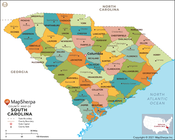
This map has been created exclusively for MapSherpa, and designed for reference or business use. Clear and clean colors & fonts matched with cartographic research makes this map of South Carolina Counties Map easily readable and useful. The map shows the 46 counties of South Carolina and their borders across the Palmetto State.
Page Size: 48 x 38.5 in (1219 x 976 mm)
South Carolina Counties Map - Standard
MapSherpa
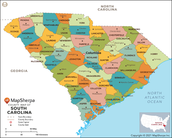
This map has been created exclusively for MapSherpa, and designed for reference or business use. Clear and clean colors & fonts matched with cartographic research makes this map of South Carolina Counties Map easily readable and useful. The map shows the 46 counties of South Carolina and their borders across the Palmetto State.
Page Size: 36 x 29 in (914 x 732 mm)
South Carolina State Wall Map
Globe Turner
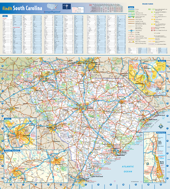
This colorful, easy-to-read state map of South Carolina identifies all major thoroughfares, secondary roads, freeway interchanges, rest areas, distance markers, landmarks, recreational areas, and more. Shaded relief on the state map provides a three-dimensional sense of South Carolina's topography. Detailed city inset maps of Charleston, Columbia, Greenville-Spartanburg, and Myrtle Beach are based on the latest street information from our cartographic experts. County and city indices make it simple to locate even the smallest town.
Page Size: 16.5 x 18.5 in (419 x 467 mm)
South Carolina ZIP Code Map
MapSherpa
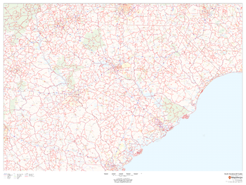
This map of South Carolina shows ZIP codes overlaid on a road map. Base map features include municipality and county boundaries, major road network features, and state and national parks and conservation areas.
Page Size: 48 x 36 in (1219 x 914 mm)
South Carolina ZIP Code Map with Counties - Extra Large
MapSherpa
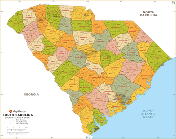
This map has been created exclusively for MapSherpa, and designed for business or reference use. Clear and clean colors & fonts matched with cartographic research makes this South Carolina Zip Code Map with Counties easily readable and useful. The map shows the 46 counties of South Carolina and the borders of the 421 zip codes across the Palmetto State.
Page Size: 60 x 47.5 in (1524 x 1204 mm)
No search results