


MapSherpa Catalog
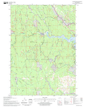
Silver City Quadrangle, South Dakota
United States Forest Service
United States Department of Agriculture Forestry Service topographical map of Silver City, Black Hills National Forest, South Dakota.
Page Size: 21.75 x 27 in (552 x 686 mm)
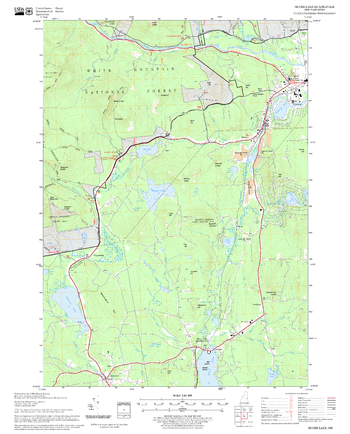
Silver Lake Quadrangle, New Hampshire-Vermont
United States Forest Service
United States Forestry Service topographical map of Silver Lake, New Hampshire-Vermont
Page Size: 21.75 x 27 in (552 x 686 mm)
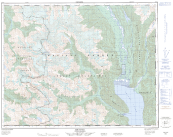
Sim River - 92 N/4 - British Columbia
Natural Resources Canada
Canadian topographic map of Sim River, British Columbia. NTS sheet 092N04 Edition 1.
Page Size: 31.75 x 25.25 in (801 x 637 mm)

Singapore Wall Map
Hema Maps
Travel map of Singapore. Distinguished between four levels of roadways and shows both MRT and LRT transit routes. Inner city map shows locations of bus terminals, points of interest, govt buildings, hotels, theaters, shopping centers, churches, hospitals, parks, and estates. Includes a comprehensive index of street names.
Page Size: 39.5 x 27.75 in (1000 x 700 mm)
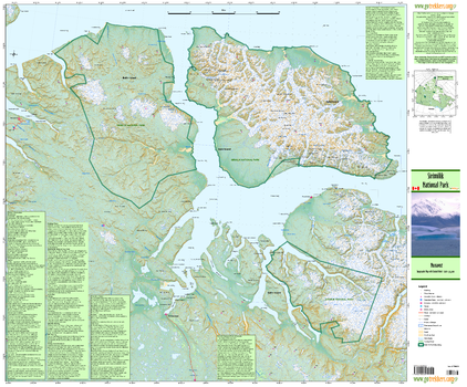
Sirimilik National Park
GoTrekkers
Sirimilik National Park
Page Size: 41 x 34 in (1041 x 864 mm)
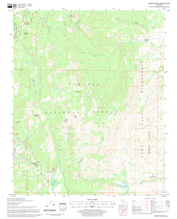
Sirretta Peak Quadrangle, California
United States Forest Service
United States Department of Agriculture Forestry Service topographical map of Sirretta Peak, Sequoia National Forest, California.
Page Size: 21.75 x 27 in (552 x 686 mm)
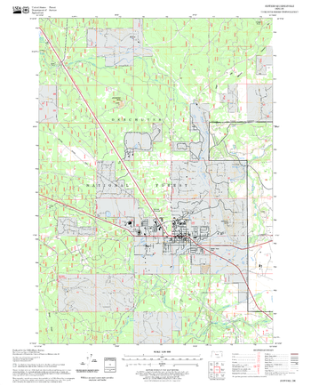
Sisters Quadrangle, Oregon
United States Forest Service
United States Department of Agriculture Forestry Service topographical map of Sisters, Deschutes National Forest, Oregon.
Page Size: 21.75 x 27 in (552 x 686 mm)
Site Plan - Black and White
MapSherpa
Site Plan - Colour
MapSherpa
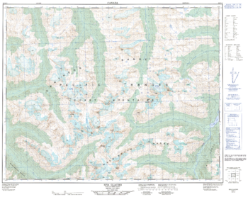
Siva Glacier - 92 N/11 - British Columbia
Natural Resources Canada
Canadian topographic map of Siva Glacier, British Columbia. NTS sheet 092N11 Edition 1.
Page Size: 32 x 25.25 in (808 x 641 mm)
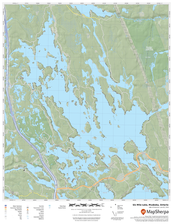
Six Mile Lake, Muskoka, Ontario
MapSherpa
A cartographically beautiful map of Six Mile Lake, Muskoka, Ontario ideal for showing off cottages, resorts, lakes and other favourite places.
Page Size: 17 x 22 in (432 x 559 mm)
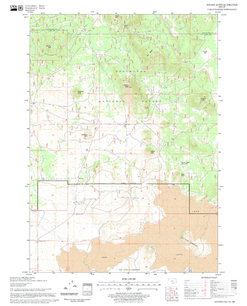
Sixteen Butte Quadrangle, Oregon
United States Forest Service
United States Department of Agriculture Forestry Service topographical map of Sixteen Butte, Deschutes National Forest, Oregon.
Page Size: 21.75 x 27 in (552 x 686 mm)
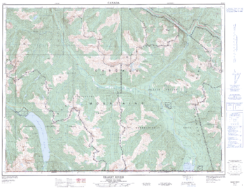
Skagit River - 92 H/3 - British Columbia
Natural Resources Canada
Canadian topographic map of Skagit River, British Columbia. NTS sheet 092H03 Edition 3.
Page Size: 33 x 25.5 in (832 x 643 mm)
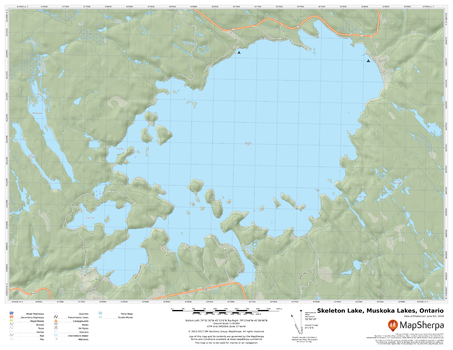
Skeleton Lake, Muskoka Lakes, Ontario
MapSherpa
A cartographically beautiful map of Skeleton Lake, Muskoka Lakes, Ontario ideal for showing off cottages, resorts, lakes and other favourite places.
Page Size: 22 x 17 in (559 x 432 mm)

Ski Resort Map of the Alps - Panoramic
2theAlps
The first comprehensive ski-resort focused map of the Alps enabling independent travellers to plan their journeys to and through the mountains. Attractive, clear mapping showing the location of 640 alpine resorts in Austria, France, Germany, Italy, Liechtenstein, Slovenia and Switzerland.
Page Size: 40 x 22 in (1016 x 555 mm)

Ski Resort Map of the Alps with Index
2theAlps
The first comprehensive, fully indexed, ski-resort focused map of the Alps enabling independent travellers to plan their journeys to and through the mountains. Attractive, clear mapping showing the location of 640 alpine resorts in Austria, France, Germany, Italy, Liechtenstein, Slovenia and Switzerland.
Page Size: 34.25 x 22 in (864 x 559 mm)
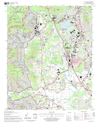
Skyland Quadrangle, North Carolina
United States Forest Service
United States Department of Agriculture Forestry Service topographical map of Skyland, Pisgah National Forest, North Carolina.
Page Size: 21.75 x 27 in (552 x 686 mm)
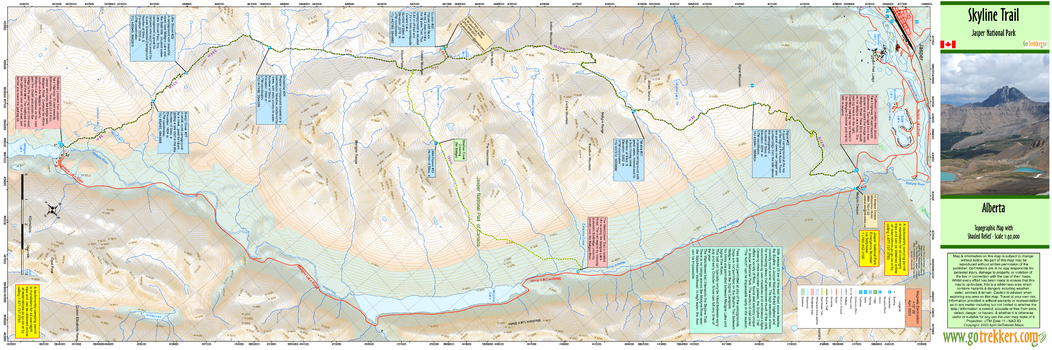
Skyline Trail
GoTrekkers
Skyline Trail
Page Size: 41.5 x 14 in (1054 x 351 mm)
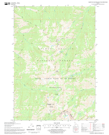
Sleeping Deer Mountain Quadrangle, Idaho
United States Forest Service
United States Department of Agriculture Forestry Service topographical map of Sleeping Deer Mountain, Salmon-Chalis National Forest, Idaho.
Page Size: 21.75 x 27 in (552 x 686 mm)
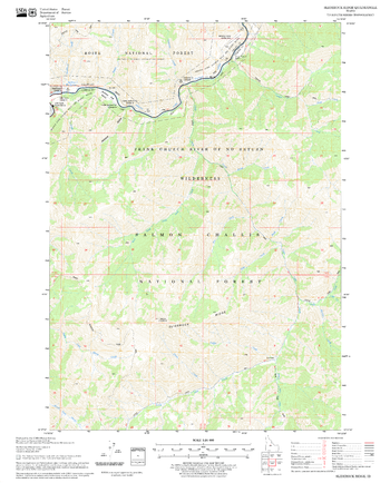
Sliderock Ridge Quadrangle, Idaho
United States Forest Service
United States Department of Agriculture Forestry Service topographical map of Sliderock Ridge, Salmon-Chalis National Forest, Idaho.
Page Size: 21.75 x 27 in (552 x 686 mm)
No search results