


MapSherpa Catalog
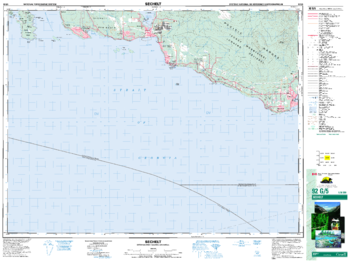
Sechelt - 92 G/5 - British Columbia
Natural Resources Canada
Canadian topographic map of Sechelt, British Columbia. NTS sheet 092G05 Edition 3.
Page Size: 34.5 x 26 in (876 x 659 mm)
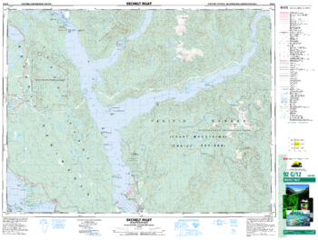
Sechelt Inlet - 92 G/12 - British Columbia
Natural Resources Canada
Canadian topographic map of Sechelt Inlet, British Columbia. NTS sheet 092G12 Edition 3.
Page Size: 34.5 x 26 in (873 x 659 mm)
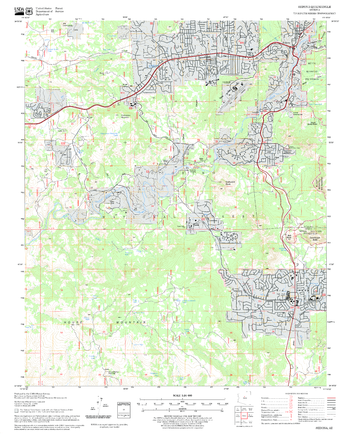
Sedona Quadrangle, Arizona
United States Forest Service
United States Department of Agriculture Forestry Service topographical map of Sedona, Coconino National Forest, Arizona.
Page Size: 21.75 x 27 in (552 x 686 mm)
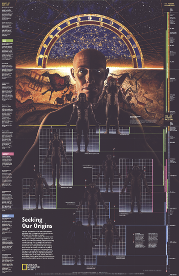
Seeking Our Origins - Published 1997
National Geographic
Published in February 1997 with the Dawn of Humans map and article, this compelling work contains illustrations of the various hominid species discovered. A timeline and other information puts the dawn of early man into perspective.
Page Size: 20.25 x 31.25 in (513 x 789 mm)
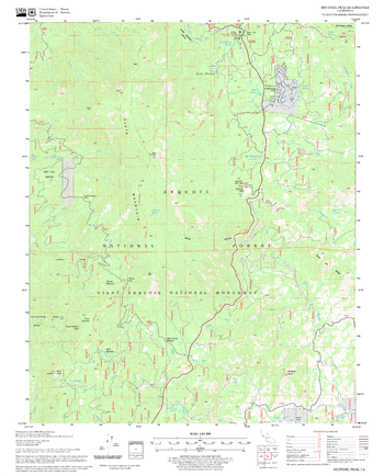
Sentinel Peak Quadrangle, California
United States Forest Service
United States Department of Agriculture Forestry Service topographical map of Sentinel Peak, Sequoia National Forest, California.
Page Size: 21.75 x 27 in (552 x 686 mm)
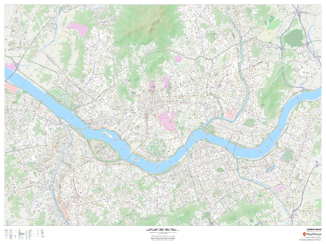
Seoul, South Korea Inner Metro
MapSherpa
This detailed street map of central Seoul, South Korea shows the full road and rail networks, points of interest, and land use across the city. Useful for locating yourself within the city, and identifying key landmarks. Map includes building footprints for most urban buildings, providing an important aid for navigating in the city.
Page Size: 48 x 36 in (1219 x 914 mm)
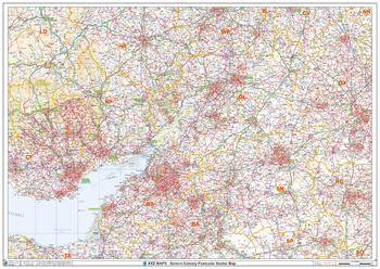
Severn Estuary Postcode Sector Wall Map (S6)
XYZ Maps
The Severn Estuary Postcode Sector Wall Map shows detailed postcode sector boundaries along with its associated label (BS1 1, BS1 2) on a comprehensive background and is perfect for determining postcode boundaries, for sales, logistics, planning mailshots or as a regional reference guide.
Page Size: 47 x 33.25 in (1189 x 841 mm)
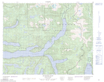
Seymour Inlet - 92 M/2 - British Columbia
Natural Resources Canada
Canadian topographic map of Seymour Inlet, British Columbia. NTS sheet 092M02 Edition 2.
Page Size: 32 x 25.25 in (809 x 640 mm)
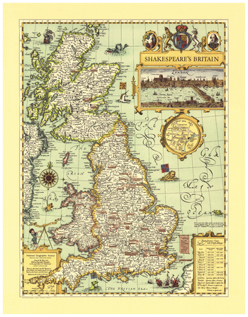
Shakespeare's Britain
National Geographic
First published in the May, 1965 issue of National Geographic Magazine, this map is a one-of-a-kind resource for any true Shakespeare enthusiast. Steeped in the history of the era, Shakespeare's Britain is infused with symbols and icons that show settings of the plays, towns and abbeys, castles, battlefields, forests, and heaths. Special insets include a panoramic view of Shakespeare's London and an enlarged map of Stratford on Avon. Also included is a table of Shakespeare's Plays with British Settings.
Page Size: 21 x 27 in (533 x 686 mm)
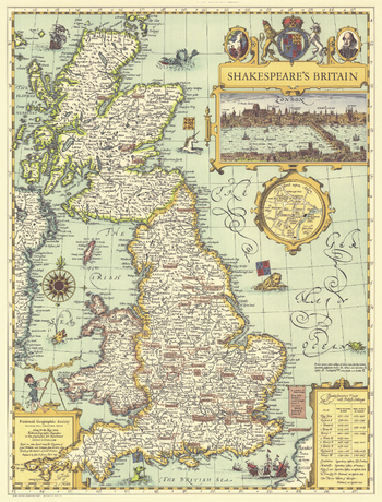
Shakespeares Britain - Published 1964
National Geographic
This elegant and delightfully illustrated map of Shakespeare's Britain shows the settings of plays and various points of interest throughout England, Wales, and Scotland. Published in May 1964, based on John Speed's map "The Kingdome of Great Britaine" from his 1611 atlas "Theatre of the Empire of Great Britaine."
Page Size: 19 x 25 in (481 x 631 mm)
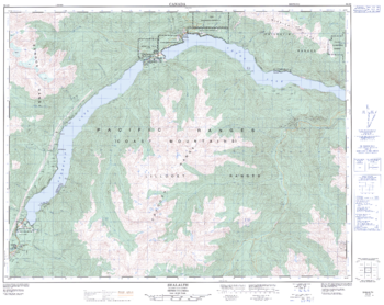
Shalalth - 92 J/9 - British Columbia
Natural Resources Canada
Canadian topographic map of Shalalth, British Columbia. NTS sheet 092J09 Edition 2.
Page Size: 32 x 25.5 in (809 x 643 mm)
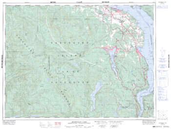
Shawnigan Lake - 92 B/12 - British Columbia
Natural Resources Canada
Canadian topographic map of Shawnigan Lake, British Columbia. NTS sheet 092B12 Edition 5.
Page Size: 33.75 x 25.5 in (852 x 642 mm)
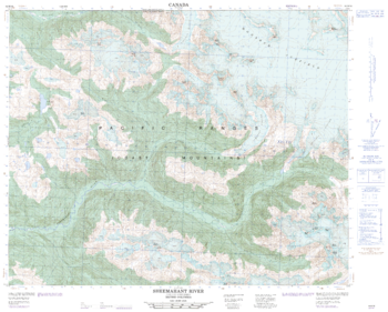
Sheemahant River - 92 M/16 - British Columbia
Natural Resources Canada
Canadian topographic map of Sheemahant River, British Columbia. NTS sheet 092M16 Edition 2.
Page Size: 31 x 25 in (787 x 632 mm)
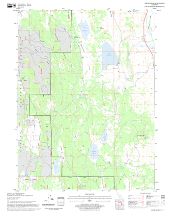
Sheepshead Quadrangle, California
United States Forest Service
United States Department of Agriculture Forestry Service topographical map of Sheepshead, Lassen National Forest, California.
Page Size: 21.75 x 27 in (552 x 686 mm)
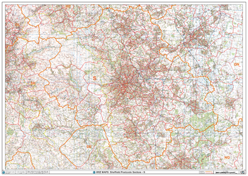
Sheffield - S - Postcode Wall Map
XYZ Maps
The Sheffield Postcode Sector Wall Map shows detailed postcode sector boundaries (S1 1, S1 2) on a comprehensive background and is perfect for determining postcode boundaries for sales areas, planning mailshots and also an excellent reference for logistics. This wall map covers the whole of the S Postcode Area.
Page Size: 47 x 33.25 in (1189 x 841 mm)
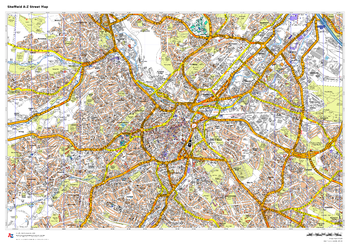
Sheffield A-Z Street Map
A-Z Maps
This up-to-date A-Z street map includes more than 3,000 streets in and around Sheffield. As well as the central shopping area, the other areas covered are Park Hill, Burngreave, Netherthorpe, Crookesmoor, Broomfield and Highfield.
Page Size: 33.25 x 23.5 in (841 x 594 mm)
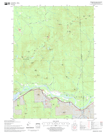
Shelburne Quadrangle, New Hampshire-Vermont
United States Forest Service
United States Department of Agriculture Forestry Service topographical map of Shelburne, White Mountains National Forest, New Hampshire-Vermont.
Page Size: 21.75 x 27 in (552 x 686 mm)
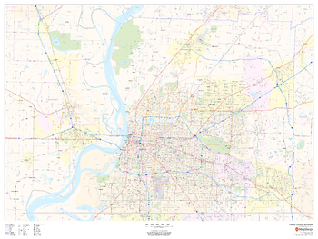
Shelby County, Tennessee
MapSherpa
This map of Shelby County, Tennessee shows regional level information. Base map features include highways and major roads with labelling; neighborhood names; railways; high level land use such as parks and recreation areas, industrial areas and hospital campuses; and a selection of points of interest including transportation hubs like airports and train stations, tourist information, police stations and shopping centres. ZIP code boundaries are shown as a secondary map feature.
Page Size: 48 x 36 in (1219 x 914 mm)
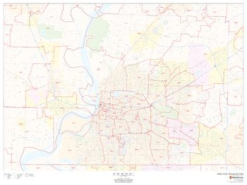
Shelby County, Tennessee ZIP Codes
MapSherpa
This map of Shelby County, Tennessee shows ZIP code areas overlaid on a road map. Ideal for planning of deliveries, home services, sales territories, real estate and much more. Base map features include all roads with major roads and highways labelled; neighborhood names; railways; and high level land use such as parks and recreation areas, industrial areas and hospital campuses.
Page Size: 48 x 36 in (1219 x 914 mm)
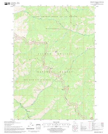
Sheldon Peak Quadrangle, Idaho
United States Forest Service
United States Department of Agriculture Forestry Service topographical map of Sheldon Peak, Salmon-Chalis National Forest, Idaho.
Page Size: 21.75 x 27 in (552 x 686 mm)
No search results