


MapSherpa Catalog
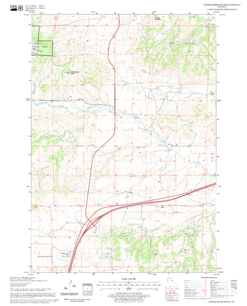
Schoolmarm Butte Quadrangle, South Dakota
United States Forest Service
United States Department of Agriculture Forestry Service topographical map of Schoolmarm Butte, Black Hills National Forest, South Dakota.
Page Size: 21.75 x 27 in (552 x 686 mm)
Scotland
MapSherpa
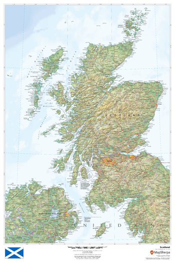
This beautiful map shows physical and political features for Scotland and surrounding areas. Relief shading and the use of different colours by height above sea level are both informative and attractive.
Page Size: 24 x 36 in (610 x 914 mm)
Scotland Classic
National Geographic
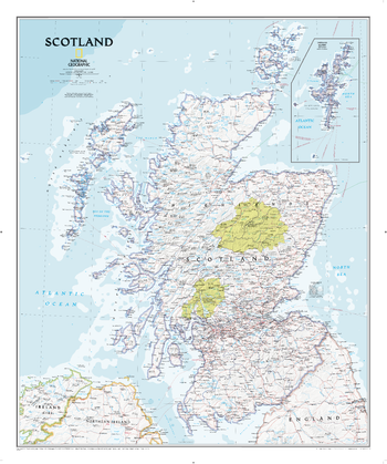
National Geographic's wall map of Scotland is one of the largest and most detailed maps of the country. The signature Classic style design uses a bright, easy-to-read color palette featuring blue oceans and stunning shaded relief that has been featured on National Geographic wall maps for over 75 years. This map includes hundreds of named places including primary and secondary towns, counties, political boundaries, infrastructure, and selected historical sites. Scotland is shown in its entirety including the Highlands, Southern Uplands, Isle of Skye, Outer Hebrides, Inner Hebrides, Orkney Islands and the Shetland Islands (shown in an inset map). The nine political council areas of Scotland are also clearly identified.
Page Size: 30 x 36 in (762 x 914 mm)
Scotland Executive
National Geographic
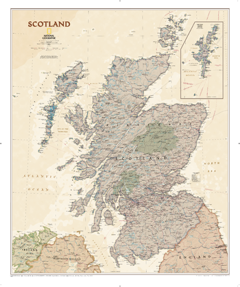
National Geographic's wall map of Scotland is one of the largest and most detailed maps of the country. The Executive map of Scotland uses an antique-style color palette and stunning shaded relief that provide a richness perfect for any decor. This map includes hundreds of named places including primary and secondary towns, counties, political boundaries, infrastructure, and selected historical sites. Scotland is shown in its entirety including the Highlands, Southern Uplands, Isle of Skye, Outer Hebrides, Inner Hebrides, Orkney Islands and the Shetland Islands (shown in an inset map). The nine political council areas of Scotland are also clearly identified.
Page Size: 30 x 36 in (762 x 914 mm)
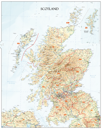
Scotland Postcode Areas Wall Map (AR1)
XYZ Maps
An informative physical wall map of Scotland ideal for the office or educational environment. This unique map accurately depicts relief. Includes all major towns, roads, rivers, lakes and clearly shows the postcode area boundaries along with the associated postcode Labels.
Page Size: 27.75 x 34.75 in (700 x 880 mm)
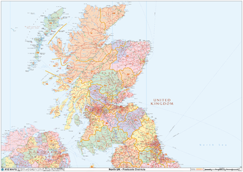
Scotland Postcode District Wall Map (D10)
XYZ Maps
The Scotland Postcode District Wall Map clearly shows postcode district boundaries and associated district labels (EH1, EH2) on a comprehensive background and is perfect for determining postcode boundaries for sales territories, logistics, planning mailshots or as a regional reference guide.
Page Size: 47 x 33.25 in (1189 x 841 mm)
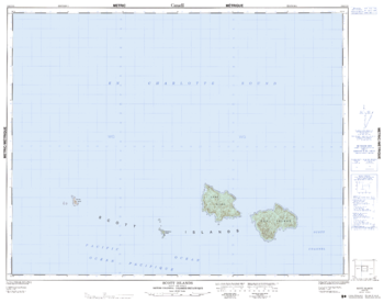
Scott Island - 102 I/15 - British Columbia
Natural Resources Canada
Canadian topographic map of Scott Island, British Columbia. NTS sheet 102I15 Edition 1.
Page Size: 32.25 x 25.5 in (817 x 645 mm)
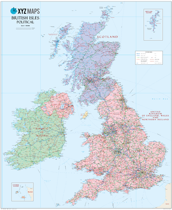
Scottish British Isles Political Wall Map
XYZ Maps
The Scottish British Isles Political wall map is ideal for the office or educational environment. This unique Scottish British Isles map features political colouring showing the Counties of the United Kingdon of England, Wales & Northern Ireland (rUK), Scotland and Ireland. All major Towns, Roads, Rivers and Lakes are shown on this map. This map shows the British Isles as they would appear if Scotland became independent. If you are a YES supporter in favour of independence for Scotland then this is the map for you!
Page Size: 35.5 x 43.5 in (900 x 1100 mm)
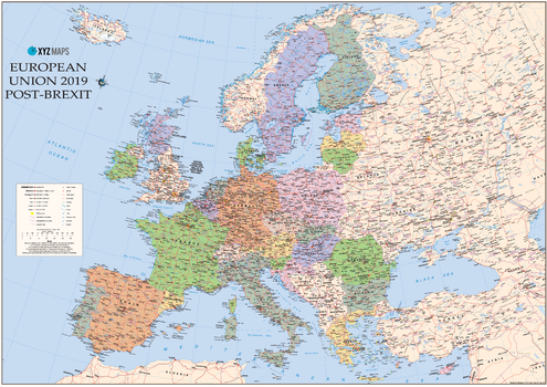
Scottish Catalan European Union 2019 - Post Brexit Wall Map
XYZ Maps
The Scottish Catalan European Union 2019 Post-Brexit Political wall map is ideal for the office or educational environment. This unique Scottish EU map features political colouring showing Europe and the member countries of the European Union. All major Towns, Roads, Rivers and Lakes are shown on this map. This map shows the British Isles as they would appear if Scotland became independent and chose to remain in the EU. It also shows Catalonia / Catalunya as independent within the EU. If you are a YES supporter in favour of independence for Scotland then this is the map for you!
Page Size: 47 x 33.25 in (1189 x 841 mm)
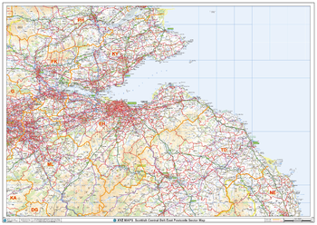
Scottish Central Belt East Postcode Sector Wall Map (S18)
XYZ Maps
The Scottish Central Belt East Postcode Sector Wall Map shows detailed postcode sector boundaries along with its associated label (EH1 1, EH1 2) on a comprehensive background and is perfect for determining postcode boundaries, for sales, logistics, planning mailshots or as a regional reference guide.
Page Size: 47 x 33.25 in (1189 x 841 mm)
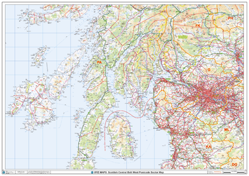
Scottish Central Belt West Postcode Sector Wall Map (S17)
XYZ Maps
The Scottish Central Belt West Postcode Sector Wall Map shows detailed postcode sector boundaries along with its associated label (G1 1, G1 2) on a comprehensive background and is perfect for determining postcode boundaries, for sales, logistics, planning mailshots or as a regional reference guide.
Page Size: 47 x 33.25 in (1189 x 841 mm)
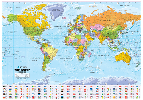
Scottish Large World Political Wall Map
XYZ Maps
Stunning Large Scottish World Wall Map, ideal for the Boardroom, Office, Home or Educational environment. This Large World Wall Map features vibrant political colouring showing the countries and cities of the world with accurate hill shading. The large size Scottish Political World Wall Map includes Flags and Country information and shows Scotland as an independent country along with rUK (the United Kingdom of England, Wales & Northern Ireland). If you are a YES supporter in favour of independence for Scotland then this is the map for you!
Page Size: 54 x 38 in (1370 x 960 mm)
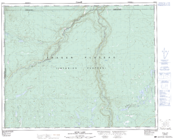
Scum Lake - 92 O/13 - British Columbia
Natural Resources Canada
Canadian topographic map of Scum Lake, British Columbia. NTS sheet 092O13 Edition 2.
Page Size: 31.5 x 25.5 in (798 x 643 mm)
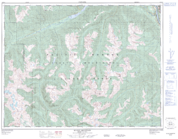
Scuzzy Mountain - 92 H/13 - British Columbia
Natural Resources Canada
Canadian topographic map of Scuzzy Mountain, British Columbia. NTS sheet 092H13 Edition 2.
Page Size: 32.5 x 25.25 in (821 x 641 mm)
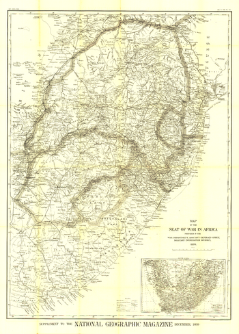
Seat of War in Africa - Published 1899
National Geographic
A truly distinctive work, this map was published in December 1899, shortly after the start of the Second Boer War in South Africa. The intricacy and unique historical context of this map make it a wonderful item for collectors.
Page Size: 35.5 x 49.5 in (898 x 1253 mm)
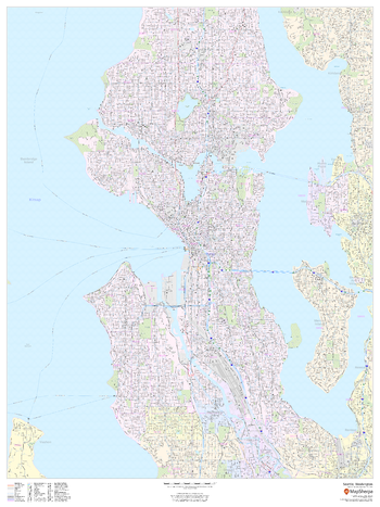
Seattle, Washington - Portrait
MapSherpa
This portrait-oriented map of Seattle, Washington shows detailed street level information including extensive street labeling. Ideal for planning of deliveries, home services, sales territories, real estate and much more. Base map features include all roads with major roads and highways labelled; neighborhood names; railways; high level land use such as parks and recreation areas, industrial areas and hospital campuses; and a variety of points of interest including schools, libraries, stadiums, museums, border crossings and more.
Page Size: 36 x 48 in (914 x 1219 mm)
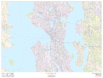
Seattle, Washington Inner Metro - Landscape
MapSherpa
This landscape-oriented map of central Seattle, Washington shows detailed street level information including extensive street labeling. Ideal for planning of deliveries, home services, sales territories, real estate and much more. Base map features include all roads with major roads and highways labelled; neighborhood names; railways; high level land use such as parks and recreation areas, industrial areas and hospital campuses; and a variety of points of interest including schools, libraries, stadiums, museums, border crossings and more.
Page Size: 48 x 36 in (1219 x 914 mm)
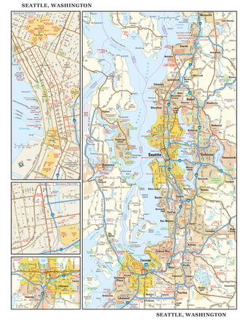
Seattle, Washington Wall Map, large
Globe Turner
This detailed reference map combines four maps in one - a regional map of the Seattle metropolitan area, street-level maps of downtown Seattle and Tacoma, and an area map of Olympia, Washington - Washington's state capitol, located southwest of Tacoma. The regional maps of Seattle and Olympia depict the area's cities and towns, highways and roads, and a variety of points of interest. Bainbridge Island, Bremerton, Bellevue, and Everett are among the cities surrounding Seattle that are featured on the Seattle regional map. The highly detailed insets of central Seattle and Tacoma show highways, streets, parks, landmarks, and other points of interest. The Seattle Center, Belltown, and Pioneer Square are among the neighborhoods featured on the downtown Seattle map. Also available in a small size of 14.50" high X 11.25" wide
Page Size: 22.75 x 29 in (572 x 737 mm)
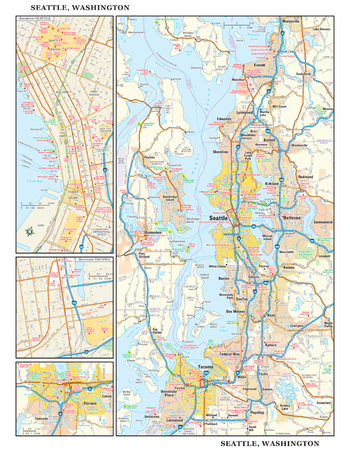
Seattle, Washington Wall Map, small
Globe Turner
This detailed reference map combines four maps in one - a regional map of the Seattle metropolitan area, street-level maps of downtown Seattle and Tacoma, and an area map of Olympia, Washington - Washington's state capitol, located southwest of Tacoma. The regional maps of Seattle and Olympia depict the area's cities and towns, highways and roads, and a variety of points of interest. Bainbridge Island, Bremerton, Bellevue, and Everett are among the cities surrounding Seattle that are featured on the Seattle regional map. The highly detailed insets of central Seattle and Tacoma show highways, streets, parks, landmarks, and other points of interest. The Seattle Center, Belltown, and Pioneer Square are among the neighborhoods featured on the downtown Seattle map. Also available in a large size of 29.00" high X 22.50" wide
Page Size: 11.25 x 14.5 in (286 x 368 mm)
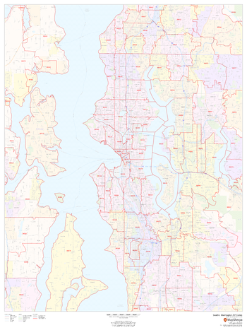
Seattle, Washington ZIP Codes
MapSherpa
This map of Seattle shows ZIP code areas overlaid on a road map. Ideal for planning of deliveries, home services, sales territories, real estate and much more. Base map features include all roads with major roads and highways labelled; neighborhood names; railways; and high level land use such as parks and recreation areas, industrial areas and hospital campuses.
Page Size: 36 x 48 in (914 x 1219 mm)
No search results