


MapSherpa Catalog
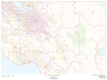
Santa Clara County, California ZIP Codes
MapSherpa
This map of Santa Clara County, California shows ZIP code areas overlaid on a road map. Ideal for planning of deliveries, home services, sales territories, real estate and much more. Base map features include all roads with major roads and highways labelled; neighborhood names; railways; and high level land use such as parks and recreation areas, industrial areas and hospital campuses.
Page Size: 48 x 36 in (1219 x 914 mm)
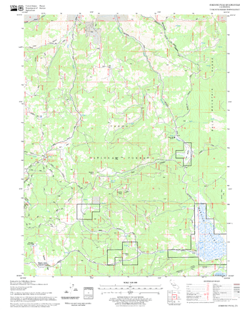
Sardine Peak Quadrangle, California
United States Forest Service
United States Department of Agriculture Forestry Service topographical map of Sardine Peak, Tahoe National Forest, California.
Page Size: 21.75 x 27 in (552 x 686 mm)
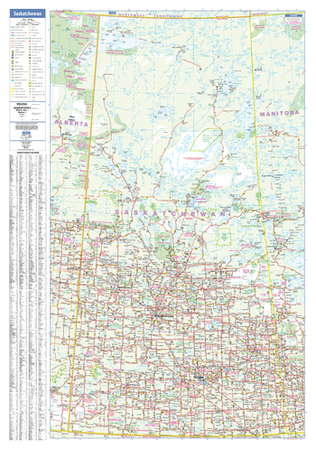
Saskatchewan Wall Map
Lucidmap
This wall map has been designed to show important features in Saskatchewan including all highways, cities and towns, major parks, political boundaries, and points of interest.
The map has been designed with a traditional Canadian style embraced by map buyers over many years.
Page Size: 28 x 40 in (711 x 1016 mm)
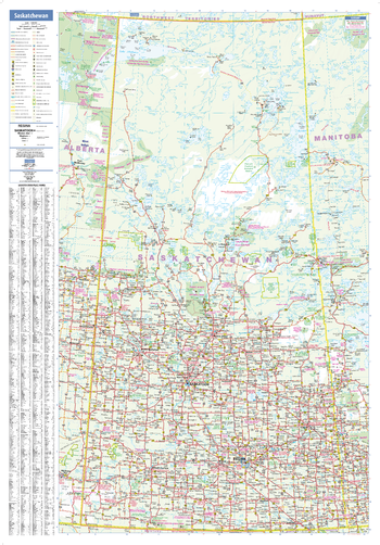
Saskatchewan Wall Map - Large
Lucidmap
This large wall map has been designed to show important features in Saskatchewan including all highways, cities and towns, major parks, political boundaries, and points of interest.
The map has been designed with a traditional Canadian style embraced by map buyers over many years.
Page Size: 37.5 x 54 in (953 x 1372 mm)
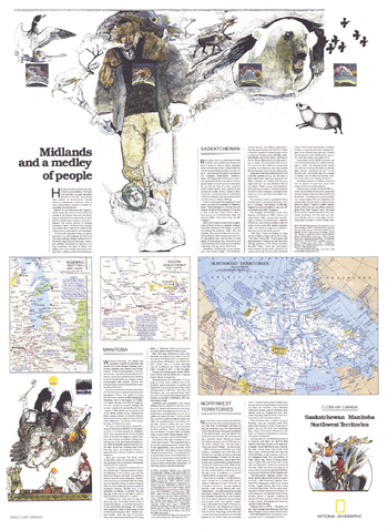
Saskatchewan and Manitoba - Published 1979
National Geographic
Published in May 1979 as half of a two-map set showcasing Canada's midland provinces, the "Saskatchewan, Manitoba, Northwest Territories: Midlands and a Medley of People" map provides a remarkable amount of tourist information about this diverse region. Whether it's fishing and canoeing in the region's countless lakes or attending festivals like Manitoba's Folklorama, these provinces have plenty of interesting activities to keep you busy.
Page Size: 22.75 x 31 in (574 x 783 mm)
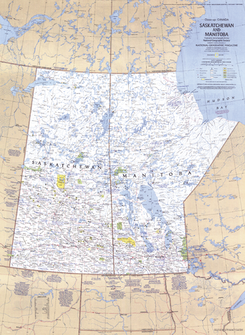
Saskatchewan and Manitoba Canada - Published 1979
National Geographic
This travel map of the Canadian provinces of Saskatchewan and Manitoba shows hundreds of national parks, wilderness areas, campgrounds, and ski resorts. It also highlights points of interest in cities such as Winnipeg and Regina. Published in May 1979.
Page Size: 22.75 x 31 in (574 x 783 mm)
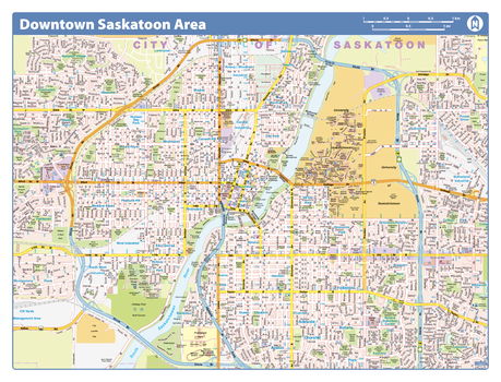
Saskatoon Downtown - Compact
Lucidmap
Map of downtown Saskatoon showing all roads, road names, political boundaries, transit, points of interest, parks, schools, churches, public buildings and landmarks.
Page Size: 21.5 x 16.25 in (546 x 413 mm)
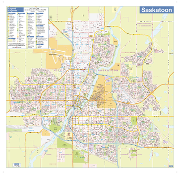
Saskatoon Wall Map - Street Detail
Lucidmap
This wall map shows highly detailed local information for the city of Saskatoon. Full street labeling along with transit information, parks, schools, churches and landmarks throughout the city are displayed.
The map has been designed in a very clear and legible manner with a traditional Canadian street map style embraced by map buyers over many years.
Page Size: 28 x 27 in (711 x 686 mm)
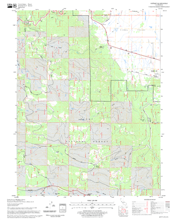
Sattley Quadrangle, California
United States Forest Service
United States Department of Agriculture Forestry Service topographical map of Sattley, Tahoe National Forest, California.
Page Size: 21.75 x 27 in (552 x 686 mm)

Saturn - Published 1981
National Geographic
This image of Saturn, taken from Voyager 1's closest encounter with the ringed planet, was published in the July 1981 issue of National Geographic. It appeared with a map of the solar system and the article "Voyager 1 at Saturn: Riddles of the Rings."
Page Size: 22.5 x 17 in (569 x 429 mm)
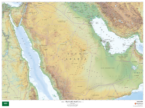
Saudi Arabia
MapSherpa
This beautiful map shows physical and political features for Saudi Arabia and surrounding areas. Relief shading and the use of different colours by height above sea level are both informative and attractive.
Page Size: 48 x 36 in (1219 x 914 mm)
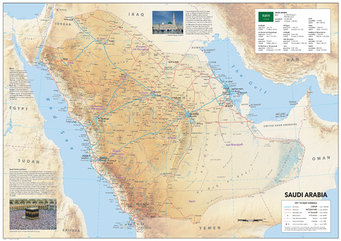
Saudi Arabia
Sparrow Maps
A detailed physical map showing relief features on land with administrative districts, capital cities,
roads and airports. Place names are in the local form with conventional equivalents for major
features. A table of data shows area and population for the provinces and the national flag.
Illustrated texts explain the significance of the Holy Sites of Islam and a panel of information
Itemizes the futuristic aspirations of construction projects at Neom.
Page Size: 47 x 33.25 in (1189 x 841 mm)
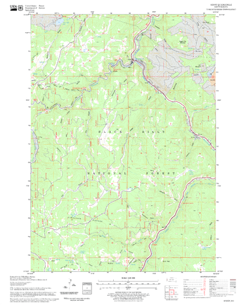
Savoy Quadrangle, South Dakota
United States Forest Service
United States Department of Agriculture Forestry Service topographical map of Savoy, Black Hills National Forest, South Dakota.
Page Size: 21.75 x 27 in (552 x 686 mm)
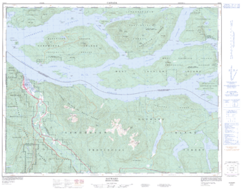
Sayward - 92 K/5 - British Columbia
Natural Resources Canada
Canadian topographic map of Sayward, British Columbia. NTS sheet 092K05 Edition 2.
Page Size: 32.25 x 25.25 in (814 x 640 mm)
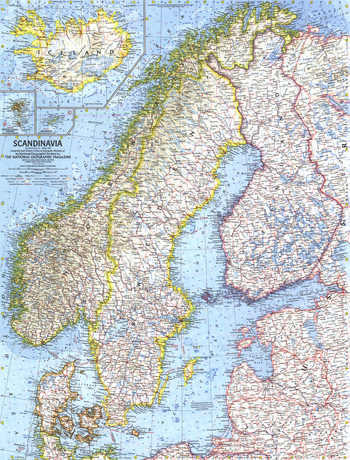
Scandinavia - Published 1963
National Geographic
This detailed look at Scandinavia includes subtle relief, ocean bathymetry as well as various transportation routes including ferries. Published in April 1963 with the article "Sweden, Quiet Workshop of the World."
Page Size: 19 x 25 in (480 x 631 mm)
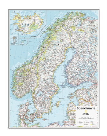
Scandinavia - Atlas of the World, 10th Edition
National Geographic
Estonia, Faroe Is. (Den.), Finland, Iceland, Latvia, Lithuania, Norway, Sweden
Page Size: 22 x 28 in (559 x 711 mm)
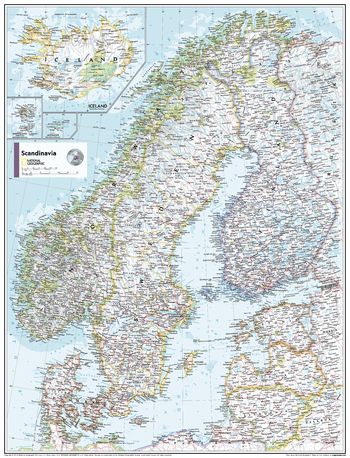
Scandinavia - Atlas of the World, 11th Edition
National Geographic
This Scandinavia map of physical and political features can fit in any space. Showcasing the countries in stunning detail with state-of-the-art cartographic techniques delivering accuracy and exceptional quality, the innovative and engaging design makes the content easily accessible and user-friendly.
Ideal for classrooms with an emphasis on teaching geography or environmental themes. The inclusion of physical features gives your students a genuine feel for how our world appears.
This map uses a bright, easy to read color palette featuring blue oceans and stunning shaded relief that has been featured on National Geographic wall maps for over 75 years. It is drawn in Conic projection, in which an area of the earth is projected onto a cone whose vertex is usually above one of the poles, then unrolled onto a flat surface.
Names of geographic features are carefully placed on the map to maintain legibility. Insets of Iceland, the Faroe Islands and Jan Mayen Islands add to this classic map.
This map is found in National Geographic's 11th Edition World Atlas and is now available as a stand alone product.
Page Size: 24 x 31.5 in (610 x 798 mm)
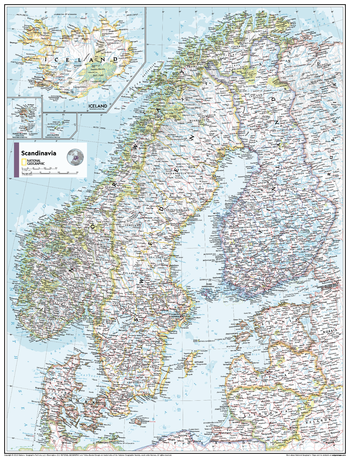
Scandinavia - Atlas of the World, 11th Edition - Compact
National Geographic
This Scandinavia map of physical and political features can fit in any space. Showcasing the countries in stunning detail with state-of-the-art cartographic techniques delivering accuracy and exceptional quality, the innovative and engaging design makes the content easily accessible and user-friendly.
Ideal for classrooms with an emphasis on teaching geography or environmental themes. The inclusion of physical features gives your students a genuine feel for how our world appears.
This map uses a bright, easy to read color palette featuring blue oceans and stunning shaded relief that has been featured on National Geographic wall maps for over 75 years. It is drawn in Conic projection, in which an area of the earth is projected onto a cone whose vertex is usually above one of the poles, then unrolled onto a flat surface.
Names of geographic features are carefully placed on the map to maintain legibility. Insets of Iceland, the Faroe Islands and Jan Mayen Islands add to this classic map.
This map is found in National Geographic's 11th Edition World Atlas and is now available as a stand alone product.
Page Size: 16.25 x 21.5 in (413 x 540 mm)
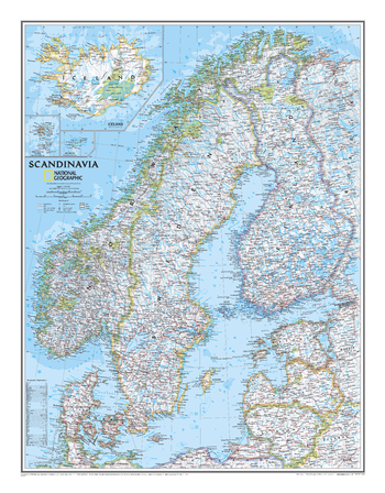
Scandinavia Classic
National Geographic
National Geographic's wall map of Scandinavia is one of the largest and most detailed maps of the region. The signature Classic style design uses a bright, easy-to-read color palette. This map features thousands of place names, accurate political boundaries, national parks, and major infrastructure networks such as roads, superhighways, airports, canals, ferry routes, and high-speed and passenger railroads. The region's diverse terrain is detailed through accurate shaded relief, coastal bathymetry, and symbolism for water features and other land forms. Elevations of major peaks and depth soundings are expressed in meters. Inset maps provide detail of Iceland, the Faroe Islands, and Jan Mayen. In addition to Norway, Sweden, and Finland, coverage includes Denmark, Lithuania, Latvia, Estonia, and Kaliningrad Oblast.
Page Size: 23.5 x 30.25 in (597 x 768 mm)
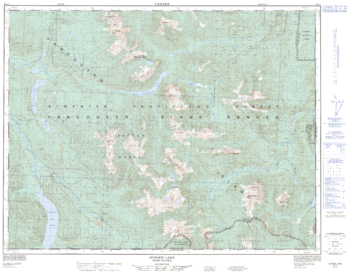
Schoen Lake - 92 L/1 - British Columbia
Natural Resources Canada
Canadian topographic map of Schoen Lake, British Columbia. NTS sheet 092L01 Edition 4.
Page Size: 32.25 x 25.25 in (817 x 641 mm)
No search results