


MapSherpa Catalog
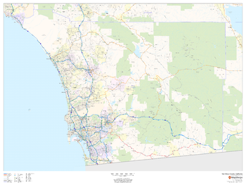
San Diego County, California
MapSherpa
This map of San Diego County, California shows regional level information. Base map features include highways and major roads with labelling; railways; high level land use such as parks and recreation areas; and a selection of points of interest including transportation hubs like airports and train stations, tourist information and police stations.
Page Size: 48 x 36 in (1219 x 914 mm)
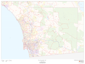
San Diego County, California ZIP Codes
MapSherpa
This map of San Diego County, California shows ZIP code areas overlaid on a road map. Ideal for planning of deliveries, home services, sales territories, real estate and much more. Base map features include all roads with major roads and highways labelled; neighborhood names; railways; and high level land use such as parks and recreation areas, industrial areas and hospital campuses.
Page Size: 48 x 36 in (1219 x 914 mm)
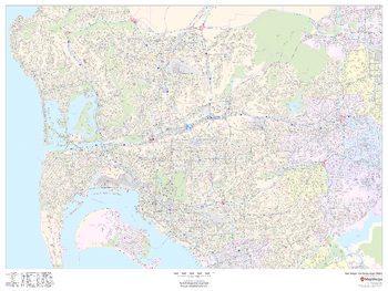
San Diego, California Inner Metro - Landscape
MapSherpa
This landscape-oriented map of central San Diego, California shows detailed street level information including extensive street labeling. Ideal for planning of deliveries, home services, sales territories, real estate and much more. Base map features include all roads with major roads and highways labelled; neighborhood names; railways; high level land use such as parks and recreation areas, industrial areas and hospital campuses; and a variety of points of interest including schools, libraries, stadiums, museums, border crossings and more.
Page Size: 48 x 36 in (1219 x 914 mm)
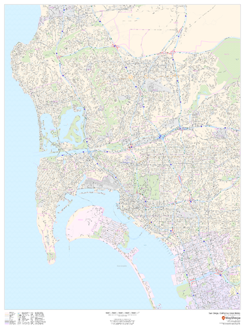
San Diego, California Inner Metro - Portrait
MapSherpa
This portrait-oriented map of central San Diego, California shows detailed street level information including extensive street labeling. Ideal for planning of deliveries, home services, sales territories, real estate and much more. Base map features include all roads with major roads and highways labelled; neighborhood names; railways; high level land use such as parks and recreation areas, industrial areas and hospital campuses; and a variety of points of interest including schools, libraries, stadiums, museums, border crossings and more.
Page Size: 36 x 48 in (914 x 1219 mm)
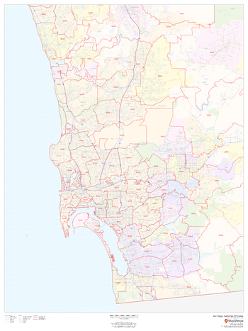
San Diego, California ZIP Codes
MapSherpa
This map of San Diego shows ZIP code areas overlaid on a road map. Ideal for planning of deliveries, home services, sales territories, real estate and much more. Base map features include all roads with major roads and highways labelled; neighborhood names; railways; and high level land use such as parks and recreation areas, industrial areas and hospital campuses.
Page Size: 36 x 48 in (914 x 1219 mm)
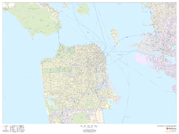
San Francisco, California Inner Metro - Landscape
MapSherpa
This landscape-oriented map of central San Francisco, California shows detailed street level information including extensive street labeling. Ideal for planning of deliveries, home services, sales territories, real estate and much more. Base map features include all roads with major roads and highways labelled; neighborhood names; railways; high level land use such as parks and recreation areas, industrial areas and hospital campuses; and a variety of points of interest including schools, libraries, stadiums, museums, border crossings and more.
Page Size: 48 x 36 in (1219 x 914 mm)
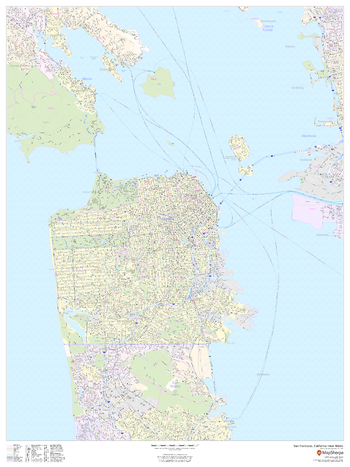
San Francisco, California Inner Metro - Portrait
MapSherpa
This portrait-oriented map of central San Francisco, California shows detailed street level information including extensive street labeling. Ideal for planning of deliveries, home services, sales territories, real estate and much more. Base map features include all roads with major roads and highways labelled; neighborhood names; railways; high level land use such as parks and recreation areas, industrial areas and hospital campuses; and a variety of points of interest including schools, libraries, stadiums, museums, border crossings and more.
Page Size: 36 x 48 in (914 x 1219 mm)
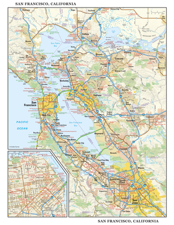
San Francisco, California Wall Map, large
Globe Turner
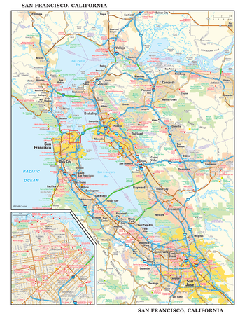
This detailed reference map combines two maps in one - a regional map of the San Francisco Bay area plus a street-level map of downtown San Francisco. The regional map includes the major metropolitan areas of San Francisco, Oakland, and San Jose. The area's cities and towns, highways and roads, and a variety of points of interest are depicted. The map is beautifully rendered with terrain relief. The inset map of downtown San Francisco shows highways, streets, cable car lines, parks, landmarks, and other points of interest. Chinatown, Telegraph Hill, Nob Hill, and North Beach are among the neighborhoods shown on this map. Also available in a large size of 29.00" high X 22.50" wide.
Page Size: 22.75 x 29 in (572 x 737 mm)
San Francisco, California Wall Map, small
Globe Turner
This detailed reference map combines two maps in one - a regional map of the San Francisco Bay area plus a street-level map of downtown San Francisco. The regional map includes the major metropolitan areas of San Francisco, Oakland, and San Jose. The area's cities and towns, highways and roads, and a variety of points of interest are depicted. The map is beautifully rendered with terrain relief. The inset map of downtown San Francisco shows highways, streets, cable car lines, parks, landmarks, and other points of interest. Chinatown, Telegraph Hill, Nob Hill, and North Beach are among the neighborhoods shown on this map. Also available in a large size of 29.00" high X 22.50" wide.
Page Size: 11.25 x 14.5 in (286 x 368 mm)
San Francisco, California ZIP Codes
MapSherpa
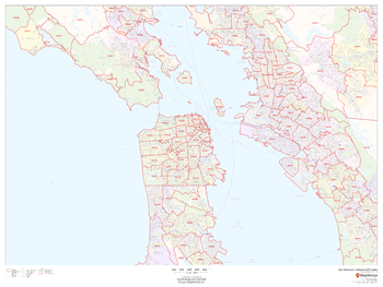
This map of San Francisco shows ZIP code areas overlaid on a road map. Ideal for planning of deliveries, home services, sales territories, real estate and much more. Base map features include all roads with major roads and highways labelled; neighborhood names; railways; and high level land use such as parks and recreation areas, industrial areas and hospital campuses.
Page Size: 48 x 36 in (1219 x 914 mm)
San Josef - 102 I/9 - British Columbia
Natural Resources Canada
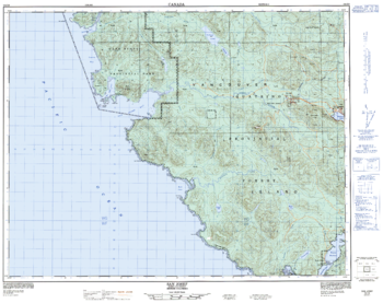
Canadian topographic map of San Josef, British Columbia. NTS sheet 102I09 Edition 3.
Page Size: 32 x 25.25 in (808 x 641 mm)
San José, California Inner Metro - Landscape
MapSherpa
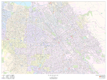
This landscape-oriented map of central San José, California shows detailed street level information including extensive street labeling. Ideal for planning of deliveries, home services, sales territories, real estate and much more. Base map features include all roads with major roads and highways labelled; neighborhood names; railways; high level land use such as parks and recreation areas, industrial areas and hospital campuses; and a variety of points of interest including schools, libraries, stadiums, museums, border crossings and more.
Page Size: 48 x 36 in (1219 x 914 mm)
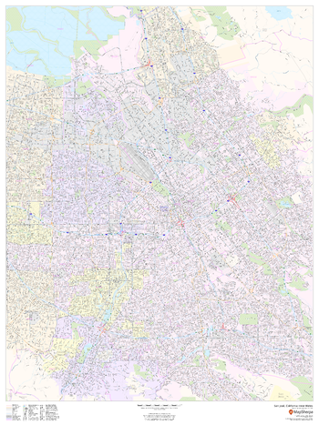
San José, California Inner Metro - Portrait
MapSherpa
This portrait-oriented map of central San José, California shows detailed street level information including extensive street labeling. Ideal for planning of deliveries, home services, sales territories, real estate and much more. Base map features include all roads with major roads and highways labelled; neighborhood names; railways; high level land use such as parks and recreation areas, industrial areas and hospital campuses; and a variety of points of interest including schools, libraries, stadiums, museums, border crossings and more.
Page Size: 36 x 48 in (914 x 1219 mm)
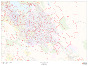
San José, California ZIP Codes
MapSherpa
This map of San Jose shows ZIP code areas overlaid on a road map. Ideal for planning of deliveries, home services, sales territories, real estate and much more. Base map features include all roads with major roads and highways labelled; neighborhood names; railways; and high level land use such as parks and recreation areas, industrial areas and hospital campuses.
Page Size: 48 x 36 in (1219 x 914 mm)
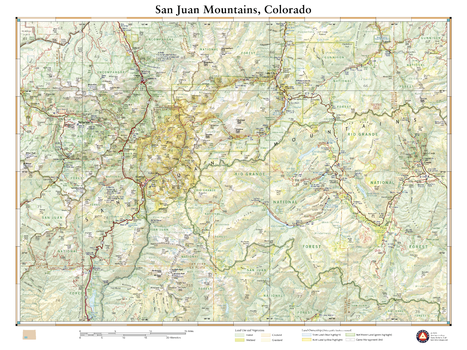
San Juan Mountains Colorado
Benchmark Maps
This wall map illustrates the rugged San Juan mountain range in southwestern Colorado. Far removed from Colorado’s bustling Front Range cities, the San Juans host many unique mountain towns including Ouray, Telluride, Silverton, Creede, and Lake City. Map features include public land boundaries, recreation points of interest, and the network of highways and back roads that provide access to this secluded region.
Page Size: 26 x 34.75 in (660 x 881 mm)
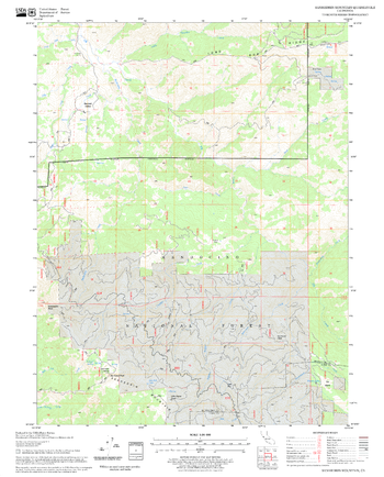
Sanhedrin Mountain Quadrangle, California
United States Forest Service
United States Department of Agriculture Forestry Service topographical map of Sanhedrin Mountain, Mendocino National Forest, California.
Page Size: 21.75 x 27 in (552 x 686 mm)
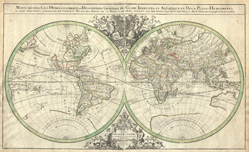
Sanson Map of the World on Hemisphere Projection (1691)
Artokoloro
1691 hemisphere map of the World by French cartographer Nicolas Sanson. Full title: Mappe-monde: Geo-Hydrographique, ou Description Generale du Globe Terrestre et Aquatique en Deux-Plans-Hemipsheres, ou sont exactement remarquées en General Toutes les Parties de la Terre et de L'Eau, suivant les Relations les plus Nouvelles. Par le Sr. Sanson Geographe Ordinaire du Roy.
Page Size: 23 x 14 in (579 x 354 mm)
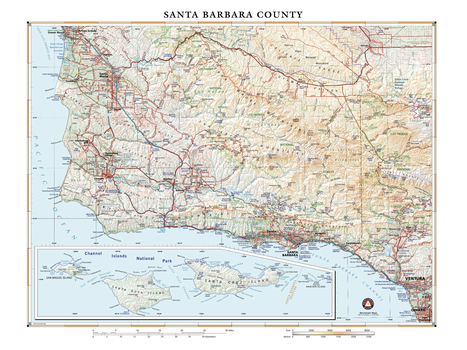
Santa Barbara County California
Benchmark Maps
Santa Barbara County is an area of diverse geology and ecology, marking the transition between northern and southern California. Much but not all of the natural coastal area and habitats have been protected from development, save a few ranches. And nearly 25,000 additional acres of pristine California coastline will now be protected indefinitely, thanks to a recent $165 million donation to The Nature Conservancy by Jack & Laura Dangermond, co-founders of Esri. This area, adjacent to the Los Padres National Forest, will now serve as a nature preserve and scientific laboratory for the University of California – Santa Barbara.
Page Size: 24 x 32 in (610 x 813 mm)
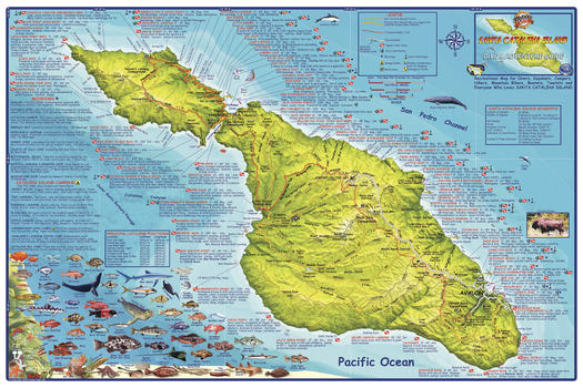
Santa Catalina Island, California Wall Map
Franko Maps
A shaded relief topographic map of this recreational destination. Shows dirt roads, dive sites, snorkel sites, moorings, campground, anchorages, the Trans-Catalina Trail and more. Locations, names and descriptions of diving and snorkeling sites. Colorful illustrations of fish and other creatures found in the Catalina waters.
Page Size: 36 x 24 in (914 x 610 mm)
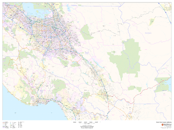
Santa Clara County, California
MapSherpa
This map of Santa Clara County, California shows regional level information. Base map features include highways and major roads with labelling; railways; high level land use such as parks and recreation areas; and a selection of points of interest including transportation hubs like airports and train stations, tourist information and police stations. ZIP code boundaries are shown as a secondary map feature.
Page Size: 48 x 36 in (1219 x 914 mm)
No search results