


MapSherpa Catalog
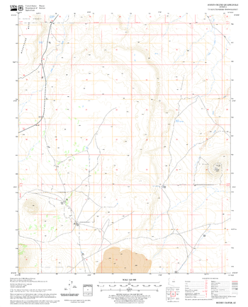
Roden Crater Quadrangle, Arizona
United States Forest Service
United States Department of Agriculture Forestry Service topographical map of Roden Crater, Coconino National Forest, Arizona.
Page Size: 21.75 x 27 in (552 x 686 mm)
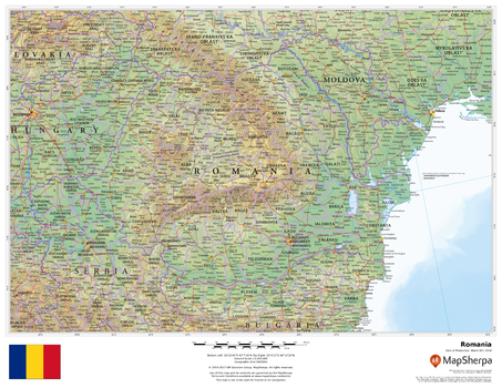
Romania
MapSherpa
This beautiful map shows physical and political features for Romania and surrounding areas. Relief shading and the use of different colours by height above sea level are both informative and attractive.
Page Size: 22 x 17 in (559 x 432 mm)
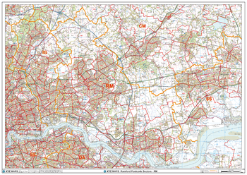
Romford - RM - Postcode Wall Map
XYZ Maps
The Romford Postcode Sector Wall Map shows detailed postcode sector boundaries (RM1 1, RM1 2) on a comprehensive background and is perfect for determining postcode boundaries for sales areas, planning mailshots and also an excellent reference for logistics. This wall map covers the whole of the RM Postcode Area.
Page Size: 47 x 33.25 in (1189 x 841 mm)
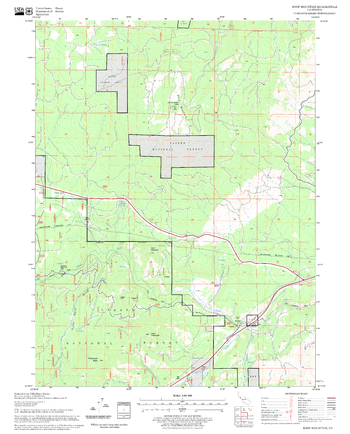
Roop Mountain Quadrangle, California
United States Forest Service
United States Department of Agriculture Forestry Service topographical map of Roop Mountain, Lassen National Forest, California.
Page Size: 21.75 x 27 in (552 x 686 mm)
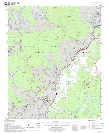
Rosman Quadrangle, North Carolina
United States Forest Service
United States Department of Agriculture Forestry Service topographical map of Rosman, Pisgah National Forest, North Carolina.
Page Size: 21.75 x 27 in (552 x 686 mm)
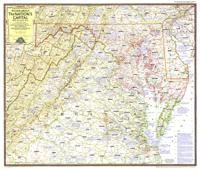
Round About the Nation's Capital - Published 1956
National Geographic
This map of Washington D.C. and its surrounds is chock full of descriptive notes about the region, including its history, geographical features, places of interest, and other fascinating facts. Includes Maryland, Virginia, and Delaware, and parts of Pennsylvania, West Virginia, and New Jersey. Published in April 1956.
Page Size: 34 x 29 in (862 x 733 mm)
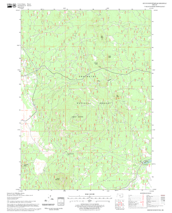
Round Mountain Quadrangle, Oregon
United States Forest Service
United States Department of Agriculture Forestry Service topographical map of Round Mountain, Deschutes National Forest, Oregon.
Page Size: 21.75 x 27 in (552 x 686 mm)
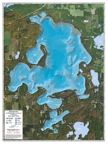
Round lake
Mapping Specialists
An Attractive map of the lake showing a visual 3D representation of the lake bottom. Includes boat launches, rock area and vegetation. Land area is high resolution aerial imagery.
Page Size: 27.75 x 37.25 in (705 x 943 mm)
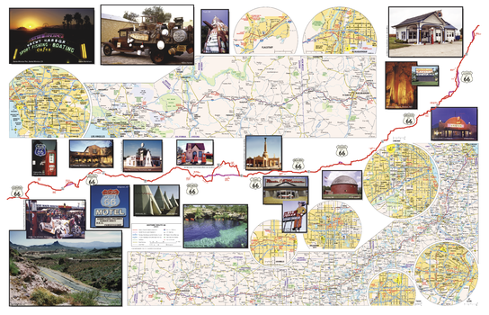
Route 66 Travel Map
GM Johnson
Route 66 Travel Map. Also Includes History of Route 66
Page Size: 28 x 18 in (711 x 457 mm)

Routes of Explorers (1906)
Natural Resources Canada
Contained within the 1st Edition (1906) of the Atlas of Canada is a map that shows the routes followed by the principal explorers from 1497 up to 1905. Each route is marked as a red line on the map, giving the name of the explorer or company, and when that person travelled along the route. The map also provides the dates of the founding principal forts and trading posts of the French, Hudson's Bay and North West Companies.
Page Size: 24 x 17.25 in (609 x 432 mm)
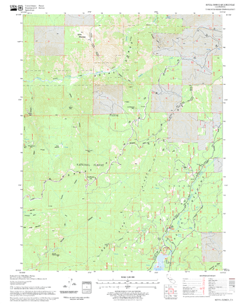
Royal Gorge Quadrangle, California
United States Forest Service
United States Department of Agriculture Forestry Service topographical map of Royal Gorge, Tahoe National Forest, California.
Page Size: 21.75 x 27 in (552 x 686 mm)
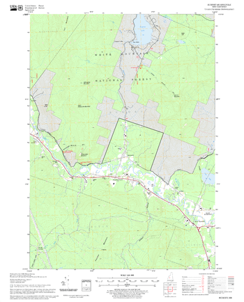
Rumney Quadrangle, New Hampshire-Vermont
United States Forest Service
United States Forestry Service topographical map of Rumney, New Hampshire-Vermont
Page Size: 21.75 x 27 in (552 x 686 mm)
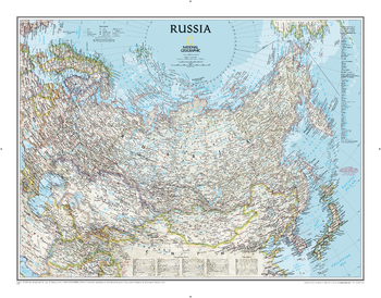
Russia Classic
National Geographic
National Geographic's political map of Russia and the independent states of the former Soviet Union is one of the most authoritative maps of region. This Classic style wall map features a bright color palette with blue oceans and the country's terrain detailed in stunning shaded relief that has been a hallmark of National Geographic maps for over 75 years. Thousands of place names, accurate political boundaries, bodies of water, and major infrastructure networks such as roadways, airports, canals, oil pipelines, and railroads are detailed. Coastal bathymetry is shown with depth curves and soundings, and the boundaries of Northern Sea shipping routes are marked as well. Coverage also includes Norway, Sweden, Finland, Denmark, Latvia, Lithuania, Estonia, Ukraine, Belarus, Georgia, Armenia, Azerbaijan, Turkmenistan, Uzbekistan, Kazakhstan, Kyrgyzstan, Tajikistan, Afghanistan, Mongolia, North Korea, South Korea, and Japan, as well as portions of Germany, Poland, Iran, Pakistan, and China.
Page Size: 30.5 x 23.75 in (770 x 600 mm)
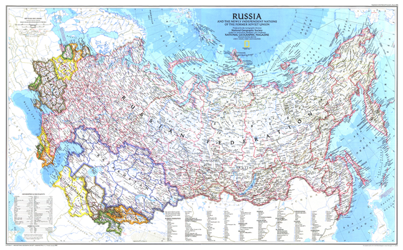
Russia and the Newly Independent Nations of the Former Soviet Union - Published 1993
National Geographic
This attractive map of Russia highlights the new landscape of nations that emerged in Europe and Asia following the end of the Cold War and the dissolution of the Soviet Union. Published in March 1993 as half of a two-map set with "Communism to Capitalism."
Page Size: 35.75 x 22.25 in (903 x 560 mm)
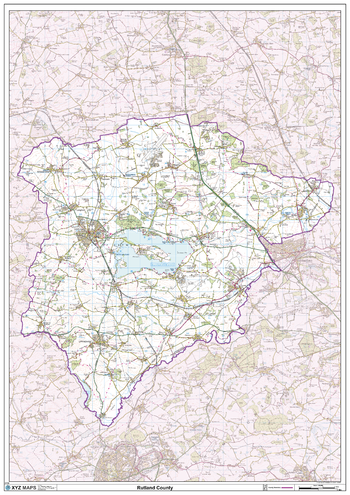
Rutland County Map
XYZ Maps
This is a large ceremonial county map of Rutland highlighting the county border, with the surrounding area faded out for excellent contrast. The map covers Oakham and Uppingham. The county map shows the latest County and Unitary Authority Boundaries, Overlaid on a Clear and Easy to Read Ordnance Survey map.
Page Size: 33.25 x 47 in (841 x 1189 mm)
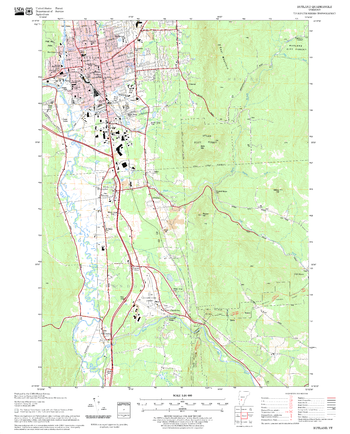
Rutland Quadrangle, New Hampshire-Vermont
United States Forest Service
United States Forestry Service topographical map of Rutland, New Hampshire-Vermont
Page Size: 21.75 x 27 in (552 x 686 mm)
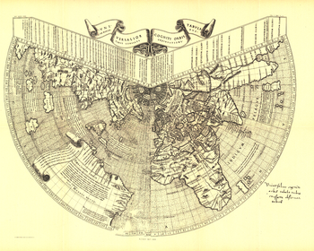
Ruysch 1508 Map - Published 1893
National Geographic
One of the first maps of the new world, Johannes Ruysch made this map, using a polar projection, which includes an extensive view of South America, islands of the West Indies, and a portion of North America. The World Map from Ruysch appeared for the first time among the Tabulae Novae in some copies of the 1507 Rome edition of Ptolemy's Geography. Ruysch's map illustrates a number of significant geographic features more correctly than before, especially along the easterly sea route to the Orient which was of prime importance to early sixteenth-century Europeans. An incredible historical piece.
Page Size: 23 x 18.5 in (581 x 464 mm)
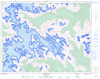
Ryan River - 92 J/6 - British Columbia
Natural Resources Canada
Canadian topographic map of Ryan River, British Columbia. NTS sheet 092J06 Edition 1.
Page Size: 32 x 25.25 in (812 x 641 mm)
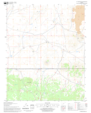
S P Mountain Quadrangle, Arizona
United States Forest Service
United States Department of Agriculture Forestry Service topographical map of S P Mountain, Coconino National Forest, Arizona.
Page Size: 21.75 x 27 in (552 x 686 mm)
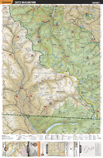
SOAB01 Castle Wildland Park - Southern Alberta Topo
Backroad Mapbooks
This recreation topographic map for the Castle Wildland Park area highlights all the logging and resource roads, multi-use trails for hikers, mountain bikers, horseback riders, cross-country skiers and snowshoers, motorized trails for ATVers and snowmobilers, fishing lakes and rivers, recreation areas, campgrounds, day-use areas, viewpoints, backcountry campsites, work camps, oil & gas sites, backcountry huts and cabins and more. No other map for the area provides you with this level of recreational or topographic detail. Covering 2,465 km2 (950 mi2) in total, this 1:75,000 scale map measures 43 x 57 km (27 x 35.5 mi). Special features include Crown Forest Management Areas, Public Land Use Zones, labelled fish species, enhanced oil & gas data and countless roads, trails and recreational Points of Interest. This map includes Akamina-Kishinena Provincial Park, Beauvais Lake Provincial Park, Beaver Mines Lake, Carbondale River, Castle Special Management Area, Gladstone Valley, Great Divide Trail, Mount Blakiston, Sage Mountain, Waterton Lakes National Park and more!
Page Size: 24 x 37 in (610 x 940 mm)
No search results