


MapSherpa Catalog
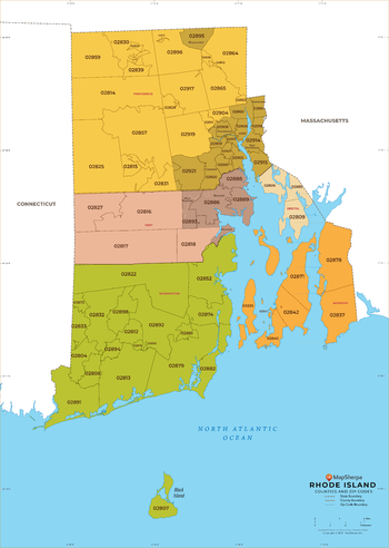
Rhode Island ZIP Code Map with Counties - Large
MapSherpa
This map has been created exclusively for MapSherpa, and designed for business or reference use. Clear and clean colors & fonts matched with cartographic research makes this map of Rhode Island's counties and ZIP codes easily readable and useful.
Page Size: 48 x 67.5 in (1219 x 1713 mm)
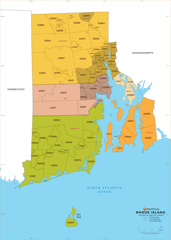
Rhode Island ZIP Code Map with Counties - Standard
MapSherpa
This map has been created exclusively for MapSherpa, and designed for business or reference use. Clear and clean colors & fonts matched with cartographic research makes this map of Rhode Island's counties and ZIP codes easily readable and useful.
Page Size: 36 x 50.75 in (914 x 1284 mm)
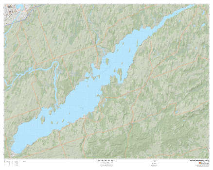
Rice Lake, Peterborough, Ontario
MapSherpa
A cartographically beautiful map of Rice Lake, Peterborough, Ontario ideal for showing off cottages, resorts, lakes and other favourite places.
Page Size: 60 x 48 in (1524 x 1219 mm)
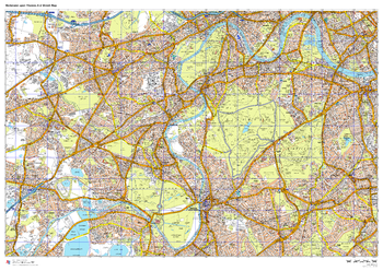
Richmond upon Thames A-Z Street Map
A-Z Maps
This up-to-date A-Z street map covers the London Borough of Richmond upon Thames, including the districts of Barnes, Hampton, Mortlake, Richmond, Twickenham and Teddington. Coverage also extends to parts of neighbouring areas, icluding Kingston upon Thames and Wimbledon.
Page Size: 47 x 33.25 in (1189 x 841 mm)

Riding Mountain National Park
GoTrekkers
Riding Mountain National Park
Page Size: 41.5 x 26.5 in (1054 x 673 mm)
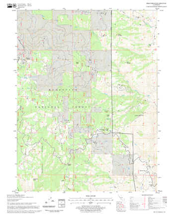
Riley Ridge Quadrangle, California
United States Forest Service
United States Department of Agriculture Forestry Service topographical map of Riley Ridge, Mendocino National Forest, California.
Page Size: 21.75 x 27 in (552 x 686 mm)
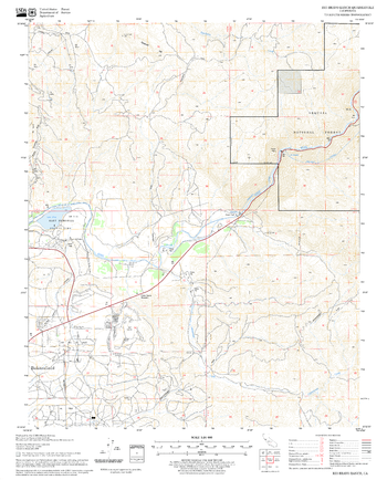
Rio Bravo Ranch Quadrangle, California
United States Forest Service
United States Department of Agriculture Forestry Service topographical map of Rio Bravo Ranch, Sequoia National Forest, California.
Page Size: 21.75 x 27 in (552 x 686 mm)
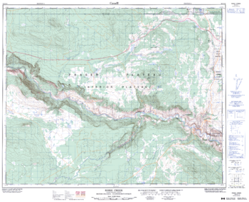
Riske Creek - 92 O/15 - British Columbia
Natural Resources Canada
Canadian topographic map of Riske Creek, British Columbia. NTS sheet 092O15 Edition 3.
Page Size: 31.5 x 25.5 in (796 x 643 mm)
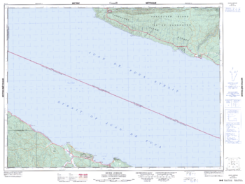
River Jordan - 92 C/8 - British Columbia
Natural Resources Canada
Canadian topographic map of River Jordan, British Columbia. NTS sheet 092C08 Edition 3.
Page Size: 33.75 x 25.5 in (856 x 643 mm)
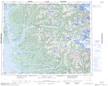
Rivers Inlet - 92 M - British Columbia
Natural Resources Canada
Canadian topographic map of Rivers Inlet, British Columbia. NTS sheet 092M Edition 3.
Page Size: 27.5 x 21.75 in (695 x 551 mm)
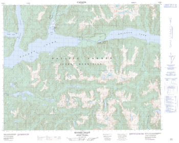
Rivers Inlet - 92 M/11 - British Columbia
Natural Resources Canada
Canadian topographic map of Rivers Inlet, British Columbia. NTS sheet 092M11 Edition 2.
Page Size: 31.25 x 25 in (790 x 635 mm)
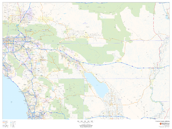
Riverside County, California
MapSherpa
This map of Riverside County, California shows regional level information. Base map features include highways and major roads with highway numbering and high level land use such as parks and recreation areas.
Page Size: 48 x 36 in (1219 x 914 mm)
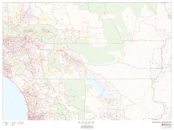
Riverside County, California ZIP Codes
MapSherpa
This map of Riverside County, California shows ZIP code areas overlaid on a road map. Ideal for planning of deliveries, home services, sales territories, real estate and much more. Base map features include all roads with major roads and highways labelled; neighborhood names; and high level land use such as parks and recreation areas, industrial areas and hospital campuses.
Page Size: 48 x 36 in (1219 x 914 mm)
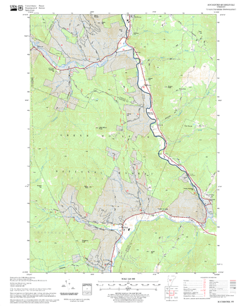
Rochester Quadrangle, New Hampshire-Vermont
United States Forest Service
United States Forestry Service topographical map of Rochester, New Hampshire-Vermont
Page Size: 21.75 x 27 in (552 x 686 mm)
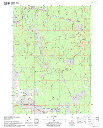
Rochford Quadrangle, South Dakota
United States Forest Service
United States Department of Agriculture Forestry Service topographical map of Rochford, Black Hills National Forest, South Dakota.
Page Size: 21.75 x 27 in (552 x 686 mm)
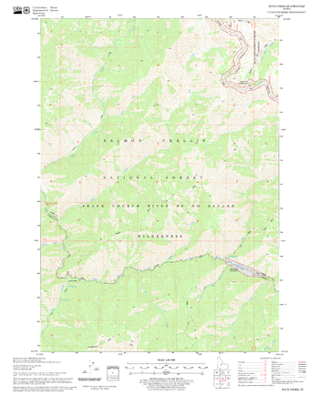
Rock Creek Quadrangle, Idaho
United States Forest Service
United States Department of Agriculture Forestry Service topographical map of Rock Creek, Salmon-Chalis National Forest, Idaho.
Page Size: 21.75 x 27 in (552 x 686 mm)
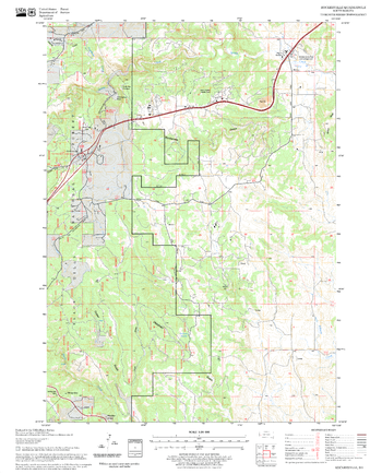
Rockerville Quadrangle, South Dakota
United States Forest Service
United States Department of Agriculture Forestry Service topographical map of Rockerville, Black Hills National Forest, South Dakota.
Page Size: 21.75 x 27 in (552 x 686 mm)
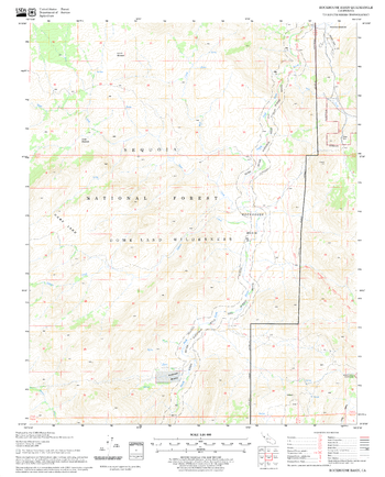
Rockhouse Basin Quadrangle, California
United States Forest Service
United States Department of Agriculture Forestry Service topographical map of Rockhouse Basin, Sequoia National Forest, California.
Page Size: 21.75 x 27 in (552 x 686 mm)
Rockies-Okanagan
Lucidmap
Create custom regional maps in Canada from this series of attractive detailed road maps covering most of the populated areas across Canada. Maps are developed from Lucidmap’s iconic Canadian cartography. Coverage area ranges from Calgary, AB to Penticton, BC east-west, and from the Canada-USA border to Valleyview, AB north-south. The BC-Alberta border and the parks along it are the central features of the map. Native scale is 1:500,000.
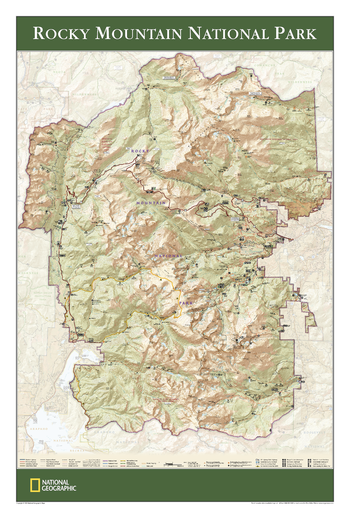
Rocky Mountain National Park - Published 2005
National Geographic
View of the entire Rocky Mountain National Park, based on its popular matching Trails Illustrated map. Rich topographic detail shows the park's magnificent mountains and valleys, as well as trail and road information.
Page Size: 24 x 36 in (610 x 914 mm)
No search results