


MapSherpa Catalog
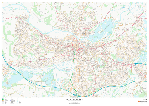
Reading
MapSherpa
This map of Reading shows detailed street level information including extensive street labelling. Ideal for planning of deliveries, home services, sales territories, real estate and much more.
Page Size: 47 x 33.25 in (1189 x 841 mm)
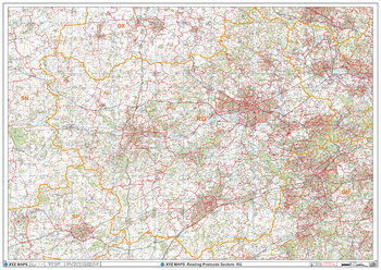
Reading - RG - Postcode Wall Map
XYZ Maps
The Reading Postcode Sector Wall Map shows detailed postcode sector boundaries (RG1 1, RG1 2) on a comprehensive background and is perfect for determining postcode boundaries for sales areas, planning mailshots and also an excellent reference for logistics. This wall map covers the whole of the RG Postcode Area.
Page Size: 47 x 33.25 in (1189 x 841 mm)
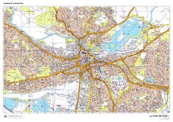
Reading A-Z Street Map
A-Z Maps
This up-to-date A-Z street map includes all of the 1,500 streets in and around Reading.
As well as the city centre and the University of Reading, the other areas covered include Whitley, Coley Park, New Town and Caversham.
Page Size: 33.25 x 23.5 in (841 x 594 mm)
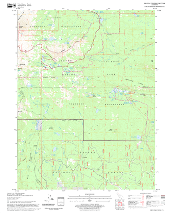
Reading Peak Quadrangle, California
United States Forest Service
United States Department of Agriculture Forestry Service topographical map of Reading Peak, Lassen National Forest, California.
Page Size: 21.75 x 27 in (552 x 686 mm)
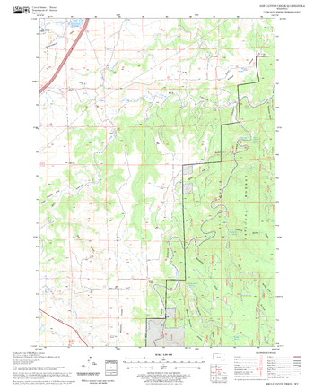
Red Canyon Creek Quadrangle, South Dakota
United States Forest Service
United States Department of Agriculture Forestry Service topographical map of Red Canyon Creek, Black Hills National Forest, South Dakota.
Page Size: 21.75 x 27 in (552 x 686 mm)
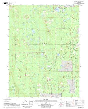
Red Cinder Quadrangle, California
United States Forest Service
United States Department of Agriculture Forestry Service topographical map of Red Cinder, Lassen National Forest, California.
Page Size: 21.75 x 27 in (552 x 686 mm)
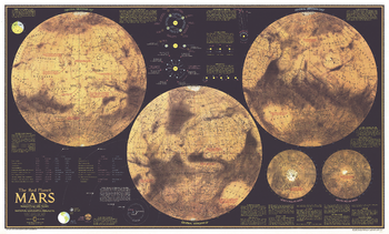
Red Planet Mars - Published 1973
National Geographic
Explore the Red Planet in striking detail with this educational map published in February 1973. This map was half of a two-part piece, appearing with a complete index map entitled "The Dusty Face of Mars" and two additional articles on Mars: "Journey to Mars" and "The Search for Life on Mars." Featuring detailed illustrations of Mars from different angles, this map also contains an abundance of illustrations and information about the planet's physical attributes including atmosphere, surface color, magnetic field, winds, and temperature.
Page Size: 38 x 23 in (962 x 580 mm)
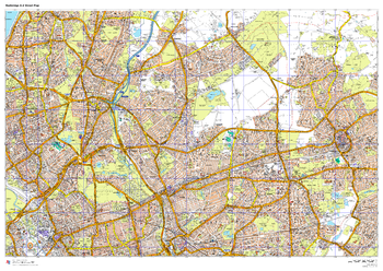
Redbridge A-Z Street Map
A-Z Maps
This up-to-date A-Z street map covers the London Borough of Redbridge, including the districts of Barkingside, Chadwell Heath, Gants Hill, Ilford, Wanstead and Woodford.
Page Size: 47 x 33.25 in (1189 x 841 mm)
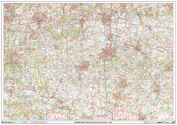
Redhill - RH - Postcode Wall Map
XYZ Maps
The Redhill Postcode Sector Wall Map shows detailed postcode sector boundaries (RH1 1, RH1 2) on a comprehensive background and is perfect for determining postcode boundaries for sales areas, planning mailshots and also an excellent reference for logistics. This wall map covers the whole of the RH Postcode Area.
Page Size: 47 x 33.25 in (1189 x 841 mm)
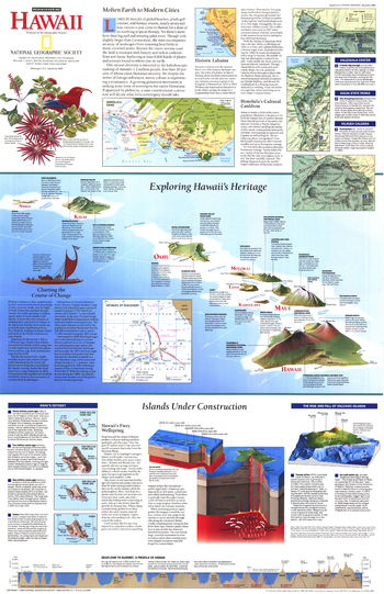
Rediscovering Hawaii - Published 1995
National Geographic
Discover the fascinating islands of Hawaii with this informative map which includes facts about the formation and history of the islands, as well as information about its ethnic and cultural diversity. Published in September 1995 as a companion map for the map of Hawaii printed in the same issue, this work also accompanied the article "On the Brink: Hawaii's Vanishing Species."
Page Size: 20.25 x 31.25 in (513 x 792 mm)
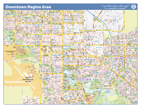
Regina Downtown - Compact
Lucidmap
Map of downtown Regina showing all roads, road names, political boundaries, transit, points of interest, parks, schools, churches, public buildings and landmarks.
Page Size: 21.5 x 16.25 in (546 x 413 mm)
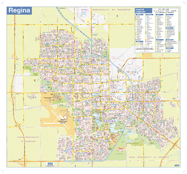
Regina Wall Map - Street Detail
Lucidmap
This wall map shows highly detailed local information for the city of Regina. Full street labeling along with transit information, parks, schools, churches and landmarks throughout the city are displayed.
The map has been designed in a very clear and legible manner with a traditional Canadian street map style embraced by map buyers over many years.
Page Size: 27 x 25 in (686 x 635 mm)
Regional Relief - Antarctica
MapSherpa
Create beautiful maps of any part of the arctic from these detailed relief maps of Antarctica.
Regional Relief - Arctic
MapSherpa
Create beautiful maps of any part of the arctic from these detailed relief maps of the Arctic region.
Regional Relief - Australia & New Zealand
MapSherpa
These beautiful maps show Political and Physical features for Australia and New Zealand. Maps contain extensive country specific features and text. Relief shading and the use of different colors by height above sea level are both informative and attractive. Custom maps can be made at scales between 1:1,000,000 and 1:4,000,000.
Regional Relief - Canada & Northern US
MapSherpa
These beautiful maps show Political and Physical features for Canada and the Northern United States. Maps contain extensive country specific features and text. Relief shading and the use of different colors by height above sea level are both informative and attractive. Custom maps can be made at scales between 1:1,500,000 and 1:6,000,000 scales.
Regional Relief - Central & Eastern Asia
MapSherpa
These beautiful maps show Political and Physical features for Central and Eastern Asia; from the Caspian Sea and Pakistan in the west to Japan and the Philippines in the east. Maps contain extensive country specific features and text. Relief shading and the use of different colors by height above sea level are both informative and attractive. Custom maps can be made at scales between 1:1,650,000 and 1:6,600,000.
Regional Relief - Central America & Caribbean
MapSherpa
These beautiful maps show Political and Physical features for Central America & Caribbean. Maps contain extensive country specific features and text. Relief shading and the use of different colors by height above sea level are both informative and attractive. Custom maps can be made at scales between 1:1,250,000 and 1:5,000,000.
Regional Relief - Middle East
MapSherpa
These beautiful maps show Political and Physical features for the Middle East; from Israel and Jordan in the west to Afghanistan and Pakistan in the east. Maps contain extensive country specific features and text. Relief shading and the use of different colors by height above sea level are both informative and attractive. Custom maps can be made at scales between 1:1,000,000 and 1:4,000,000.
Regional Relief - Northern Africa
MapSherpa
These beautiful maps show Political and Physical features for Northern Africa; from Tunisia in the north to the Democratic Republic of Congo in the south. Maps contain extensive country specific features and text. Relief shading and the use of different colors by height above sea level are both informative and attractive. Custom maps can be made at scales between 1:1,600,000 and 1:6,400,000.
No search results