


MapSherpa Catalog
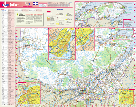
Québec Wall Map, in English
Globe Turner
This colorful, easy-to-read province map of Québec identifies all major thoroughfares, secondary roads, freeway interchanges, rest areas, distance markers, landmarks, recreational areas, and more. Shaded relief on the province map provides a three-dimensional sense of Québec's topography. Detailed city inset maps of Montréal, Québec, Gatineau / Ottawa, ON and Sherbrooke are based on the latest street information from our cartographic experts. The map also includes up-to-date insets of Eastern Québec, Gaspésie, and the Îles-de-la-Madeleine, as well as the latest border crossing information. A city index makes it simple to locate even the smallest town.
Page Size: 19 x 24 in (483 x 610 mm)
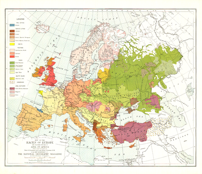
Races of Europe - Published 1918
National Geographic
Published in December 1918 at the close of World War I, this map of the ethnic groups of Europe attempted to show the distributions and relationships of various peoples who inhabited the diverse continent. An article of the same name was printed in the same issue.
Page Size: 25.5 x 22 in (644 x 553 mm)
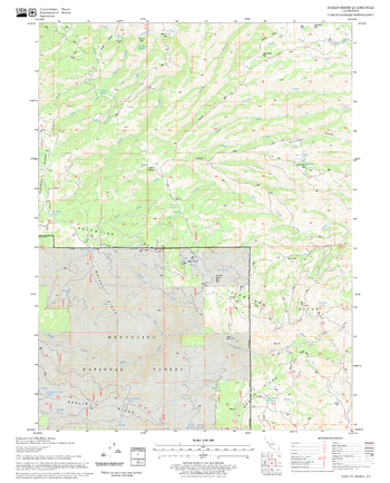
Raglin Ridge Quadrangle, California
United States Forest Service
United States Department of Agriculture Forestry Service topographical map of Raglin Ridge, Mendocino National Forest, California.
Page Size: 21.75 x 27 in (552 x 686 mm)
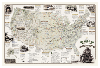
Railroad Legacy Map of the United States
National Geographic
National Geographic's new Railroad Legacy Map of the United States illustrates the many ways railroads have impacted the nation and shaped people's daily lives. From the creation of time zones still used today to the contributions to the country's economic and industrial development, America's railroad legacy is interwoven with the growth of the United States in the 19th and 20th centuries and of the century to come.The map portrays the routes of today's seven Class 1 (major) railroads, Amtrak's passenger routes, as well as those of the more than one hundred Class 1 railroads that ran in 1920 when five percent of the nation's work force - more than 2 million people - were employed by these lines. The map also highlights present-day and 1920 rail hubs along with text and illustrations of key events in America's railroad history such as the opening of New York City's Grand Central Terminal in 1913 and the last Class I line to employ steam locomotives in 1960. Notable sites such as tunnels, train spotting locations, and railroad museums are also included on this map.
Page Size: 36 x 24 in (914 x 610 mm)

Railways British Columbia and Yukon (1906)
Natural Resources Canada
Contained within the 1st Edition (1906) of the Atlas of Canada is a map that shows the rail companies that operated in for British Columbia and Yukon circa 1904. The railway lines are indicated in black, and the territory tributary to each line is shown in colours. An overprint note, in blue, gives some updated information. Any point in the area coloured green, is in a closer proximity to a specific station on the Intercolonial railway, then to a station on any other system. This method is similarly applied to the Mackenzie & Mann System in yellow. The map includes statistics of the mileage, rolling stock, receipts, cost of construction and the cost of maintenance of the various railway lines for 1903-04. Some mileage data is as of 1905. The table also gives the Canadian total for these statistics as of June 30, 1904. The map displays the railway systems running across the border and into part of the U.S., but they do not own or control the Canadian railways.
Page Size: 24 x 17.25 in (610 x 433 mm)

Railways Manitoba, Saskatchewan and Alberta (1906)
Natural Resources Canada
Contained within the 1st Edition (1906) of the Atlas of Canada is a map that shows the rail companies that operated in Saskatchewan, areas of Manitoba and Alberta circa 1904. The railway lines are indicated in black, and the territory tributary to each line is shown in colours. An overprint note, in blue, gives some updated information. Any point in the area coloured green, is in a closer proximity to a specific station on the Intercolonial railway, then to a station on any other system. This method is similarly applied to the other lines. The map includes statistics of the mileage, rolling stock, receipts, cost of construction and the cost of maintenance of the various railway lines for 1903-04. Some mileage data is as of 1905. The table also gives the Canadian total for these statistics as of June 30, 1904. The map displays the railway systems running across the border and into part of the U.S., but they do not own or control the Canadian railways.
Page Size: 24 x 17.25 in (608 x 433 mm)

Railways Ontario and Quebec (1906)
Natural Resources Canada
Contained within the 1st Edition (1906) of the Atlas of Canada is a map that shows the rail companies that operated in Ontario and western Quebec, circa 1904. The railway lines are indicated in black, and the territory tributary to each line is shown in colours. For example, any area coloured green, is in a closer proximity to a specific station on the Intercolonial railway, then to a station on any other system. This method is similarly applied to the other lines. The map includes statistics of the mileage, rolling stock, receipts, cost of construction and the cost of maintenance of the various railway lines for 1903-04. Some mileage data is as of 1905. The table also gives the Canadian total for these statistics as of June 30, 1904. The map displays the railway systems running across the border and into part of the U.S., but they do not own or control the Canadian railways.
Page Size: 24.25 x 17.25 in (610 x 433 mm)

Railways Quebec and Maritime Provinces (1906)
Natural Resources Canada
Contained within the 1st Edition (1906) of the Atlas of Canada is a map that shows the rail companies that operated in the Maritimes and part of Quebec circa 1904. The railway lines are indicated in black, and the territory tributary to each line is shown in colours. For example, any point in the area coloured green, is in a closer proximity to a specific station on the Intercolonial railway, then to a station on any other system. This method is similarly applied to the other lines. The map includes statistics of the mileage, rolling stock, receipts, cost of construction and the cost of maintenance of the various railway lines for 1903-04. The table also gives the Canadian total for these statistics as of June 30, 1904. The map displays the railway systems running across the border and into part of the U.S., but they do not own or control the Canadian railways.
Page Size: 24.25 x 17 in (610 x 431 mm)
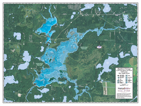
Rainbow Flowage
Mapping Specialists
An Attractive map of the lake showing a visual 3D representation of the lake bottom. Includes boat launches, rock area and vegetation. Land area is high resolution aerial imagery.
Page Size: 37.25 x 27.75 in (943 x 705 mm)
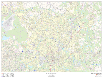
Raleigh, North Carolina Inner Metro - Landscape
MapSherpa
This landscape-oriented map of central Raleigh, North Carolina shows detailed street level information including extensive street labeling. Ideal for planning of deliveries, home services, sales territories, real estate and much more. Base map features include all roads with major roads and highways labelled; neighborhood names; railways; high level land use such as parks and recreation areas, industrial areas and hospital campuses; and a variety of points of interest including schools, libraries, stadiums, museums, border crossings and more.
Page Size: 48 x 36 in (1219 x 914 mm)
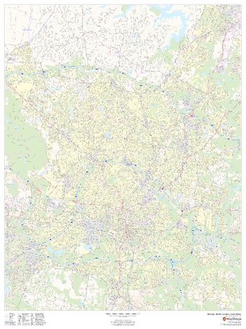
Raleigh, North Carolina Inner Metro - Portrait
MapSherpa
This portrait-oriented map of central Raleigh, North Carolina shows detailed street level information including extensive street labeling. Ideal for planning of deliveries, home services, sales territories, real estate and much more. Base map features include all roads with major roads and highways labelled; neighborhood names; railways; high level land use such as parks and recreation areas, industrial areas and hospital campuses; and a variety of points of interest including schools, libraries, stadiums, museums, border crossings and more.
Page Size: 36 x 48 in (914 x 1219 mm)
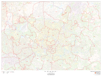
Raleigh, North Carolina ZIP Codes
MapSherpa
This map of Raleigh, North Carolina shows ZIP code areas overlaid on a road map. Ideal for planning of deliveries, home services, sales territories, real estate and much more. Base map features include all roads with major roads and highways labelled; neighborhood names; railways; and high level land use such as parks and recreation areas, industrial areas and hospital campuses.
Page Size: 48 x 36 in (1219 x 914 mm)

Ram Falls Area
GoTrekkers
Ram Falls Area
Page Size: 32.5 x 41.5 in (826 x 1054 mm)
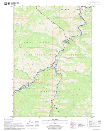
Ramey Hill Quadrangle, Idaho
United States Forest Service
United States Department of Agriculture Forestry Service topographical map of Ramey Hill, Salmon-Chalis National Forest, Idaho.
Page Size: 21.75 x 27 in (552 x 686 mm)
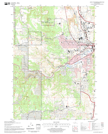
Rapid City West Quadrangle, South Dakota
United States Forest Service
United States Department of Agriculture Forestry Service topographical map of Rapid City West, Black Hills National Forest, South Dakota.
Page Size: 21.75 x 27 in (552 x 686 mm)
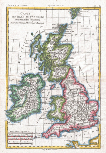
Raynal and Bonne Map of British Isles (1780)
Artokoloro
1780 map of the British Isles by Royal Cartographer to France Rigobert Bonne (1727 - 1794), one of the most important cartographers of the late 18th century. Full title: Carte des Iles Britanniques contenant les Royaumes d'Angleterre, d'Ecosee et d'Irelande.
Page Size: 9.5 x 13.75 in (239 x 347 mm)
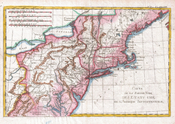
Raynal and Bonne Map of Northern United States (1780)
Artokoloro
1780 map of the Northern United States by Rigobert Bonne (1727 - 1794), one of the most important cartographers of the late 18th century. Full title: Carte de al Partie Nord des Etats Unis de l'Amérique Septentrionale.
Page Size: 13.75 x 9.75 in (347 x 246 mm)
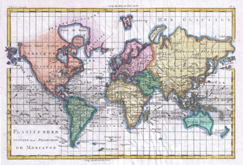
Raynal and Bonne Map of the World (1780)
Artokoloro
1780 map of the World by Rigobert Bonne (1727 - 1794), one of the most important cartographers of the late 18th century. Full title: Planisphere suivante la Projection de Mercator.
Page Size: 13.75 x 9.5 in (347 x 236 mm)
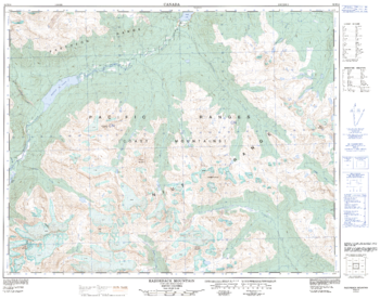
Razorback Mountain - 92 N/10 - British Columbia
Natural Resources Canada
Canadian topographic map of Razorback Mountain, British Columbia. NTS sheet 092N10 Edition 2.
Page Size: 32 x 25.25 in (812 x 640 mm)
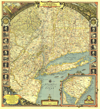
Reaches of New York City - Published 1939
National Geographic
The "Reaches of New York City" map appeared in the April 1939 issue of National Geographic Magazine with an article about Long Island. With its border illustrations of famous people and sites and its artful cartography, this work is perfect for framing.
Page Size: 26.25 x 28.75 in (664 x 728 mm)
No search results