


MapSherpa Catalog

Qausuittuq National Park
GoTrekkers
Qausuittuq National Park
Page Size: 39.5 x 31.5 in (1003 x 800 mm)
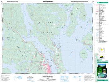
Quadra Island - 92 K/3 - British Columbia
Natural Resources Canada
Canadian topographic map of Quadra Island, British Columbia. NTS sheet 092K03 Edition 3.
Page Size: 34.25 x 26 in (865 x 659 mm)
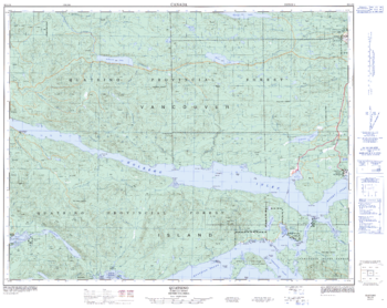
Quatsino - 92 L/12 - British Columbia
Natural Resources Canada
Canadian topographic map of Quatsino, British Columbia. NTS sheet 092L12 Edition 3.
Page Size: 32 x 25.5 in (810 x 642 mm)
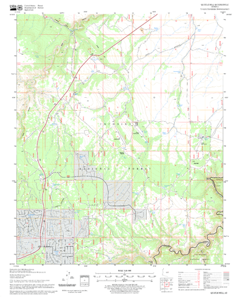
Quayle Hill Quadrangle, Arizona
United States Forest Service
United States Department of Agriculture Forestry Service topographical map of Quayle Hill, Coconino National Forest, Arizona.
Page Size: 21.75 x 27 in (552 x 686 mm)
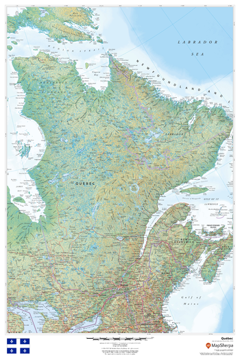
Quebec
MapSherpa
This beautiful map shows physical and political features for Quebec and surrounding areas. Relief shading and the use of different colours by height above sea level are both informative and attractive.
Page Size: 24 x 36 in (610 x 914 mm)
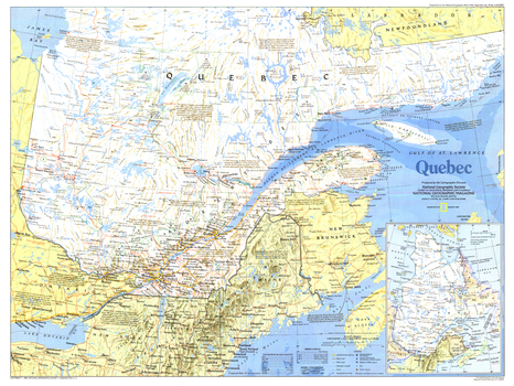
Quebec - Published 1991
National Geographic
Quebec has evolved from its earliest days as a web of fur trading routes to a powerful manufacturing province, thanks to its access to the St. Lawrence River. The French heritage and culture of the region has remained despite attempts at assimilation, making it unique among Canada's provinces. Published in March 1991 as half of a two–map set with "The Making of Canada: Quebec.".
Page Size: 27.25 x 20.5 in (690 x 518 mm)
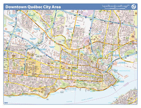
Quebec City Downtown - Compact
Lucidmap
Map of downtown Quebec City showing all roads, road names, political boundaries, transit, points of interest, parks, schools, churches, public buildings and landmarks.
Page Size: 21.5 x 16.25 in (546 x 413 mm)
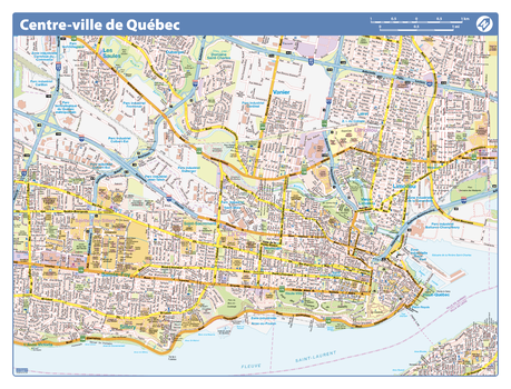
Quebec City Downtown - Compact (French Version)
Lucidmap
Map of downtown Quebec City in French showing all roads, road names, political boundaries, transit, points of interest, parks, schools, churches, public buildings and landmarks.
Page Size: 21.5 x 16.25 in (546 x 413 mm)

Quebec Province Wall Map - South Portion with North Inset
Lucidmap
This bilingual wall map has been designed to show details of the populated areas of Quebec including all highways, cities and towns, major parks, political boundaries, and points of interest.
The map has been designed with a traditional Canadian style embraced by map buyers over many years.
All text is in both French and English.
Page Size: 40 x 28 in (1016 x 711 mm)
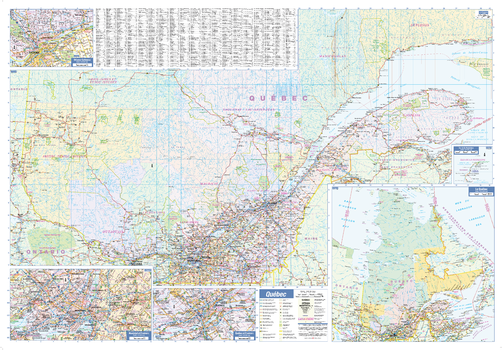
Quebec Province Wall Map - South Portion with North Inset - Large
Lucidmap
This large bilingual wall map has been designed to show details of the populated areas of Quebec including all highways, cities and towns, major parks, political boundaries, and points of interest.
The map has been designed with a traditional Canadian style embraced by map buyers over many years.
All text is in both French and English.
Page Size: 54 x 37.5 in (1372 x 953 mm)

Quebec, St. John, Winnipeg (1906)
Natural Resources Canada
Contained within the 1st Edition (1906) of the Atlas of Canada is a plate that has three maps. The first map is of the city of Quebec, the second map is of the city of St. John and the third map is of the city of Winnipeg. At this time these cities had a population over 25, 000. The map indicates the location of city wards, electric railways, and churches symbolized as crosses.
Page Size: 24.25 x 17.25 in (612 x 434 mm)
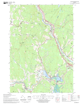
Quechee Quadrangle, New Hampshire-Vermont
United States Forest Service
United States Forestry Service topographical map of Quechee, New Hampshire-Vermont
Page Size: 21.75 x 27 in (552 x 686 mm)
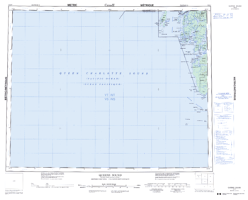
Queen Sound - 102 P - British Columbia
Natural Resources Canada
Canadian topographic map of Queen Sound, British Columbia. NTS sheet 102P Edition 3.
Page Size: 27.75 x 22.5 in (702 x 566 mm)
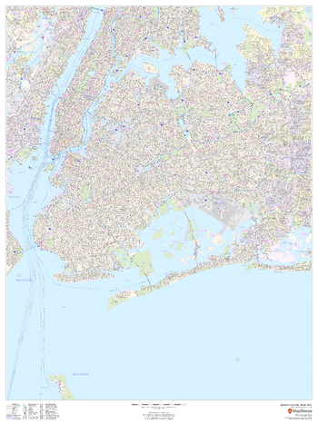
Queens County, New York
MapSherpa
This map of Queens County, New York shows street level information including street labeling. Base map features include all roads with major roads and highways labelled; neighborhood names; railways; high level land use such as parks and recreation areas, industrial areas and hospital campuses; and a variety of points of interest including libraries, stadiums, museums, border crossings and more. ZIP code boundaries are shown as a secondary map feature.
Page Size: 36 x 48 in (914 x 1219 mm)
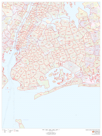
Queens County, New York ZIP Codes
MapSherpa
This map of Queens County, New York shows ZIP code areas overlaid on a road map. Ideal for planning of deliveries, home services, sales territories, real estate and much more. Base map features include all roads with major roads and highways labelled; neighborhood names; railways; and high level land use such as parks and recreation areas, industrial areas and hospital campuses.
Page Size: 36 x 48 in (914 x 1219 mm)

Queensland State Wall Map
Hema Maps
A flat state map of Queensland that is an ideal travel reference and wall map.
Page Size: 28.25 x 40 in (716 x 1016 mm)

Queensland State Wall Map
Hardie Grant
Queensland state map coverage. This map clearly shows dual carriageways, national highways, and other roads, distances between towns, route numbers, towns with an indication of the size of each town and also comprehensive listing of towns, localities & homesteads. Also included are Visitor Information Centres, National, State & Marine Parks . This is an easy to read map that will help you find your way around Queensland with ease and is ideal for both travel & business. Maps are also available for other Australian states & territories for a comprehensive coverage of Australia.
Page Size: 27.25 x 36.25 in (690 x 920 mm)

Queensland Supermap
Hema Maps
A large state map of Queensland that is an ideal travel reference and wall map.
Page Size: 39.5 x 56.5 in (1001 x 1430 mm)
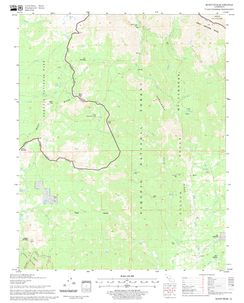
Quinn Peak Quadrangle, California
United States Forest Service
United States Department of Agriculture Forestry Service topographical map of Quinn Peak, Sequoia National Forest, California.
Page Size: 21.75 x 27 in (552 x 686 mm)

Quttinirpaaq National Park
GoTrekkers
Quttinirpaaq National Park
Page Size: 40.5 x 32.5 in (1029 x 826 mm)
No search results