


MapSherpa Catalog
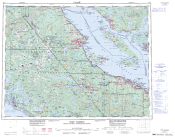
Port Alberni - 92 F - British Columbia
Natural Resources Canada
Canadian topographic map of Port Alberni, British Columbia. NTS sheet 092F Edition 4.
Page Size: 28 x 22 in (710 x 555 mm)
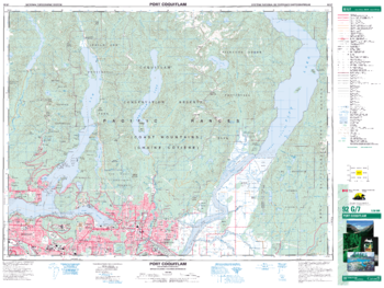
Port Coquitlam - 92 G/7 - British Columbia
Natural Resources Canada
Canadian topographic map of Port Coquitlam, British Columbia. NTS sheet 092G07 Edition 6.
Page Size: 34.5 x 26 in (876 x 659 mm)
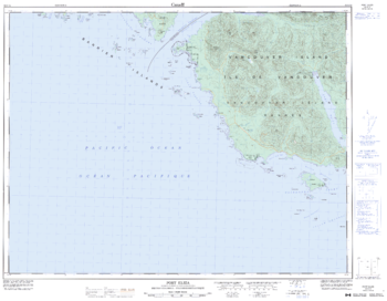
Port Eliza - 92 E/14 - British Columbia
Natural Resources Canada
Canadian topographic map of Port Eliza, British Columbia. NTS sheet 092E14 Edition 4.
Page Size: 32.75 x 25.5 in (826 x 643 mm)
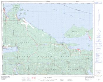
Port McNeill - 92 L/11 - British Columbia
Natural Resources Canada
Canadian topographic map of Port McNeill, British Columbia. NTS sheet 092L11 Edition 3.
Page Size: 32 x 25.25 in (810 x 640 mm)
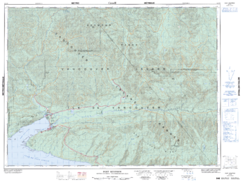
Port Renfrew - 92 C/9 - British Columbia
Natural Resources Canada
Canadian topographic map of Port Renfrew, British Columbia. NTS sheet 092C09 Edition 5.
Page Size: 33.75 x 25.5 in (853 x 643 mm)
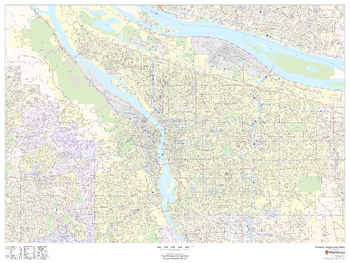
Portland, Oregon Inner Metro - Landscape
MapSherpa
This landscape-oriented map of central Portland, Oregon shows detailed street level information including extensive street labeling. Ideal for planning of deliveries, home services, sales territories, real estate and much more. Base map features include all roads with major roads and highways labelled; neighborhood names; railways; high level land use such as parks and recreation areas, industrial areas and hospital campuses; and a variety of points of interest including schools, libraries, stadiums, museums, border crossings and more.
Page Size: 48 x 36 in (1219 x 914 mm)
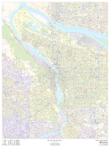
Portland, Oregon Inner Metro - Portrait
MapSherpa
This portrait-oriented map of central Portland, Oregon shows detailed street level information including extensive street labeling. Ideal for planning of deliveries, home services, sales territories, real estate and much more. Base map features include all roads with major roads and highways labelled; neighborhood names; railways; high level land use such as parks and recreation areas, industrial areas and hospital campuses; and a variety of points of interest including schools, libraries, stadiums, museums, border crossings and more.
Page Size: 36 x 48 in (914 x 1219 mm)
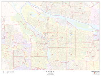
Portland, Oregon ZIP Codes
MapSherpa
This map of Portland, Oregon shows ZIP code areas overlaid on a road map. Ideal for planning of deliveries, home services, sales territories, real estate and much more. Base map features include all roads with major roads and highways labelled; neighborhood names; railways; and high level land use such as parks and recreation areas, industrial areas and hospital campuses.
Page Size: 48 x 36 in (1219 x 914 mm)
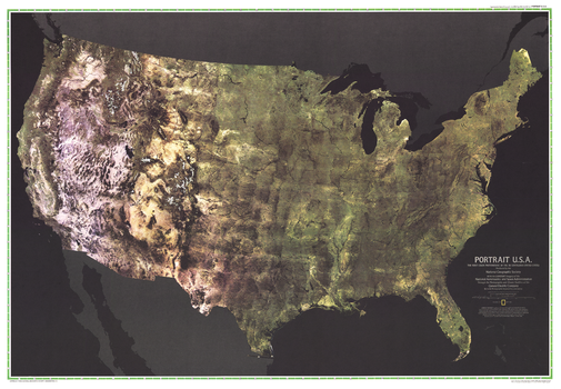
Portrait USA - Published 1976
National Geographic
The first color satellite photomosaic of the 48 contiguous United States, this landmark map was published in July of 1976. The near-true color imagery creates a portrait of the patchwork quilt of the entire country. Trace the Mississippi river from its source to the Gulf of Mexico. See the deserts of New Mexico, Arizona, and California. Follow the Rocky Mountains through the western states. A cartographic benchmark, this map laid the groundwork for the many that have followed.
Page Size: 42.5 x 29.5 in (1080 x 748 mm)
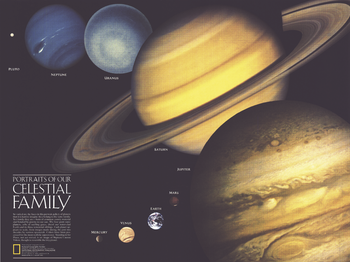
Portraits of Our Celestial Family - Published 1990
National Geographic
A beautiful companion to the Solar System map that appeared in the same issue, this compelling work illustrates the varied faces of the planets in our solar system. Published in August 1990 with two articles, "Neptune: Voyager's Last Picture Show" and "Voyage of the Century," this work shows the planets scaled to relative size, their portraits made from actual images taken from various spacecraft.
Page Size: 24.25 x 18.25 in (613 x 459 mm)
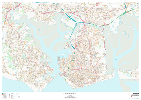
Portsmouth
MapSherpa
This map of Portsmouth shows detailed street level information including extensive street labelling. Ideal for planning of deliveries, home services, sales territories, real estate and much more.
Page Size: 47 x 33.25 in (1189 x 841 mm)
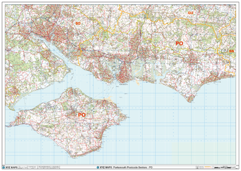
Portsmouth - PO - Postcode Wall Map
XYZ Maps
The Portsmouth Postcode Sector Wall Map shows detailed postcode sector boundaries (PO1 1, PO1 2) on a comprehensive background and is perfect for determining postcode boundaries for sales areas, planning mailshots and also an excellent reference for logistics. This wall map covers the whole of the PO Postcode Area.
Page Size: 47 x 33.25 in (1189 x 841 mm)
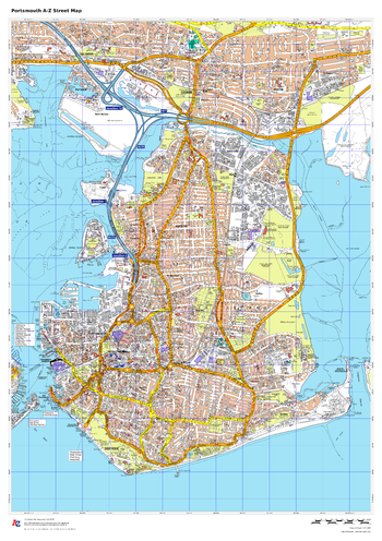
Portsmouth A-Z Street Map
A-Z Maps
This up-to-date detailed A-Z street map includes more than 2000 streets in and around Portsmouth. As well as ferry routes from Portsmouth Harbour, other areas covered include Southsea, Fratton, Milton Common, Hilsea and Cosham.
Page Size: 23.5 x 33.25 in (594 x 841 mm)
Portugal Topographic
Maps International
This topographic map of Portugal shows features including cities and towns, highways with labels, major roads, streets, pathways, railways, train and metro stations, airports, parks and green space, waterways, contour lines with 25m interval, and peaks with elevation noted.
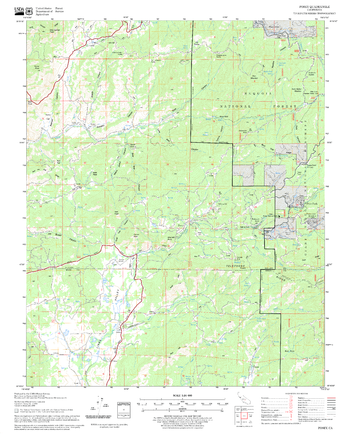
Posey Quadrangle, California
United States Forest Service
United States Department of Agriculture Forestry Service topographical map of Posey, Sequoia National Forest, California.
Page Size: 21.75 x 27 in (552 x 686 mm)
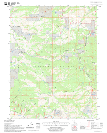
Potato Hill Quadrangle, California
United States Forest Service
United States Department of Agriculture Forestry Service topographical map of Potato Hill, Mendocino National Forest, California.
Page Size: 21.75 x 27 in (552 x 686 mm)
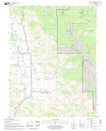
Potter Valley Quadrangle, California
United States Forest Service
United States Department of Agriculture Forestry Service topographical map of Potter Valley, Mendocino National Forest, California.
Page Size: 21.75 x 27 in (552 x 686 mm)
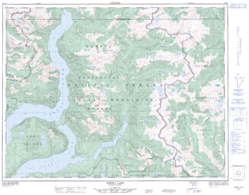
Powell Lake - 92 K/1 - British Columbia
Natural Resources Canada
Canadian topographic map of Powell Lake, British Columbia. NTS sheet 092K01 Edition 1.
Page Size: 32.25 x 25.5 in (817 x 642 mm)
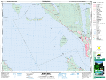
Powell River - 92 F/15 - British Columbia
Natural Resources Canada
Canadian topographic map of Powell River, British Columbia. NTS sheet 092F15 Edition 3.
Page Size: 34.25 x 26 in (869 x 659 mm)
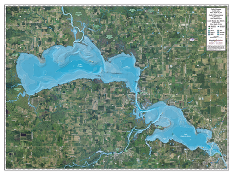
Poygan, Winneconne & Butte des Morts
Mapping Specialists
An Attractive map of the lake showing a visual 3D representation of the lake bottom. Includes boat launches, rock area and vegetation. Land area is high resolution aerial imagery.
Page Size: 37.25 x 27.75 in (943 x 705 mm)
No search results