


MapSherpa Catalog
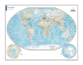
Political World Map - Atlas of the World, 10th Edition
National Geographic
Page Size: 28 x 22 in (711 x 559 mm)
Political World Map - Atlas of the World, 11th Edition
National Geographic
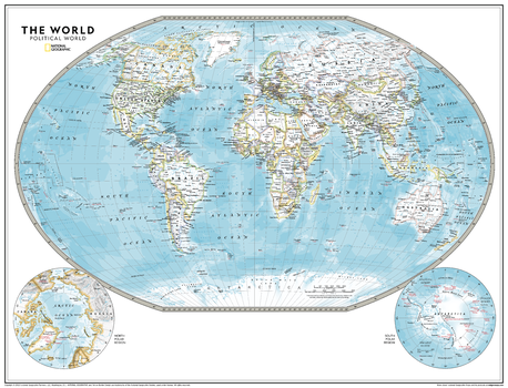
This political world map is featured in the National Geographic Atlas of the World, 11th Edition. Showcasing the Earth in stunning detail with state-of-the-art cartographic techniques delivering accuracy and exceptional quality, the innovative and engaging design makes the content easily accessible and pleasing to the eye.
The Political World Map provides a detailed geographic view of national and regional boundaries, depicting current political realities across all continents. It uses a bright, easy to read color palette featuring blue oceans and stunning shaded relief that has been featured on National Geographic wall maps for over 75 years. Drawn in the Winkel Tripel projection, distortions of land masses around the poles are minimized: unlike many other World maps, Greenland is accurately shown as the same size as Argentina and not the size of all of South America.
Thousands of place names are carefully placed on the map to maintain legibility even in the heavily populated areas of Europe, Asia and the Middle East. Details include clearly defined international boundaries, cities, physical features, rivers, and ocean floor features. Corner inset maps feature the north and south polar regions.
Page Size: 31.5 x 24 in (798 x 610 mm)
Political World Map - Atlas of the World, 11th Edition - Compact
National Geographic
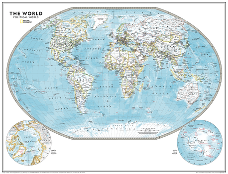
This political world map is featured in the National Geographic Atlas of the World, 11th Edition. Showcasing the Earth in stunning detail with state-of-the-art cartographic techniques delivering accuracy and exceptional quality, the innovative and engaging design makes the content easily accessible and pleasing to the eye.
The Political World Map provides a detailed geographic view of national and regional boundaries, depicting current political realities across all continents. It uses a bright, easy to read color palette featuring blue oceans and stunning shaded relief that has been featured on National Geographic wall maps for over 75 years. Drawn in the Winkel Tripel projection, distortions of land masses around the poles are minimized: unlike many other World maps, Greenland is accurately shown as the same size as Argentina and not the size of all of South America.
Thousands of place names are carefully placed on the map to maintain legibility even in the heavily populated areas of Europe, Asia and the Middle East. Details include clearly defined international boundaries, cities, physical features, rivers, and ocean floor features. Corner inset maps feature the north and south polar regions.
Page Size: 21.5 x 16.25 in (540 x 413 mm)
Political World Map - Huge
Maps International
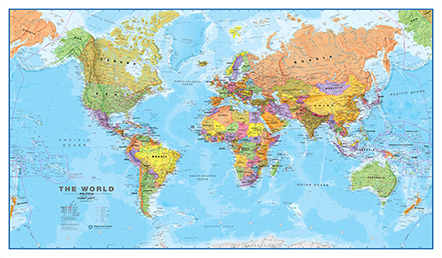
One of our best selling world maps that can be an educational resource as well as a stylish feature on your wall. Politically coloured world wall map features every country as a different colour. All major towns and cities are featured on this map and capital cities are clearly marked. Hill and sea shading add to the vibrant overall effect in this political world wall map.
Page Size: 79.5 x 46 in (2013 x 1165 mm)
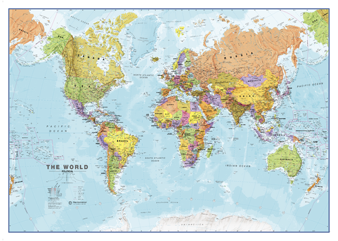
Political World Map - Large
Maps International
One of our best selling world maps that can be an educational resource as well as a stylish feature on your wall. Politically coloured world wall map features every country as a different colour. All major towns and cities are featured on this map and capital cities are clearly marked. Hill and sea shading add to the vibrant overall effect in this political world wall map.
Page Size: 47 x 33.25 in (1189 x 841 mm)
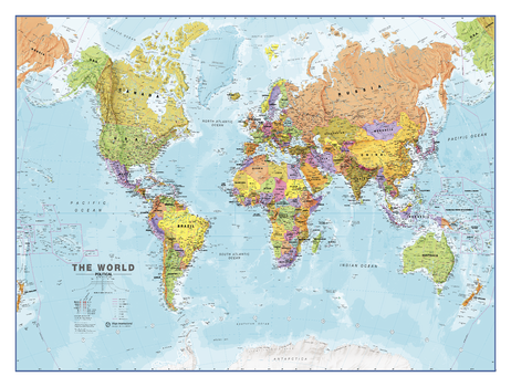
Political World Map - Large
Maps International
One of our best selling world maps that can be an educational resource as well as a stylish feature on your wall. Politically coloured world wall map features every country as a different colour. All major towns and cities are featured on this map and capital cities are clearly marked. Hill and sea shading add to the vibrant overall effect in this political world wall map.
Page Size: 48 x 36 in (1219 x 914 mm)
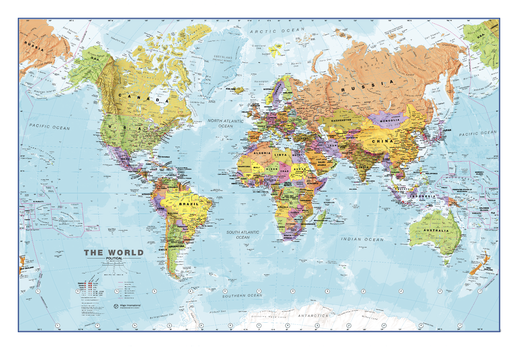
Political World Map - Medium
Maps International
One of our best selling world maps that can be an educational resource as well as a stylish feature on your wall. Politically coloured world wall map features every country as a different colour. All major towns and cities are featured on this map and capital cities are clearly marked. Hill and sea shading add to the vibrant overall effect in this political world wall map.
Page Size: 36 x 24 in (914 x 610 mm)
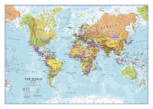
Political World Map - Medium
Maps International
One of our best selling world maps that can be an educational resource as well as a stylish feature on your wall. Politically coloured world wall map features every country as a different colour. All major towns and cities are featured on this map and capital cities are clearly marked. Hill and sea shading add to the vibrant overall effect in this political world wall map.
Page Size: 33.25 x 23.5 in (841 x 594 mm)
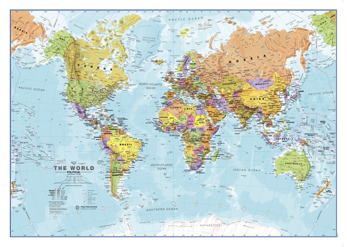
Political World Map - Small
Maps International
One of our best selling world maps that can be an educational resource as well as a stylish feature on your wall. Politically coloured world wall map features every country as a different colour. All major towns and cities are featured on this map and capital cities are clearly marked. Hill and sea shading add to the vibrant overall effect in this political world wall map.
Page Size: 23.5 x 16.75 in (594 x 420 mm)
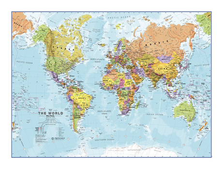
Political World Map - Small
Maps International
One of our best selling world maps that can be an educational resource as well as a stylish feature on your wall. Politically coloured world wall map features every country as a different colour. All major towns and cities are featured on this map and capital cities are clearly marked. Hill and sea shading add to the vibrant overall effect in this political world wall map.
Page Size: 24 x 18 in (610 x 457 mm)
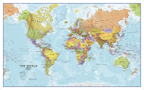
Political World Wall Map
Maps International
One of the best selling world maps that can be an educational resource as well as a stylish feature on your wall. Politically coloured world wall map features every country as a different colour. All major towns and cities are featured on this map and capital cities are clearly marked. Hill and sea shading add to the vibrant overall effect in this political world wall map.
Page Size: 53.75 x 33.25 in (1360 x 840 mm)

Political World Wall Map - Antique Style - Italian
Geo4Map
Fashion political world map done in earth-toned colors. Toponomy is in Italian.
Page Size: 49.25 x 32.5 in (1250 x 820 mm)
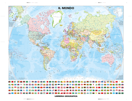
Political World Wall Map - Country Flags - Classic Style - Italian
Geo4Map
Classic World Map in Italian that includes official national flags.
Page Size: 51.25 x 39.5 in (1300 x 1000 mm)

Political World Wall Map - Italian
Geo4Map
Attractive political wall map of the world in Italian.
Page Size: 54.75 x 38.75 in (1390 x 980 mm)
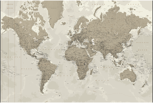
Political World Wall Map - Silver-tones - Extra Large
Geo4Map
Large fashion silver tone colours World Map.
Page Size: 80.5 x 54.25 in (2042 x 1377 mm)
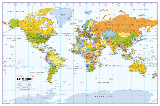
Political World Wall Map, French Language
Global Mapping
Political World Wall Map in French. Carte des murs du monde politique en français.
Page Size: 40.75 x 27 in (1029 x 684 mm)
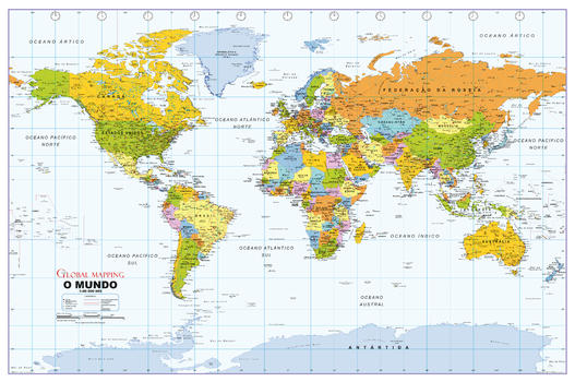
Political World Wall Map, Portuguese Language
Global Mapping
Political World Wall Map in Portuguese. Mapa do Muro Mundial Político em Português.
Page Size: 40.75 x 27 in (1029 x 684 mm)
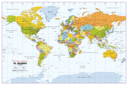
Political World Wall Map, Spanish Language
Global Mapping
Political World Wall Map in Spanish. Mapa político del muro mundial en español.
Page Size: 40.75 x 27 in (1029 x 684 mm)
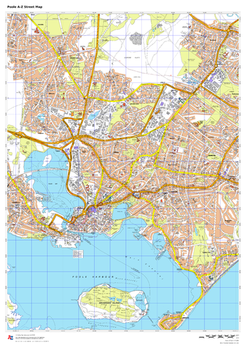
Poole A-Z Street Map
A-Z Maps
This up-to-date A-Z street map covers Poole, including the town centre together with the surrounding districts of Branksome, Canford Cliffs, Hamworthy, Oakdale, Parkstone.
Page Size: 23.5 x 33.25 in (594 x 841 mm)
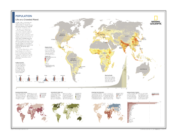
Population: Life on a Crowded Planet - Atlas of the World, 10th Edition
National Geographic
Mapping Density; Profiling Population; Booming Growth; Measuring National Density; Accounting for Arable Land; Projecting Future Population; Ranking Populous Countries
Page Size: 28 x 22 in (711 x 559 mm)
No search results