


MapSherpa Catalog
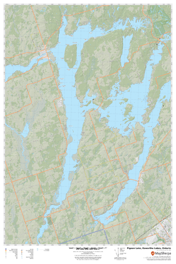
Pigeon Lake, Kawartha Lakes, Ontario
MapSherpa
A cartographically beautiful map of Pigeon Lake, Kawartha Lakes, Ontario ideal for showing off cottages, resorts, lakes and other favourite places.
Page Size: 24 x 36 in (610 x 914 mm)
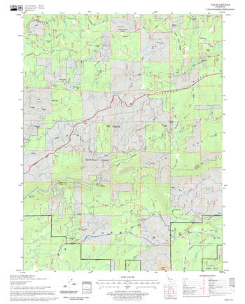
Pike Quadrangle, California
United States Forest Service
United States Department of Agriculture Forestry Service topographical map of Pike, Tahoe National Forest, California.
Page Size: 21.75 x 27 in (552 x 686 mm)
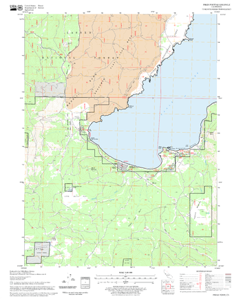
Pikes Point Quadrangle, California
United States Forest Service
United States Department of Agriculture Forestry Service topographical map of Pikes Point, Lassen National Forest, California.
Page Size: 21.75 x 27 in (552 x 686 mm)

Pikes Portage
GoTrekkers
Pikes Portage
Page Size: 37 x 19.5 in (940 x 495 mm)

Pilbara Supermap
Hema Maps
A large map of the Pilbara and Coral Coast.
Page Size: 55.75 x 52.25 in (1416 x 1323 mm)
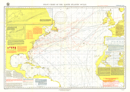
Pilot Chart of the North Atlantic Ocean - Published 1903
National Geographic
The Pilot Chart of the North Atlantic Ocean is a fascinating historical piece which appeared in National Geographic Magazine in February 1903, a time when all travel and trade across the Atlantic was done by boat. It contains recommended routes for steamships, branch hydrographic offices, and a wealth of information about weather patterns over the ocean including storm and gale signals, cyclonic storm tracks, fog reports and more. A truly unique map for collectors.
Page Size: 34 x 24.25 in (861 x 611 mm)
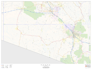
Pima County, Arizona
MapSherpa
This map of Pima County, Arizona shows regional level information. Base map features include highways and major roads with labelling; high level land use such as parks and recreation areas; and a selection of points of interest including transportation hubs like airports and train stations, tourist information and police stations.
Page Size: 48 x 36 in (1219 x 914 mm)
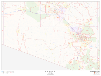
Pima County, Arizona ZIP Codes
MapSherpa
This map of Pima County, Arizona shows ZIP code areas overlaid on a road map. Ideal for planning of deliveries, home services, sales territories, real estate and much more. Base map features include all roads with major roads and highways labelled; neighborhood names; railways; and high level land use such as parks and recreation areas, industrial areas and hospital campuses.
Page Size: 48 x 36 in (1219 x 914 mm)
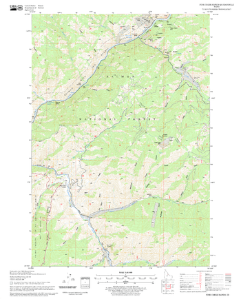
Pine Creek Rapids Quadrangle, Idaho
United States Forest Service
United States Department of Agriculture Forestry Service topographical map of Pine Creek Rapids, Salmon-Chalis National Forest, Idaho.
Page Size: 21.75 x 27 in (552 x 686 mm)
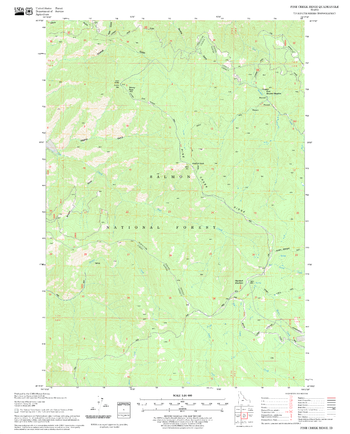
Pine Creek Ridge Quadrangle, Idaho
United States Forest Service
United States Department of Agriculture Forestry Service topographical map of Pine Creek Ridge, Salmon-Chalis National Forest, Idaho.
Page Size: 21.75 x 27 in (552 x 686 mm)
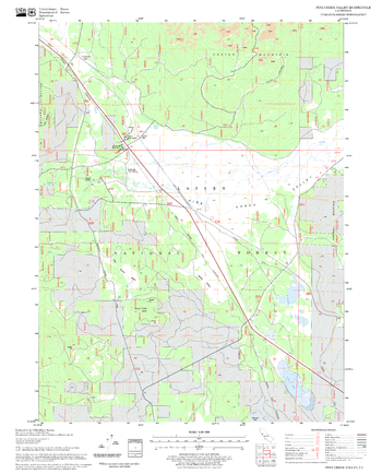
Pine Creek Valley Quadrangle, California
United States Forest Service
United States Department of Agriculture Forestry Service topographical map of Pine Creek Valley, Lassen National Forest, California.
Page Size: 21.75 x 27 in (552 x 686 mm)
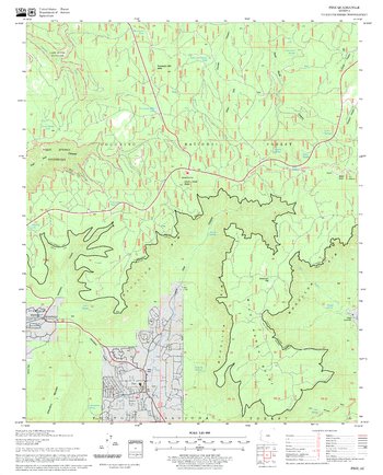
Pine Quadrangle, Arizona
United States Forest Service
United States Department of Agriculture Forestry Service topographical map of Pine, Coconino National Forest, Arizona.
Page Size: 21.75 x 27 in (552 x 686 mm)
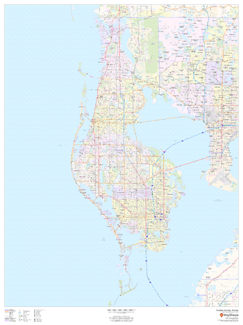
Pinellas County, Florida
MapSherpa
This map of Pinellas County, Florida shows regional level information. Base map features include highways and major roads with labelling; neighborhood names; railways; high level land use such as parks and recreation areas, industrial areas and hospital campuses; and a selection of points of interest including transportation hubs like airports and train stations, tourist information, police stations and shopping centres. ZIP code boundaries are shown as a secondary map feature.
Page Size: 36 x 48 in (914 x 1219 mm)
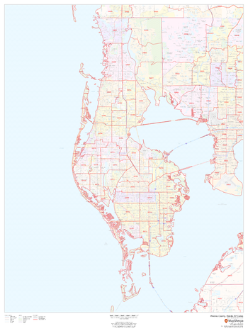
Pinellas County, Florida ZIP Codes
MapSherpa
This map of Pinellas County, Florida shows ZIP code areas overlaid on a road map. Ideal for planning of deliveries, home ervices, sales territories, real estate and much more. Base map features include all roads with major roads and highways labelled; neighborhood names; railways; and high level land use such as parks and recreation areas, industrial areas and hospital campuses.
Page Size: 36 x 48 in (914 x 1219 mm)
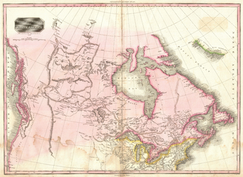
Pinkerton Map of British North America or Canada (1818)
Artokoloro
1818 map of British North America (Canada) by Scottish antiquarian and cartographer John Pinkerton (1758 - 1826). Full title: British Possessions in North America.
Page Size: 19 x 14 in (483 x 352 mm)
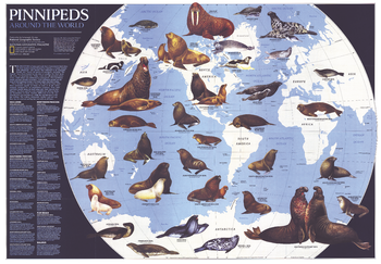
Pinnipeds Around the World - Published 1987
National Geographic
Pinniped means "fin-footed" and refers to seals, sea lions, and walruses. This extraordinary map contains illustrations of the many different species of pinnipeds and interesting facts about where they live, what they eat, and more. Published in April 1987 with the article "Seal and Their Kin," this map also accompanied the map of Antarctica published in the same issue.
Page Size: 69.5 x 48.5 in (1764 x 1227 mm)
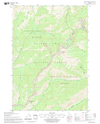
Pinyon Peak Quadrangle, Idaho
United States Forest Service
United States Department of Agriculture Forestry Service topographical map of Pinyon Peak, Salmon-Chalis National Forest, Idaho.
Page Size: 21.75 x 27 in (552 x 686 mm)
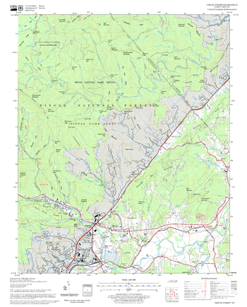
Pisgah Forest Quadrangle, North Carolina
United States Forest Service
United States Department of Agriculture Forestry Service topographical map of Pisgah Forest, Pisgah National Forest, North Carolina.
Page Size: 21.75 x 27 in (552 x 686 mm)
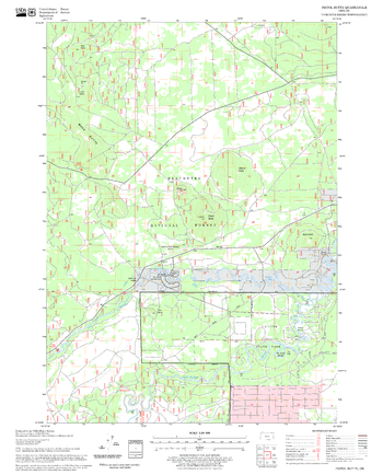
Pistol Butte Quadrangle, Oregon
United States Forest Service
United States Department of Agriculture Forestry Service topographical map of Pistol Butte, Deschutes National Forest, Oregon.
Page Size: 21.75 x 27 in (552 x 686 mm)
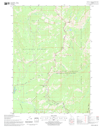
Pistol Lake Quadrangle, Idaho
United States Forest Service
United States Department of Agriculture Forestry Service topographical map of Pistol Lake, Salmon-Chalis National Forest, Idaho.
Page Size: 21.75 x 27 in (552 x 686 mm)
No search results