


MapSherpa Catalog
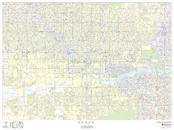
Phoenix, Arizona Inner Metro - Landscape
MapSherpa
This landscape-oriented map of central Phoenix, Arizona shows detailed street level information including extensive street labeling. Ideal for planning of deliveries, home services, sales territories, real estate and much more. Base map features include all roads with major roads and highways labelled; neighborhood names; railways; high level land use such as parks and recreation areas, industrial areas and hospital campuses; and a variety of points of interest including schools, libraries, stadiums, museums, border crossings and more.
Page Size: 48 x 36 in (1219 x 914 mm)
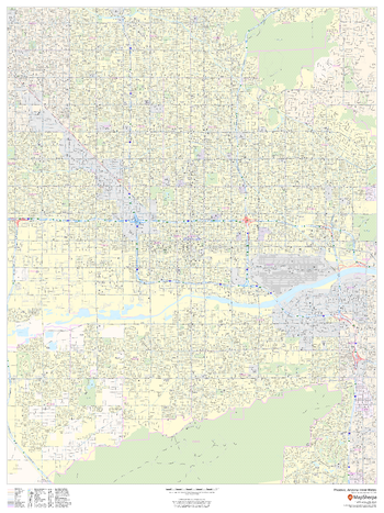
Phoenix, Arizona Inner Metro - Portrait
MapSherpa
This portrait-oriented map of central Phoenix, Arizona shows detailed street level information including extensive street labeling. Ideal for planning of deliveries, home services, sales territories, real estate and much more. Base map features include all roads with major roads and highways labelled; neighborhood names; railways; high level land use such as parks and recreation areas, industrial areas and hospital campuses; and a variety of points of interest including schools, libraries, stadiums, museums, border crossings and more.
Page Size: 36 x 48 in (914 x 1219 mm)

Phoenix, Arizona Wall Map, large
Globe Turner
This detailed reference map combines two maps in one - a regional map of the Phoenix metropolitan area plus a street-level map of downtown Phoenix. The regional map depicts the area's cities and towns, highways and roads, and a variety of points of interest. Scottsdale, Tempe, and Mesa are among the cities near Phoenix that are featured on this map. The map is beautifully rendered with terrain relief. The highly detailed inset of central Phoenix shows highways, streets, parks, landmarks, and other points of interest. Also available in a small size of 10.625" high X 11.25" wide.
Page Size: 22.75 x 21.5 in (572 x 540 mm)
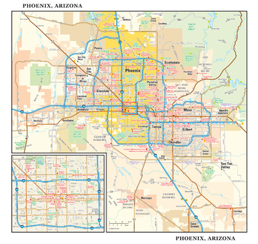
Phoenix, Arizona Wall Map, small
Globe Turner
This detailed reference map combines two maps in one - a regional map of the Phoenix metropolitan area plus a street-level map of downtown Phoenix. The regional map depicts the area's cities and towns, highways and roads, and a variety of points of interest. Scottsdale, Tempe, and Mesa are among the cities near Phoenix that are featured on this map. The map is beautifully rendered with terrain relief. The highly detailed inset of central Phoenix shows highways, streets, parks, landmarks, and other points of interest. Also available in a large size of 21.25" high X 22.50" wide.
Page Size: 11.25 x 10.75 in (286 x 270 mm)
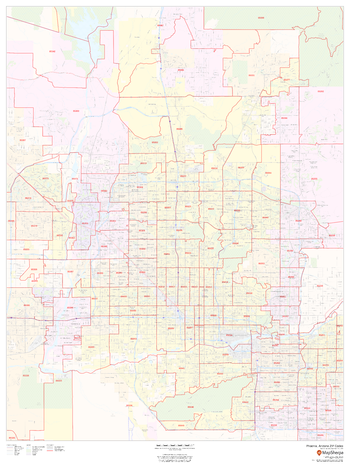
Phoenix, Arizona ZIP Codes
MapSherpa
This map of Phoenix shows ZIP code areas overlaid on a road map. Ideal for planning of deliveries, home services, sales territories, real estate and much more. Base map features include all roads with major roads and highways labelled; neighborhood names; railways; and high level land use such as parks and recreation areas, industrial areas and hospital campuses.
Page Size: 36 x 48 in (914 x 1219 mm)

Physical Europe Wall Map - Italian
Geo4Map
Attractive physical wall map of Europe in Italian.
Page Size: 55.75 x 39.5 in (1410 x 1000 mm)

Physical Italy Wall Map - Italian
Geo4Map
Attractive physical wall map of Italy in Italian.
Page Size: 39.5 x 46.25 in (1000 x 1174 mm)
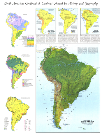
Physical Map of South America - Published 1972
National Geographic
Published in October 1972 with the articles "The Amazon" and "Amazon - The River Sea," this informative physical map also includes six inset maps showing historical, geographic, and economic details of the continent. A perfect companion for the political map of South America published in the same issue.
Page Size: 23 x 30.5 in (580 x 772 mm)
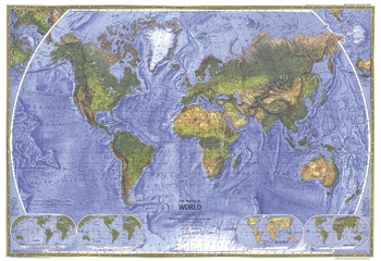
Physical World - Published 1975
National Geographic
The splendor and beauty of the world's natural features come to life in this physical world map. Mountain ranges, major rivers, vegetation zones, and deserts are depicted, and major physical features are named to provide easy reference. Published in November 1975.
Page Size: 35.25 x 24.25 in (890 x 610 mm)
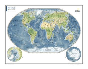
Physical World Map - Atlas of the World, 10th Edition
National Geographic
Page Size: 28 x 22 in (711 x 559 mm)
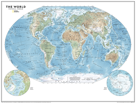
Physical World Map - Atlas of the World, 11th Edition
National Geographic
This world map of physical features can fit in any space, and is featured in the National Geographic Atlas of the World, 11th Edition. Showcasing the Earth in stunning detail with state-of-the-art cartographic techniques delivering accuracy and exceptional quality, the innovative and engaging design makes the content easily accessible and user-friendly. Ideal for classrooms with an emphasis on teaching geography or environmental themes. Physical wall maps give your students a genuine feel for how our world appears.
The Physical World Map uses a bright, easy to read color palette featuring blue oceans and stunning shaded relief that has been featured on National Geographic wall maps for over 75 years. Drawn in the Winkel Tripel projection, distortions of land masses around the poles are minimized: unlike many other World maps, Greenland is accurately shown as the same size as Argentina and not the size of all of South America.
Names of geographic features are carefully placed on the map to maintain legibility. Details include clearly defined features such as fracture zones, ocean ridges, mountains, deserts and plateaus. Corner inset maps feature the north and south polar regions.
Page Size: 31.5 x 24 in (798 x 610 mm)
Physical World Map - Atlas of the World, 11th Edition - Compact
National Geographic
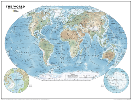
This world map of physical features can fit in any space, and is featured in the National Geographic Atlas of the World, 11th Edition. Showcasing the Earth in stunning detail with state-of-the-art cartographic techniques delivering accuracy and exceptional quality, the innovative and engaging design makes the content easily accessible and user-friendly. Ideal for classrooms with an emphasis on teaching geography or environmental themes. Physical wall maps give your students a genuine feel for how our world appears.
The Physical World Map uses a bright, easy to read color palette featuring blue oceans and stunning shaded relief that has been featured on National Geographic wall maps for over 75 years. Drawn in the Winkel Tripel projection, distortions of land masses around the poles are minimized: unlike many other World maps, Greenland is accurately shown as the same size as Argentina and not the size of all of South America.
Names of geographic features are carefully placed on the map to maintain legibility. Details include clearly defined features such as fracture zones, ocean ridges, mountains, deserts and plateaus. Corner inset maps feature the north and south polar regions.
Page Size: 21.5 x 16.25 in (540 x 413 mm)
Physical World Wall Map
Maps International
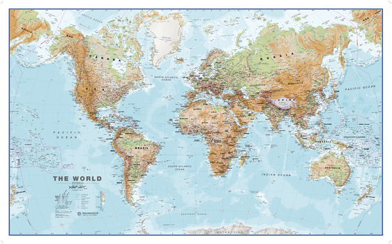
This World physical wall map is a high quality map which is a fantastic representation of the world's physical terrain. Map details: Our physical world wall map features the natural terrain of the land as well as the different physical areas. Country borders and major cities are shown. The map's key helps to identify the different land terrain.
Page Size: 53.75 x 33.25 in (1360 x 840 mm)

Physical World Wall Map - Italian
Geo4Map
Attractive physical wall map of the world in Italian.
Page Size: 54.75 x 38.75 in (1390 x 980 mm)
Physical World Wall Map - Ukrainian - Extra Large
Kartographia
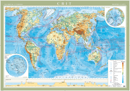
This Ukrainian-language physical map of the world shows variations in the Earth's terrain. Elevation (land) and bathymetry (sea) are illustrated using color variations. Major oceanic currents are included to show how the waters of the oceans circulate around the planet. Major cities, spot elevations and physical features such as glaciers, reefs and volcanoes add interesting contextual information to the map.
Page Size: 61.25 x 42.75 in (1550 x 1080 mm)
Pico Peak Quadrangle, New Hampshire-Vermont
United States Forest Service
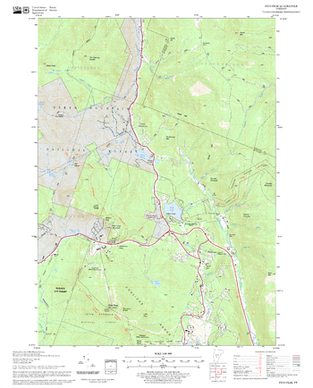
United States Forestry Service topographical map of Pico Peak, New Hampshire-Vermont
Page Size: 21.75 x 27 in (552 x 686 mm)
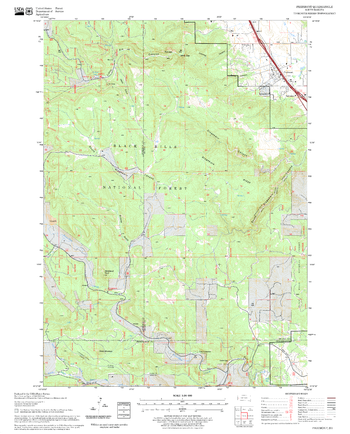
Piedmont Quadrangle, South Dakota
United States Forest Service
United States Department of Agriculture Forestry Service topographical map of Piedmont, Black Hills National Forest, South Dakota.
Page Size: 21.75 x 27 in (552 x 686 mm)
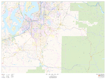
Pierce County, Washington
MapSherpa
This map of Pierce County, Washington shows regional level information. Base map features include highways and major roads with labelling; railways; high level land use such as parks and recreation areas; and a selection of points of interest including transportation hubs like airports and train stations, tourist information and police stations. ZIP code boundaries are shown as a secondary map feature.
Page Size: 48 x 36 in (1219 x 914 mm)
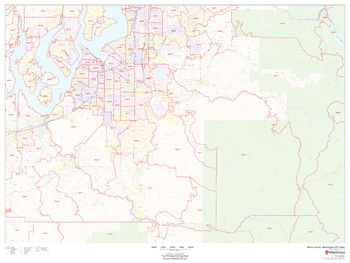
Pierce County, Washington ZIP Codes
MapSherpa
This map of Pierce County, Washington shows ZIP code areas overlaid on a road map. Ideal for planning of deliveries, home ervices, sales territories, real estate and much more. Base map features include all roads with major roads and highways labelled; neighborhood names; railways; and high level land use such as parks and recreation areas, industrial areas and hospital campuses.
Page Size: 48 x 36 in (1219 x 914 mm)
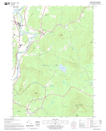
Piermont Quadrangle, New Hampshire-Vermont
United States Forest Service
United States Forestry Service topographical map of Piermont, New Hampshire-Vermont
Page Size: 21.75 x 27 in (552 x 686 mm)
No search results