


MapSherpa Catalog

Peters World Map - Francais
Kartographie Huber
The Peters Projection World Map is one of the most stimulating, and controversial, images of the world. When this map was first introduced by historian and cartographer Dr. Arno Peters in Germany in 1974 it generated a firestorm of debate. The first English-version of the map was published in 1983, and it continues to have passionate fans as well as staunch detractors.
The earth is round. The challenge of any world map is to represent a round earth on a flat surface. There are literally thousands of map projections. Each has certain strengths and corresponding weaknesses. Choosing among them is an exercise in values clarification: you have to decide what's important to you. That is generally determined by the way you intend to use the map.
The Peters Projection is an area accurate map (equal area map). This map shows all areas; countries, continents and oceans, according to their actual size. Accurate comparisons become possible. The Peters Map is an equal axis map. All North-South lines run vertical on this map, thus geographic points can be seen in their precise directional relationship. The Peters Map shows equal positions. All East-West Lines run parallel, thus the relationship of any point on the map to its distance from the equator or the angle of the sun can readily be determined.
Page Size: 38.75 x 27 in (980 x 680 mm)

Peters World Map - Italiano
Kartographie Huber
The Peters Projection World Map is one of the most stimulating, and controversial, images of the world. When this map was first introduced by historian and cartographer Dr. Arno Peters in Germany in 1974 it generated a firestorm of debate. The first English-version of the map was published in 1983, and it continues to have passionate fans as well as staunch detractors.
The earth is round. The challenge of any world map is to represent a round earth on a flat surface. There are literally thousands of map projections. Each has certain strengths and corresponding weaknesses. Choosing among them is an exercise in values clarification: you have to decide what's important to you. That is generally determined by the way you intend to use the map.
The Peters Projection is an area accurate map (equal area map). This map shows all areas; countries, continents and oceans, according to their actual size. Accurate comparisons become possible. The Peters Map is an equal axis map. All North-South lines run vertical on this map, thus geographic points can be seen in their precise directional relationship. The Peters Map shows equal positions. All East-West Lines run parallel, thus the relationship of any point on the map to its distance from the equator or the angle of the sun can readily be determined.
Page Size: 98.5 x 59.25 in (2500 x 1500 mm)
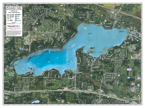
Pewaukee lake
Mapping Specialists
An Attractive map of the lake showing a visual 3D representation of the lake bottom. Includes boat launches, rock area and vegetation. Land area is high resolution aerial imagery.
Page Size: 37.25 x 27.75 in (943 x 705 mm)
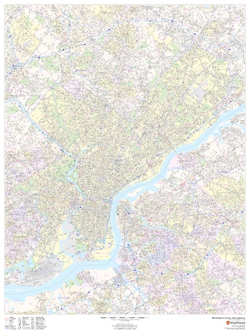
Philadelphia County, Pennsylvania
MapSherpa
This map of Philadelphia County, Pennsylvania shows street level information including street labeling. Base map features include all roads with major roads and highways labelled; neighborhood names; railways; high level land use such as parks and recreation areas, industrial areas and hospital campuses; and a variety of points of interest including libraries, stadiums, museums, border crossings and more. ZIP code boundaries are shown as a secondary map feature.
Page Size: 36 x 48 in (914 x 1219 mm)
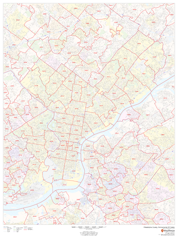
Philadelphia County, Pennsylvania ZIP Codes
MapSherpa
This map of Orange County, California shows ZIP code areas overlaid on a road map. Ideal for planning of deliveries, home services, sales territories, real estate and much more. Base map features include all roads with major roads and highways labelled; neighborhood names; railways; and high level land use such as parks and recreation areas, industrial areas and hospital campuses.
Page Size: 36 x 48 in (914 x 1219 mm)
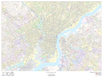
Philadelphia, Pennsylvania Inner Metro - Landscape
MapSherpa
This landscape-oriented map of central Philadelphia, Pennsylvania shows detailed street level information including extensive street labeling. Ideal for planning of deliveries, home services, sales territories, real estate and much more. Base map features include all roads with major roads and highways labelled; neighborhood names; railways; high level land use such as parks and recreation areas, industrial areas and hospital campuses; and a variety of points of interest including schools, libraries, stadiums, museums, border crossings and more.
Page Size: 48 x 36 in (1219 x 914 mm)
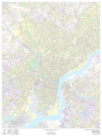
Philadelphia, Pennsylvania Inner Metro - Portrait
MapSherpa
This portrait-oriented map of central Philadelphia, Pennsylvania shows detailed street level information including extensive street labeling. Ideal for planning of deliveries, home services, sales territories, real estate and much more. Base map features include all roads with major roads and highways labelled; neighborhood names; railways; high level land use such as parks and recreation areas, industrial areas and hospital campuses; and a variety of points of interest including schools, libraries, stadiums, museums, border crossings and more.
Page Size: 36 x 48 in (914 x 1219 mm)
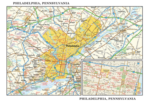
Philadelphia, Pennsylvania Wall Map, large
Globe Turner
This detailed reference map combines two maps in one - a map of the greater Philadelphia area plus a street-level map of historic, downtown Philadelphia. The metropolitan map shows the area's cities and towns, highways and roads, and a variety of points of interest. The map includes the surrounding suburban cities in Pennsylvania and New Jersey. The downtown map, which includes Independence National Historical Park, shows highways, streets, parks, landmarks, and other points of interest. Society Hill and Chinatown are among the neighborhoods featured on this map. Also available in a small size of 7.75" high X 11.25" wide.
Page Size: 22.75 x 15.5 in (572 x 394 mm)
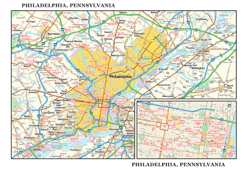
Philadelphia, Pennsylvania Wall Map, small
Globe Turner
This detailed reference map combines two maps in one - a map of the greater Philadelphia area plus a street-level map of historic, downtown Philadelphia. The metropolitan map shows the area's cities and towns, highways and roads, and a variety of points of interest. The map includes the surrounding suburban cities in Pennsylvania and New Jersey. The downtown map, which includes Independence National Historical Park, shows highways, streets, parks, landmarks, and other points of interest. Society Hill and Chinatown are among the neighborhoods featured on this map. Also available in a large size of 15.50" high X 22.50" wide.
Page Size: 11.25 x 7.75 in (286 x 197 mm)
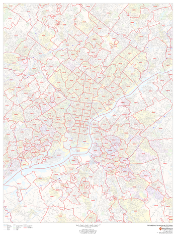
Philadelphia, Pennsylvania ZIP Codes
MapSherpa
This map of Philadelphia shows ZIP code areas overlaid on a road map. Ideal for planning of deliveries, home services, sales territories, real estate and much more. Base map features include all roads with major roads and highways labelled; neighborhood names; railways; and high level land use such as parks and recreation areas, industrial areas and hospital campuses.
Page Size: 36 x 48 in (914 x 1219 mm)
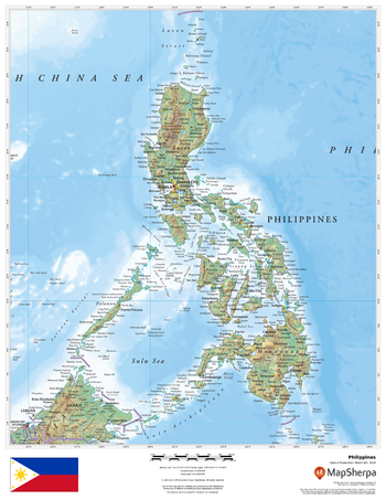
Philippines
MapSherpa
This beautiful map shows physical and political features for the Philippines and surrounding areas. Relief shading and the use of different colours by height above sea level are both informative and attractive.
Page Size: 17 x 22 in (432 x 559 mm)
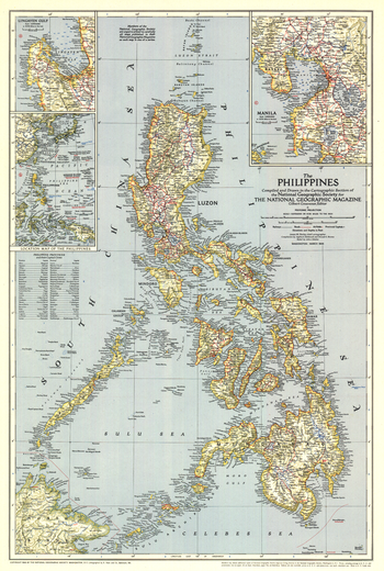
Philippines - Published 1945
National Geographic
The Philippines were liberated from the Japanese by MacArthur's forces just months before this map was published in March 1945. This map, which accompanied the article "What Luzon Means to Uncle Sam," features the provinces and their capitals as well as airfields. A fine collectible for those interested in World War II era maps.
Page Size: 17.5 x 26 in (443 x 658 mm)
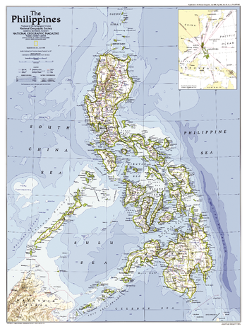
Philippines - Published 1986
National Geographic
This map of the Philippines was created following the country's Epifanio de los Santos Avenue (EDSA) Revolution and the installation of Corazon Aquino as president. Published in July 1986 as a companion to the map "The History of the Philippines" and the article "Hope and Danger in the Philippines."
Page Size: 20.5 x 27.25 in (518 x 688 mm)
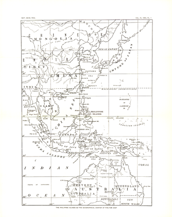
Philippines - Published 1900
National Geographic
This historic black and white map, entitled "The Philippine Islands as the Geographical Center of the Far East," shows the Far East in 1900--two years after the Philippines were taken, then purchased from Spain by the US following the Spanish American War.
Page Size: 10 x 12.75 in (251 x 318 mm)
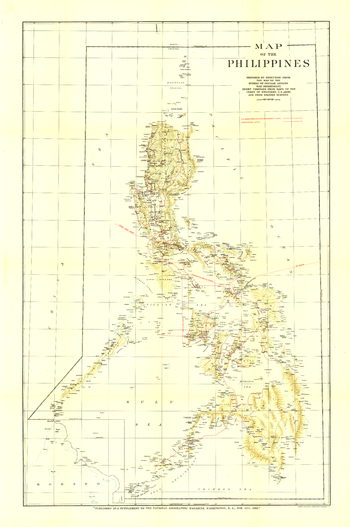
Philippines - Published 1905
National Geographic
Published in August 1905, this map of the Philippines features relief shading and shows the various cable lines of the time. A unique, collectible map for those interested in vintage maps or maps of the Philippines.
Page Size: 24 x 36 in (606 x 913 mm)
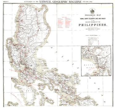
Philippines Military Telegraph Lines North - Published 1902
National Geographic
This map was produced in astonishing detail as a supplement to the January, 1902 National Geographic Magazine, and accompanies the southern Philippines map. Just four years earlier, the United States purchased the rights to the territory from Spain for $20,000,000, and this beautiful map shows the entire group of islands, anlong with a detailed inset of the Manila Bay area. Anyone interested in history or the Far East will find this map to be an excellent addition to your map collection.
Page Size: 36 x 33.75 in (912 x 855 mm)
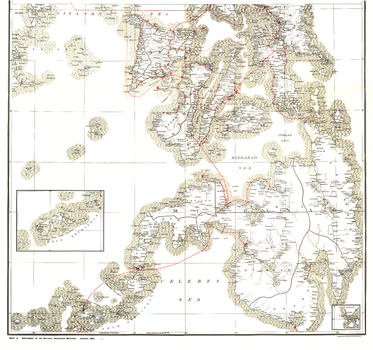
Philippines Military Telegraph Lines South - Published 1902
National Geographic
This map was produced in astonishing detail as a supplement to the January, 1902 National Geographic Magazine, and accompanies the northern Philippine Islands map. Just four years earlier, the United States purchased the rights to the territory from Spain for $20,000,000, and this beautiful map shows the entire group of islands, along with a detailed inset of the Manila Bay area. Anyone interested in history or the Far East will find this map to be an excellent addition to your map collection.
Page Size: 36 x 33.75 in (912 x 855 mm)
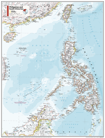
Philippines and South China Sea - Atlas of the World, 11th Edition
National Geographic
This Philippines and South China Sea map of physical and political features can fit in any space. Showcasing the countries in stunning detail with state-of-the-art cartographic techniques delivering accuracy and exceptional quality, the innovative and engaging design makes the content easily accessible and user-friendly.
Ideal for classrooms with an emphasis on teaching geography or environmental themes. The inclusion of physical features gives your students a genuine feel for how our world appears.
This map uses a bright, easy to read color palette featuring blue oceans and stunning shaded relief that has been featured on National Geographic wall maps for over 75 years. It is drawn in Conic projection, in which an area of the earth is projected onto a cone whose vertex is usually above one of the poles, then unrolled onto a flat surface.
Names of geographic features are carefully placed on the map to maintain legibility.
This map is found in National Geographic's 11th Edition World Atlas and is now available as a stand alone product.
Page Size: 24 x 31.5 in (610 x 798 mm)
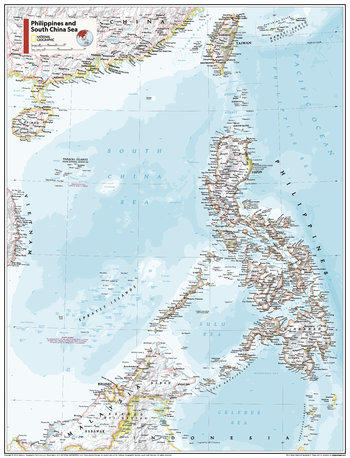
Philippines and South China Sea - Atlas of the World, 11th Edition - Compact
National Geographic
This Philippines and South China Sea map of physical and political features can fit in any space. Showcasing the countries in stunning detail with state-of-the-art cartographic techniques delivering accuracy and exceptional quality, the innovative and engaging design makes the content easily accessible and user-friendly.
Ideal for classrooms with an emphasis on teaching geography or environmental themes. The inclusion of physical features gives your students a genuine feel for how our world appears.
This map uses a bright, easy to read color palette featuring blue oceans and stunning shaded relief that has been featured on National Geographic wall maps for over 75 years. It is drawn in Conic projection, in which an area of the earth is projected onto a cone whose vertex is usually above one of the poles, then unrolled onto a flat surface.
Names of geographic features are carefully placed on the map to maintain legibility.
This map is found in National Geographic's 11th Edition World Atlas and is now available as a stand alone product.
Page Size: 16.25 x 21.5 in (413 x 540 mm)
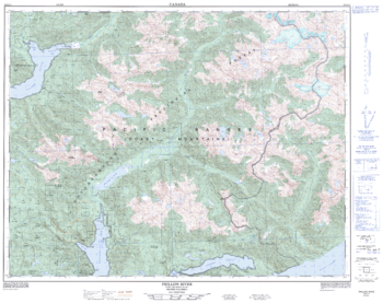
Phillips River - 92 K/11 - British Columbia
Natural Resources Canada
Canadian topographic map of Phillips River, British Columbia. NTS sheet 092K11 Edition 1.
Page Size: 32 x 25.25 in (809 x 641 mm)
No search results