


MapSherpa Catalog
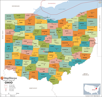
Ohio Counties Map - Large
MapSherpa
This map has been created exclusively for MapSherpa, and designed for reference or business use. Clear and clean colors & fonts matched with cartographic research makes this map of Ohio Counties Map easily readable and useful. The map shows the 88 counties of Ohio and their borders across the Buckeye State.
Page Size: 48 x 46 in (1219 x 1168 mm)
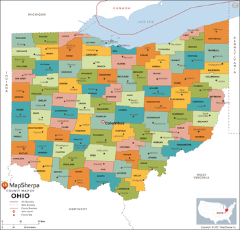
Ohio Counties Map - Standard
MapSherpa
This map has been created exclusively for MapSherpa, and designed for reference or business use. Clear and clean colors & fonts matched with cartographic research makes this map of Ohio Counties Map easily readable and useful. The map shows the 88 counties of Ohio and their borders across the Buckeye State.
Page Size: 36 x 34.5 in (914 x 876 mm)
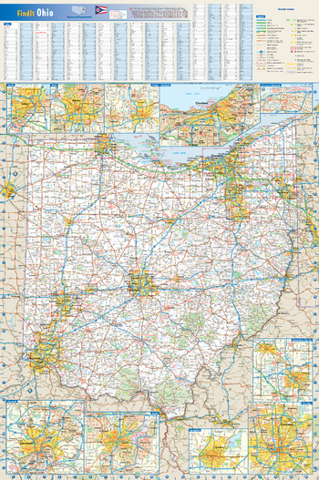
Ohio State Wall Map
Globe Turner
This colorful, easy-to-read state map of Ohio identifies all major thoroughfares, secondary roads, freeway interchanges, route numbers, landmarks, recreational areas, and more. Shaded relief on the state map provides a three-dimensional sense of Ohio's topography. Detailed inset maps of Akron, Canton, Cincinnati, Cleveland, Columbus, Dayton, Springfield, Toledo and Youngstown are based on the latest street information from our cartographic experts. County and city indices make it simple to locate even the smallest town.
Page Size: 20.75 x 31.25 in (527 x 794 mm)
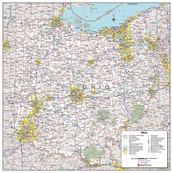
Ohio State Wall Map - Compact
MapSherpa
This detailed wall map of Ohio is perfect for both educational and business purposes. The easy-to-read map features vibrant colors and clear labeling of cities, counties, highways, and geographical features. All national and state highways that connect the state are all clearly labelled on the map, while the legend notes the different road and land use classifications such as urban, park, military, and many more. The boundaries of each county in the state are defined and named clearly. Whether you are a student, teacher, business person or geography enthusiast, this map is a valuable addition to any space.
Page Size: 16 x 16 in (406 x 406 mm)
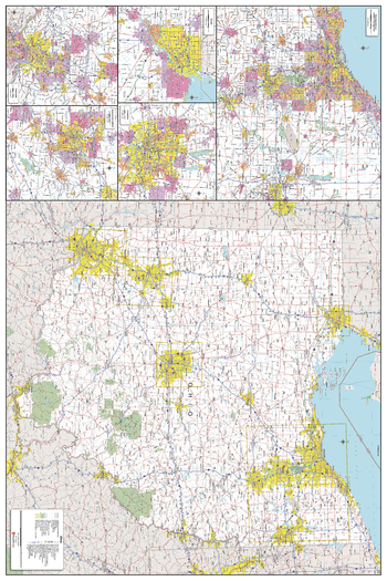
Ohio State Wall Map - Extra Large
MapSherpa
This detailed wall map of Ohio is perfect for both educational and business purposes. The easy-to-read map features vibrant colors and clear labeling of cities, counties, highways, and geographical features. All national and state highways that connect the state are all clearly labelled on the map, while the legend notes the different road and land use classifications such as urban, park, military, and many more. The boundaries of each county in the state are defined and named clearly. Whether you are a student, teacher, business person or geography enthusiast, this map is a valuable addition to any space.
Page Size: 40 x 60 in (1016 x 1524 mm)
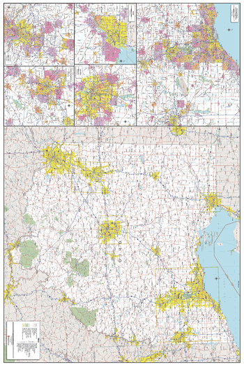
Ohio State Wall Map - Large
MapSherpa
This detailed wall map of Ohio is perfect for both educational and business purposes. The easy-to-read map features vibrant colors and clear labeling of cities, counties, highways, and geographical features. All national and state highways that connect the state are all clearly labelled on the map, while the legend notes the different road and land use classifications such as urban, park, military, and many more. The boundaries of each county in the state are defined and named clearly. Whether you are a student, teacher, business person or geography enthusiast, this map is a valuable addition to any space.
Page Size: 32 x 48 in (813 x 1219 mm)
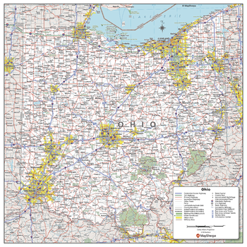
Ohio State Wall Map - Poster
MapSherpa
This detailed wall map of Ohio is perfect for both educational and business purposes. The easy-to-read map features vibrant colors and clear labeling of cities, counties, highways, and geographical features. All national and state highways that connect the state are all clearly labelled on the map, while the legend notes the different road and land use classifications such as urban, park, military, and many more. The boundaries of each county in the state are defined and named clearly. Whether you are a student, teacher, business person or geography enthusiast, this map is a valuable addition to any space.
Page Size: 24 x 24 in (610 x 610 mm)
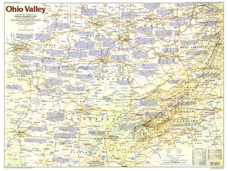
Ohio Valley - Published 1985
National Geographic
This map of the Ohio Valley region of the United States contains a wealth of historical notes and points of interest, including early frontier settlements such as Harrodsburg, Kentucky and Davy Crockett's birthplace in Tennessee. Published in December 1985 as part of the "Making of America" series, and as a companion to the article "Daniel Boone, First Hero of the Frontier."
Page Size: 27.25 x 20.5 in (690 x 518 mm)
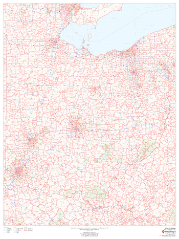
Ohio ZIP Code Map
MapSherpa
This map of Ohio shows ZIP codes overlaid on a road map. Base map features include municipality and county boundaries, major road network features, and state and national parks and conservation areas.
Page Size: 36 x 48 in (914 x 1219 mm)
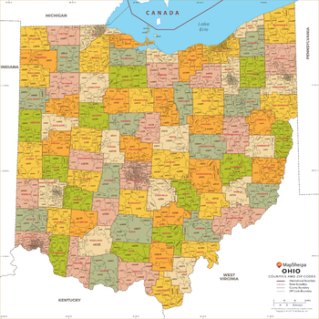
Ohio ZIP Code Map with Counties - Extra Large
MapSherpa
This map has been created exclusively for MapSherpa, and designed for business or reference use. Clear and clean colors & fonts matched with cartographic research makes this Ohio Zip Code Map with Counties easily readable and useful. The map shows the 88 counties of Ohio and the borders of the over 1,000 zip codes across the Buckeye State.
Page Size: 60 x 60 in (1524 x 1524 mm)
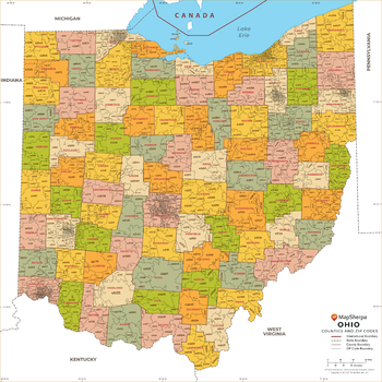
Ohio ZIP Code Map with Counties - Large
MapSherpa
This map has been created exclusively for MapSherpa, and designed for business or reference use. Clear and clean colors & fonts matched with cartographic research makes this Ohio Zip Code Map with Counties easily readable and useful. The map shows the 88 counties of Ohio and the borders of the over 1,000 zip codes across the Buckeye State.
Page Size: 48 x 48 in (1219 x 1219 mm)
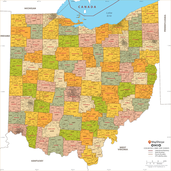
Ohio ZIP Code Map with Counties - Standard
MapSherpa
This map has been created exclusively for MapSherpa, and designed for business or reference use. Clear and clean colors & fonts matched with cartographic research makes this Ohio Zip Code Map with Counties easily readable and useful. The map shows the 88 counties of Ohio and the borders of the over 1,000 zip codes across the Buckeye State.
Page Size: 36 x 36 in (914 x 914 mm)
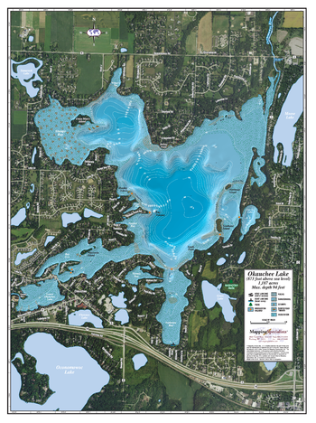
Okauchee Lake
Mapping Specialists
An Attractive map of the lake showing a visual 3D representation of the lake bottom. Includes boat launches, rock area and vegetation. Land area is high resolution aerial imagery.
Page Size: 27.75 x 37.25 in (705 x 943 mm)
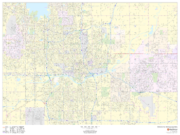
Oklahoma City, Oklahoma Inner Metro - Landscape
MapSherpa
This landscape-oriented map of central Oklahoma City, Oklahoma shows detailed street level information including extensive street labeling. Ideal for planning of deliveries, home services, sales territories, real estate and much more. Base map features include all roads with major roads and highways labelled; neighborhood names; railways; high level land use such as parks and recreation areas, industrial areas and hospital campuses; and a variety of points of interest including schools, libraries, stadiums, museums, border crossings and more.
Page Size: 48 x 36 in (1219 x 914 mm)
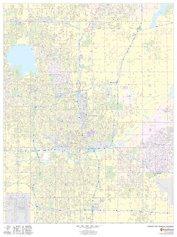
Oklahoma City, Oklahoma Inner Metro - Portrait
MapSherpa
This portrait-oriented map of central Oklahoma City, Oklahoma shows detailed street level information including extensive street labeling. Ideal for planning of deliveries, home services, sales territories, real estate and much more. Base map features include all roads with major roads and highways labelled; neighborhood names; railways; high level land use such as parks and recreation areas, industrial areas and hospital campuses; and a variety of points of interest including schools, libraries, stadiums, museums, border crossings and more.
Page Size: 36 x 48 in (914 x 1219 mm)
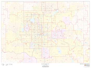
Oklahoma City, Oklahoma ZIP Codes
MapSherpa
This map of Oklahoma City, Oklahoma shows ZIP code areas overlaid on a road map. Ideal for planning of deliveries, home services, sales territories, real estate and much more. Base map features include all roads with major roads and highways labelled; neighborhood names; railways; and high level land use such as parks and recreation areas, industrial areas and hospital campuses.
Page Size: 48 x 36 in (1219 x 914 mm)
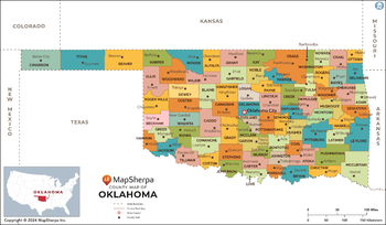
Oklahoma Counties Map - Extra Large
MapSherpa
This map has been created exclusively for MapSherpa, and designed for reference or business use. Clear and clean colors & fonts matched with cartographic research makes this map of the 77 Oklahoma counties easily readable and useful.
Page Size: 60 x 35 in (1524 x 888 mm)
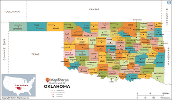
Oklahoma Counties Map - Large
MapSherpa
This map has been created exclusively for MapSherpa, and designed for reference or business use. Clear and clean colors & fonts matched with cartographic research makes this map of the 77 Oklahoma counties easily readable and useful.
Page Size: 48 x 28 in (1219 x 711 mm)
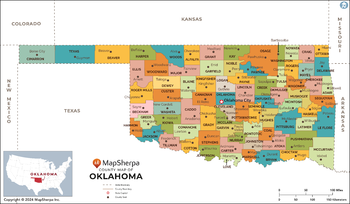
Oklahoma Counties Map - Standard
MapSherpa
This map has been created exclusively for MapSherpa, and designed for reference or business use. Clear and clean colors & fonts matched with cartographic research makes this map of the 77 Oklahoma counties easily readable and useful.
Page Size: 36 x 21 in (914 x 533 mm)
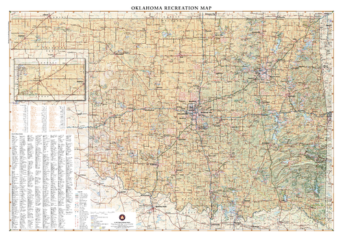
Oklahoma Recreation Wall Map
Benchmark Maps
Oklahoma lies where the sweeping prairies of the Great Plains meet the western shoulder of the Ozark Mountains. This wall map illustrates The Sooner State’s array of country roads and recreation opportunities.
Page Size: 40 x 28 in (1016 x 711 mm)
No search results