


MapSherpa Catalog
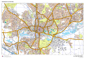
Northampton A-Z Street Map
A-Z Maps
This up-to-date A-Z street map includes all of the 1,500 streets in and around Northampton, as well as: postcode districts, one-way streets and car parks, places of interest.
Page Size: 33.25 x 23.5 in (841 x 594 mm)
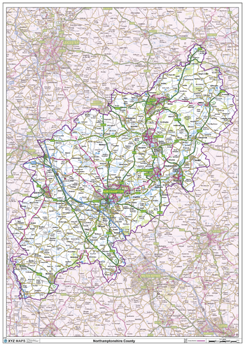
Northamptonshire County Map
XYZ Maps
This is a large ceremonial county map of Northamptonshire highlighting the county border, with the surrounding area faded out for excellent contrast. The map covers Brackley, Brixworth, Corby, Daventry, Earls Barton, Irthlingborough, Kettering, Northampton, Oundle, Rushden, Peterborough, Silverstone, Towcester and Wellingborough. The county map shows the latest County and Unitary Authority Boundaries, Overlaid on a Clear and Easy to Read Ordnance Survey map.
Page Size: 33.25 x 47 in (841 x 1189 mm)
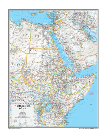
Northeastern Africa - Atlas of the World, 10th Edition
National Geographic
Egypt, South Sudan, Sudan
Page Size: 22 x 28 in (559 x 711 mm)
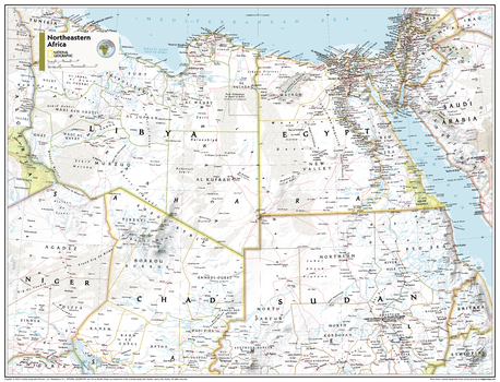
Northeastern Africa - Atlas of the World, 11th Edition
National Geographic
This Northeastern Africa map of physical and political features can fit in any space. Showcasing the region in stunning detail with state-of-the-art cartographic techniques delivering accuracy and exceptional quality, the innovative and engaging design makes the content easily accessible and user-friendly.
Ideal for classrooms with an emphasis on teaching geography or environmental themes. The inclusion of physical features gives your students a genuine feel for how our world appears.
This map uses a bright, easy to read color palette featuring blue oceans and stunning shaded relief that has been featured on National Geographic wall maps for over 75 years. It is drawn in the Transverse Mercator projection, which is a cylindrical map projection for nautical navigation because it represents lines of constant course.
This map is found in National Geographic's 11th Edition World Atlas and is now available as a stand alone product.
Page Size: 31.5 x 24 in (798 x 610 mm)
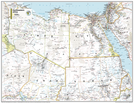
Northeastern Africa - Atlas of the World, 11th Edition - Compact
National Geographic
This Northeastern Africa map of physical and political features can fit in any space. Showcasing the region in stunning detail with state-of-the-art cartographic techniques delivering accuracy and exceptional quality, the innovative and engaging design makes the content easily accessible and user-friendly.
Ideal for classrooms with an emphasis on teaching geography or environmental themes. The inclusion of physical features gives your students a genuine feel for how our world appears.
This map uses a bright, easy to read color palette featuring blue oceans and stunning shaded relief that has been featured on National Geographic wall maps for over 75 years. It is drawn in the Transverse Mercator projection, which is a cylindrical map projection for nautical navigation because it represents lines of constant course.
This map is found in National Geographic's 11th Edition World Atlas and is now available as a stand alone product.
Page Size: 21.5 x 16.25 in (540 x 413 mm)
Northeastern Australia - Atlas of the World, 10th Edition
National Geographic
Page Size: 28 x 22 in (711 x 559 mm)
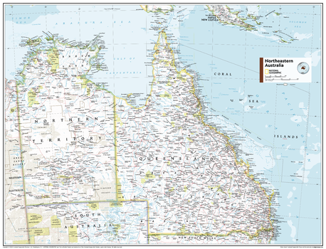
Northeastern Australia - Atlas of the World, 11th Edition
National Geographic
This Northeastern Australia map of political and physical features can fit in any space. Showcasing the region in stunning detail with state-of-the-art cartographic techniques delivering accuracy and exceptional quality, the innovative and engaging design makes the content easily accessible and user-friendly.
Ideal for classrooms with an emphasis on teaching geography or environmental themes. The inclusion of physical features gives your students a genuine feel for how our world appears.
This map uses a bright, easy to read color palette featuring blue oceans and stunning shaded relief that has been featured on National Geographic wall maps for over 75 years. Drawn in the Azimuthal Equidistant projection, this map ensures that all points on the map are at proportionally correct distances from the center point.
This map is found in National Geographic's 11th Edition World Atlas and is now available as a stand alone product.
Page Size: 31.5 x 24 in (798 x 610 mm)
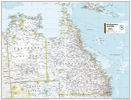
Northeastern Australia - Atlas of the World, 11th Edition - Compact
National Geographic
This Northeastern Australia map of political and physical features can fit in any space. Showcasing the region in stunning detail with state-of-the-art cartographic techniques delivering accuracy and exceptional quality, the innovative and engaging design makes the content easily accessible and user-friendly.
Ideal for classrooms with an emphasis on teaching geography or environmental themes. The inclusion of physical features gives your students a genuine feel for how our world appears.
This map uses a bright, easy to read color palette featuring blue oceans and stunning shaded relief that has been featured on National Geographic wall maps for over 75 years. Drawn in the Azimuthal Equidistant projection, this map ensures that all points on the map are at proportionally correct distances from the center point.
This map is found in National Geographic's 11th Edition World Atlas and is now available as a stand alone product.
Page Size: 21.5 x 16.25 in (540 x 413 mm)
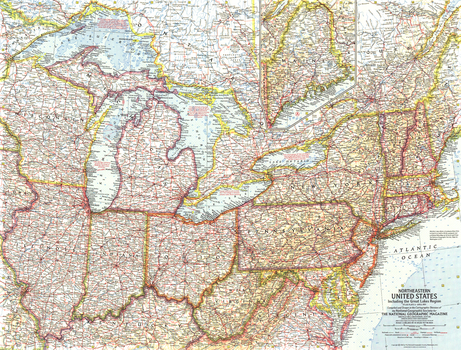
Northeastern United States - Published 1959
National Geographic
This map of the Northeastern United States features the Great Lakes region and an inset of northern Maine. Includes additional details such as auto ferry routes and notes about the Great Lakes water levels, locks, and canals. Published in April 1959 with the article "New Era on the Great Lakes," it is part of a series of six sectional maps of the United States published between 1958 and 1961.
Page Size: 25 x 19 in (633 x 480 mm)
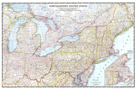
Northeastern United States - Published 1945
National Geographic
This detailed and attractive map of the northeastern United States, published in September 1945, was the first of the region that National Geographic published. State boundaries are clearly and colorfully marked, and a distinctive border frames the map in a style indicative of National Geographic's signature presentation.
Page Size: 41 x 27 in (1036 x 680 mm)

Northeastern United States Wall Map
Mapping Specialists
An attractive map of the Northeastern United States showing roads, towns and points of interest.
Page Size: 60 x 42 in (1524 x 1067 mm)
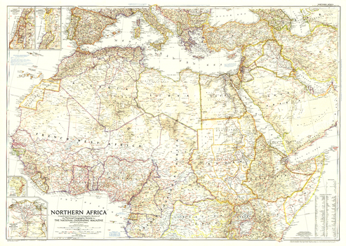
Northern Africa - Published 1954
National Geographic
This map features political adminstration in northern Africa, as well as notes about political changes in the Middle East, including the partitioning of Palestine. Published in December 1954 with the article "Safari from Congo to Cairo."
Page Size: 41 x 29.25 in (1041 x 739 mm)
Northern Alberta
Lucidmap
Create custom regional maps in Canada from this series of attractive detailed road maps covering most of the populated areas across Canada. Maps are developed from Lucidmap’s iconic Canadian cartography. Coverage of northern Alberta includes Wood Buffalo National Part in the north-east corner of the map area, Cold Lake Air Weapons Range in the south-east corner, Pine Le Moray Provincial Park in the south-west corner, and Thinahtea North Provincial Protected Area in the north-west corner. Communities in the coverage area include Grand Prairie, Peace River, Dawson Creek, Fort St. John, Fort McMurray and Fort Vermillion. Native scale is 1:500,000.
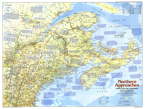
Northern Approaches Maine to the Maritimes - Published 1985
National Geographic
Explore Maine and the Maritimes with this educational map of the Northern Approaches. Home to colonies of English, French, Scottish, and Dutch settlers, this region of the United States and Canada boasts a fascinating and culturally rich maritime history. Published in February 1985 as part of the "Making of America" series.
Page Size: 27.25 x 20.5 in (687 x 518 mm)
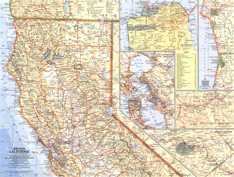
Northern California - Published 1966
National Geographic
This Northern California map contains five inset maps of popular sites, including the city of San Francisco complete with index. Published in May 1966 as half of a two-map with a map of Southern California.
Page Size: 20 x 15.25 in (505 x 384 mm)
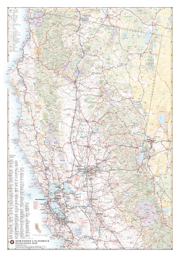
Northern California Recreation Wall Map
Benchmark Maps
Northern California has an identity all its own, containing such iconic natural features as Redwood forests, Yosemite Valley, Lake Tahoe, San Francisco Bay and Mt. Shasta. From the Sierra Nevada Mountains to the Pacific Coast, this wall map illustrates the northern half of The Golden State, highlighting its public lands and roadways that make them accessible to travelers of all interests.
Page Size: 28 x 40 in (711 x 1016 mm)
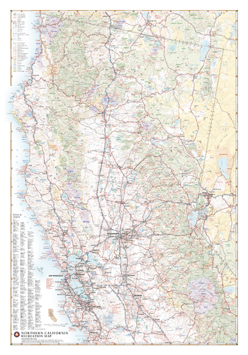
Northern California Recreation Wall Map – 26 inch
Benchmark Maps
Northern California has an identity all its own, containing such iconic natural features as Redwood forests, Yosemite Valley, Lake Tahoe, San Francisco Bay and Mt. Shasta. From the Sierra Nevada Mountains to the Pacific Coast, this wall map illustrates the northern half of The Golden State, highlighting its public lands and roadways that make them accessible to travelers of all interests.
Page Size: 26 x 37.25 in (660 x 943 mm)
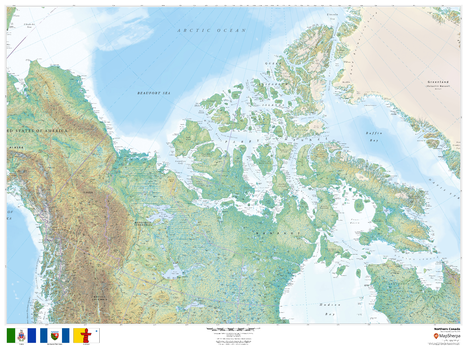
Northern Canada
MapSherpa
This beautiful map shows physical and political features for Northern Canada. Relief shading and the use of different colours by height above sea level are both informative and attractive.
Page Size: 48 x 36 in (1219 x 914 mm)
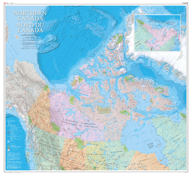
Northern Canada Wall Map - Bilingual - Atlas of Canada
Natural Resources Canada
This is a bilingual map. The vast Canadian geography north of approximately 50° latitude is depicted on the map Northern Canada / Nord du Canada. The 1:4 000 000 scale provides a detailed regional base of the north. The map shows the three territories, the northern areas of the provinces, and adjacent areas of Russia, Alaska, and Greenland. The surveyed locations of the Magnetic North Pole are mapped from 1831 to 2011. An inset of the Labrador coast shows the cultural connection of Nunatsiavut to the Inuit of Nunavut.
Page Size: 48 x 44 in (1219 x 1118 mm)
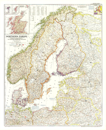
Northern Europe - Published 1954
National Geographic
This map of Northern Europe shows the boundaries of Poland and Russia as of June 1, 1954. It also notes American, British, and Russian occupation zones in Germany. Published in August 1954.
Page Size: 30 x 37 in (761 x 937 mm)
No search results