


MapSherpa Catalog
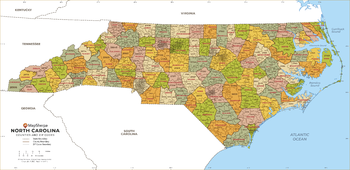
North Carolina ZIP Code Map with Counties - Large
MapSherpa
This map has been created exclusively for MapSherpa, and designed for business or reference use. Clear and clean colors & fonts matched with cartographic research makes this North Carolina Zip Code Map with Counties easily readable and useful. The map shows the 100 counties of North Carolina and the borders of the 802 zip codes across the Tar Heel State.
Page Size: 48 x 23.5 in (1219 x 591 mm)
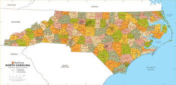
North Carolina ZIP Code Map with Counties - Standard
MapSherpa
This map has been created exclusively for MapSherpa, and designed for business or reference use. Clear and clean colors & fonts matched with cartographic research makes this North Carolina Zip Code Map with Counties easily readable and useful. The map shows the 100 counties of North Carolina and the borders of the 802 zip codes across the Tar Heel State.
Page Size: 36 x 17.5 in (914 x 443 mm)
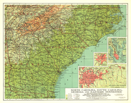
North Carolina, South Carolina, Georgia and Eastern Tennessee - Published 1926
National Geographic
Published in September 1926, this map of North Carolina, South Carolina, Georgia and Eastern Tennessee highlights these southern states just over sixty years after major events of the Civil War took place including the burning of Atlanta. Inset maps of the cities of Atlanta, Charlotte, and Charleston provide greater detail of the region.
Page Size: 20 x 15.75 in (504 x 397 mm)
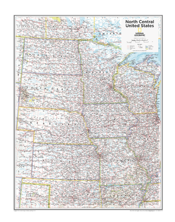
North Central U.S. - Atlas of the World, 10th Edition
National Geographic
Iowa, Kansas, Minnesota, Missouri, Nebraska, North Dakota, South Dakota
Page Size: 22 x 28 in (559 x 711 mm)
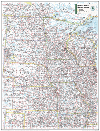
North Central U.S. - Atlas of the World, 11th Edition
National Geographic
This North Central USA map of physical and political features can fit in any space. Showcasing the region in stunning detail with state-of-the-art cartographic techniques delivering accuracy and exceptional quality, the innovative and engaging design makes the content easily accessible and user-friendly.
Ideal for classrooms with an emphasis on teaching geography or environmental themes. The inclusion of physical features gives your students a genuine feel for how our world appears.
This map uses a bright, easy to read color palette featuring blue oceans and stunning shaded relief that has been featured on National Geographic wall maps for over 75 years. It is drawn in the Albers Conic Equal-Area projection, which uses two standard parallels between which distortion is minimized, however scale and shape are not preserved.
This map is found in National Geographic's 11th Edition World Atlas and is now available as a stand alone product.
Page Size: 24 x 31.5 in (610 x 798 mm)
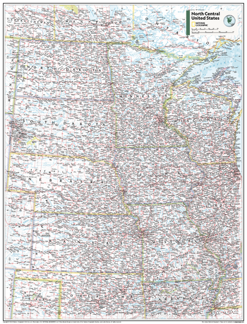
North Central U.S. - Atlas of the World, 11th Edition - Compact
National Geographic
This North Central USA map of physical and political features can fit in any space. Showcasing the region in stunning detail with state-of-the-art cartographic techniques delivering accuracy and exceptional quality, the innovative and engaging design makes the content easily accessible and user-friendly.
Ideal for classrooms with an emphasis on teaching geography or environmental themes. The inclusion of physical features gives your students a genuine feel for how our world appears.
This map uses a bright, easy to read color palette featuring blue oceans and stunning shaded relief that has been featured on National Geographic wall maps for over 75 years. It is drawn in the Albers Conic Equal-Area projection, which uses two standard parallels between which distortion is minimized, however scale and shape are not preserved.
This map is found in National Geographic's 11th Edition World Atlas and is now available as a stand alone product.
Page Size: 16.25 x 21.5 in (413 x 540 mm)
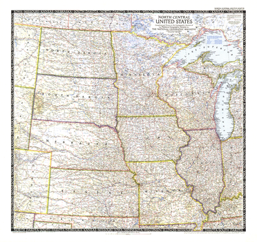
North Central United States - Published 1948
National Geographic
The North Central United States map is the sixth in a series of sectional maps of the United States. Published in June 1948 with two articles including "Mapping the Nation's Breadbasket," it provides a thorough look at the states of North Dakota, South Dakota, Minnesota, Nebraska, Iowa, Wisconsin, Illinois, Missouri, and Kansas.
Page Size: 29.25 x 27.5 in (738 x 694 mm)
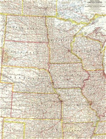
North Central United States - Published 1958
National Geographic
This map of the North Central United States details North Dakota, South Dakota, Minnesota, Nebraska, Iowa, Wisconsin, Illinois, Missouri, and Kansas. Published in November 1958 with article "The Upper Mississippi," it is part of a series of six sectional maps of the United States published between 1958 and 1961.
Page Size: 19 x 25 in (480 x 631 mm)

North Central United States Wall Map
Mapping Specialists
An attractive map of the North Central United States showing roads, towns and points of interest.
Page Size: 60 x 42 in (1524 x 1067 mm)
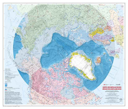
North Circumpolar Region Wall Map - Bilingual - Atlas of Canada
Natural Resources Canada
This bilingual map shows the geography of the northern circumpolar region, north of approximately 55 degrees, at a scale of 1:9 000 000. The map uses the azimuthal equidistant projection. It includes all international boundaries, as well as the Canadian provincial and territorial boundaries and Canada's 200 nautical mile offshore exclusive economic zone. National capital cities are shown, as are other cities, towns, villages and hamlets. Some seasonally populated places are also included. The map displays a number of significant northern features, including the median sea ice extent for September 1981 to 2010, the tree line, undersea relief, land relief, the Magnetic North Pole, glaciers, ice fields and coastal ice shelves. Many of the physiographic and hydrographic features are labelled.
Page Size: 43 x 36.5 in (1087 x 921 mm)
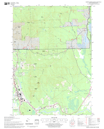
North Conway East Quadrangle, New Hampshire-Vermont
United States Forest Service
United States Forestry Service topographical map of North Conway East, New Hampshire-Vermont
Page Size: 21.75 x 27 in (552 x 686 mm)
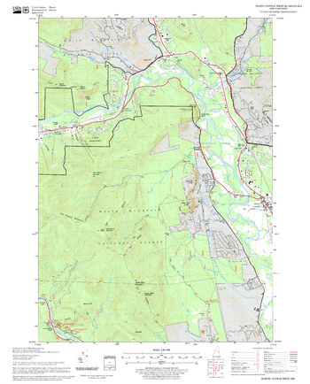
North Conway West Quadrangle, New Hampshire-Vermont
United States Forest Service
United States Forestry Service topographical map of North Conway West, New Hampshire-Vermont
Page Size: 21.75 x 27 in (552 x 686 mm)
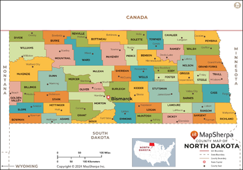
North Dakota Counties Map - Extra Large
MapSherpa
This map has been created exclusively for MapSherpa, and designed for reference or business use. Clear and clean colors & fonts matched with cartographic research makes this map of the 53 North Dakota counties easily readable and useful.
Page Size: 60 x 42 in (1524 x 1067 mm)
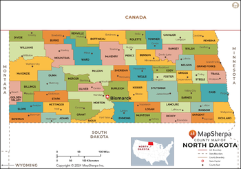
North Dakota Counties Map - Large
MapSherpa
This map has been created exclusively for MapSherpa, and designed for reference or business use. Clear and clean colors & fonts matched with cartographic research makes this map of the 53 North Dakota counties easily readable and useful.
Page Size: 48 x 33.75 in (1219 x 853 mm)
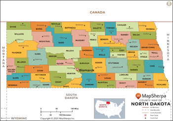
North Dakota Counties Map - Standard
MapSherpa
This map has been created exclusively for MapSherpa, and designed for reference or business use. Clear and clean colors & fonts matched with cartographic research makes this map of the 53 North Dakota counties easily readable and useful.
Page Size: 36 x 25.25 in (914 x 640 mm)
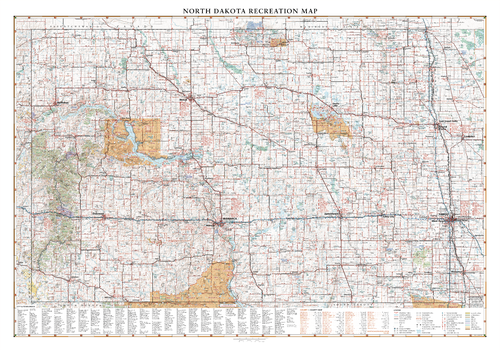
North Dakota Recreation Wall Map
Benchmark Maps
North Dakota is traversed by east to west by I-94 from Fargo to Theodore Roosevelt National Park and the Little Missouri National Grassland. This wall map highlights road and recreation details including park & monuments, boating & fishing access, campgrounds, historic sites, and more.
Page Size: 40 x 28 in (1016 x 711 mm)
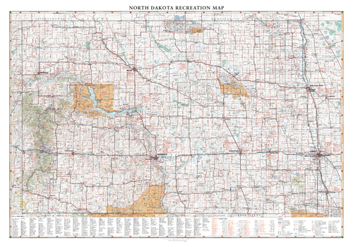
North Dakota Recreation Wall Map – 26 inch
Benchmark Maps
North Dakota is traversed by east to west by I-94 from Fargo to Theodore Roosevelt National Park and the Little Missouri National Grassland. This wall map highlights road and recreation details including park & monuments, boating & fishing access, campgrounds, historic sites, and more.
Page Size: 37.25 x 26 in (943 x 660 mm)
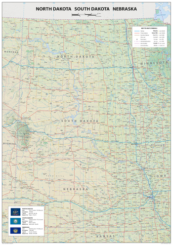
North Dakota South Dakota Nebraska
Sparrow Maps
A detailed physical map of North and South Dakota and Nebraska, USA, with land cover and relief features and including National Parks showing administrative divisions, state capitals, county seats and other settlements, roads and airports. The state flag, area and population are included for each state. One of a series of attractive maps of US states giving a comprehensive overview.
Page Size: 23.5 x 33.25 in (594 x 841 mm)
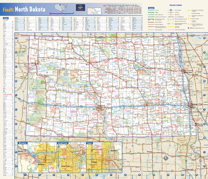
North Dakota State Wall Map
Globe Turner
This colorful, easy-to-read state map of North Dakota identifies all major thoroughfares, secondary roads, freeway interchanges, rest areas, distance markers, landmarks, recreational areas, and more. Shaded relief on the state map provides a three-dimensional sense of North Dakota’s topography. Detailed city inset maps of Bismarck, Fargo and Grand Forks are based on the latest street information from our cartographic experts. County and city indices make it simple to locate even the smallest town. City type sizes reflect the 2020 U.S. Census.
Page Size: 17.75 x 15.25 in (451 x 387 mm)
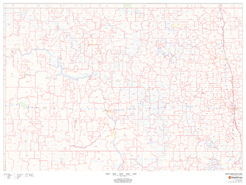
North Dakota ZIP Code Map
MapSherpa
This map of North Dakota shows ZIP codes overlaid on a road map. Base map features include municipality and county boundaries, major road network features, and state and national parks and conservation areas.
Page Size: 48 x 36 in (1219 x 914 mm)
No search results