


MapSherpa Catalog
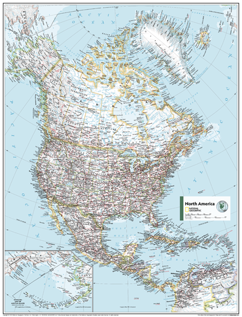
North America Political - Atlas of the World, 11th Edition - Compact
National Geographic
This North American map of political features can fit in any space. Showcasing the continent in stunning detail with state-of-the-art cartographic techniques delivering accuracy and exceptional quality, the innovative and engaging design makes the content easily accessible.
Ideal for classrooms with an emphasis on teaching geography or environmental theme, this map is perfect to help students develop navigation skills using latitude and longitude.
This map uses a bright, easy to read color palette featuring blue oceans and stunning shaded relief that has been featured on National Geographic wall maps for over 75 years. Drawn in the Azimuthal Equidistant projection, this map ensures that all points on the map are at proportionally correct distances from the center point.
Names of political and geographic features are carefully placed on the map to maintain legibility. Inset map features a scaled-up representation of the Bering Sea and Aleutian Islands region.
This map is found in National Geographic's 11th Edition World Atlas and is now available as a stand alone product.
Page Size: 16.25 x 21.5 in (413 x 540 mm)
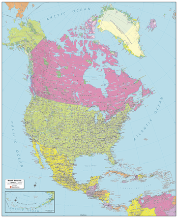
North America Political Map
MapSherpa
Created specifically for MapSherpa, this North America Political Map shows all the countries that make up the continent; from Canada and Greenland in the extreme north, to the end of Panama and the Caribbean Islands in the south. Each country and its capital and major cities are noted, as well as the primary physical features such as mountain ranges, rivers, and lakes. For both Canada and the United States, the individual Province and State boundaries & capitals are noted. With multiple sizes available, this is the perfect reference map for home, office or school use.
Page Size: 24.25 x 29.5 in (610 x 749 mm)
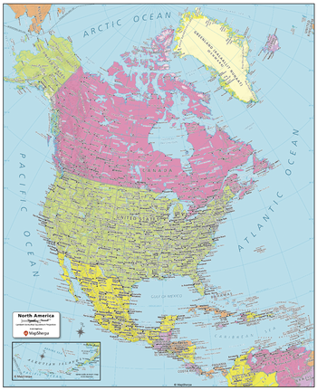
North America Political Map - Compact
MapSherpa
Created specifically for MapSherpa, this North America Political Map shows all the countries that make up the continent; from Canada and Greenland in the extreme north, to the end of Panama and the Caribbean Islands in the south. Each country and its capital and major cities are noted, as well as the primary physical features such as mountain ranges, rivers, and lakes. For both Canada and the United States, the individual Province and State boundaries & capitals are noted. With multiple sizes available, this is the perfect reference map for home, office or school use.
Page Size: 16 x 19.75 in (406 x 502 mm)
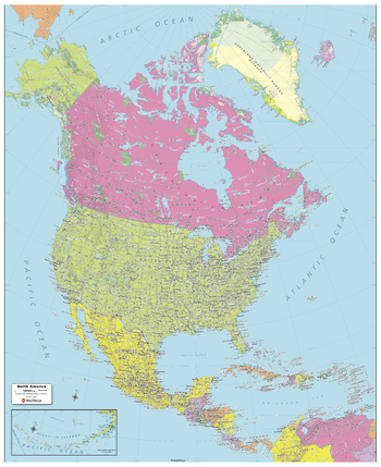
North America Political Map - Extra Large
MapSherpa
Created specifically for MapSherpa, this North America Political Map shows all the countries that make up the continent; from Canada and Greenland in the extreme north, to the end of Panama and the Caribbean Islands in the south. Each country and its capital and major cities are noted, as well as the primary physical features such as mountain ranges, rivers, and lakes. For both Canada and the United States, the individual Province and State boundaries & capitals are noted. With multiple sizes available, this is the perfect reference map for home, office or school use.
Page Size: 40 x 49 in (1016 x 1245 mm)
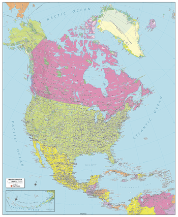
North America Political Map - Large
MapSherpa
Created specifically for MapSherpa, this North America Political Map shows all the countries that make up the continent; from Canada and Greenland in the extreme north, to the end of Panama and the Caribbean Islands in the south. Each country and its capital and major cities are noted, as well as the primary physical features such as mountain ranges, rivers, and lakes. For both Canada and the United States, the individual Province and State boundaries & capitals are noted. With multiple sizes available, this is the perfect reference map for home, office or school use.
Page Size: 32 x 39 in (813 x 991 mm)
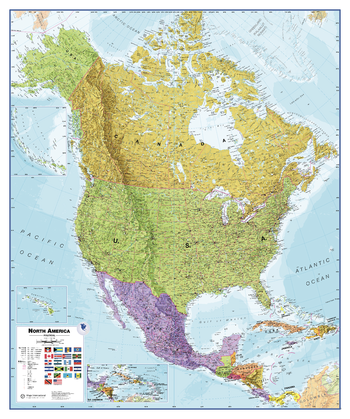
North America Political Wall Map
Maps International
Maps International's North America political wall map covers a huge expanse of land from Alaska and Canada through the United States down to Mexico, Central America and the Caribbean. North American political map detail: This political wall map of North America features countries shown in different colours, international boundaries and major transport networks. The wall map also contains a panel of flags relating to the countries shown in this North American continent map. Also shown is city population detail, capital cities and all the major towns and cities in this continent of North America.
Page Size: 39.5 x 47.25 in (1000 x 1200 mm)
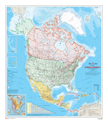
North America Wall Map - Atlas of Canada
Natural Resources Canada
This map shows North America at a scale of 1: 10 000 000. The map is a general reference map giving detailed coverage of populated places, transportation routes and the drainage network. Land areas are coloured to represent individual countries and dependencies. The map sheet has three inset maps showing the Aleutian Islands (Alaska), Hawaii and the North America relief with significant mountain elevations. There is also a table of road mileages between major cities.
Page Size: 34 x 39 in (864 x 991 mm)
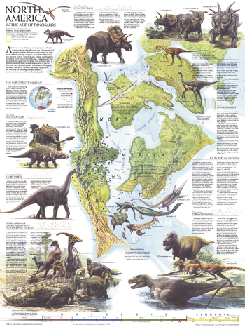
North America in the Age of the Dinosaurs - Published 1993
National Geographic
Explore North America in the Age of the Dinosaurs with this educational map. Published in January 1993, this striking work shows North America as it was 74 million years ago when Tyrannosaurs, Ceratopsians, and Sauropods roamed the region. Containing a wealth of information on the various dinosaur species, fossil distribution, and illustrations, this map accompanied the poster, "Dawn on the Delta: 74 Million Years Ago."
Page Size: 20.25 x 27 in (513 x 683 mm)
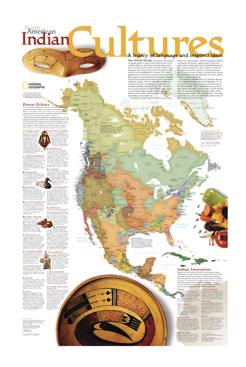
North American Indian Cultures
National Geographic
Long before 16th-century Europeans began to explore North America, the land was already home to an estimated 30 million people who spoke diverse languages and complex cultures. This legacy of language and inspired ideas is explored in this compelling North American Indian Cultures map. The map shows a broad sampling of linguistic families throughout the continent along with descriptions of each language group. A special inset highlights Native Americans innovations from parkas and snow goggles to new medicines and agricultural techniques. Coverage ranges from Central America to the farthest reaches of Canada and Alaska, as well as Greenland and the Caribbean Islands. A perfect complement to National Geographic's Indian Country map.
Page Size: 20 x 31 in (508 x 787 mm)
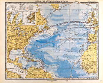
North Atlantic Ocean Map in German - Gotha Justus Perthes 1872 Atlas
Artokoloro
Map of the North Atlantic Ocean in German from the Gotha Justus Perthes 1872 Atlas. Full title: Nord-Atlantischer Ocean.
Page Size: 25.75 x 20.75 in (650 x 526 mm)
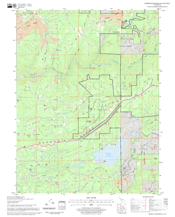
North Bloomfield Quadrangle, California
United States Forest Service
United States Department of Agriculture Forestry Service topographical map of North Bloomfield, Tahoe National Forest, California.
Page Size: 21.75 x 27 in (552 x 686 mm)
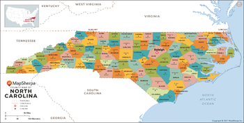
North Carolina Counties Map - Extra Large
MapSherpa
This map has been created exclusively for MapSherpa, and designed for reference or business use. Clear and clean colors & fonts matched with cartographic research makes this map of North Carolina Counties Map easily readable and useful. The map shows the 100 counties of North Carolina and their borders across the Tar Heel State.
Page Size: 60 x 30.5 in (1524 x 772 mm)
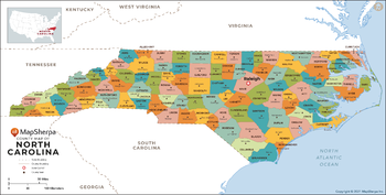
North Carolina Counties Map - Large
MapSherpa
This map has been created exclusively for MapSherpa, and designed for reference or business use. Clear and clean colors & fonts matched with cartographic research makes this map of North Carolina Counties Map easily readable and useful. The map shows the 100 counties of North Carolina and their borders across the Tar Heel State.
Page Size: 48 x 24.5 in (1219 x 618 mm)
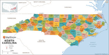
North Carolina Counties Map - Standard
MapSherpa
This map has been created exclusively for MapSherpa, and designed for reference or business use. Clear and clean colors & fonts matched with cartographic research makes this map of North Carolina Counties Map easily readable and useful. The map shows the 100 counties of North Carolina and their borders across the Tar Heel State.
Page Size: 36 x 18.25 in (914 x 463 mm)
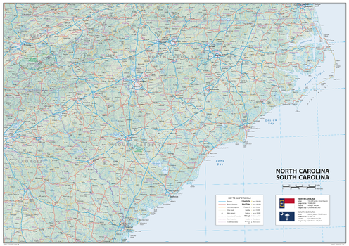
North Carolina South Carolina
Sparrow Maps
A detailed physical map of North and South Carolina, USA, with land cover and relief features and including National Parks showing administrative divisions, state capitals, county seats and other settlements, roads and airports. The state flag, area and population are included for each state. One of a series of attractive maps of US states giving a comprehensive overview.
Page Size: 33.25 x 23.5 in (841 x 594 mm)
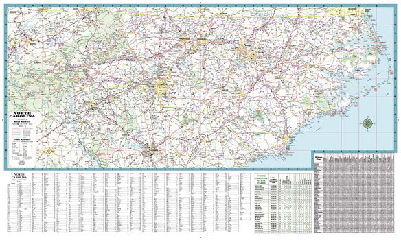
North Carolina State Road Map
GM Johnson
A Five Star Road Map of North Carolina. Also Includes: Complete Index, Mileage Chart and State Parks Chart.
Page Size: 39 x 23 in (991 x 584 mm)
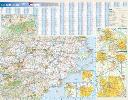
North Carolina State Wall Map
Globe Turner
This colorful, easy-to-read state map of North Carolina identifies all major thoroughfares, secondary roads, freeway interchanges, rest areas, distance markers, landmarks, recreational areas, and more. Shaded relief on the state map provides a three-dimensional sense of North Carolina's topography. Detailed city inset maps of Asheville, Charlotte, Fayetteville, Greensboro/Winston-Salem, Raleigh/Durham, and Wilmington are based on the latest street information from our cartographic experts. An inset of Great Smoky Mountains National Park provides must-see information on this recreational area. County and city indices make it simple to locate even the smallest town.
Page Size: 27.5 x 21.75 in (699 x 546 mm)
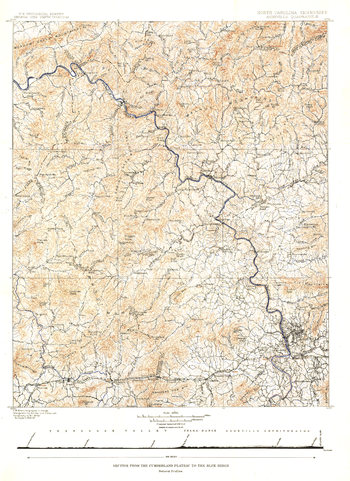
North Carolina Tennessee Cumerberland Blue Ridge - Published 1889
National Geographic
Published in October 1889, the "North Carolina-Tennessee: Asheville Sheet" map shows the area from the Cumberland Plateau to the Blue Ridge Mountains. This intricately drawn map shows the city of Asheville and other towns throughout the region. A unique historical map for collectors.
Page Size: 16 x 22 in (403 x 554 mm)
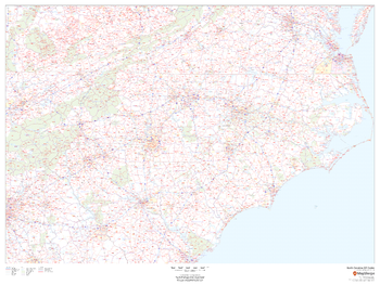
North Carolina ZIP Code Map
MapSherpa
This map of North Carolina shows ZIP codes overlaid on a road map. Base map features include county boundaries, major road network features, and state and national parks and conservation areas.
Page Size: 48 x 36 in (1219 x 914 mm)
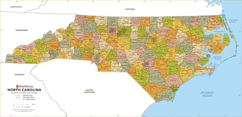
North Carolina ZIP Code Map with Counties - Extra Large
MapSherpa
This map has been created exclusively for MapSherpa, and designed for business or reference use. Clear and clean colors & fonts matched with cartographic research makes this North Carolina Zip Code Map with Counties easily readable and useful. The map shows the 100 counties of North Carolina and the borders of the 802 zip codes across the Tar Heel State.
Page Size: 60 x 29.25 in (1524 x 739 mm)
No search results