


MapSherpa Catalog

North & South Twin Lake
Mapping Specialists
An Attractive map of the lake showing a visual 3D representation of the lake bottom. Includes boat launches, rock area and vegetation. Land area is high resolution aerial imagery.
Page Size: 37.25 x 27.75 in (943 x 705 mm)
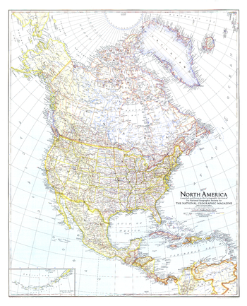
North America - Published 1942
National Geographic
The North America map of May 1942 shows the continent just months after Japan attacked Pearl Harbor, bringing the United States into World War II. U.S. Naval bases are noted and an inset map of the Aleutian Islands is included.
Page Size: 27.25 x 33.75 in (690 x 853 mm)
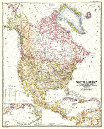
North America - Published 1952
National Geographic
The North America map of March 1952 includes Central America and the West Indies as well as inset maps of both the Aleutian and Diomede Islands. Of particular note is the absence of the Interstate Highway System in the United States which was yet to be built.
Page Size: 28 x 35 in (709 x 883 mm)
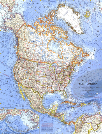
North America - Published 1964
National Geographic
At the time of this map's creation, the United States had imposed a diplomatic and commercial embargo on communist Cuba as Cold War tension between the United States and the USSR grew. The signs of this tension are evident in the distant early warning lines, missile tracking stations, and missile ranges shown on this detailed map of the North American continent. Published in April 1964.
Page Size: 19 x 25 in (480 x 631 mm)
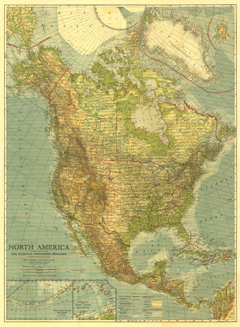
North America - Published 1924
National Geographic
Published in May 1924, this beautiful map of North America is colored to indicate elevation and ocean depth, and features boldly drawn state, provincial, and international boundaries. Inset maps of the Aleutian Islands and the eastern part of the West Indies complete this attractive presentation of the region.
Page Size: 28 x 38 in (707 x 963 mm)
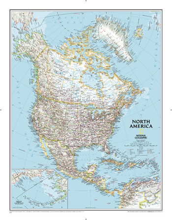
North America Classic
National Geographic
From the far northern reaches of the Arctic Sea to the Isthmus of Panama, this Classic style political map of North America features trademark National Geographic detail and accuracy. The bright color palette features blue oceans and stunning shaded relief that has been a signature of National Geographic wall maps for over 75 years. Political boundaries are clearly defined, and place names, airports, major roadways, and other geographical features are easy to read. In addition to Canada, the United States, Mexico, and Central America, coverage includes Iceland, Greenland, the island nations of the Caribbean, Venezuela, and most of Colombia. An inset map shows the Aleutian Islands off the coast of Alaska.
Page Size: 23.75 x 30.5 in (600 x 770 mm)
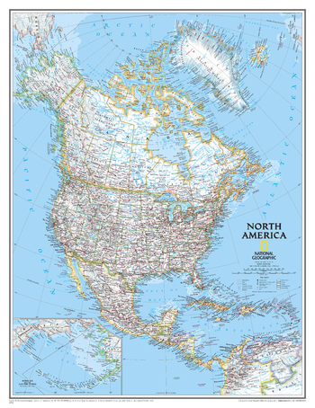
North America Classic [Enlarged]
National Geographic
From the far northern reaches of the Arctic Sea to the Isthmus of Panama, this Classic style political map of North America features trademark National Geographic detail and accuracy. The bright color palette features blue oceans and stunning shaded relief that has been a signature of National Geographic wall maps for over 75 years. Political boundaries are clearly defined, and place names, airports, major roadways, and other geographical features are easy to read. In addition to Canada, the United States, Mexico, and Central America, coverage includes Iceland, Greenland, the island nations of the Caribbean, Venezuela, and most of Colombia. An inset map shows the Aleutian Islands off the coast of Alaska. Enlarged maps provide an immersive experience in any home or office environment. The exceptional cartography is even easier to appreciate at the larger size.
Page Size: 35.75 x 46.5 in (908 x 1177 mm)
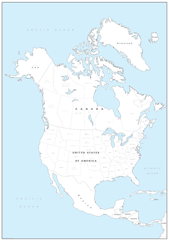
North America Colouring Map - Big
Cosmographics
Make learning fun and be creative. Buy this simple North America map as a gift, or for you and your family to colour and help learn the American states and Canadian provinces at the same time.
Page Size: 19.5 x 27.75 in (492 x 700 mm)
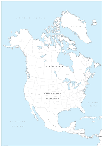
North America Colouring Map - Large
Cosmographics
Make learning fun and be creative. Buy this simple North America map as a gift, or for you and your family to colour and help learn the American states and Canadian provinces at the same time.
Page Size: 25.25 x 36 in (640 x 910 mm)
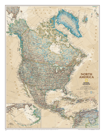
North America Executive
National Geographic
The Executive political map of North America is a striking example of the cartographic excellence National Geographic is known for. From the far northern reaches of the Arctic to the crown of South America, the antique color palette, stunning shaded relief, and easy-to-read fonts make this map both beautiful and functional. International boundaries are clearly defined and thousands of place names, waterbodies, mountain ranges, airports, major highways and roads, national parks and more are included. In addition to Canada, the United States, Mexico, and Central America, coverage includes Iceland, Greenland, the island nations of the Caribbean, Venezuela, and Colombia. An inset map provides detail of the Bering Sea and the Aleutian Islands.
Page Size: 23.75 x 30.5 in (600 x 770 mm)
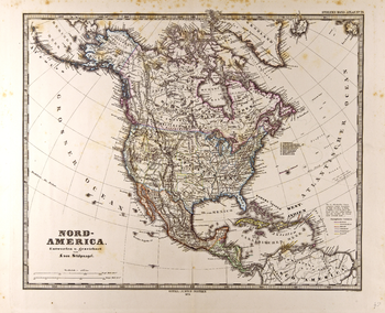
North America Map in German - Gotha Justus Perthes 1872 Atlas
Artokoloro
Map of North America in German from the Gotha Justus Perthes 1872 Atlas. Full title: Nord-America.
Page Size: 24.5 x 19.75 in (617 x 501 mm)
North America Physical
Maps International
This physical map of North America features the natural terrain of the land, with countries marked and international borders shown. The map's key helps to identify the land elevation and water depth. This North American physical map also contains city population detail, capital cities and all the major towns and cities in this continent of North America.
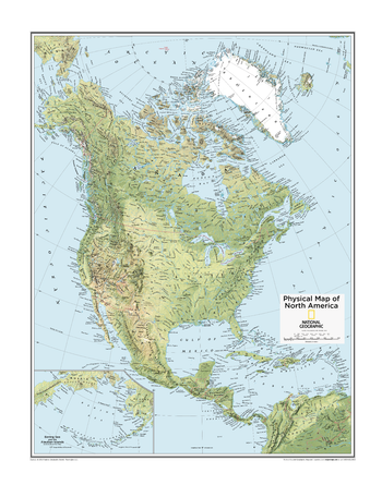
North America Physical - Atlas of the World, 10th Edition
National Geographic
Page Size: 22 x 28 in (559 x 711 mm)
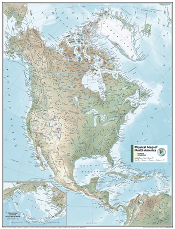
North America Physical - Atlas of the World, 11th Edition
National Geographic
This North American map of physical features can fit in any space. Showcasing the continent in stunning detail with state-of-the-art cartographic techniques delivering accuracy and exceptional quality, the innovative and engaging design makes the content easily accessible.
Ideal for classrooms with an emphasis on teaching geography or environmental themes. Physical wall maps give your students a genuine feel for how the continent appears.
This map uses a bright, easy to read color palette featuring blue oceans and stunning shaded relief that has been featured on National Geographic wall maps for over 75 years. Drawn in the Azimuthal Equidistant projection, this map ensures that all points on the map are at proportionally correct distances from the center point. Names of geographic features are carefully placed on the map to maintain legibility. Inset map features enlarged Bering Sea and Aleutian Islands regions.
This map is found in National Geographic's 11th Edition World Atlas and is now available as a stand alone product.
Page Size: 24 x 31.5 in (610 x 798 mm)
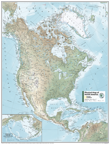
North America Physical - Atlas of the World, 11th Edition - Compact
National Geographic
This North American map of physical features can fit in any space. Showcasing the continent in stunning detail with state-of-the-art cartographic techniques delivering accuracy and exceptional quality, the innovative and engaging design makes the content easily accessible.
Ideal for classrooms with an emphasis on teaching geography or environmental themes. Physical wall maps give your students a genuine feel for how the continent appears.
This map uses a bright, easy to read color palette featuring blue oceans and stunning shaded relief that has been featured on National Geographic wall maps for over 75 years. Drawn in the Azimuthal Equidistant projection, this map ensures that all points on the map are at proportionally correct distances from the center point. Names of geographic features are carefully placed on the map to maintain legibility. Inset map features enlarged Bering Sea and Aleutian Islands regions.
This map is found in National Geographic's 11th Edition World Atlas and is now available as a stand alone product.
Page Size: 16.25 x 21.5 in (413 x 540 mm)
North America Political
Maps International
This political map of North America features countries shown in different colours, international boundaries and major transport networks. Also shown is city population detail, capital cities and all the major towns and cities in this continent of North America
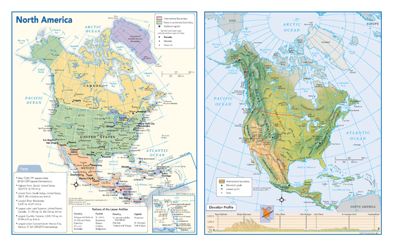
North America Political & Physical Continent Map
Globe Turner
This map of the North American continent combines two maps in one - a vivid political map of North America showing all of the countries and major cities as well as a colorful topographic physical map depicting all of the major physical features in North America, including a cross-continent elevation profile. The political map includes a call-out box with interesting facts about the continent.
Page Size: 17 x 10.75 in (432 x 271 mm)
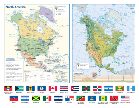
North America Political & Physical Continent Map with Country Flags
Globe Turner
This map of the North American continent combines two maps in one - a vivid political map of North America showing all of the countries and major cities as well as a colorful topographic physical map depicting all of the major physical features in North America, including a cross-continent elevation profile. The political map includes a call-out box with interesting facts about the continent. The map also includes all 23 flags each North American country.
Page Size: 17 x 13.25 in (432 x 337 mm)
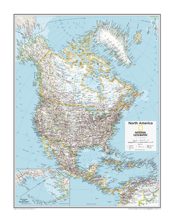
North America Political - Atlas of the World, 10th Edition
National Geographic
Page Size: 22 x 28 in (559 x 711 mm)
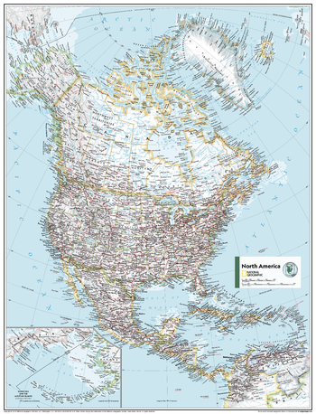
North America Political - Atlas of the World, 11th Edition
National Geographic
This North American map of political features can fit in any space. Showcasing the continent in stunning detail with state-of-the-art cartographic techniques delivering accuracy and exceptional quality, the innovative and engaging design makes the content easily accessible.
Ideal for classrooms with an emphasis on teaching geography or environmental theme, this map is perfect to help students develop navigation skills using latitude and longitude.
This map uses a bright, easy to read color palette featuring blue oceans and stunning shaded relief that has been featured on National Geographic wall maps for over 75 years. Drawn in the Azimuthal Equidistant projection, this map ensures that all points on the map are at proportionally correct distances from the center point.
Names of political and geographic features are carefully placed on the map to maintain legibility. Inset map features a scaled-up representation of the Bering Sea and Aleutian Islands region.
This map is found in National Geographic's 11th Edition World Atlas and is now available as a stand alone product.
Page Size: 24 x 31.5 in (610 x 798 mm)
No search results