


MapSherpa Catalog
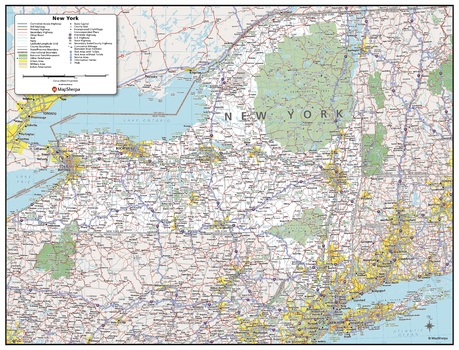
New York State Wall Map - Compact
MapSherpa
This detailed wall map of New York is perfect for both educational and business purposes. The easy-to-read map features vibrant colors and clear labeling of cities, counties, highways, and geographical features. All national and state highways that connect the state are all clearly labelled on the map, while the legend notes the different road and land use classifications such as urban, park, military, and many more. The boundaries of each county in the state are defined and named clearly. Whether you are a student, teacher, business person or geography enthusiast, this map is a valuable addition to any space.
Page Size: 21 x 16 in (533 x 406 mm)
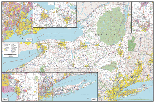
New York State Wall Map - Extra Large
MapSherpa
This detailed wall map of New York is perfect for both educational and business purposes. The easy-to-read map features vibrant colors and clear labeling of cities, counties, highways, and geographical features. All national and state highways that connect the state are all clearly labelled on the map, while the legend notes the different road and land use classifications such as urban, park, military, and many more. The boundaries of each county in the state are defined and named clearly. Whether you are a student, teacher, business person or geography enthusiast, this map is a valuable addition to any space.
Page Size: 60 x 40 in (1524 x 1016 mm)
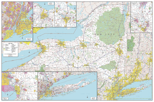
New York State Wall Map - Large
MapSherpa
This detailed wall map of New York is perfect for both educational and business purposes. The easy-to-read map features vibrant colors and clear labeling of cities, counties, highways, and geographical features. All national and state highways that connect the state are all clearly labelled on the map, while the legend notes the different road and land use classifications such as urban, park, military, and many more. The boundaries of each county in the state are defined and named clearly. Whether you are a student, teacher, business person or geography enthusiast, this map is a valuable addition to any space.
Page Size: 48 x 32 in (1219 x 813 mm)
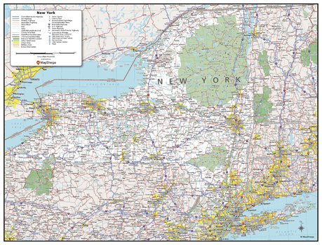
New York State Wall Map - Poster
MapSherpa
This detailed wall map of New York is perfect for both educational and business purposes. The easy-to-read map features vibrant colors and clear labeling of cities, counties, highways, and geographical features. All national and state highways that connect the state are all clearly labelled on the map, while the legend notes the different road and land use classifications such as urban, park, military, and many more. The boundaries of each county in the state are defined and named clearly. Whether you are a student, teacher, business person or geography enthusiast, this map is a valuable addition to any space.
Page Size: 31.5 x 24 in (800 x 610 mm)
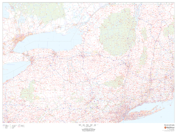
New York ZIP Code Map
MapSherpa
This map of New York shows ZIP codes overlaid on a road map. Base map features include county boundaries, major road network features, and state and national parks and conservation areas.
Page Size: 48 x 36 in (1219 x 914 mm)
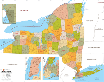
New York ZIP Code Map with Counties - Extra Large
MapSherpa
This map has been created exclusively for MapSherpa, and designed for business or reference use. Clear and clean colors & fonts matched with cartographic research makes this map of New York's counties and ZIP codes easily readable and useful.
Page Size: 60 x 47.25 in (1524 x 1197 mm)
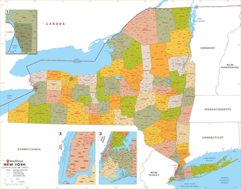
New York ZIP Code Map with Counties - Large
MapSherpa
This map has been created exclusively for MapSherpa, and designed for business or reference use. Clear and clean colors & fonts matched with cartographic research makes this map of New York's counties and ZIP codes easily readable and useful.
Page Size: 48 x 37.75 in (1219 x 958 mm)
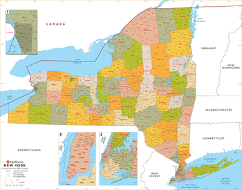
New York ZIP Code Map with Counties - Standard
MapSherpa
This map has been created exclusively for MapSherpa, and designed for business or reference use. Clear and clean colors & fonts matched with cartographic research makes this map of New York's counties and ZIP codes easily readable and useful.
Page Size: 36 x 28.5 in (914 x 718 mm)
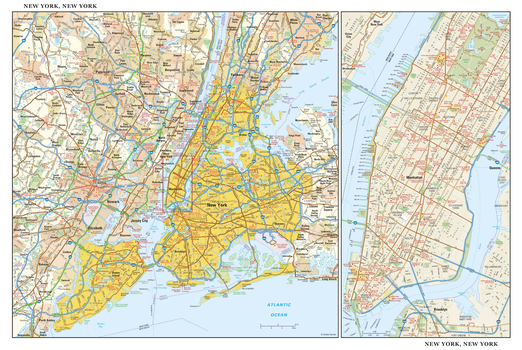
New York, New York Wall Map, large
Globe Turner
This detailed reference map combines two maps in one - a regional map of New York that includes all five boroughs and northeastern New Jersey plus a street-level map of Midtown and Lower Manhattan. The regional map - including all of Manhattan, Brooklyn, Queens, Bronx, and Staten Island - shows the area's cities and towns, highways and roads, and a variety of points of interest. The inset map of Midtown and Lower Manhattan shows highways, streets, parks, landmarks, and other points of interest. The Financial District, Little Italy, Greenwich Village, the Theater District and the areas around the southern half of Central Park are among the neighborhoods shown on this map. Also available in a small size of 29.00" high X 43.25" wide.
Page Size: 43.5 x 29 in (1099 x 737 mm)
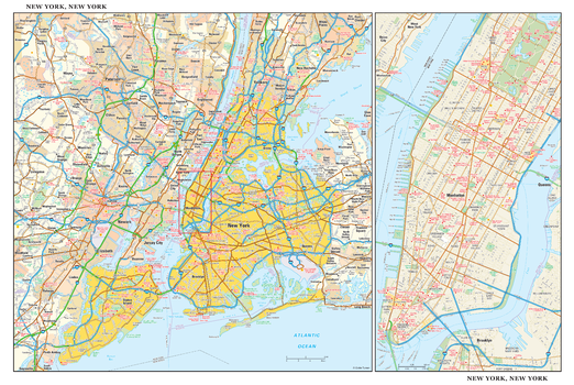
New York, New York Wall Map, small
Globe Turner
This detailed reference map combines two maps in one - a regional map of New York that includes all five boroughs and northeastern New Jersey plus a street-level map of Midtown and Lower Manhattan. The regional map - including all of Manhattan, Brooklyn, Queens, Bronx, and Staten Island - shows the area's cities and towns, highways and roads, and a variety of points of interest. The inset map of Midtown and Lower Manhattan shows highways, streets, parks, landmarks, and other points of interest. The Financial District, Little Italy, Greenwich Village, the Theater District and the areas around the southern half of Central Park are among the neighborhoods shown on this map. Also available in a large size of 29.00" high X 43.25" wide.
Page Size: 21.75 x 14.5 in (549 x 368 mm)
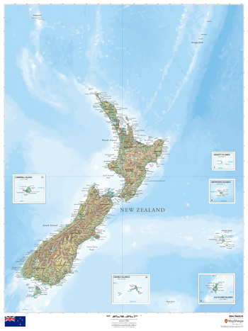
New Zealand
MapSherpa
This beautiful map shows physical and political features for New Zealand and surrounding areas. Relief shading and the use of different colours by height above sea level are both informative and attractive.
Page Size: 36 x 48 in (914 x 1219 mm)
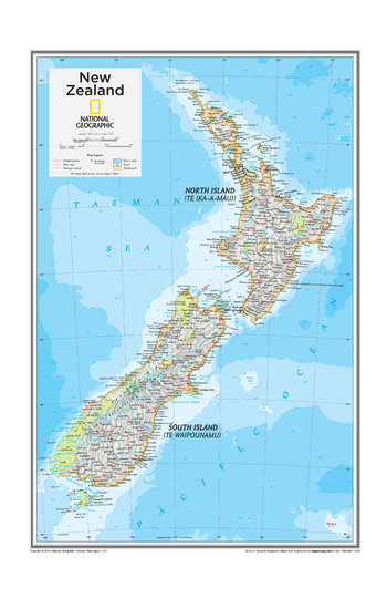
New Zealand - Atlas of the World, 10th Edition
National Geographic
New Zealand
Page Size: 14 x 22 in (356 x 559 mm)
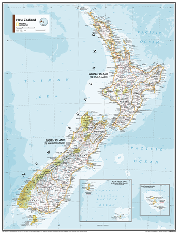
New Zealand - Atlas of the World, 11th Edition
National Geographic
This New Zealand map of political and physical can fit in any space. Showcasing the country in stunning detail with state-of-the-art cartographic techniques delivering accuracy and exceptional quality, the innovative and engaging design makes the content easily accessible and user-friendly.
Ideal for classrooms with an emphasis on teaching geography or environmental themes. The inclusion of physical features gives your students a genuine feel for how our world appears.
This map uses a bright, easy to read color palette featuring blue oceans and stunning shaded relief that has been featured on National Geographic wall maps for over 75 years. It is drawn in the Oblique Mercator projection, which is a cylindrical map projection for nautical navigation because it represents lines of constant course.
This map is found in National Geographic's 11th Edition World Atlas and is now available as a stand alone product.
Page Size: 24 x 31.5 in (610 x 798 mm)
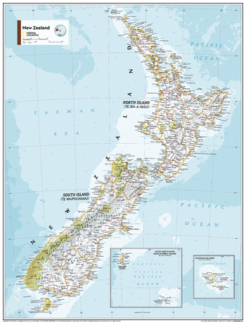
New Zealand - Atlas of the World, 11th Edition - Compact
National Geographic
This New Zealand map of political and physical can fit in any space. Showcasing the country in stunning detail with state-of-the-art cartographic techniques delivering accuracy and exceptional quality, the innovative and engaging design makes the content easily accessible and user-friendly.
Ideal for classrooms with an emphasis on teaching geography or environmental themes. The inclusion of physical features gives your students a genuine feel for how our world appears.
This map uses a bright, easy to read color palette featuring blue oceans and stunning shaded relief that has been featured on National Geographic wall maps for over 75 years. It is drawn in the Oblique Mercator projection, which is a cylindrical map projection for nautical navigation because it represents lines of constant course.
This map is found in National Geographic's 11th Edition World Atlas and is now available as a stand alone product.
Page Size: 16.25 x 21.5 in (413 x 540 mm)
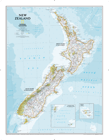
New Zealand Classic
National Geographic
The reference map of New Zealand uses National Geographic's signature Classic style with blue oceans and stunning shaded relief. The map shows this island nation in great detail, from the subtropical North Island (Te Ika-a-Maui) to the glacial carved valleys of Fiordland on the South Island (Te Waipounamu). The North Island is best known for large volcanic lakes and the cities of Auckland and Wellington. The South Island is famous for the Southern Alps that run along the spine of the island. The highest point in the country is Aoraki (Mount Cook) and is found in the Southern Alps.The first settlers of New Zealand were the Maori from Polynesia, the names on the map reflect this history with both English and Maori variants. The map also features a transportation network including highways, roads, passenger railroads, and major airports. All National Parks are also shown.
Page Size: 23.5 x 30.25 in (597 x 768 mm)
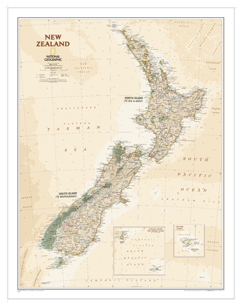
New Zealand Executive
National Geographic
The reference map of New Zealand uses National Geographic's Executive style with an antique-style color palette and stunning shaded relief. The map shows this island nation in great detail, from the subtropical North Island (Te Ika-a-Maui) to the glacial carved valleys of Fiordland on the South Island (Te Waipounamu). The North Island is best known for large volcanic lakes and the cities of Auckland and Wellington. The South Island is famous for the Southern Alps that run along the spine of the island. The highest point in the country is Aoraki (Mount Cook) and is found in the Southern Alps.The first settlers of New Zealand were the Maori from Polynesia, the names on the map reflect this history with both English and Maori variants. The map also features a transportation network including highways, roads, passenger railroads, and major airports. All National Parks are also shown.
Page Size: 23.5 x 30.25 in (597 x 768 mm)
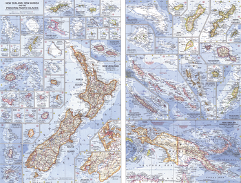
New Zealand, New Guinea and the Principal Pacific Islands - Published 1962
National Geographic
This map of the Pacific Ocean includes Australia, the Pacific Islands, and the continental coastlines that border the ocean. Inset maps provide detail of some of the larger islands groups. Published in April 1962, this map accompanied an article on New Zealand and the map of New Zealand, New Guinea and the Principal Pacific Islands.
Page Size: 25 x 19 in (633 x 480 mm)
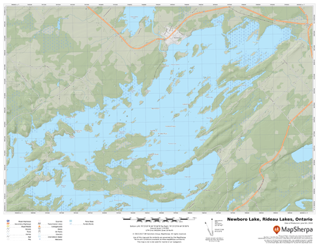
Newboro Lake, Rideau Lakes, Ontario
MapSherpa
A cartographically beautiful map of Newboro Lake, Rideau Lakes, Ontario ideal for showing off cottages, resorts, lakes and other favourite places.
Page Size: 22 x 17 in (559 x 432 mm)
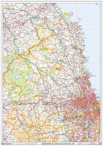
Newcastle - NW - Postcode Wall Map
XYZ Maps
The Newcastle Postcode Sector Wall Map shows detailed postcode sector boundaries (NW1 1, NW1 2) on a comprehensive background and is perfect for determining postcode boundaries for sales areas, planning mailshots and also an excellent reference for logistics. This wall map covers the whole of the NW Postcode Area.
Page Size: 33.25 x 47 in (841 x 1189 mm)
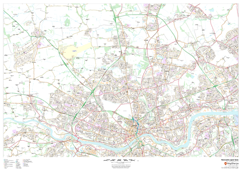
Newcastle upon Tyne
MapSherpa
This map of Newcastle upon Tyne shows detailed street level information including extensive street labelling. Ideal for planning of deliveries, home services, sales territories, real estate and much more.
Page Size: 47 x 33.25 in (1189 x 841 mm)
No search results