


MapSherpa Catalog
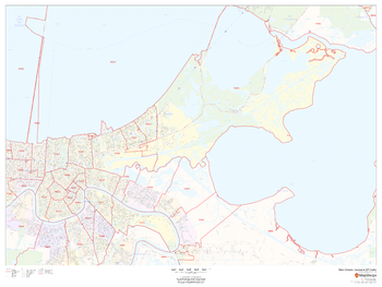
New Orleans, Louisiana ZIP Codes
MapSherpa
This map of New Orleans, Louisiana shows ZIP code areas overlaid on a road map. Ideal for planning of deliveries, home services, sales territories, real estate and much more. Base map features include all roads with major roads and highways labelled; neighborhood names; railways; and high level land use such as parks and recreation areas, industrial areas and hospital campuses.
Page Size: 48 x 36 in (1219 x 914 mm)
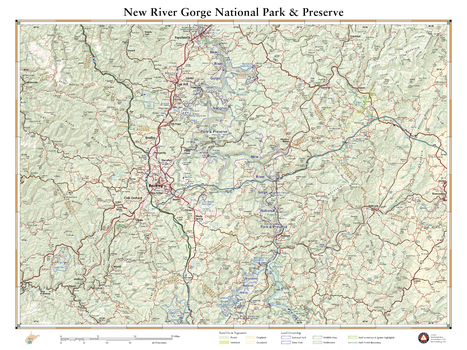
New River Gorge National Park
Benchmark Maps
Contrary to its name, the New River is one of North America’s oldest rivers and has been cutting and carving the gorge to which it lends its title for millions of years. Up to 1,000 feet deep in places, the gorge is a hot spot for rock climbing and whitewater rafting in West Virginia. New River Gorge National River protects 53 river miles of this forested canyon along with remnants of the region’s mining and timber history. This wall map illustrates the area’s diverse terrain, public land ownership, and recreation sites.
Page Size: 26 x 34.75 in (660 x 881 mm)
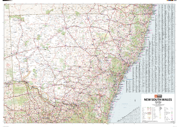
New South Wales State Wall Map
Hema Maps
A state map of New South Wales accompanied by touring information and relevant regional and city maps.
Page Size: 40 x 28.25 in (1016 x 716 mm)

New South Wales State Wall Map
Hardie Grant
New South Wales state map coverage which also includes the Australian Capital Territory. This map clearly shows dual carriageways, national highways, and other roads, distances between towns, route numbers, towns with an indication of the size of each town and also comprehensive listing of towns, localities & homesteads. Also included are Visitor Information Centres, National, State & Marine Parks . This is an easy to read map that will help you find your way around New South Wales with ease and is ideal for both travel & business. Maps are also available for other Australian states & territories for a comprehensive coverage of Australia.
Page Size: 39.5 x 27.25 in (1000 x 690 mm)
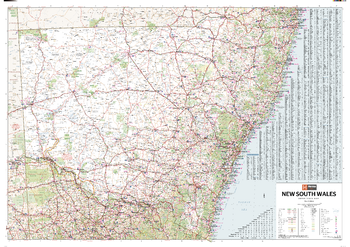
New South Wales Supermap
Hema Maps
A large state map of New South Wales accompanied by touring information and relevant regional and city maps.
Page Size: 55.75 x 39.25 in (1416 x 996 mm)
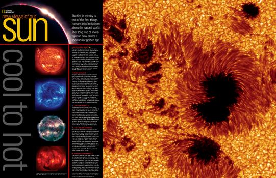
New Views of Our Sun, Cool to Hot - Published 2004
National Geographic
Recent technology has enabled us to view our sun in new and spectacular ways. This beautiful poster reveals five remarkable images of the sun captured by the Swedish 1-meter Solar Telescope in the Canary Islands, the Solar and Heliospheric Observatory's Extreme-Ultraviolet Imaging Telescope, the Transition Region and Coronal Explorer satellite, and Japanese satellite Yohkoh. Published in July 2004, this stunning poster was printed as half of a two-piece set with "Exploring Space Weather."
Page Size: 31.25 x 20.25 in (790 x 511 mm)
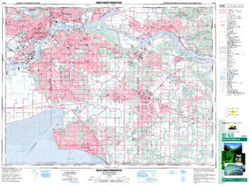
New Westminster - 92 G/2 - British Columbia
Natural Resources Canada
Canadian topographic map of New Westminster, British Columbia. NTS sheet 092G02 Edition 6.
Page Size: 34.75 x 26 in (880 x 659 mm)
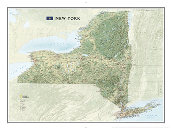
New York
National Geographic
National Geographic's wall map of New York brings the rich and diverse topography of the state to life in elegant detail. Stunning shaded relief and vibrant colorization distinguishes mountain ranges, forests, valleys, and other physical topography. Prominent peaks, major lakes, rivers, and reservoirs, and other geographic features are highlighted. In addition to hundreds of place names, this map includes the precise locations of cities, major roadways and railways, airports, ski resorts, and national and state parks. The Appalachian National Scenic Trail, a 2,180+ mile long public footpath that runs through fourteen eastern states is shown where it passes through New York as well. This striking map would be an attractive addition to any study or office.
Page Size: 40.5 x 30.25 in (1029 x 768 mm)
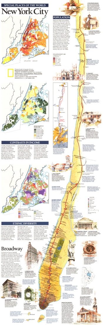
New York City - Published 1990
National Geographic
Published in September 1990, the New York City map is part of the "Special Places of the World" series. An abundance of text, notes, and several individual maps highlight such elements as population density, ethnic diversity, and income of the residents of New York City. Half of a two-map set, this map accompanied a map of Manhattan and three articles on the city.
Page Size: 10 x 31.25 in (253 x 791 mm)
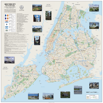
New York City The Five Boroughs
Sparrow Maps
A street map of the five boroughs – Manhattan, The Bronx, Brooklyn, Queens and Staten Island. Freeways, primary and secondary highways and neighbourhoods are named with major landmarks highlighted. A detailed timeline charts the city's development, with a list of building construction dates for its most iconic landmarks. Fascinating facts about some of the city's most famous landmarks and lavishly illustrated with images. A panel of information gives details of the areas and populations of each borough with its flag.
Page Size: 39.5 x 39.5 in (1000 x 1000 mm)
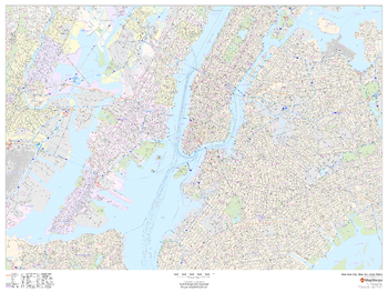
New York City, New York Inner Metro - Landscape
MapSherpa
This landscape-oriented map of central New York City, New York shows detailed street level information including extensive street labeling. Ideal for planning of deliveries, home services, sales territories, real estate and much more. Base map features include all roads with major roads and highways labelled; neighborhood names; railways; high level land use such as parks and recreation areas, industrial areas and hospital campuses; and a variety of points of interest including schools, libraries, stadiums, museums, border crossings and more.
Page Size: 48 x 36 in (1219 x 914 mm)
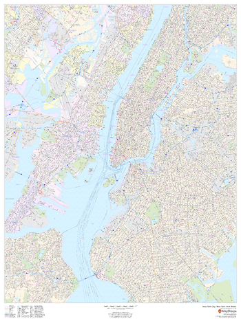
New York City, New York Inner Metro - Portrait
MapSherpa
This portrait-oriented map of central New York City, New York shows detailed street level information including extensive street labeling. Ideal for planning of deliveries, home services, sales territories, real estate and much more. Base map features include all roads with major roads and highways labelled; neighborhood names; railways; high level land use such as parks and recreation areas, industrial areas and hospital campuses; and a variety of points of interest including schools, libraries, stadiums, museums, border crossings and more.
Page Size: 36 x 48 in (914 x 1219 mm)
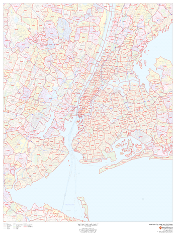
New York City, New York ZIP Codes
MapSherpa
This map of New York City shows ZIP code areas overlaid on a road map. Ideal for planning of deliveries, home services, sales territories, real estate and much more. Base map features include all roads with major roads and highways labelled; neighborhood names; railways; and high level land use such as parks and recreation areas, industrial areas and hospital campuses.
Page Size: 36 x 48 in (914 x 1219 mm)
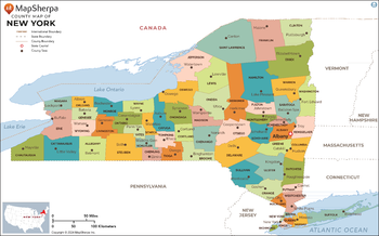
New York Counties Map - Extra Large
MapSherpa
This map has been created exclusively for MapSherpa, and designed for reference or business use. Clear and clean colors & fonts matched with cartographic research makes this map of the 62 New York counties easily readable and useful.
Page Size: 60 x 37.5 in (1524 x 950 mm)
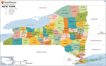
New York Counties Map - Large
MapSherpa
This map has been created exclusively for MapSherpa, and designed for reference or business use. Clear and clean colors & fonts matched with cartographic research makes this map of the 62 New York counties easily readable and useful.
Page Size: 48 x 30 in (1219 x 760 mm)
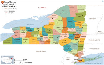
New York Counties Map - Standard
MapSherpa
This map has been created exclusively for MapSherpa, and designed for reference or business use. Clear and clean colors & fonts matched with cartographic research makes this map of the 62 New York counties easily readable and useful.
Page Size: 36 x 22.5 in (914 x 570 mm)
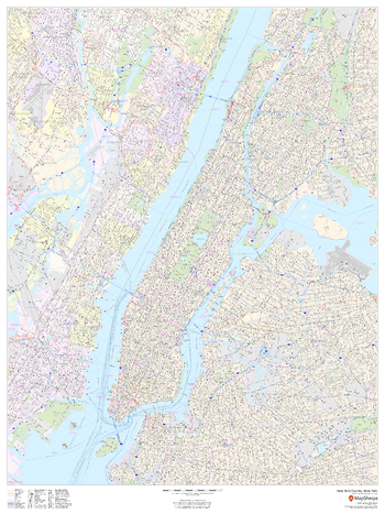
New York County, New York
MapSherpa
This map of New York County, New York shows detailed street level information including extensive street labeling. Ideal for planning of deliveries, home services, sales territories, real estate and much more. Base map features include all roads with major roads and highways labelled; neighborhood names; railways; high level land use such as parks and recreation areas, industrial areas and hospital campuses; and a variety of points of interest including schools, libraries, stadiums, museums, border crossings and more. ZIP code boundaries are shown as a secondary map feature.
Page Size: 36 x 48 in (914 x 1219 mm)
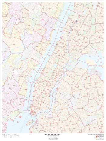
New York County, New York ZIP Codes
MapSherpa
This map of New York County, New York shows ZIP code areas overlaid on a road map. Ideal for planning of deliveries, home services, sales territories, real estate and much more. Base map features include all roads with major roads and highways labelled; neighborhood names; railways; and high level land use such as parks and recreation areas, industrial areas and hospital campuses.
Page Size: 36 x 48 in (914 x 1219 mm)
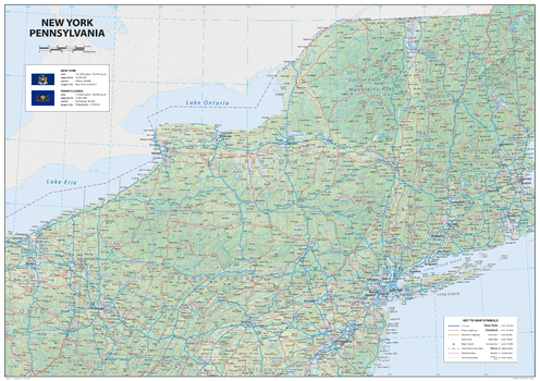
New York Pennsylvania
Sparrow Maps
A detailed physical map of New York and Pennsylvania, USA, with land cover and relief features and including National Parks showing administrative divisions, state capitals, county seats and other settlements, roads and airports. The state flag, area and population are included for each state. One of a series of attractive maps of US states giving a comprehensive overview.
Page Size: 33.25 x 23.5 in (841 x 594 mm)
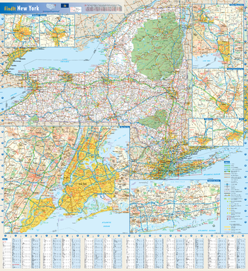
New York State Wall Map
Globe Turner
This colorful, easy-to-read state map of New York identifies all major thoroughfares, secondary roads, freeway interchanges, rest areas, distance markers, landmarks, recreational areas, and more. Shaded relief on the state map provides a three-dimensional sense of New York's topography. Detailed city inset maps of Albany, Binghamton, Buffalo, New York City, Rochester, Syracuse, and Utica are based on the latest street information from our cartographic experts. County and city indices make it simple to locate even the smallest town.
Page Size: 25 x 27 in (629 x 686 mm)
No search results