


MapSherpa Catalog
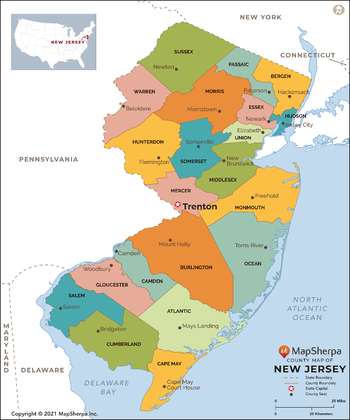
New Jersey Counties Map - Large
MapSherpa
This map has been created exclusively for MapSherpa, and designed for reference or business use. Clear and clean colors & fonts matched with cartographic research makes this map of New Jersey Counties Map easily readable and useful. The map shows the 21 counties of New Jersey and their borders across the Garden State.
Page Size: 48 x 57.75 in (1219 x 1463 mm)
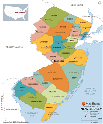
New Jersey Counties Map - Standard
MapSherpa
This map has been created exclusively for MapSherpa, and designed for reference or business use. Clear and clean colors & fonts matched with cartographic research makes this map of New Jersey Counties Map easily readable and useful. The map shows the 21 counties of New Jersey and their borders across the Garden State.
Page Size: 36 x 43.25 in (914 x 1097 mm)
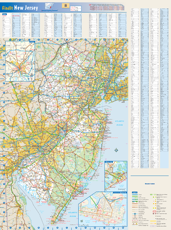
New Jersey State Wall Map
Globe Turner
This colorful, easy-to-read state map of New Jersey identifies all major thoroughfares, secondary roads, freeway interchanges, rest areas, distance markers, landmarks, recreational areas, and more. Shaded relief on the state map provides a three-dimensional sense of New Jersey’s topography. Detailed city inset maps of Atlantic City and Trenton are based on the latest street information from our cartographic experts. County and city indices make it simple to locate even the smallest town.
Page Size: 18.5 x 24.75 in (467 x 629 mm)
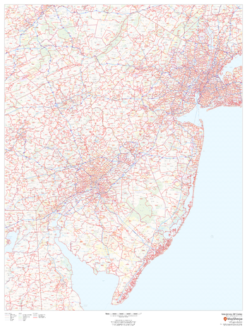
New Jersey ZIP Code Map
MapSherpa
This map of New Jersey shows ZIP code areas overlaid on a road map. Ideal for planning of deliveries, home services, sales territories, real estate and much more. Base map features include all roads with major roads and highways labelled, municipality and county boundaries, neighborhood names, railways, and high level land use such as parks and recreation areas
Page Size: 36 x 48 in (914 x 1219 mm)
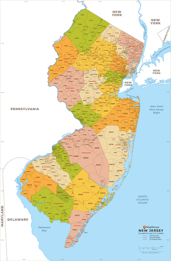
New Jersey ZIP Code Map with Counties - Extra Large
MapSherpa
This map has been created exclusively for MapSherpa, and designed for business or reference use. Clear and clean colors & fonts matched with cartographic research makes this New Jersey Zip Code Map with Counties easily readable and useful. The map shows the 21 counties of New Jersey and the borders of the 759 zip codes across the Garden State.
Page Size: 60 x 91.5 in (1524 x 2321 mm)
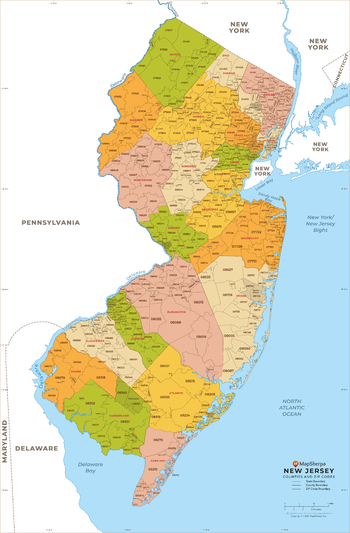
New Jersey ZIP Code Map with Counties - Large
MapSherpa
This map has been created exclusively for MapSherpa, and designed for business or reference use. Clear and clean colors & fonts matched with cartographic research makes this New Jersey Zip Code Map with Counties easily readable and useful. The map shows the 21 counties of New Jersey and the borders of the 759 zip codes across the Garden State.
Page Size: 48 x 73.25 in (1219 x 1857 mm)
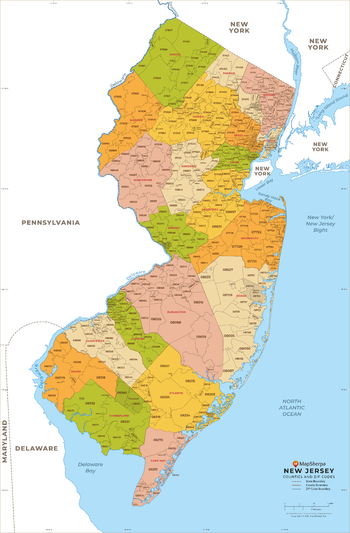
New Jersey ZIP Code Map with Counties - Standard
MapSherpa
This map has been created exclusively for MapSherpa, and designed for business or reference use. Clear and clean colors & fonts matched with cartographic research makes this New Jersey Zip Code Map with Counties easily readable and useful. The map shows the 21 counties of New Jersey and the borders of the 759 zip codes across the Garden State.
Page Size: 36 x 55 in (914 x 1392 mm)
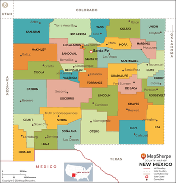
New Mexico Counties Map - Extra Large
MapSherpa
This map has been created exclusively for MapSherpa, and designed for reference or business use. Clear and clean colors & fonts matched with cartographic research makes this map of the 33 New Mexico counties easily readable and useful.
Page Size: 60 x 62.5 in (1524 x 1586 mm)
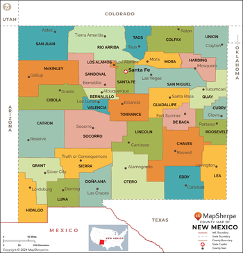
New Mexico Counties Map - Large
MapSherpa
This map has been created exclusively for MapSherpa, and designed for reference or business use. Clear and clean colors & fonts matched with cartographic research makes this map of the 33 New Mexico counties easily readable and useful.
Page Size: 48 x 50 in (1219 x 1269 mm)
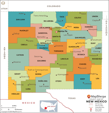
New Mexico Counties Map - Standard
MapSherpa
This map has been created exclusively for MapSherpa, and designed for reference or business use. Clear and clean colors & fonts matched with cartographic research makes this map of the 33 New Mexico counties easily readable and useful.
Page Size: 36 x 37.5 in (914 x 952 mm)
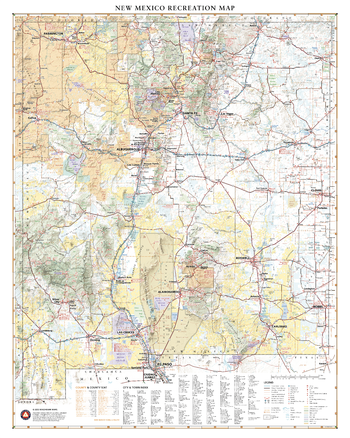
New Mexico Recreation Wall Map
Benchmark Maps
New Mexico’s unique desert-to-mountain landscapes and rich cultural heritage earn its nickname the Land of Enchantment. This wall map illustrates the terrain features, public lands, and roadways that connect the desert southwest with the southern reaches of the Rocky Mountains.
Page Size: 28 x 35 in (711 x 889 mm)
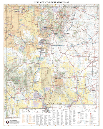
New Mexico Recreation Wall Map – 26 inch
Benchmark Maps
New Mexico’s unique desert-to-mountain landscapes and rich cultural heritage earn its nickname the Land of Enchantment. This wall map illustrates the terrain features, public lands, and roadways that connect the desert southwest with the southern reaches of the Rocky Mountains.
Page Size: 26 x 32.5 in (660 x 826 mm)
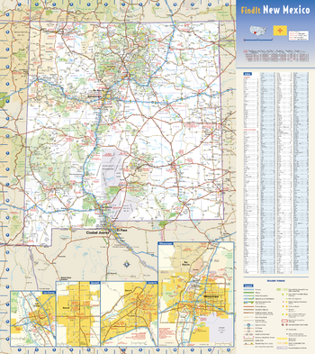
New Mexico State Wall Map
Globe Turner
This colorful, easy-to-read state map of New Mexico identifies all major thoroughfares, secondary roads, freeway interchanges, rest areas, distance markers, landmarks, recreational areas, and more. Shaded relief on the state map provides a three-dimensional sense of New Mexico’s topography. Detailed city inset maps of Albuquerque, Las Cruces, Roswell, and Santa Fe are based on the latest street information from our cartographic experts. County and city indices make it simple to locate even the smallest town. City type sizes reflect the 2020 U.S. Census.
Page Size: 18.5 x 20.75 in (467 x 524 mm)
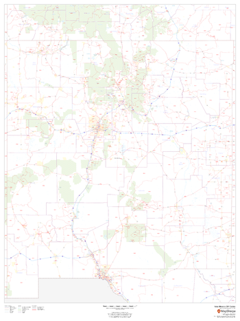
New Mexico ZIP Code Map
MapSherpa
This map of New Mexico shows ZIP codes overlaid on a road map. Base map features include county boundaries, major road network features, and state and national parks and conservation areas.
Page Size: 36 x 48 in (914 x 1219 mm)
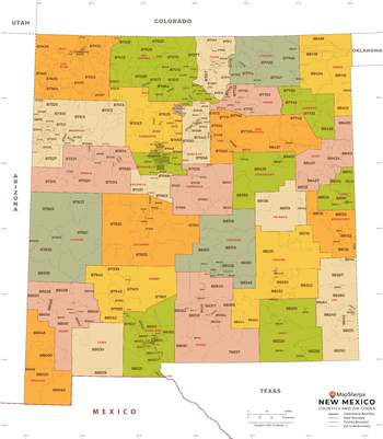
New Mexico ZIP Code Map with Counties - Extra Large
MapSherpa
This map has been created exclusively for MapSherpa, and designed for business or reference use. Clear and clean colors & fonts matched with cartographic research makes this map of New Mexico's counties and ZIP codes easily readable and useful.
Page Size: 60 x 68.75 in (1524 x 1744 mm)
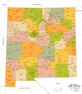
New Mexico ZIP Code Map with Counties - Large
MapSherpa
This map has been created exclusively for MapSherpa, and designed for business or reference use. Clear and clean colors & fonts matched with cartographic research makes this map of New Mexico's counties and ZIP codes easily readable and useful.
Page Size: 48 x 55 in (1219 x 1395 mm)
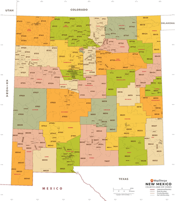
New Mexico ZIP Code Map with Counties - Standard
MapSherpa
This map has been created exclusively for MapSherpa, and designed for business or reference use. Clear and clean colors & fonts matched with cartographic research makes this map of New Mexico's counties and ZIP codes easily readable and useful.
Page Size: 36 x 41.25 in (914 x 1046 mm)
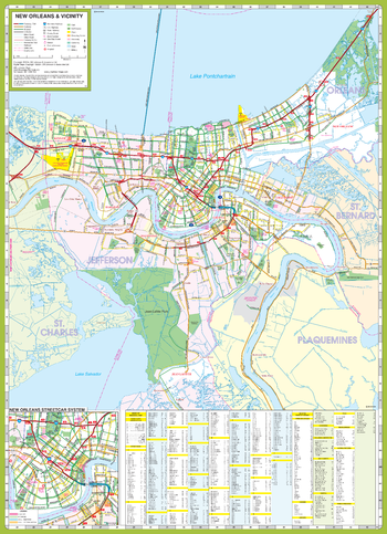
New Orleans and Vicinity Map
GM Johnson
New Orleans & Vicinity, Louisiana Regional Map. Including:
Laplace, Kenner, Harahan, Westwego, Gretna & Adjoining Communities and Parishes. Enlargement of New Orleans Street Car System. Includes Index of Major Roads, Communities & Selected Points of Interest.
Page Size: 19.75 x 27.25 in (501 x 692 mm)
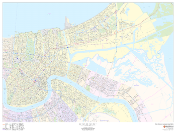
New Orleans, Louisiana Inner Metro - Landscape
MapSherpa
This landscape-oriented map of central New Orleans, Louisiana shows detailed street level information including extensive street labeling. Ideal for planning of deliveries, home services, sales territories, real estate and much more. Base map features include all roads with major roads and highways labelled; neighborhood names; railways; high level land use such as parks and recreation areas, industrial areas and hospital campuses; and a variety of points of interest including schools, libraries, stadiums, museums, border crossings and more.
Page Size: 48 x 36 in (1219 x 914 mm)
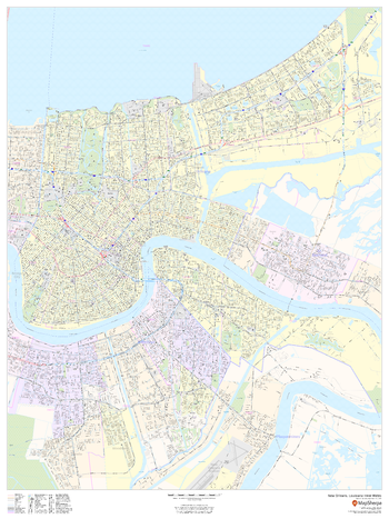
New Orleans, Louisiana Inner Metro - Portrait
MapSherpa
This portrait-oriented map of central New Orleans, Louisiana shows detailed street level information including extensive street labeling. Ideal for planning of deliveries, home services, sales territories, real estate and much more. Base map features include all roads with major roads and highways labelled; neighborhood names; railways; high level land use such as parks and recreation areas, industrial areas and hospital campuses; and a variety of points of interest including schools, libraries, stadiums, museums, border crossings and more.
Page Size: 36 x 48 in (914 x 1219 mm)
No search results