


MapSherpa Catalog
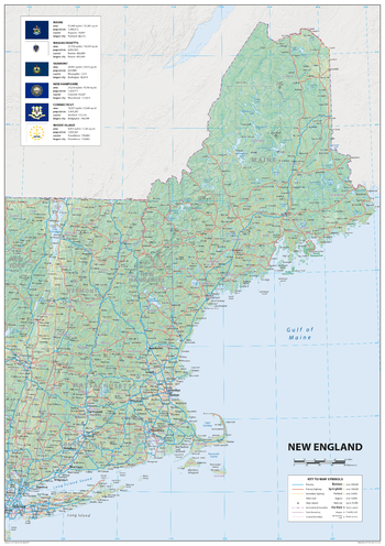
New England
Sparrow Maps
A detailed physical map of Maine, Massachusetts, Vermont, New Hampshire, Connecticut and Rhode Island, USA, with land cover and relief features and including National Parks showing administrative divisions, state capitals, county seats and other settlements, roads and airports. The state flag, area and population are included for each state. One of a series of attractive maps of US states giving a comprehensive overview.
Page Size: 23.5 x 33.25 in (594 x 841 mm)
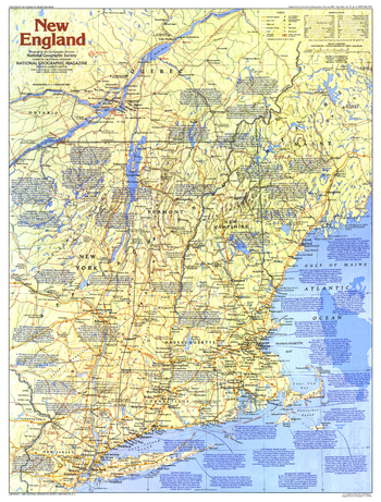
New England Map Side 1 - Published 1987
National Geographic
This map of New England provides a wealth of information about this historically rich region of the United States. Early Puritan settlements, battlefields of the American Revolution, and the Appalachian Trail are just some of the sites to be found here. Published in February 1987 as part of the "Making of America" series, and as a companion to the article "A Tunnel Through Time: The Appalachian Trail."
Page Size: 20.5 x 27 in (521 x 686 mm)
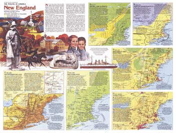
New England Map Side 2 - Published 1987
National Geographic
From the early days of the fur trade and Puritan settlements to the hub of technology and education that it is today, New England has a rich past and a exciting future. Explore the history of settlement, revolution, immigration, and industry in New England with this educational map. Published in February 1987, this work is half of a two-map set in the "Making of America" series.
Page Size: 27.25 x 20.5 in (687 x 519 mm)
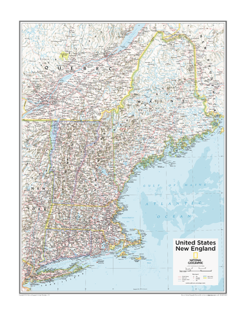
New England U.S. - Atlas of the World, 10th Edition
National Geographic
Connecticut, Long Island (N.Y.), Maine, Massachusetts, New Hampshire, Rhode Island, Vermont
Page Size: 22 x 28 in (559 x 711 mm)
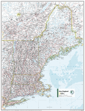
New England U.S. - Atlas of the World, 11th Edition
National Geographic
This New England regional map of physical and political features can fit in any space. Showcasing the region in stunning detail with state-of-the-art cartographic techniques delivering accuracy and exceptional quality, the innovative and engaging design makes the content easily accessible and user-friendly.
Ideal for classrooms with an emphasis on teaching geography or environmental themes. The inclusion of physical features gives your students a genuine feel for how our world appears.
This map uses a bright, easy to read color palette featuring blue oceans and stunning shaded relief that has been featured on National Geographic wall maps for over 75 years. It is drawn in the Albers Conic Equal-Area projection, which uses two standard parallels between which distortion is minimized, however scale and shape are not preserved.
This map is found in National Geographic's 11th Edition World Atlas and is now available as a stand alone product.
Page Size: 24 x 31.5 in (610 x 798 mm)
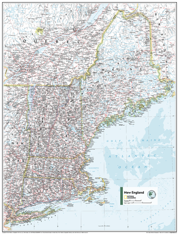
New England U.S. - Atlas of the World, 11th Edition - Compact
National Geographic
This New England regional map of physical and political features can fit in any space. Showcasing the region in stunning detail with state-of-the-art cartographic techniques delivering accuracy and exceptional quality, the innovative and engaging design makes the content easily accessible and user-friendly.
Ideal for classrooms with an emphasis on teaching geography or environmental themes. The inclusion of physical features gives your students a genuine feel for how our world appears.
This map uses a bright, easy to read color palette featuring blue oceans and stunning shaded relief that has been featured on National Geographic wall maps for over 75 years. It is drawn in the Albers Conic Equal-Area projection, which uses two standard parallels between which distortion is minimized, however scale and shape are not preserved.
This map is found in National Geographic's 11th Edition World Atlas and is now available as a stand alone product.
Page Size: 16.25 x 21.5 in (413 x 540 mm)
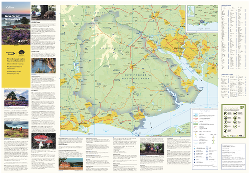
New Forest National Park Map
Collins
With clear mapping and a high level of detail, explore the New Forest National Park easily with maps from Collins. This map identifies key park, tourist, and travel information, presented alongside a selection of photographs, making it an ideal companion for those exploring this beautiful area of Southern England.
Page Size: 32 x 22.25 in (810 x 560 mm)
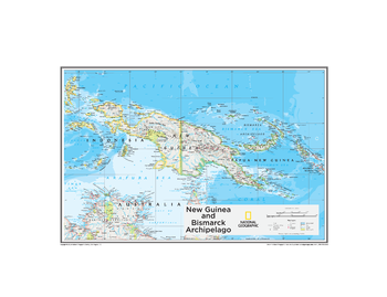
New Guinea and Bismarck Archipelago - Atlas of the World, 10th Edition
National Geographic
Papua New Guinea
Page Size: 26 x 20 in (660 x 508 mm)
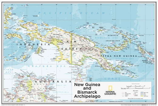
New Guinea and Bismarck Archipelago - Atlas of the World, 10th Edition - Compact
National Geographic
Papua New Guinea
Page Size: 24 x 16 in (605 x 406 mm)
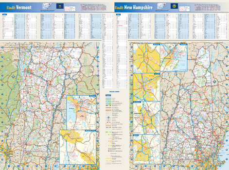
New Hampshire & Vermont State Wall Map
Globe Turner
These colorful, easy-to-read state maps of New Hampshire and Vermont identify all major thoroughfares, secondary roads, freeway interchanges, rest areas, distance markers, landmarks, recreational areas, and more. Shaded relief on the state maps provides a three-dimensional sense of the topography. Detailed city inset maps of Concord, Manchester, Nashua, Portsmouth, Rochester, Burlington, and Montpelier are based on the latest street information from our cartographic experts. County and city indices for both states make it simple to locate even the smallest town.
Page Size: 24.75 x 18.5 in (629 x 467 mm)
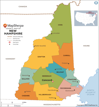
New Hampshire Counties Map - Extra Large
MapSherpa
This map has been created exclusively for MapSherpa, and designed for reference or business use. Clear and clean colors & fonts matched with cartographic research makes this map of the 10 New Hampshire counties easily readable and useful.
Page Size: 60 x 64.75 in (1524 x 1642 mm)
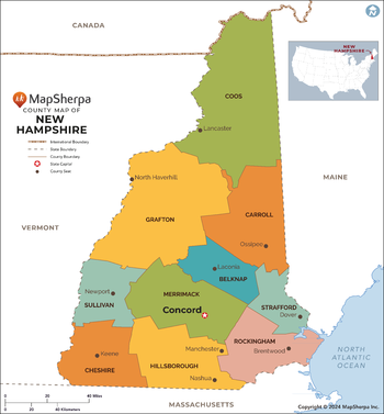
New Hampshire Counties Map - Large
MapSherpa
This map has been created exclusively for MapSherpa, and designed for reference or business use. Clear and clean colors & fonts matched with cartographic research makes this map of the 10 New Hampshire counties easily readable and useful.
Page Size: 48 x 51.75 in (1219 x 1314 mm)
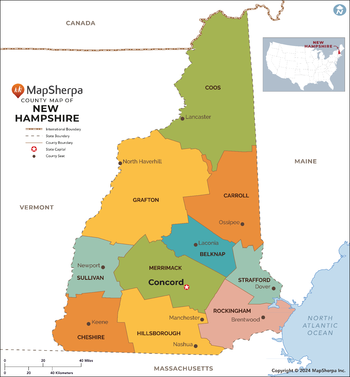
New Hampshire Counties Map - Standard
MapSherpa
This map has been created exclusively for MapSherpa, and designed for reference or business use. Clear and clean colors & fonts matched with cartographic research makes this map of the 10 New Hampshire counties easily readable and useful.
Page Size: 36 x 39 in (914 x 985 mm)
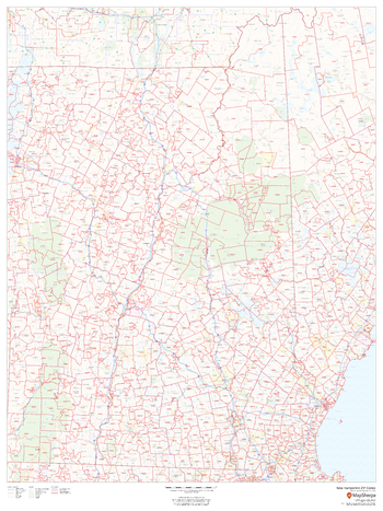
New Hampshire ZIP Code Map
MapSherpa
This map of New Hampshire shows ZIP code areas overlaid on a road map. Ideal for planning of deliveries, home services, sales territories, real estate and much more. Base map features include all roads with major roads and highways labelled, municipality and county boundaries, neighborhood names, railways, and high level land use such as parks and recreation areas
Page Size: 36 x 48 in (914 x 1219 mm)
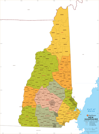
New Hampshire ZIP Code Map with Counties - Extra Large
MapSherpa
This map has been created exclusively for MapSherpa, and designed for business or reference use. Clear and clean colors & fonts matched with cartographic research makes this map of New Hampshire's counties and ZIP codes easily readable and useful.
Page Size: 60 x 81 in (1524 x 2053 mm)
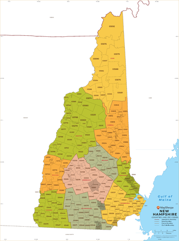
New Hampshire ZIP Code Map with Counties - Large
MapSherpa
This map has been created exclusively for MapSherpa, and designed for business or reference use. Clear and clean colors & fonts matched with cartographic research makes this map of New Hampshire's counties and ZIP codes easily readable and useful.
Page Size: 48 x 64.75 in (1219 x 1642 mm)
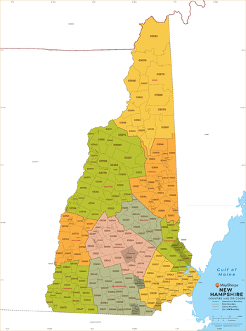
New Hampshire ZIP Code Map with Counties - Standard
MapSherpa
This map has been created exclusively for MapSherpa, and designed for business or reference use. Clear and clean colors & fonts matched with cartographic research makes this map of New Hampshire's counties and ZIP codes easily readable and useful.
Page Size: 36 x 48.5 in (914 x 1232 mm)
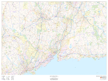
New Haven County, Connecticut
MapSherpa
This map of New Haven County, Connecticut shows regional level information. Base map features include highways and major roads with labelling; neighborhood names; railways; high level land use such as parks and recreation areas, industrial areas and hospital campuses; and a selection of points of interest including transportation hubs like airports and train stations, tourist information, police stations and shopping centres. ZIP code boundaries are shown as a secondary map feature.
Page Size: 48 x 36 in (1219 x 914 mm)
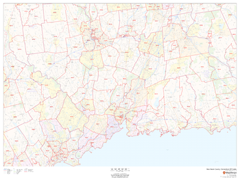
New Haven County, Connecticut ZIP Codes
MapSherpa
This map of New Haven County, Connecticut shows ZIP code areas overlaid on a road map. Ideal for planning of deliveries, home ervices, sales territories, real estate and much more. Base map features include all roads with major roads and highways labelled; neighborhood names; railways; and high level land use such as parks and recreation areas, industrial areas and hospital campuses.
Page Size: 48 x 36 in (1219 x 914 mm)
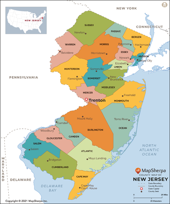
New Jersey Counties Map - Extra Large
MapSherpa
This map has been created exclusively for MapSherpa, and designed for reference or business use. Clear and clean colors & fonts matched with cartographic research makes this map of New Jersey Counties Map easily readable and useful. The map shows the 21 counties of New Jersey and their borders across the Garden State.
Page Size: 60 x 72.25 in (1524 x 1829 mm)
No search results