


MapSherpa Catalog
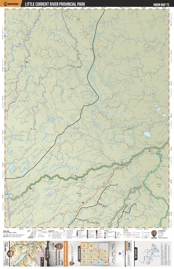
NWON73 Little Current River Provincial Park - Northwestern Ontario Topo
Backroad Mapbooks
This recreation topographic map for Little Current River Provincial Park highlights all the logging/resource roads, hunting areas, fishing lakes & streams, campsites, paddling routes for canoeing and kayaking, wildlife viewing areas, multi-use trails for hiking, biking, horseback riding, cross-country skiing and snowshoeing, motorized trails for ATVing and snowmobiling & more. Covering 3,040 km2 (1,175 mi2), this 1:85,000 scale map measures 48 x 63.5 km (30 x 39.5 mi), providing you with more topographic and recreational detail for the Lac La Croix area than any other map on the market. New features include expanded road and trail data and countless recreational Points of Interest. Included on this map are Little Current River Provincial Park, Percy Lake, Little Squaw River, Squaw River, Little Current River, Ogoki River, Esnagami River and more!
Page Size: 24 x 37 in (610 x 940 mm)
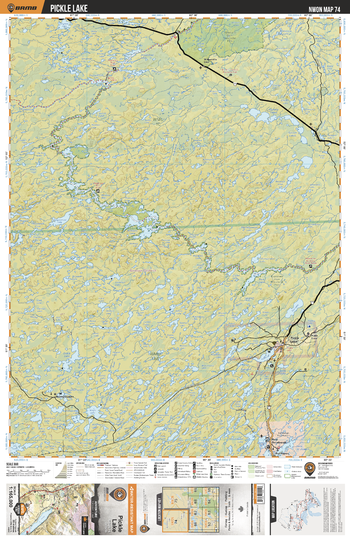
NWON74 Pickle Lake - Northwestern Ontario Topo
Backroad Mapbooks
This recreation topographic map for Pickle Lake highlights all the logging/resource roads, hunting areas, fishing lakes & streams, campsites, paddling routes for canoeing and kayaking, wildlife viewing areas, motorized trails for ATVing and snowmobiling & more. Covering 12,170 km2 (4,700 mi2), this 1:165,000 scale map measures 96 x 127 km (60 x 79 mi), providing you with more topographic and recreational detail for the Pickle Lake area than any other map on the market. New features include expanded road and trail data and countless recreational Points of Interest. Included on this map are Muskegsagagen, New Osnaburgh, Otoskowin River, Pickle Lake, Pipestone River, Rat Rapids and more!
Page Size: 24 x 37 in (610 x 940 mm)
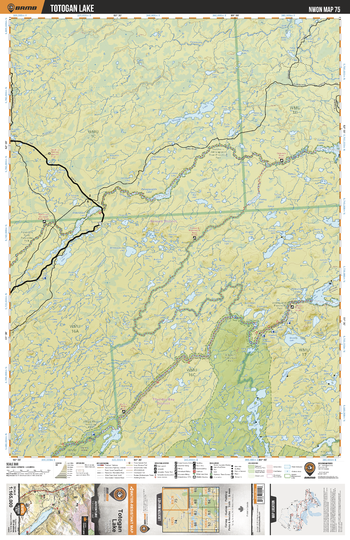
NWON75 Totogan Lake - Northwestern Ontario Topo
Backroad Mapbooks
This recreation topographic map for Totogan Lake highlights all the logging/resource roads, hunting areas, fishing lakes & streams, campsites, paddling routes for canoeing and kayaking, wildlife viewing areas, motorized trails for ATVing and snowmobiling & more. Covering 12,170 km2 (4,700 mi2), this 1:165,000 scale map measures 96 x 127 km (60 x 79 mi), providing you with more topographic and recreational detail for the Pickle Lake area than any other map on the market. New features include expanded road and trail data and countless recreational Points of Interest. Included on this map are Totogan Lake, Pipestone River Provincial Park, Otoskwin River, Otoskwin-Attawapiskat River Provincial Park, Trading River, Wabakimi Provincial Park and more!
Page Size: 24 x 37 in (610 x 940 mm)
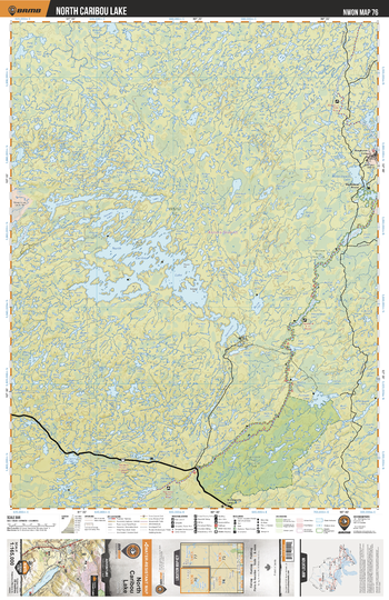
NWON76 North Caribou Lake - Northwestern Ontario Topo
Backroad Mapbooks
This recreation topographic map for North Caribou Lake highlights all the logging/resource roads, hunting areas, fishing lakes & streams, campsites, paddling routes for canoeing and kayaking, wildlife viewing areas, motorized trails for ATVing and snowmobiling & more. Covering 12,170 km2 (4,700 mi2), this 1:165,000 scale map measures 96 x 127 km (60 x 79 mi), providing you with more topographic and recreational detail for the Pickle Lake area than any other map on the market. New features include expanded road and trail data and countless recreational Points of Interest. Included on this map are North Caribou Lake, Pipestone River Provincial Park, Pipestone River, Forester Lake, Horseshoe Lake, Lemont Lake, Karl Lake, Misamikwash Lake and more!
Page Size: 24 x 37 in (610 x 940 mm)
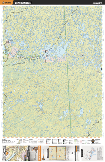
NWON77 Wunnummin Lake - Northwestern Ontario Topo
Backroad Mapbooks
This recreation topographic map for Wunnummin Lake highlights all the logging/resource roads, hunting areas, fishing lakes & streams, campsites, paddling routes for canoeing and kayaking, wildlife viewing areas, motorized trails for ATVing and snowmobiling & more. Covering 12,170 km2 (4,700 mi2), this 1:165,000 scale map measures 96 x 127 km (60 x 79 mi), providing you with more topographic and recreational detail for the Pickle Lake area than any other map on the market. New features include expanded road and trail data and countless recreational Points of Interest. Included on this map are Wunnummin Lake, Pipestone River Provincial Park, Pipestone River, Winisk River, Wigwascence Lake, Pineimuta River, Peeawagon Lake and more!
Page Size: 24 x 37 in (610 x 940 mm)
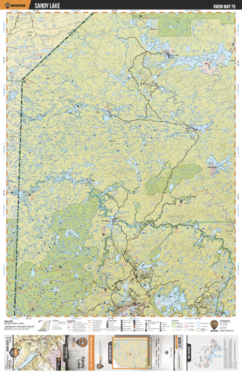
NWON78 Sandy Lake - Northwestern Ontario Topo
Backroad Mapbooks
This recreation topographic map for Sandy Lake highlights all the logging/resource roads, hunting areas, fishing lakes & streams, campsites, paddling routes for canoeing and kayaking, wildlife viewing areas, multi-use trails for hiking, biking, horseback riding, cross-country skiing and snowshoeing, motorized trails for ATVing and snowmobiling & more. Covering 48,670 km2 (18,790 mi2), this 1:330,000 scale map measures 191 x 254 km (119 x 158 mi), providing you with more topographic and recreational detail for the Sandy Lake area than any other map on the market. New features include expanded road and trail data and countless recreational Points of Interest. Included on this map are Berens River, Deer Lake, North Spirit Lake, MacDowell Lake, Opaquia Provincial Park, Poplar Hill, Throat River, Trout Lake and Woodland Caribou Provincial Park, plus parts of Manitoba including Atikaki Provincial Park.
Page Size: 24 x 37 in (610 x 940 mm)
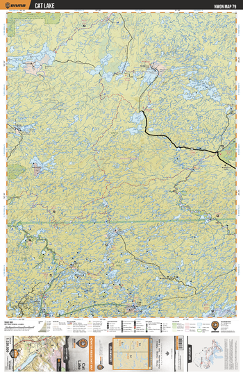
NWON79 Cat Lake - Northwestern Ontario Topo
Backroad Mapbooks
This recreation topographic map for Cat Lake highlights all the logging/resource roads, hunting areas, fishing lakes & streams, campsites, paddling routes for canoeing and kayaking, wildlife viewing areas, multi-use trails for hiking, biking, horseback riding, cross-country skiing and snowshoeing, motorized trails for ATVing and snowmobiling & more. Covering 48,670 km2 (18,790 mi2), this 1:330,000 scale map measures 191 x 254 km (119 x 158 mi), providing you with more topographic and recreational detail for the Sandy Lake area than any other map on the market. New features include expanded road and trail data and countless recreational Points of Interest. Included on this map are Cat Lake, Sandy Lake, Pipestone River, Berens River, Pipestone River Provincial Park, Lake St Joseph, Windigo Lake, North Caribou Lake and more.
Page Size: 24 x 37 in (610 x 940 mm)
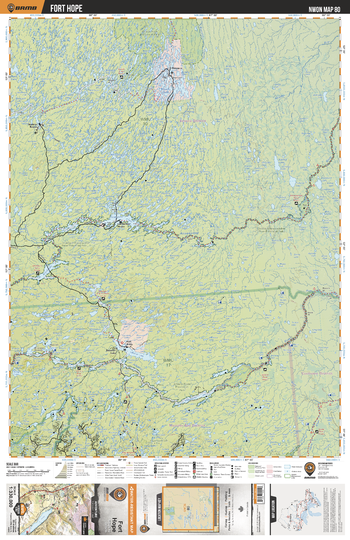
NWON80 Fort Hope - Northwestern Ontario Topo
Backroad Mapbooks
This recreation topographic map for Fort Hope highlights all the logging/resource roads, hunting areas, fishing lakes & streams, campsites, paddling routes for canoeing and kayaking, wildlife viewing areas, multi-use trails for hiking, biking, horseback riding, cross-country skiing and snowshoeing, motorized trails for ATVing and snowmobiling & more. Covering 48,670 km2 (18,790 mi2), this 1:330,000 scale map measures 191 x 254 km (119 x 158 mi), providing you with more topographic and recreational detail for the Sandy Lake area than any other map on the market. New features include expanded road and trail data and countless recreational Points of Interest. Included on this map are Fort Hope, Winisk River Provincial Park, Attawapiskat River, Otoskwin-Attawapiskat River Provincial Park, Albany River, Ogoki River and more.
Page Size: 24 x 37 in (610 x 940 mm)
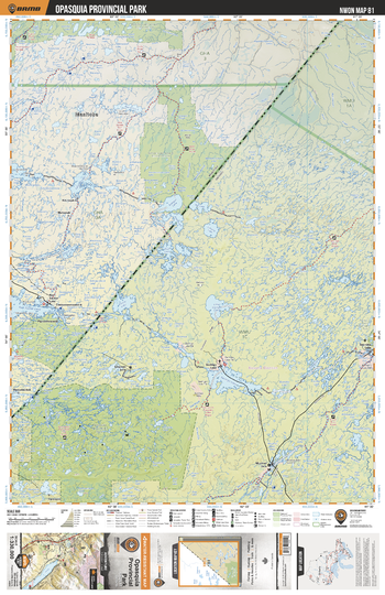
NWON81 Opasquia Provincial Park - Northwestern Ontario Topo
Backroad Mapbooks
This recreation topographic map for Opasquia Provincial Park highlights all the logging/resource roads, hunting areas, fishing lakes & streams, campsites, paddling routes for canoeing and kayaking, wildlife viewing areas, multi-use trails for hiking, biking, horseback riding, cross-country skiing and snowshoeing, motorized trails for ATVing and snowmobiling & more. Covering 48,670 km2 (18,790 mi2), this 1:330,000 scale map measures 191 x 254 km (119 x 158 mi), providing you with more topographic and recreational detail for the Sandy Lake area than any other map on the market. New features include expanded road and trail data and countless recreational Points of Interest. Included on this map are Opasquia Provincial Park, Sachigo Lake, Severn River, Muskrat Dam Lake, Sachigo River, Bearskin Lake, Lingman Lake, Stull Lake, Ney Lake and more.
Page Size: 24 x 37 in (610 x 940 mm)
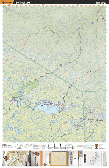
NWON82 Big Trout Lake - Northwestern Ontario Topo
Backroad Mapbooks
This recreation topographic map for Big Trout Lake highlights all the logging/resource roads, hunting areas, fishing lakes & streams, campsites, paddling routes for canoeing and kayaking, wildlife viewing areas, multi-use trails for hiking, biking, horseback riding, cross-country skiing and snowshoeing, motorized trails for ATVing and snowmobiling & more. Covering 48,670 km2 (18,790 mi2), this 1:330,000 scale map measures 191 x 254 km (119 x 158 mi), providing you with more topographic and recreational detail for the Sandy Lake area than any other map on the market. New features include expanded road and trail data and countless recreational Points of Interest. Included on this map are Big Trout Lake, Severn River Provincial Park, Secern River, Fawn River, Sachigo River, Long Dog Lake, Angling Lake, Ghost Lake, Severn Lake and more.
Page Size: 24 x 37 in (610 x 940 mm)
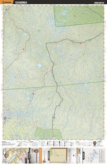
NWON83 Kasabonika - Northwestern Ontario Topo
Backroad Mapbooks
This recreation topographic map for Kasabonika highlights all the logging/resource roads, hunting areas, fishing lakes & streams, campsites, paddling routes for canoeing and kayaking, wildlife viewing areas, multi-use trails for hiking, biking, horseback riding, cross-country skiing and snowshoeing, motorized trails for ATVing and snowmobiling & more. Covering 48,670 km2 (18,790 mi2), this 1:330,000 scale map measures 191 x 254 km (119 x 158 mi), providing you with more topographic and recreational detail for the Sandy Lake area than any other map on the market. New features include expanded road and trail data and countless recreational Points of Interest. Included on this map are Kasabonika, Polar Bear Provincial Park, Winisk River Provincial Park, Severn River, Asheweig River, Kasabonika Lake, Moshikopaw Lake and more.
Page Size: 24 x 37 in (610 x 940 mm)
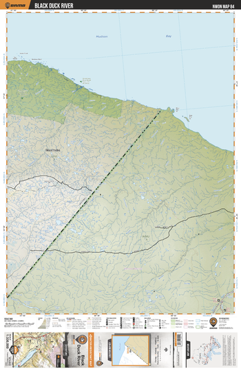
NWON84 Black Duck River - Northwestern Ontario Topo
Backroad Mapbooks
This recreation topographic map for Black Duck River highlights all the logging/resource roads, hunting areas, fishing lakes & streams, campsites, paddling routes for canoeing and kayaking, wildlife viewing areas, multi-use trails for hiking, biking, horseback riding, cross-country skiing and snowshoeing, motorized trails for ATVing and snowmobiling & more. Covering 48,670 km2 (18,790 mi2), this 1:330,000 scale map measures 191 x 254 km (119 x 158 mi), providing you with more topographic and recreational detail for the Sandy Lake area than any other map on the market. New features include expanded road and trail data and countless recreational Points of Interest. Included on this map are Black Duck River, Niskibi River, Beaver River, Severn River, Dickey River, Black Current River, Sturgeon Lake, Sturgeon River, Fawn River and more.
Page Size: 24 x 37 in (610 x 940 mm)
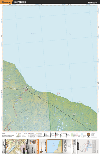
NWON85 Fort Severn - Northwestern Ontario Topo
Backroad Mapbooks
This recreation topographic map for Fort Severn highlights all the logging/resource roads, hunting areas, fishing lakes & streams, campsites, paddling routes for canoeing and kayaking, wildlife viewing areas, multi-use trails for hiking, biking, horseback riding, cross-country skiing and snowshoeing, motorized trails for ATVing and snowmobiling & more. Covering 48,670 km2 (18,790 mi2), this 1:330,000 scale map measures 191 x 254 km (119 x 158 mi), providing you with more topographic and recreational detail for the Sandy Lake area than any other map on the market. New features include expanded road and trail data and countless recreational Points of Interest. Included on this map are Fort Severn, Hudson Bay, Sevenr River, Fawn River, Polar Bear Provincial Park, Wood Creek Natural Reserve, Shagamu River, Beaver River and more.
Page Size: 24 x 37 in (610 x 940 mm)

Nagawicka Lake
Mapping Specialists
An Attractive map of the lake showing a visual 3D representation of the lake bottom. Includes boat launches, rock area and vegetation. Land area is high resolution aerial imagery.
Page Size: 27.75 x 37.25 in (705 x 943 mm)

Nahanni National Park Reserve East
GoTrekkers
Nahanni National Park Reserve East
Page Size: 41.5 x 28 in (1054 x 711 mm)

Nahanni National Park Reserve West
GoTrekkers
Nahanni National Park Reserve West
Page Size: 41.5 x 28 in (1054 x 711 mm)
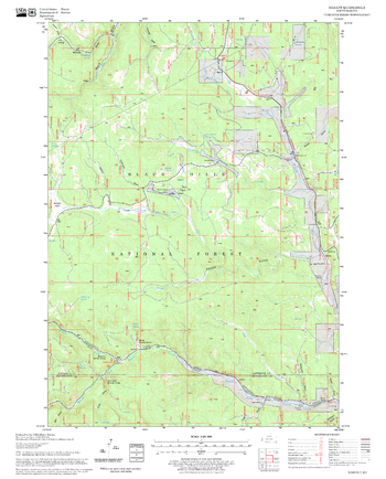
Nahant Quadrangle, South Dakota
United States Forest Service
United States Department of Agriculture Forestry Service topographical map of Nahant, Black Hills National Forest, South Dakota.
Page Size: 21.75 x 27 in (552 x 686 mm)

Namakagon Lake
Mapping Specialists
An Attractive map of the lake showing a visual 3D representation of the lake bottom. Includes boat launches, rock area and vegetation. Land area is high resolution aerial imagery.
Page Size: 37.25 x 27.75 in (943 x 705 mm)
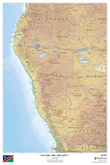
Namibia
MapSherpa
This beautiful map shows physical and political features for Namibia and surrounding areas. Relief shading and the use of different colours by height above sea level are both informative and attractive.
Page Size: 24 x 36 in (610 x 914 mm)
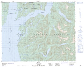
Namu - 92 M/13 - British Columbia
Natural Resources Canada
Canadian topographic map of Namu, British Columbia. NTS sheet 092M13 Edition 2.
Page Size: 31 x 25 in (787 x 631 mm)
No search results