


MapSherpa Catalog
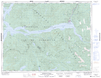
Muchalat Inlet - 92 E/9 - British Columbia
Natural Resources Canada
Canadian topographic map of Muchalat Inlet, British Columbia. NTS sheet 092E09 Edition 4.
Page Size: 33 x 25.5 in (837 x 643 mm)
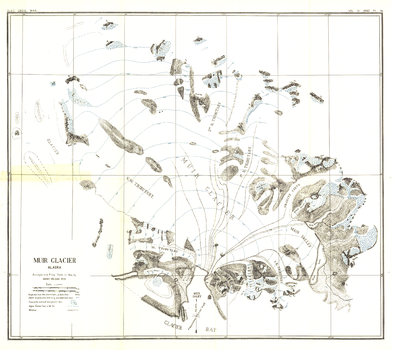
Muir Glacier, Alaska - Published 1892
National Geographic
Named after the naturalist, John Muir, Muir Glacier is a tidewater glacier located in Glacier Bay National Park and Preserve in southeastern Alaska. This antique map of Muir Glacier was surveyed with Plane Table in 1890 by Harry Fielding Reid. Published in March 1892, this unique work makes a fine companion to the Alaska map of 1891.
Page Size: 19 x 17 in (482 x 429 mm)
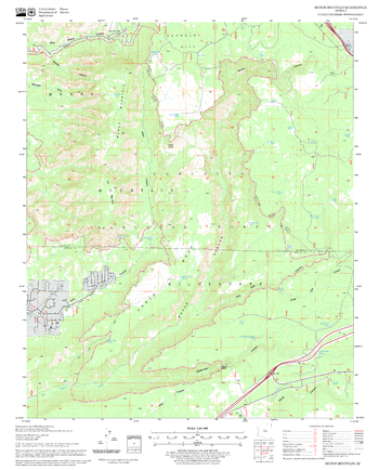
Munds Mountain Quadrangle, Arizona
United States Forest Service
United States Department of Agriculture Forestry Service topographical map of Munds Mountain, Coconino National Forest, Arizona.
Page Size: 21.75 x 27 in (552 x 686 mm)
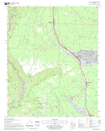
Munds Park Quadrangle, Arizona
United States Forest Service
United States Department of Agriculture Forestry Service topographical map of Munds Park, Coconino National Forest, Arizona.
Page Size: 21.75 x 27 in (552 x 686 mm)
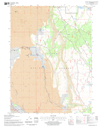
Murken Bench Quadrangle, California
United States Forest Service
United States Department of Agriculture Forestry Service topographical map of Murken Bench, Lassen National Forest, California.
Page Size: 21.75 x 27 in (552 x 686 mm)
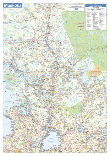
Muskoka Wall Map - Road Map
Lucidmap
This wall map has been designed to show the Muskoka area of Ontario including all highways, cities and towns, major parks, political boundaries, and points of interest.
The map has been designed with a traditional Canadian style embraced by map buyers over many years.
Page Size: 28 x 40 in (711 x 1016 mm)
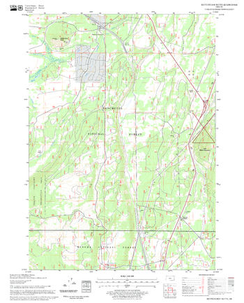
Muttonchop Butte Quadrangle, Oregon
United States Forest Service
United States Department of Agriculture Forestry Service topographical map of Muttonchop Butte, Deschutes National Forest, Oregon.
Page Size: 21.75 x 27 in (552 x 686 mm)
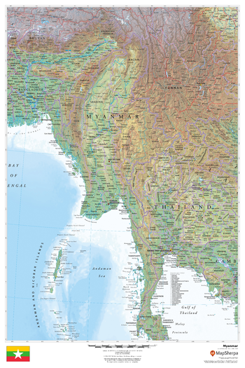
Myanmar
MapSherpa
This beautiful map shows physical and political features for the Myanmar and surrounding areas. Relief shading and the use of different colours by height above sea level are both informative and attractive.
Page Size: 24 x 36 in (610 x 914 mm)

Mythical Monster Premium Wall Map - Large
Twisted Spirit Limited
The Mythical Monster Map was created by Peter Dobbin, a renowned UK artist. The stunning monster images portrayed on a map of the world bring life to myths and legends that have emerged around the planet.
The map shows 61 creatures and includes their country of origin and a description of their characteristics.
Page Size: 47 x 33.25 in (1189 x 841 mm)

Mythical Monster Premium Wall Map - Medium
Twisted Spirit Limited
The Mythical Monster Map was created by Peter Dobbin, a renowned UK artist. The stunning monster images portrayed on a map of the world bring life to myths and legends that have emerged around the planet.
The map shows 61 creatures and includes their country of origin and a description of their characteristics.
Page Size: 33.25 x 23.5 in (841 x 595 mm)

Mythical Monster Premium Wall Map - Poster
Twisted Spirit Limited
The Mythical Monster Map was created by Peter Dobbin, a renowned UK artist. The stunning monster images portrayed on a map of the world bring life to myths and legends that have emerged around the planet.
The map shows 61 creatures and includes their country of origin.
Page Size: 23.5 x 16.75 in (594 x 420 mm)
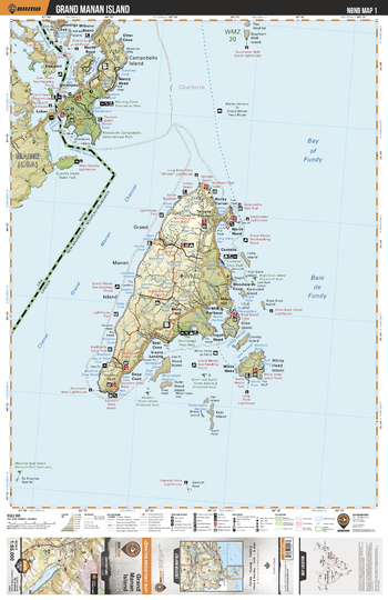
NBNB01 Grand Manan Island - New Brunswick Topo
Backroad Mapbooks
This recreation topographic map for Grand Manan Island highlights all the logging/resource roads, hunting areas, fishing lakes & streams, campsites, paddling routes for canoeing and kayaking, wildlife viewing areas, multi-use trails for hiking, biking, horseback riding, cross-country skiing and snowshoeing, motorized trails for ATVing and snowmobiling & more. Covering 1,950 km2 (750 mi2), this 1:65,000 scale map measures 38 x 51 km (23.5 x 32 mi), providing you with more topographic and recreational detail for the Grand Manan Island area than any other map on the market. New features include enhanced Crown land data and countless updates to roads, trails and recreational Points of Interest. This map includes the Bay of Fundy, Campobello Island, Deep Cove, Grand Harbour, Grand Manan Channel, Grand Manan Island, North Head, Rocky Corner, Roosevelt Campobello International Park, Ross Island, Seal Cove, The Anchorage Provincial Park, White Head Island, Wood Island and part of the state of Maine, including Quoddy Head State Park.
Page Size: 24 x 37 in (610 x 940 mm)
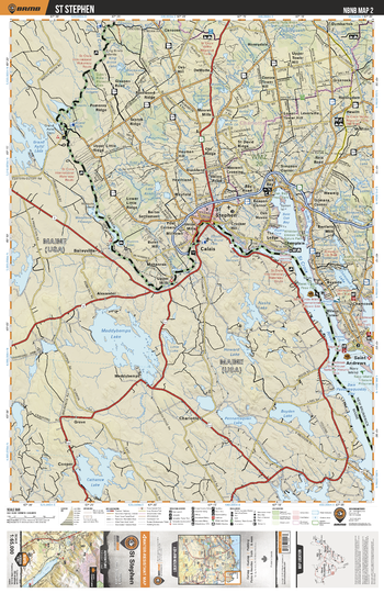
NBNB02 St Stephen - New Brunswick Topo
Backroad Mapbooks
This recreation topographic map for St Stephen highlights all the logging/resource roads, hunting areas, fishing lakes & streams, campsites, paddling routes for canoeing and kayaking, wildlife viewing areas, multi-use trails for hiking, biking, horseback riding, cross-country skiing and snowshoeing, motorized trails for ATVing and snowmobiling & more. Covering 1,950 km2 (750 mi2), this 1:65,000 scale map measures 38 x 51 km (23.5 x 32 mi), providing you with more topographic and recreational detail for the Grand Manan Island area than any other map on the market. New features include enhanced Crown land data and countless updates to roads, trails and recreational Points of Interest. This map includes St Stephen, St Croix River, Oak Bay, Chamcook, Saint Andrews, Champlain, Hayman Hill, Leverville, Greenock, Pomeroy Ridge and more!
Page Size: 24 x 37 in (610 x 940 mm)
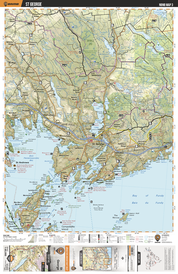
NBNB03 St George - New Brunswick Topo
Backroad Mapbooks
This recreation topographic map for St George highlights all the logging/resource roads, hunting areas, fishing lakes & streams, campsites, paddling routes for canoeing and kayaking, wildlife viewing areas, multi-use trails for hiking, biking, horseback riding, cross-country skiing and snowshoeing, motorized trails for ATVing and snowmobiling & more. Covering 1,950 km2 (750 mi2), this 1:65,000 scale map measures 38 x 51 km (23.5 x 32 mi), providing you with more topographic and recreational detail for the Grand Manan Island area than any other map on the market. New features include enhanced Crown land data and countless updates to roads, trails and recreational Points of Interest. This map includes St George, St Andrews, Fairhaven, Beaver Harbour, The Wolves, Lepreau River Prov Wildlife Area, Victoria Lake, Elmcroft, Digdeguash Lake, Utopia Lake and more!
Page Size: 24 x 37 in (610 x 940 mm)
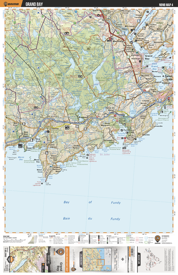
NBNB04 Grand Bay - New Brunswick Topo
Backroad Mapbooks
This recreation topographic map for Grand Bay highlights all the logging/resource roads, hunting areas, fishing lakes & streams, campsites, paddling routes for canoeing and kayaking, wildlife viewing areas, multi-use trails for hiking, biking, horseback riding, cross-country skiing and snowshoeing, motorized trails for ATVing and snowmobiling & more. Covering 1,950 km2 (750 mi2), this 1:65,000 scale map measures 38 x 51 km (23.5 x 32 mi), providing you with more topographic and recreational detail for the Grand Manan Island area than any other map on the market. New features include enhanced Crown land data and countless updates to roads, trails and recreational Points of Interest. This map includes Grand Bay, Saint John, Loch Alva, Musquash, Westfield, Saint John River, Loch Alva Prov Protected Area, Ludgate Lake, New River, Lepreau River Prov Wildlife Area and more!
Page Size: 24 x 37 in (610 x 940 mm)
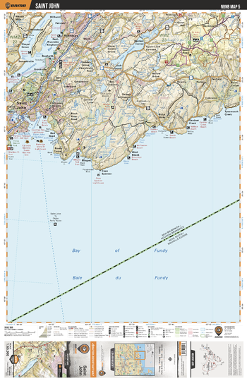
NBNB05 Saint John - New Brunswick Topo
Backroad Mapbooks
This recreation topographic map for Saint John highlights all the logging/resource roads, hunting areas, fishing lakes & streams, campsites, paddling routes for canoeing and kayaking, wildlife viewing areas, multi-use trails for hiking, biking, horseback riding, cross-country skiing and snowshoeing, motorized trails for ATVing and snowmobiling & more. Covering 1,950 km2 (750 mi2), this 1:65,000 scale map measures 38 x 51 km (23.5 x 32 mi), providing you with more topographic and recreational detail for the Grand Manan Island area than any other map on the market. New features include enhanced Crown land data and countless updates to roads, trails and recreational Points of Interest. This map includes Saint John, Rothesay, Hardingville, Loch Lomond, Balls Lake, Saint John Harbour, Kennebecasis Bay, Long Island, Mispec, Black River and more!
Page Size: 24 x 37 in (610 x 940 mm)
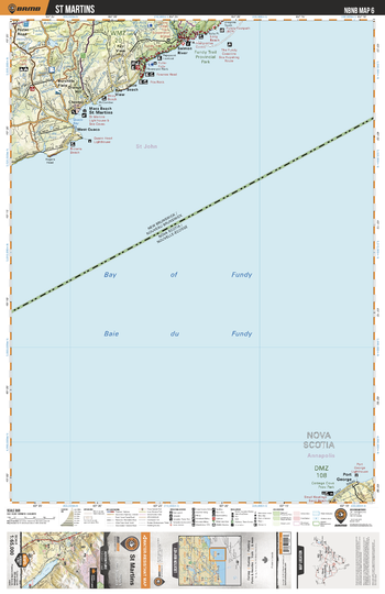
NBNB06 St Martins - New Brunswick Topo
Backroad Mapbooks
This recreation topographic map for St Martins highlights all the logging/resource roads, hunting areas, fishing lakes & streams, campsites, paddling routes for canoeing and kayaking, wildlife viewing areas, multi-use trails for hiking, biking, horseback riding, cross-country skiing and snowshoeing, motorized trails for ATVing and snowmobiling & more. Covering 1,950 km2 (750 mi2), this 1:65,000 scale map measures 38 x 51 km (23.5 x 32 mi), providing you with more topographic and recreational detail for the Grand Manan Island area than any other map on the market. New features include enhanced Crown land data and countless updates to roads, trails and recreational Points of Interest. This map includes St Martins, West Quaco, Macs Beach, Bay View, Little Beach, Salmon River, Fair View, Chester, Orange Hill, Burchills Flats and more!
Page Size: 24 x 37 in (610 x 940 mm)
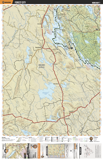
NBNB07 Forest City - New Brunswick Topo
Backroad Mapbooks
This recreation topographic map for Forest City highlights all the logging/resource roads, hunting areas, fishing lakes & streams, campsites, paddling routes for canoeing and kayaking, wildlife viewing areas, multi-use trails for hiking, biking, horseback riding, cross-country skiing and snowshoeing, motorized trails for ATVing and snowmobiling & more. Covering 1,950 km2 (750 mi2), this 1:65,000 scale map measures 38 x 51 km (23.5 x 32 mi), providing you with more topographic and recreational detail for the Grand Manan Island area than any other map on the market. New features include enhanced Crown land data and countless updates to roads, trails and recreational Points of Interest. This map includes Grand Lake, Spednic Lake, Forest City, Chiputneticook Lakes, Spednic Lake Prov Protected Area, Bolton Lake, Second Eel Lake, Musquash Lake, Pemberton Ridge, Fosterville and more!
Page Size: 24 x 37 in (610 x 940 mm)
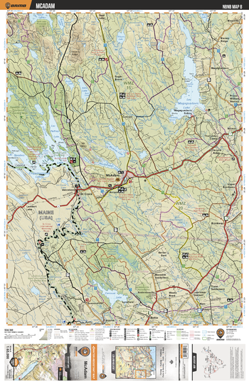
NBNB08 McAdam - New Brunswick Topo
Backroad Mapbooks
This recreation topographic map for McAdam highlights all the logging/resource roads, hunting areas, fishing lakes & streams, campsites, paddling routes for canoeing and kayaking, wildlife viewing areas, multi-use trails for hiking, biking, horseback riding, cross-country skiing and snowshoeing, motorized trails for ATVing and snowmobiling & more. Covering 1,950 km2 (750 mi2), this 1:65,000 scale map measures 38 x 51 km (23.5 x 32 mi), providing you with more topographic and recreational detail for the Grand Manan Island area than any other map on the market. New features include enhanced Crown land data and countless updates to roads, trails and recreational Points of Interest. This map includes McAdam, Spednic Lake, Palfrey Lake, Spednic Lake Prov Protected Area, Magaguadavic Lake, Skiff Lake, Wauklahegan Lake, Modsley Lake, Canoose Lake, Canoose Flowage Prov Protected Area and more!
Page Size: 24 x 37 in (610 x 940 mm)
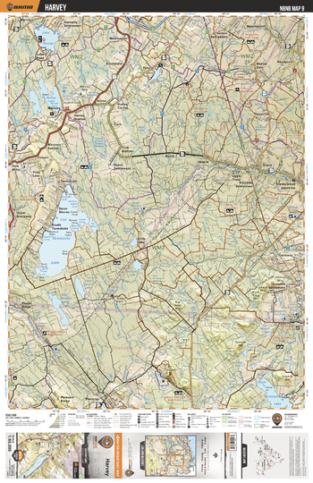
NBNB09 Harvey - New Brunswick Topo
Backroad Mapbooks
This recreation topographic map for Harvey highlights all the logging/resource roads, hunting areas, fishing lakes & streams, campsites, paddling routes for canoeing and kayaking, wildlife viewing areas, multi-use trails for hiking, biking, horseback riding, cross-country skiing and snowshoeing, motorized trails for ATVing and snowmobiling & more. Covering 1,950 km2 (750 mi2), this 1:65,000 scale map measures 38 x 51 km (23.5 x 32 mi), providing you with more topographic and recreational detail for the Grand Manan Island area than any other map on the market. New features include enhanced Crown land data and countless updates to roads, trails and recreational Points of Interest. This map includes Oromocto Lake, Harvey Lake, Lake George, Harvey, Cork Station, Yoho, Fredericton Junction, Germany, Vespra, Little Lake and more!
Page Size: 24 x 37 in (610 x 940 mm)
No search results