


MapSherpa Catalog
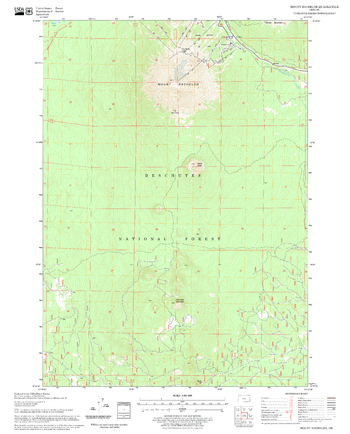
Mount Bachelor Quadrangle, Oregon
United States Forest Service
United States Department of Agriculture Forestry Service topographical map of Mount Bachelor, Deschutes National Forest, Oregon.
Page Size: 21.75 x 27 in (552 x 686 mm)

Mount Brazeau Area
GoTrekkers
Mount Brazeau Area
Page Size: 40 x 36 in (1016 x 914 mm)
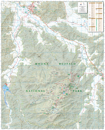
Mount Buffalo, Victoria Topographic Map
Spatial Vision
Outdoor Recreation Guide of Mount Buffalo National Park Alpine area in Victoria for Bushwalking, skiing, mountain biking and car touring
Page Size: 32 x 39.5 in (810 x 1000 mm)
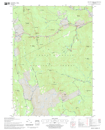
Mount Carmel Quadrangle, New Hampshire-Vermont
United States Forest Service
United States Forestry Service topographical map of Mount Carmel, New Hampshire-Vermont
Page Size: 21.75 x 27 in (552 x 686 mm)
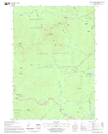
Mount Carrigain Quadrangle, New Hampshire-Vermont
United States Forest Service
United States Forestry Service topographical map of Mount Carrigain, New Hampshire-Vermont
Page Size: 21.75 x 27 in (552 x 686 mm)
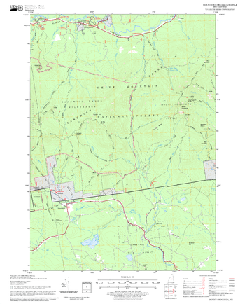
Mount Chocorua Quadrangle, New Hampshire-Vermont
United States Forest Service
United States Forestry Service topographical map of Mount Chocorua, New Hampshire-Vermont
Page Size: 21.75 x 27 in (552 x 686 mm)
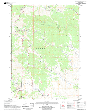
Mount Coolidge Quadrangle, South Dakota
United States Forest Service
United States Department of Agriculture Forestry Service topographical map of Mount Coolidge, Black Hills National Forest, South Dakota.
Page Size: 21.75 x 27 in (552 x 686 mm)
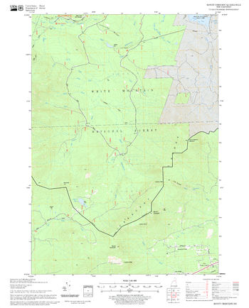
Mount Crescent Quadrangle, New Hampshire-Vermont
United States Forest Service
United States Department of Agriculture Forestry Service topographical map of Mount Crescent, White Mountains National Forest, New Hampshire-Vermont.
Page Size: 21.75 x 27 in (552 x 686 mm)
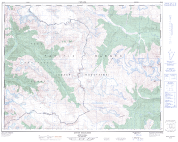
Mount Dalgleish - 92 J/12 - British Columbia
Natural Resources Canada
Canadian topographic map of Mount Dalgleish, British Columbia. NTS sheet 092J12 Edition 1.
Page Size: 32 x 25.5 in (809 x 642 mm)
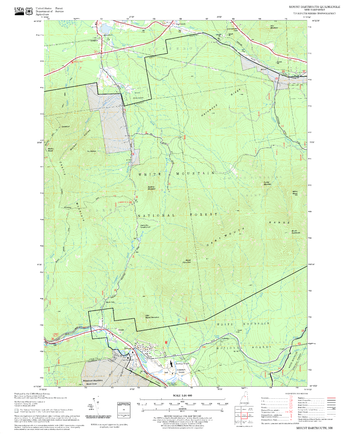
Mount Dartmouth Quadrangle, New Hampshire-Vermont
United States Forest Service
United States Forestry Service topographical map of Mount Dartmouth, New Hampshire-Vermont
Page Size: 21.75 x 27 in (552 x 686 mm)

Mount Edziza Provincial Park
GoTrekkers
Mount Edziza Provincial Park
Page Size: 35 x 42.5 in (889 x 1080 mm)
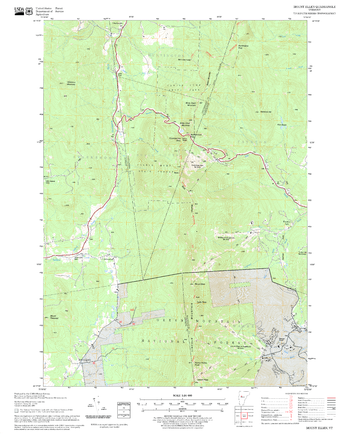
Mount Ellen Quadrangle, New Hampshire-Vermont
United States Forest Service
United States Forestry Service topographical map of Mount Ellen, New Hampshire-Vermont
Page Size: 21.75 x 27 in (552 x 686 mm)
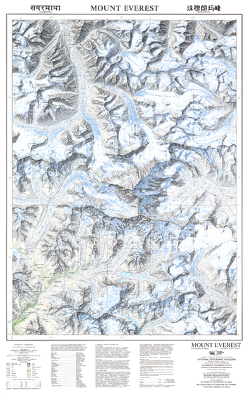
Mount Everest - Published 1988
National Geographic
This beautiful map of Mount Everest and the surrounding region was published in November 1988 with three articles on Mount Everest including "Roof of the World." Featuring soft, colored shading and technical information about the making of the map.
Page Size: 22.75 x 36 in (575 x 909 mm)
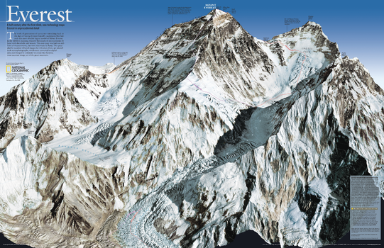
Mount Everest 50th Anniversary – Side A
National Geographic
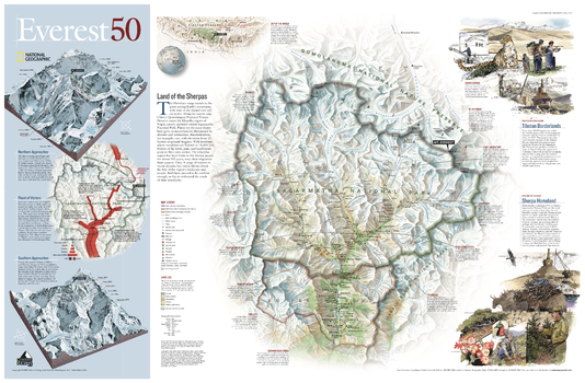
As seen in the May 2003 issue of National Geographic, this double-sided map celebrates the 50th anniversary of Sir Edmund Hillary's ascent to the summit of Mt. Everest. Side one features a digital rendering of Mount Everest created from infrared images taken by the space shuttle combined with stereo photographs taken from a jet aircraft. The work of generations of surveyors - stretching back to the days of George Everest himself - undergirds like bedrock this most detailed digital model of Mount Everest. The reverse side shows a map of Sagarmatha National Park and surrounding areas. Inset maps and informative sidebars describe the Sherpas, special locations in the area, the growth in visitors to the region, and the routes taken by famous Everest expeditions.
Page Size: 31.25 x 20.25 in (791 x 511 mm)
Mount Everest 50th Anniversary – Side B
National Geographic
As seen in the May 2003 issue of National Geographic, this double-sided map celebrates the 50th anniversary of Sir Edmund Hillary's ascent to the summit of Mt. Everest. Side one features a digital rendering of Mount Everest created from infrared images taken by the space shuttle combined with stereo photographs taken from a jet aircraft. The work of generations of surveyors - stretching back to the days of George Everest himself - undergirds like bedrock this most detailed digital model of Mount Everest. The reverse side shows a map of Sagarmatha National Park and surrounding areas. Inset maps and informative sidebars describe the Sherpas, special locations in the area, the growth in visitors to the region, and the routes taken by famous Everest expeditions.
Page Size: 31.25 x 20.25 in (791 x 511 mm)
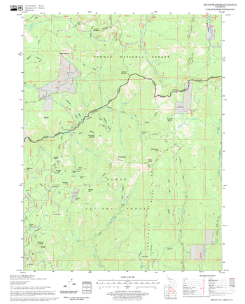
Mount Fillmore Quadrangle, California
United States Forest Service
United States Department of Agriculture Forestry Service topographical map of Mount Fillmore, Tahoe National Forest, California.
Page Size: 21.75 x 27 in (552 x 686 mm)
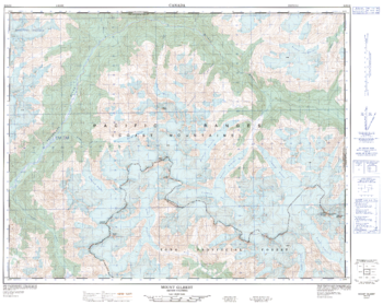
Mount Gilbert - 92 K/16 - British Columbia
Natural Resources Canada
Canadian topographic map of Mount Gilbert, British Columbia. NTS sheet 092K16 Edition 1.
Page Size: 31.75 x 25.25 in (805 x 641 mm)
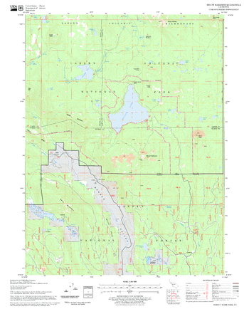
Mount Harkness Quadrangle, California
United States Forest Service
United States Department of Agriculture Forestry Service topographical map of Mount Harkness, Lassen National Forest, California.
Page Size: 21.75 x 27 in (552 x 686 mm)
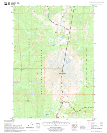
Mount Jefferson Quadrangle, Oregon
United States Forest Service
United States Department of Agriculture Forestry Service topographical map of Mount Jefferson, Deschutes National Forest, Oregon.
Page Size: 21.75 x 27 in (552 x 686 mm)
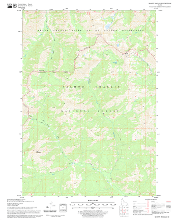
Mount Jordan Quadrangle, Idaho
United States Forest Service
United States Department of Agriculture Forestry Service topographical map of Mount Jordan, Salmon-Chalis National Forest, Idaho.
Page Size: 21.75 x 27 in (552 x 686 mm)
No search results