


MapSherpa Catalog

Montreal, Toronto (1906)
Natural Resources Canada
Contained within the 1st Edition (1906) of the Atlas of Canada is plate that has two maps. The first map is of the city of Montreal and the second map is of the city of Toronto. At this time the cities had a population over 25, 000. The map indicates the location of city wards, electric railways, and churches shown with the symbol of a cross.
Page Size: 17.25 x 24.25 in (433 x 614 mm)
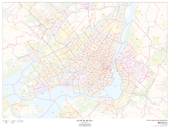
Montréal, Québec Postal Code Forward Sortation Areas
MapSherpa
This map of Montreal shows postal code forward sortation areas overlaid on a road map. Ideal for planning of deliveries, home services, sales territories, real estate and much more. Base map features include all roads with major roads and highways labelled; neighbourhood names; railways; and high level land use such as parks and recreation areas, industrial areas and hospital campuses.
Page Size: 48 x 36 in (1219 x 914 mm)
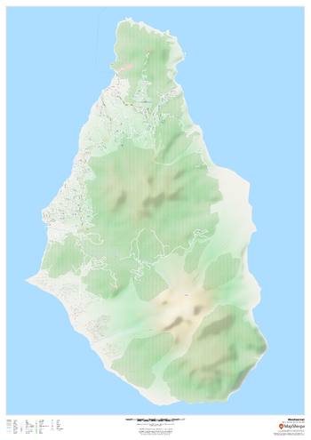
Montserrat
MapSherpa
This map of Montserrat features a full detailed road network for the island, trails, land use, points of interest, and almost all buildings. Useful for the traveller, and as a wall map for display in your home.
Page Size: 33.25 x 47 in (841 x 1189 mm)
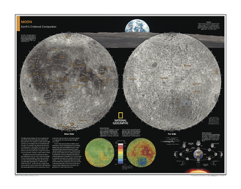
Moon - Atlas of the World, 10th Edition
National Geographic
Page Size: 28 x 22 in (711 x 559 mm)
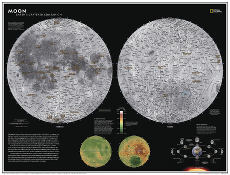
Moon - Atlas of the World, 11th Edition
National Geographic
Throughout human existence, the moon's enigmatic face and monthly waxing and waning have inspired intense fascination. Part of the mystique for ancient cultures might have lain in its unchanging aspect as it traversed the celestial sphere. The same lunar face permanently looks down on Earth because of "tidal locking." In 2013, NASA announced that its GRAIL mission had solved the gravitational mystery - but what other mysteries lurk on the far side of the moon?
The surface of Earth's closest neighbor in the solar system has been mapped since antiquity, but never with the fidelity that NASA's Lunar Reconnaisance Orbiter has provided. Thousands of photos from the spacecraft were stitched together into a mosaic of the surface.
This dual-hemisphere map of the moon, drawn in Lambert Azimuthal Equal-Area projection, makes this desolate landscape both familiar and far too alien. Thousands of craters are identified on both the near and far sides, offering readers a glimpse of the side of the moon that never sees the face of the Earth. A separate hemispheric elevation map and the phases of the moon provide further detail into this celestial body so long revered by humans.
This map makes an essential companion to Solar System: The Sun's Neighborhood, and its size makes it perfect for a gallery wall
This map is found in National Geographic's 11th Edition World Atlas and is now available as a stand alone product.
Page Size: 31.5 x 24 in (798 x 610 mm)
Moon - Atlas of the World, 11th Edition - Compact
National Geographic
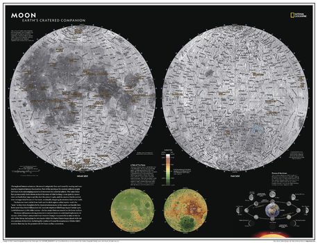
Throughout human existence, the moon's enigmatic face and monthly waxing and waning have inspired intense fascination. Part of the mystique for ancient cultures might have lain in its unchanging aspect as it traversed the celestial sphere. The same lunar face permanently looks down on Earth because of "tidal locking." In 2013, NASA announced that its GRAIL mission had solved the gravitational mystery - but what other mysteries lurk on the far side of the moon?
The surface of Earth's closest neighbor in the solar system has been mapped since antiquity, but never with the fidelity that NASA's Lunar Reconnaisance Orbiter has provided. Thousands of photos from the spacecraft were stitched together into a mosaic of the surface.
This dual-hemisphere map of the moon, drawn in Lambert Azimuthal Equal-Area projection, makes this desolate landscape both familiar and far too alien. Thousands of craters are identified on both the near and far sides, offering readers a glimpse of the side of the moon that never sees the face of the Earth. A separate hemispheric elevation map and the phases of the moon provide further detail into this celestial body so long revered by humans.
This map makes an essential companion to Solar System: The Sun's Neighborhood, and its size makes it perfect for a gallery wall
This map is found in National Geographic's 11th Edition World Atlas and is now available as a stand alone product.
Page Size: 21.5 x 16.25 in (540 x 413 mm)
Moon Quadrangle, South Dakota
United States Forest Service
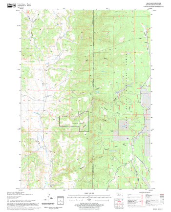
United States Department of Agriculture Forestry Service topographical map of Moon, Black Hills National Forest, South Dakota.
Page Size: 21.75 x 27 in (552 x 686 mm)
Moon Wall Map
Geo4Map
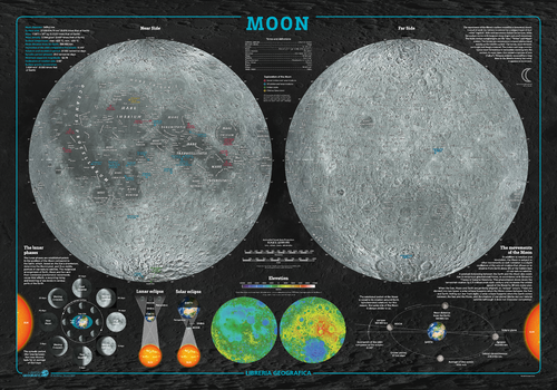
The fascinating world of astronomy illustrated in detailed charts of the moon.
Page Size: 38.75 x 27 in (980 x 680 mm)
Moon Wall Map - Italian
Geo4Map
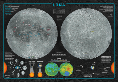
The fascinating world of astronomy illustrated in detailed charts of the moon in Italian.
Page Size: 38.75 x 27 in (980 x 680 mm)
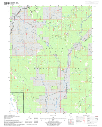
Moonlight Peak Quadrangle, California
United States Forest Service
United States Department of Agriculture Forestry Service topographical map of Moonlight Peak, Lassen National Forest, California.
Page Size: 21.75 x 27 in (552 x 686 mm)
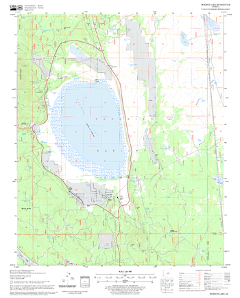
Mormon Lake Quadrangle, Arizona
United States Forest Service
United States Department of Agriculture Forestry Service topographical map of Mormon Lake, Coconino National Forest, Arizona.
Page Size: 21.75 x 27 in (552 x 686 mm)
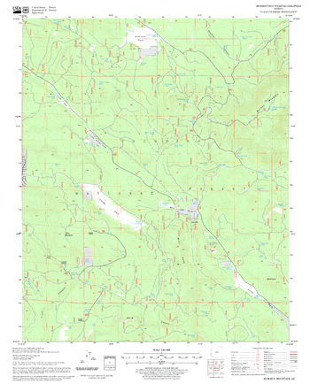
Mormon Mountain Quadrangle, Arizona
United States Forest Service
United States Department of Agriculture Forestry Service topographical map of Mormon Mountain, Coconino National Forest, Arizona.
Page Size: 21.75 x 27 in (552 x 686 mm)
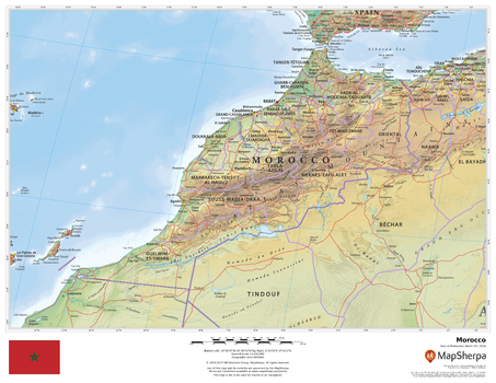
Morocco
MapSherpa
This beautiful map shows physical and political features for Morocco and surrounding areas. Relief shading and the use of different colours by height above sea level are both informative and attractive.
Page Size: 22 x 17 in (559 x 432 mm)
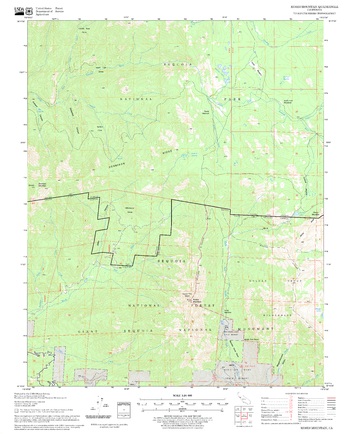
Moses Mountain Quadrangle, California
United States Forest Service
United States Department of Agriculture Forestry Service topographical map of Moses Mountain, Sequoia National Forest, California.
Page Size: 21.75 x 27 in (552 x 686 mm)
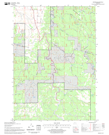
Moskee Quadrangle, South Dakota
United States Forest Service
United States Department of Agriculture Forestry Service topographical map of Moskee, Black Hills National Forest, South Dakota.
Page Size: 21.75 x 27 in (552 x 686 mm)
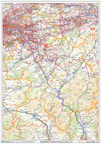
Motherwell - ML - Postcode Wall Map
XYZ Maps
The Motherwell Postcode Sector Wall Map shows detailed postcode sector boundaries (ML1 1, ML1 2) on a comprehensive background and is perfect for determining postcode boundaries for sales areas, planning mailshots and also an excellent reference for logistics. This wall map covers the whole of the ML Postcode Area.
Page Size: 33.25 x 47 in (841 x 1189 mm)
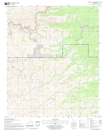
Mount Adelaide Quadrangle, California
United States Forest Service
United States Department of Agriculture Forestry Service topographical map of Mount Adelaide, Sequoia National Forest, California.
Page Size: 21.75 x 27 in (552 x 686 mm)
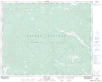
Mount Alex - 92 O/10 - British Columbia
Natural Resources Canada
Canadian topographic map of Mount Alex, British Columbia. NTS sheet 092O10 Edition 3.
Page Size: 31.5 x 25.5 in (799 x 642 mm)
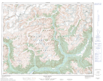
Mount Argyll - 92 K/9 - British Columbia
Natural Resources Canada
Canadian topographic map of Mount Argyll, British Columbia. NTS sheet 092K09 Edition 1.
Page Size: 32.5 x 25.75 in (821 x 652 mm)

Mount Assiniboine Area
GoTrekkers
Mount Assiniboine Area
Page Size: 39.5 x 31.5 in (1003 x 800 mm)
No search results