


MapSherpa Catalog
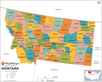
Montana Counties Map - Standard
MapSherpa
This map has been created exclusively for MapSherpa, and designed for reference or business use. Clear and clean colors & fonts matched with cartographic research makes this map of the 56 Montana counties easily readable and useful.
Page Size: 36 x 29 in (914 x 733 mm)
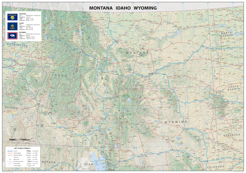
Montana Idaho Wyoming
Sparrow Maps
A detailed physical map of Montana, Idaho and Wyoming, USA, with land cover and relief features and including National Parks showing administrative divisions, state capitals, county seats and other settlements, roads and airports. The state flag, area and population are included for each state. One of a series of attractive maps of US states giving a comprehensive overview.
Page Size: 33.25 x 23.5 in (841 x 594 mm)
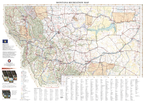
Montana Recreation Wall Map
Benchmark Maps
Montana covers a massive area (4th largest state in the USA) from its eastern Great Plains to the Rocky Mountains in the west. This wall map illustrates Big Sky County’s vast landscapes and scenic roads that connect world class destinations including Glacier and Yellowstone National Parks.
Page Size: 39 x 27.5 in (991 x 699 mm)

Montana Recreation Wall Map – 26 inch
Benchmark Maps
Montana covers a massive area (4th largest state in the USA) from its eastern Great Plains to the Rocky Mountains in the west. This wall map illustrates Big Sky County’s vast landscapes and scenic roads that connect world class destinations including Glacier and Yellowstone National Parks.
Page Size: 36.25 x 26 in (920 x 660 mm)
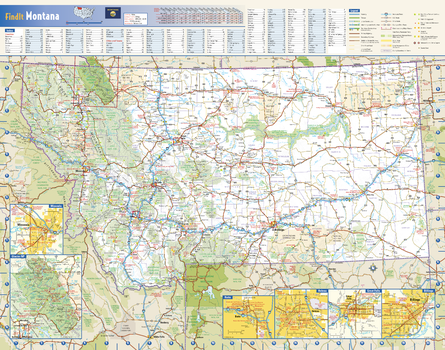
Montana State Wall Map
Globe Turner
This colorful, easy-to-read state map of Montana identifies all major thoroughfares, secondary roads, freeway interchanges, rest areas, distance markers, landmarks, recreational areas, and more. Shaded relief on the state map provides a three-dimensional sense of Montana’s topography. Detailed city inset maps of Billings, Butte, Great Falls, Helena and Missoula are based on the latest street information from our cartographic experts. The map also includes up-to-date inset of Glacier National Park. County and city indices make it simple to locate even the smallest town. City type sizes reflect the 2020 U.S. Census.
Page Size: 22.25 x 17.5 in (565 x 445 mm)
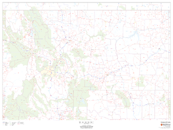
Montana ZIP Code Map
MapSherpa
This map of Montana shows ZIP codes overlaid on a road map. Base map features include county boundaries, major road network features, and state and national parks and conservation areas.
Page Size: 48 x 36 in (1219 x 914 mm)
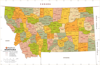
Montana ZIP Code Map with Counties - Extra Large
MapSherpa
This map has been created exclusively for MapSherpa, and designed for business or reference use. Clear and clean colors & fonts matched with cartographic research makes this map of Montana's counties and ZIP codes easily readable and useful.
Page Size: 60 x 39.25 in (1524 x 995 mm)
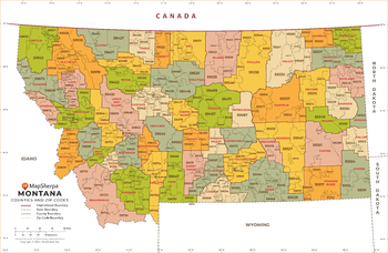
Montana ZIP Code Map with Counties - Large
MapSherpa
This map has been created exclusively for MapSherpa, and designed for business or reference use. Clear and clean colors & fonts matched with cartographic research makes this map of Montana's counties and ZIP codes easily readable and useful.
Page Size: 48 x 31.5 in (1219 x 796 mm)
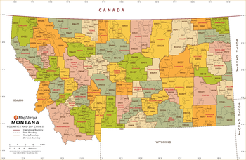
Montana ZIP Code Map with Counties - Standard
MapSherpa
This map has been created exclusively for MapSherpa, and designed for business or reference use. Clear and clean colors & fonts matched with cartographic research makes this map of Montana's counties and ZIP codes easily readable and useful.
Page Size: 36 x 23.75 in (914 x 597 mm)
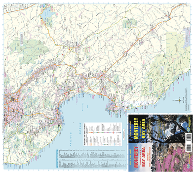
Monterey Bay Area and Vicinity Map
GM Johnson
Monterey Peninsula, California Recreation Map. Map from San Jose to Big Sur. Index of Communities
Page Size: 27.75 x 24.75 in (701 x 625 mm)
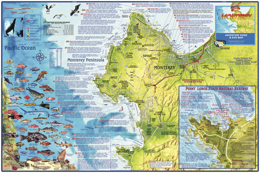
Monterey Bay, California Wall Map
Franko Maps
This relief map depicts the Monterey Peninsula and environs, including Sand City, Pacific Grove, Pebble Beach, Carmel and Point Lobos. Dive and snorkel sites are located, named and described. The map has surfing and kayaking spots, roads and bike routes and points of interest. There is a detailed inset of Point Lobos State Natural Reserve. Also, colorful illustrations of fish and other kelp forest creatures.
Page Size: 36 x 24 in (914 x 610 mm)
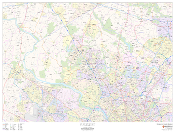
Montgomery County, Maryland
MapSherpa
This map of Montgomery County, Maryland shows regional level information. Base map features include highways and major roads with labelling; neighborhood names; railways; high level land use such as parks and recreation areas, industrial areas and hospital campuses; and a selection of points of interest including transportation hubs like airports and train stations, tourist information, police stations and shopping centres. ZIP code boundaries are shown as a secondary map feature.
Page Size: 48 x 36 in (1219 x 914 mm)
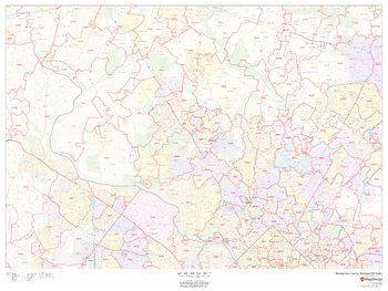
Montgomery County, Maryland ZIP Codes
MapSherpa
This map of Montgomery County, Maryland shows ZIP code areas overlaid on a road map. Ideal for planning of deliveries, home services, sales territories, real estate and much more. Base map features include all roads with major roads and highways labelled; neighborhood names; railways; and high level land use such as parks and recreation areas, industrial areas and hospital campuses.
Page Size: 48 x 36 in (1219 x 914 mm)
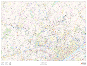
Montgomery County, Pennsylvania
MapSherpa
This map of Montgomery County, Pennsylvania shows regional level information. Base map features include highways and major roads with labelling; neighborhood names; railways; high level land use such as parks and recreation areas, industrial areas and hospital campuses; and a selection of points of interest including transportation hubs like airports and train stations, tourist information, police stations and shopping centres. ZIP code boundaries are shown as a secondary map feature.
Page Size: 48 x 36 in (1219 x 914 mm)
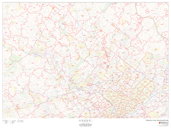
Montgomery County, Pennsylvania ZIP Codes
MapSherpa
This map of Montgomery County, Pennsylvania shows ZIP code areas overlaid on a road map. Ideal for planning of deliveries, home ervices, sales territories, real estate and much more. Base map features include all roads with major roads and highways labelled; neighborhood names; railways; and high level land use such as parks and recreation areas, industrial areas and hospital campuses.
Page Size: 48 x 36 in (1219 x 914 mm)
Montreal
Lucidmap
Create custom street maps in Montreal centred on your business, home or other key point of interest. Maps are developed from Lucidmap’s iconic Canadian street mapping cartography. Coverage includes most of Greater Montreal. The northern coverage limit includes, from east to west, Lavaltrie, Haut l'Assomption, L'Épiphanie, La Plaine, Saint-Janvier, Saint-Augustin, La Fresnière, Saint-Joseph-du-lac, Oka, Husdon and Saint-Polycarpe. The southern coverage limit includes, from east to west, Contrecour, Verchères, Beloeil, Chambly, Saint-Philippe, northern St-Rémi, Mercier and Saint-Louis-de-Gonzague. Native scale is 1:25,000.
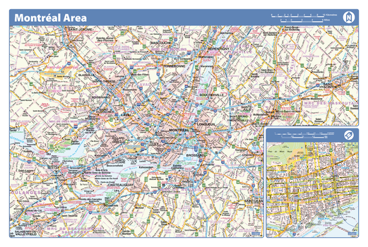
Montreal Area - Compact
Lucidmap
Map of the Montreal area showing major roads, major road names, political boundaries, major points of interest, parks, public buildings and landmarks.
Page Size: 21.5 x 14.25 in (546 x 362 mm)
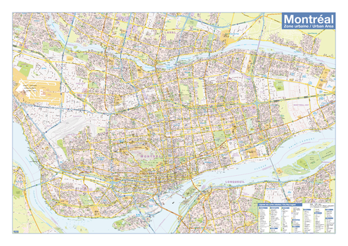
Montreal Downtown
Lucidmap
Map of downtown Montreal showing all roads, road names, political boundaries, transit, points of interest, parks, schools, churches, public buildings and landmarks.
Page Size: 40 x 28 in (1016 x 711 mm)
Montreal Downtown - Compact
Lucidmap
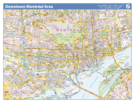
Map of downtown Montreal showing all roads, road names, political boundaries, transit, points of interest, parks, schools, churches, public buildings and landmarks.
Page Size: 21.5 x 16.25 in (546 x 413 mm)
Montreal French Downtown - Compact (French Version)
Lucidmap
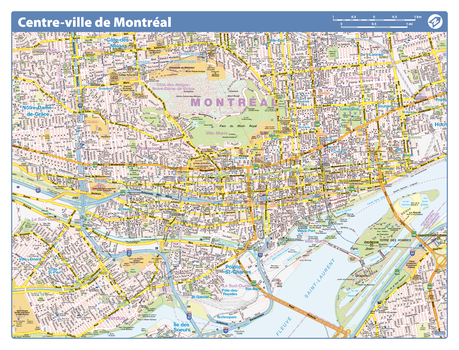
Map of downtown Montreal in French showing all roads, road names, political boundaries, transit, points of interest, parks, schools, churches, public buildings and landmarks.
Page Size: 21.5 x 16.25 in (546 x 413 mm)
No search results