


MapSherpa Catalog

Mississippi river Pool 10
Mapping Specialists
An Attractive map of the lake showing a visual 3D representation of the lake bottom. Includes boat launches, rock area and vegetation. Land area is high resolution aerial imagery.
Page Size: 27.75 x 37.25 in (705 x 943 mm)
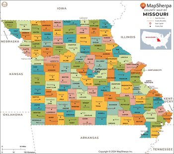
Missouri Counties Map - Extra Large
MapSherpa
This map has been created exclusively for MapSherpa, and designed for reference or business use. Clear and clean colors & fonts matched with cartographic research makes this map of the 115 Missouri counties easily readable and useful.
Page Size: 60 x 53.25 in (1524 x 1351 mm)
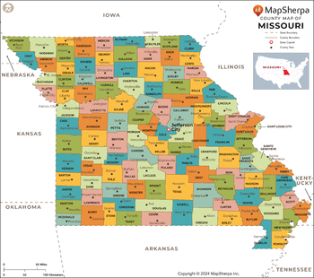
Missouri Counties Map - Large
MapSherpa
This map has been created exclusively for MapSherpa, and designed for reference or business use. Clear and clean colors & fonts matched with cartographic research makes this map of the 115 Missouri counties easily readable and useful.
Page Size: 48 x 42.75 in (1219 x 1081 mm)
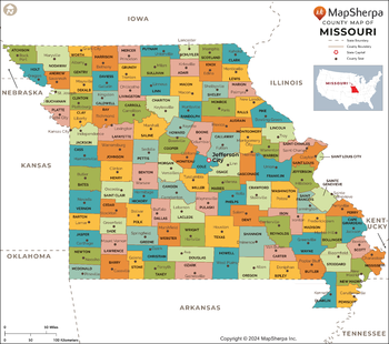
Missouri Counties Map - Standard
MapSherpa
This map has been created exclusively for MapSherpa, and designed for reference or business use. Clear and clean colors & fonts matched with cartographic research makes this map of the 115 Missouri counties easily readable and useful.
Page Size: 36 x 32 in (914 x 810 mm)
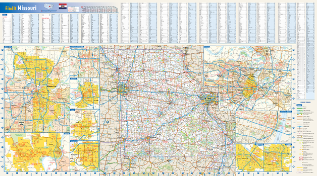
Missouri State Wall Map
Globe Turner
This colorful, easy-to-read state map of Missouri identifies all major thoroughfares, secondary roads, freeway interchanges, rest areas, distance markers, landmarks, recreational areas, and more. Shaded relief on the state map provides a three-dimensional sense of Missouri's topography. Detailed city inset maps of Branson, Columbia, Jefferson City, Joplin, Kansas City, St. Louis, St. Joseph, and Springfield are based on the latest street information from our cartographic experts. Up-to-date insets of downtown Kansas City and downtown St. Louis depict the must-see attractions in those cities. County and city indices make it simple to locate even the smallest town.
Page Size: 32.75 x 18.25 in (832 x 464 mm)
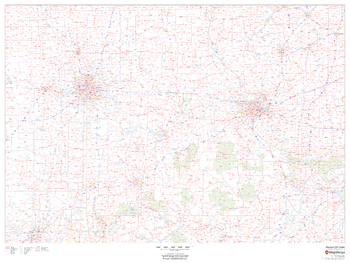
Missouri ZIP Code Map
MapSherpa
This map of Missouri shows ZIP codes overlaid on a road map. Base map features include county boundaries, major road network features, and state and national parks and conservation areas.
Page Size: 48 x 36 in (1219 x 914 mm)
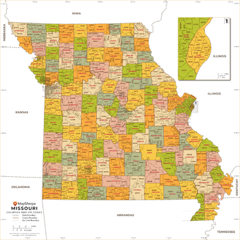
Missouri ZIP Code Map with Counties - Extra Large
MapSherpa
This map has been created exclusively for MapSherpa, and designed for business or reference use. Clear and clean colors & fonts matched with cartographic research makes this map of Missouri's counties and ZIP codes easily readable and useful.
Page Size: 60 x 60 in (1524 x 1524 mm)
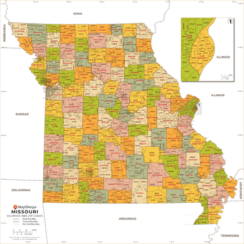
Missouri ZIP Code Map with Counties - Large
MapSherpa
This map has been created exclusively for MapSherpa, and designed for business or reference use. Clear and clean colors & fonts matched with cartographic research makes this map of Missouri's counties and ZIP codes easily readable and useful.
Page Size: 48 x 48 in (1219 x 1219 mm)
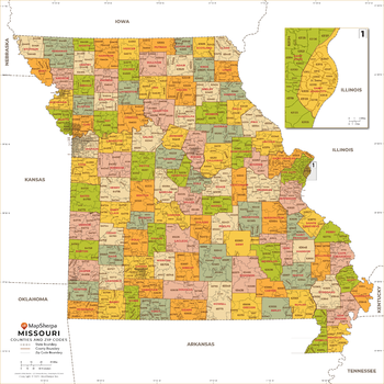
Missouri ZIP Code Map with Counties - Standard
MapSherpa
This map has been created exclusively for MapSherpa, and designed for business or reference use. Clear and clean colors & fonts matched with cartographic research makes this map of Missouri's counties and ZIP codes easily readable and useful.
Page Size: 36 x 36 in (914 x 914 mm)
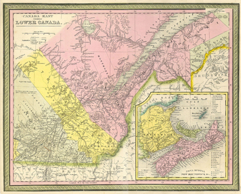
Mitchell Map of Eastern Canada including Quebec (1850)
Artokoloro
1850 map of eastern Canada by American geographer Samuel Augustus Mitchell. Full title: Canada East formerly Lower Canada
Page Size: 13.75 x 11.25 in (347 x 281 mm)
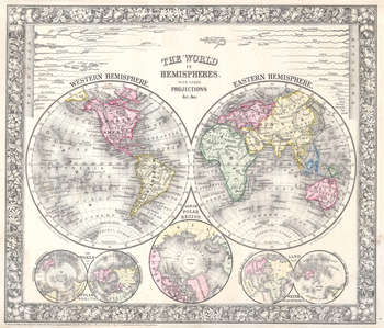
Mitchell Map of the World on Hemisphere Projection (1864)
Artokoloro
1864 hemisphere map of the World by America geographer Samuel Augustus Mitchell. Features the eastern and western hemispheres, with insets of the northern and southern hemispheres, the north polar region, and land and water hemispheres. Full title: The World in Hemispheres with Other Projections.
Page Size: 18 x 15.5 in (456 x 390 mm)

Moab Utah
Benchmark Maps
The town of Moab in southeastern Utah sits between Arches National Park and Canyonlands National Park, each with world-class recreation opportunities thanks to the other-worldly desert landscapes and geologic features throughout the area. This wall map details the terrain, public land ownership, and recreation features throughout the area.
Page Size: 26 x 34.75 in (660 x 880 mm)
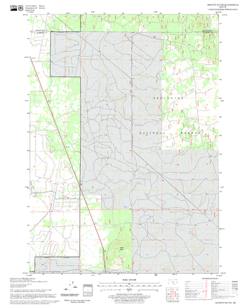
Moffitt Butte Quadrangle, Oregon
United States Forest Service
United States Department of Agriculture Forestry Service topographical map of Moffitt Butte, Deschutes National Forest, Oregon.
Page Size: 21.75 x 27 in (552 x 686 mm)
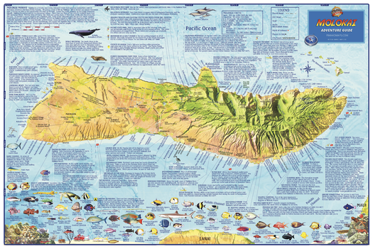
Molokai, Hawaii Wall Map
Franko Maps
The entire island of Molokai depicted on a detailed, dramatic relief map. Hypsometric tinting employs colors to visualize land heights and water depths. Descriptions of outdoor recreation opportunities, points of interest and more. Dive and snorkel sites are named and described. There are colorful illustrations of beautiful fish and coral reef creatures.
Page Size: 36 x 24 in (914 x 610 mm)
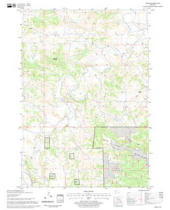
Mona Quadrangle, South Dakota
United States Forest Service
United States Department of Agriculture Forestry Service topographical map of Mona, Black Hills National Forest, South Dakota.
Page Size: 21.75 x 27 in (552 x 686 mm)
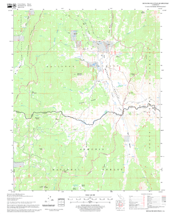
Monache Mountain Quadrangle, California
United States Forest Service
United States Department of Agriculture Forestry Service topographical map of Monache Mountain, Sequoia National Forest, California.
Page Size: 21.75 x 27 in (552 x 686 mm)
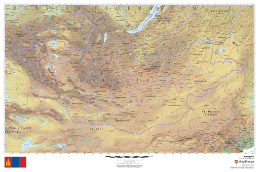
Mongolia
MapSherpa
This beautiful map shows physical and political features for Mongolia and surrounding areas. Relief shading and the use of different colours by height above sea level are both informative and attractive.
Page Size: 36 x 24 in (914 x 610 mm)

Monona & Wingra Lake
Mapping Specialists
An Attractive map of the lake showing a visual 3D representation of the lake bottom. Includes boat launches, rock area and vegetation. Land area is high resolution aerial imagery.
Page Size: 37.25 x 27.75 in (943 x 705 mm)
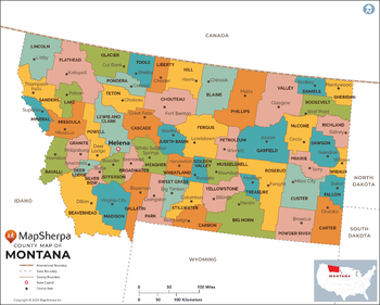
Montana Counties Map - Extra Large
MapSherpa
This map has been created exclusively for MapSherpa, and designed for reference or business use. Clear and clean colors & fonts matched with cartographic research makes this map of the 56 Montana counties easily readable and useful.
Page Size: 60 x 48.25 in (1524 x 1222 mm)
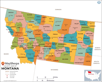
Montana Counties Map - Large
MapSherpa
This map has been created exclusively for MapSherpa, and designed for reference or business use. Clear and clean colors & fonts matched with cartographic research makes this map of the 56 Montana counties easily readable and useful.
Page Size: 48 x 38.5 in (1219 x 977 mm)
No search results