


MapSherpa Catalog
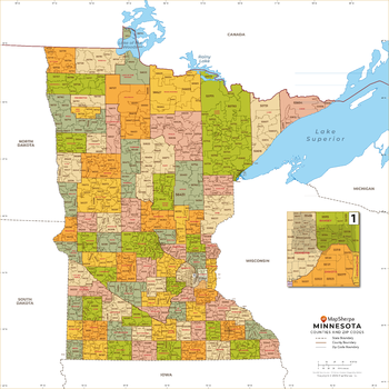
Minnesota ZIP Code Map with Counties - Standard
MapSherpa
This map has been created exclusively for MapSherpa, and designed for business or reference use. Clear and clean colors & fonts matched with cartographic research makes this map of Minnesota's counties and ZIP codes easily readable and useful.
Page Size: 36 x 36 in (914 x 914 mm)

Minnetonka Lake
Mapping Specialists
An Attractive map of the lake showing a visual 3D representation of the lake bottom. Includes boat launches, rock area and vegetation. Land area is high resolution aerial imagery.
Page Size: 37.25 x 27.75 in (943 x 705 mm)

Minocqua Chain
Mapping Specialists
An Attractive map of the lake showing a visual 3D representation of the lake bottom. Includes boat launches, rock area and vegetation. Land area is high resolution aerial imagery.
Page Size: 37.25 x 27.75 in (943 x 705 mm)
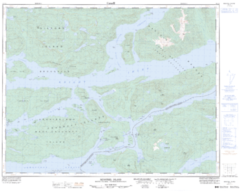
Minstrel Island - 92 L/9 - British Columbia
Natural Resources Canada
Canadian topographic map of Minstrel Island, British Columbia. NTS sheet 092L09 Edition 3.
Page Size: 32.25 x 25.75 in (814 x 653 mm)
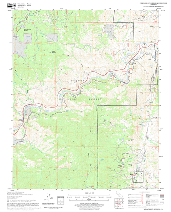
Miracle Hot Springs Quadrangle, California
United States Forest Service
United States Department of Agriculture Forestry Service topographical map of Miracle Hot Springs, Sequoia National Forest, California.
Page Size: 21.75 x 27 in (552 x 686 mm)
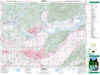
Mission - 92 G/1 - British Columbia
Natural Resources Canada
Canadian topographic map of Mission, British Columbia. NTS sheet 092G01 Edition 6.
Page Size: 34.75 x 26 in (880 x 659 mm)
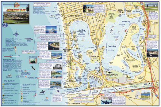
Mission Bay, San Diego, California Wall Map
Franko Maps
A detailed map of this San Diego aquatic park. Shows buoys, moorings, tie-ups, ramps, personal watercraft areas, swim area, waterski areas, dive sites, kayak put-ins, lifeguard towers, bike/walk/skate paths, and more.
Page Size: 36 x 24 in (914 x 610 mm)

Missippi River Pool 4 - Pepin
Mapping Specialists
An Attractive map of the lake showing a visual 3D representation of the lake bottom. Includes boat launches, rock area and vegetation. Land area is high resolution aerial imagery.
Page Size: 37.25 x 27.75 in (943 x 705 mm)
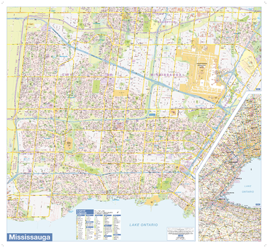
Mississauga Wall Map - Large
Lucidmap
This wall map shows highly detailed local information of the city of Mississauga. Full street labeling along with transit information, parks, schools, churches and landmarks throughout the city are displayed.
The map has been designed in a very clear and legible manner with a traditional Canadian street map style embraced by map buyers over many years.
Page Size: 39 x 36 in (991 x 914 mm)
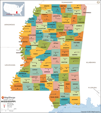
Mississippi Counties Map - Extra Large
MapSherpa
This map has been created exclusively for MapSherpa, and designed for reference or business use. Clear and clean colors & fonts matched with cartographic research makes this map of Mississippi Counties Map easily readable and useful. The map shows the 82 counties of Mississippi and their borders across the Magnolia State.
Page Size: 60 x 67.25 in (1524 x 1708 mm)
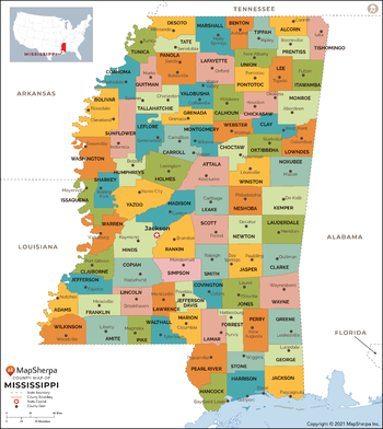
Mississippi Counties Map - Large
MapSherpa
This map has been created exclusively for MapSherpa, and designed for reference or business use. Clear and clean colors & fonts matched with cartographic research makes this map of Mississippi Counties Map easily readable and useful. The map shows the 82 counties of Mississippi and their borders across the Magnolia State.
Page Size: 48 x 54 in (1219 x 1366 mm)
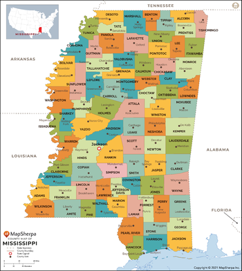
Mississippi Counties Map - Standard
MapSherpa
This map has been created exclusively for MapSherpa, and designed for reference or business use. Clear and clean colors & fonts matched with cartographic research makes this map of Mississippi Counties Map easily readable and useful. The map shows the 82 counties of Mississippi and their borders across the Magnolia State.
Page Size: 36 x 40.5 in (914 x 1024 mm)

Mississippi River Pool 7
Mapping Specialists
An Attractive map of the lake showing a visual 3D representation of the lake bottom. Includes boat launches, rock area and vegetation. Land area is high resolution aerial imagery.
Page Size: 37.25 x 28 in (943 x 705 mm)

Mississippi River Pool 8
Mapping Specialists
An Attractive map of the lake showing a visual 3D representation of the lake bottom. Includes boat launches, rock area and vegetation. Land area is high resolution aerial imagery.
Page Size: 27.75 x 37.25 in (705 x 943 mm)

Mississippi River Pool 9
Mapping Specialists
An Attractive map of the lake showing a visual 3D representation of the lake bottom. Includes boat launches, rock area and vegetation. Land area is high resolution aerial imagery.
Page Size: 27.75 x 37.25 in (705 x 943 mm)
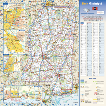
Mississippi State Wall Map
Globe Turner
This colorful, easy-to-read state map of Mississippi identifies all major thoroughfares, secondary roads, freeway interchanges, rest areas, distance markers, landmarks, recreational areas, and more. Shaded relief on the state map provides a three-dimensional sense of Mississippi’s topography. Detailed city inset maps of Biloxi / Gulfport, Hattiesburg, Jackson and Vicksburg are based on the latest street information from our cartographic experts. County and city indices make it simple to locate even the smallest town.
Page Size: 16.75 x 16.75 in (425 x 425 mm)
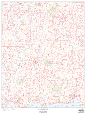
Mississippi ZIP Code Map
MapSherpa
This map of Mississippi shows ZIP codes overlaid on a road map. Base map features include municipality and county boundaries, major road network features, and state and national parks and conservation areas.
Page Size: 36 x 48 in (914 x 1219 mm)
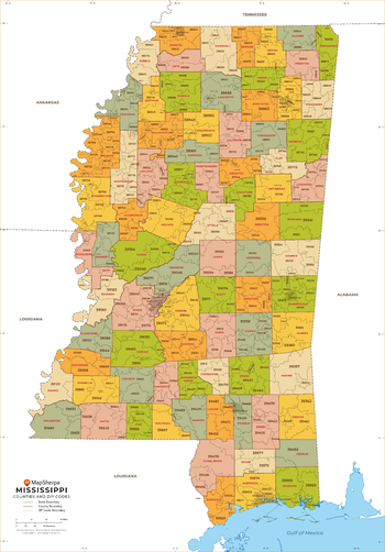
Mississippi ZIP Code Map with Counties - Extra Large
MapSherpa
This map has been created exclusively for MapSherpa, and designed for business or reference use. Clear and clean colors & fonts matched with cartographic research makes this Mississippi Zip Code Map with Counties easily readable and useful. The map shows the 82 counties of Mississippi and the borders of the 423 zip codes across the Magnolia State.
Page Size: 60 x 86.25 in (1524 x 2185 mm)
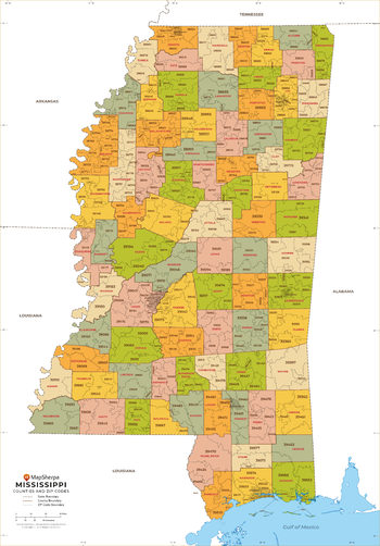
Mississippi ZIP Code Map with Counties - Large
MapSherpa
This map has been created exclusively for MapSherpa, and designed for business or reference use. Clear and clean colors & fonts matched with cartographic research makes this Mississippi Zip Code Map with Counties easily readable and useful. The map shows the 82 counties of Mississippi and the borders of the 423 zip codes across the Magnolia State.
Page Size: 48 x 69 in (1219 x 1748 mm)
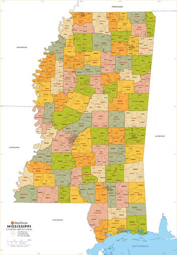
Mississippi ZIP Code Map with Counties - Standard
MapSherpa
This map has been created exclusively for MapSherpa, and designed for business or reference use. Clear and clean colors & fonts matched with cartographic research makes this Mississippi Zip Code Map with Counties easily readable and useful. The map shows the 82 counties of Mississippi and the borders of the 423 zip codes across the Magnolia State.
Page Size: 36 x 51.75 in (914 x 1311 mm)
No search results