


MapSherpa Catalog

Middlesex County, Massachusetts
MapSherpa
This map of Middlesex County, Massachusetts shows regional level information. Base map features include highways and major roads with labelling; railways; high level land use such as parks and recreation areas; and a selection of points of interest including transportation hubs like airports and train stations, tourist information and police stations. ZIP code boundaries are shown as a secondary map feature.
Page Size: 48 x 36 in (1219 x 914 mm)
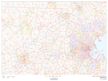
Middlesex County, Massachusetts ZIP Codes
MapSherpa
This map of Middlesex County, Massachusetts shows ZIP code areas overlaid on a road map. Ideal for planning of deliveries, home services, sales territories, real estate and much more. Base map features include all roads with major roads and highways labelled; neighborhood names; railways; and high level land use such as parks and recreation areas, industrial areas and hospital campuses.
Page Size: 48 x 36 in (1219 x 914 mm)
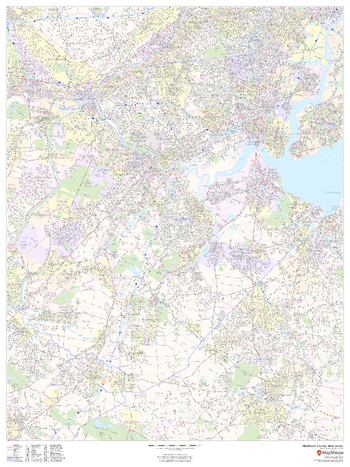
Middlesex County, New Jersey
MapSherpa
This map of Middlesex County, New Jersey shows street level information including street labeling. Base map features include all roads with major roads and highways labelled; neighborhood names; railways; high level land use such as parks and recreation areas, industrial areas and hospital campuses; and a variety of points of interest including libraries, stadiums, museums, border crossings and more. ZIP code boundaries are shown as a secondary map feature.
Page Size: 36 x 48 in (914 x 1219 mm)
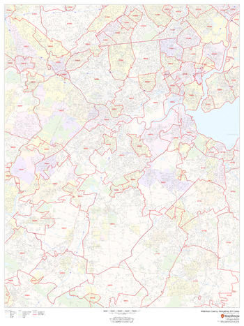
Middlesex County, New Jersey ZIP Codes
MapSherpa
This map of Middlesex County, New Jersey shows ZIP code areas overlaid on a road map. Ideal for planning of deliveries, home ervices, sales territories, real estate and much more. Base map features include all roads with major roads and highways labelled; neighborhood names; railways; and high level land use such as parks and recreation areas, industrial areas and hospital campuses.
Page Size: 36 x 48 in (914 x 1219 mm)
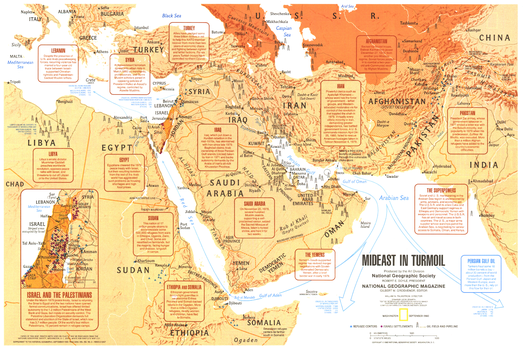
Mideast in Turmoil - Published 1980
National Geographic
This map summarizes the social and economic turmoil in the Middle East during the early 1980's, including the Soviet occupation of Afghanistan, war in Ethiopia, and conflict between Israel and the Palestinians. Published in September 1980 as a companion to the "Two Centuries of Conflict in the Middle East" map and the article "Saudi Arabia: The Kingdom and Its Power."
Page Size: 20.75 x 14 in (525 x 350 mm)
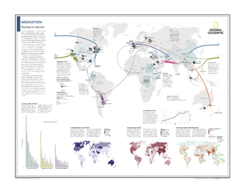
Migration: Moving to Survive - Atlas of the World, 10th Edition
National Geographic
Migrating to Cities; Counting Conflict Refugees; Locating Migrant Concentrations; Charting Remittances; Tracking Migrant Dollars; Predicting Climate-Induced Migrations
Page Size: 28 x 22 in (711 x 559 mm)
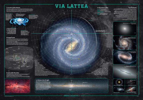
Milky Way Wall Map - Italian
Geo4Map
The fascinating world of astronomy illustrated in detailed charts of the Milky Way in Italian.
Page Size: 38.75 x 27 in (980 x 680 mm)
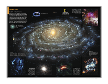
Milky Way: Earth's Galactic Home - Atlas of the World, 10th Edition
National Geographic
Page Size: 28 x 22 in (711 x 559 mm)
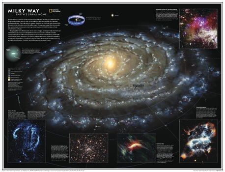
Milky Way: Earth's Spiral Home - Atlas of the World, 11th Edition
National Geographic
Home galaxy of Earth, the Milky Way is a spiral-shaped system of a few hundred billion stars. Bright regions of recently formed stars highlight its arms, while older stars explode or expel the outer layers as planetary nebulae, then fade away and die. A thick swarm of orange and red stars marks the galactic bulge, encapsulating the star-packed galactic center. At its core may lie a black hole, and the scale is staggering: Light from a star at one edge of the galaxy takes about 100,000 years to reach the opposite side.
Explore the Milky Way with this gorgeous computer-generated image. Showing the entire galaxy in one perspective of a 3D model, this map incorporates the positions of hundreds of thousands of stars and nebulae. It shows Earth's location near the Orion Arm, and includes additional photographs, descriptions, and locations of fascinating and stunning phenomena throughout the galaxy.
Star clusters, interstellar gas and dust, nebulae, young stars, molecular clouds, and galactic bursts are all depicted on this map in vivid blasts of color against the darkness of space. Read about phenomena like the eerie "ghosts of a star," whose tendrils can be seen with binoculars from Earth.
This map makes an essential companion to Solar System: The Sun's Neighborhood, and its size makes it perfect for a gallery wall.
This map is found in National Geographic's 11th Edition World Atlas and is now available as a stand alone product.
Page Size: 31.5 x 24 in (798 x 610 mm)
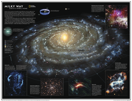
Milky Way: Earth's Spiral Home - Atlas of the World, 11th Edition - Compact
National Geographic
Home galaxy of Earth, the Milky Way is a spiral-shaped system of a few hundred billion stars. Bright regions of recently formed stars highlight its arms, while older stars explode or expel the outer layers as planetary nebulae, then fade away and die. A thick swarm of orange and red stars marks the galactic bulge, encapsulating the star-packed galactic center. At its core may lie a black hole, and the scale is staggering: Light from a star at one edge of the galaxy takes about 100,000 years to reach the opposite side.
Explore the Milky Way with this gorgeous computer-generated image. Showing the entire galaxy in one perspective of a 3D model, this map incorporates the positions of hundreds of thousands of stars and nebulae. It shows Earth's location near the Orion Arm, and includes additional photographs, descriptions, and locations of fascinating and stunning phenomena throughout the galaxy.
Star clusters, interstellar gas and dust, nebulae, young stars, molecular clouds, and galactic bursts are all depicted on this map in vivid blasts of color against the darkness of space. Read about phenomena like the eerie "ghosts of a star," whose tendrils can be seen with binoculars from Earth.
This map makes an essential companion to Solar System: The Sun's Neighborhood, and its size makes it perfect for a gallery wall.
This map is found in National Geographic's 11th Edition World Atlas and is now available as a stand alone product.
Page Size: 21.5 x 16.25 in (540 x 413 mm)
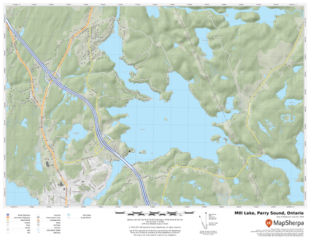
Mill Lake, Parry Sound, Ontario
MapSherpa
A cartographically beautiful map of Mill Lake, Parry Sound, Ontario ideal for showing off cottages, resorts, lakes and other favourite places.
Page Size: 22 x 17 in (559 x 432 mm)
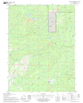
Miller Mountain Quadrangle, California
United States Forest Service
United States Department of Agriculture Forestry Service topographical map of Miller Mountain, Lassen National Forest, California.
Page Size: 21.75 x 27 in (552 x 686 mm)
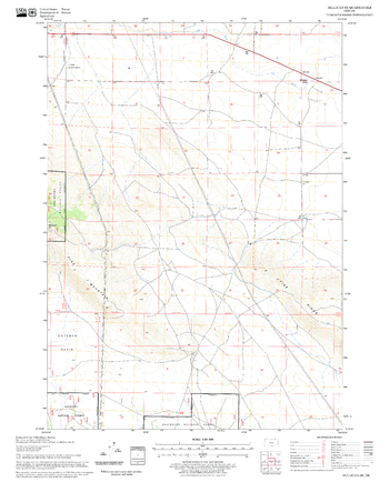
Millican SE Quadrangle, Oregon
United States Forest Service
United States Department of Agriculture Forestry Service topographical map of Millican SE, Deschutes National Forest, Oregon.
Page Size: 21.75 x 27 in (552 x 686 mm)
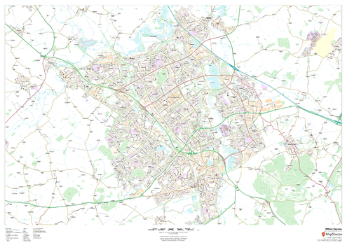
Milton Keynes
MapSherpa
This map of Milton Keynes shows detailed street level information including extensive street labelling. Ideal for planning of deliveries, home services, sales territories, real estate and much more.
Page Size: 47 x 33.25 in (1189 x 841 mm)
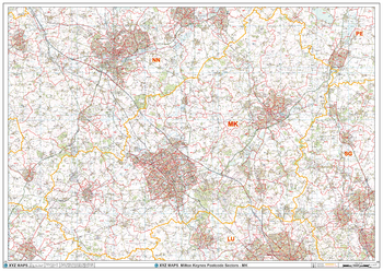
Milton Keynes - MK - Postcode Wall Map
XYZ Maps
The Milton Keynes Postcode Sector Wall Map shows detailed postcode sector boundaries (MK1 1, MK1 2) on a comprehensive background and is perfect for determining postcode boundaries for sales areas, planning mailshots and also an excellent reference for logistics. This wall map covers the whole of the MK Postcode Area.
Page Size: 47 x 33.25 in (1189 x 841 mm)
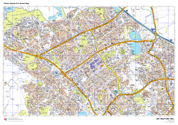
Milton Keynes A-Z Street Map
A-Z Maps
This up-to-date A-Z street map includes all of the 1,500 streets in and around Milton Keynes.
As well as Central Milton Keynes, the other areas covered include Shenley Church End, Walton Hall, Monkston, Willen Lake, Pennyland, Great Linford, Bradville and Heelands.
Page Size: 33.25 x 23.5 in (841 x 594 mm)
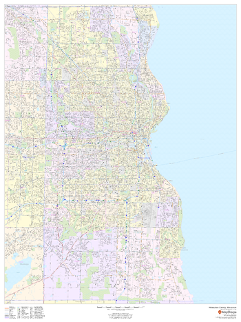
Milwaukee County, Wisconsin
MapSherpa
This map of Milwaukee County, Wisconsin shows street level information including street labeling. Base map features include all roads with major roads and highways labelled; neighborhood names; railways; high level land use such as parks and recreation areas, industrial areas and hospital campuses; and a variety of points of interest including libraries, stadiums, museums, border crossings and more. ZIP code boundaries are shown as a secondary map feature.
Page Size: 36 x 48 in (914 x 1219 mm)
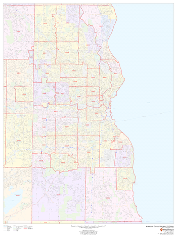
Milwaukee County, Wisconsin ZIP Codes
MapSherpa
This map of Milwaukee County, Wisconsin shows ZIP code areas overlaid on a road map. Ideal for planning of deliveries, home services, sales territories, real estate and much more. Base map features include all roads with major roads and highways labelled; neighborhood names; railways; and high level land use such as parks and recreation areas, industrial areas and hospital campuses.
Page Size: 36 x 48 in (914 x 1219 mm)
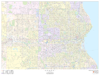
Milwaukee, Wisconsin Inner Metro - Landscape
MapSherpa
This landscape-oriented map of central Milwaukee, Wisconsin shows detailed street level information including extensive street labeling. Ideal for planning of deliveries, home services, sales territories, real estate and much more. Base map features include all roads with major roads and highways labelled; neighborhood names; railways; high level land use such as parks and recreation areas, industrial areas and hospital campuses; and a variety of points of interest including schools, libraries, stadiums, museums, border crossings and more.
Page Size: 48 x 36 in (1219 x 914 mm)
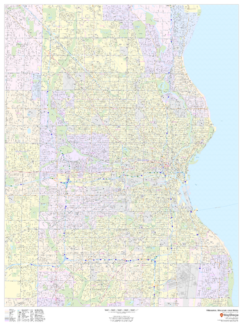
Milwaukee, Wisconsin Inner Metro - Portrait
MapSherpa
This portrait-oriented map of central Milwaukee, Wisconsin shows detailed street level information including extensive street labeling. Ideal for planning of deliveries, home services, sales territories, real estate and much more. Base map features include all roads with major roads and highways labelled; neighborhood names; railways; high level land use such as parks and recreation areas, industrial areas and hospital campuses; and a variety of points of interest including schools, libraries, stadiums, museums, border crossings and more.
Page Size: 36 x 48 in (914 x 1219 mm)
No search results