


MapSherpa Catalog
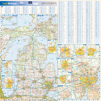
Michigan State Wall Map
Globe Turner
This colorful, easy-to-read state map of Michigan identifies all major thoroughfares, secondary roads, freeway interchanges, rest areas, distance markers, landmarks, recreational areas, and more. Shaded relief on the state map provides a three-dimensional sense of Michigan's topography. Detailed inset maps of Isle Royale National Park, Northwestern Michigan, Saginaw, Grand Rapids, Flint, Ann Arbor, Detroit, Kalamazoo, Battle Creek, Muskegon and Lansing are based on the latest street information from our cartographic experts. County and city indices make it simple to locate even the smallest town.
Page Size: 24 x 24 in (610 x 610 mm)
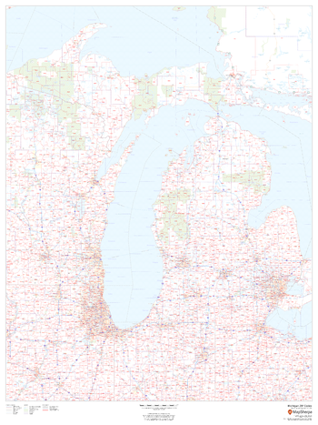
Michigan ZIP Code Map
MapSherpa
This map of Michigan shows ZIP codes overlaid on a road map. Base map features include county boundaries, major road network features, and state and national parks and conservation areas.
Page Size: 36 x 48 in (914 x 1219 mm)
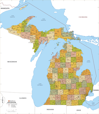
Michigan ZIP Code Map with Counties - Extra Large
MapSherpa
This map has been created exclusively for MapSherpa, and designed for business or reference use. Clear and clean colors & fonts matched with cartographic research makes this Michigan Zip Code Map with Counties easily readable and useful. The map shows the 83 counties of Michigan and the borders of the 979 zip codes across the Wolverine State.
Page Size: 60 x 69.25 in (1524 x 1753 mm)
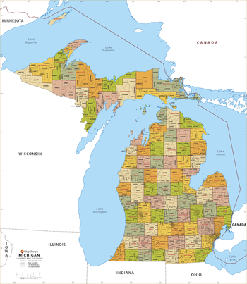
Michigan ZIP Code Map with Counties - Large
MapSherpa
This map has been created exclusively for MapSherpa, and designed for business or reference use. Clear and clean colors & fonts matched with cartographic research makes this Michigan Zip Code Map with Counties easily readable and useful. The map shows the 83 counties of Michigan and the borders of the 979 zip codes across the Wolverine State.
Page Size: 48 x 55.25 in (1219 x 1403 mm)
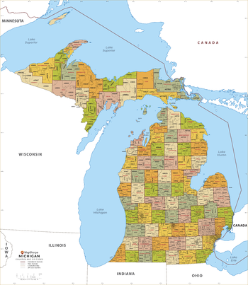
Michigan ZIP Code Map with Counties - Standard
MapSherpa
This map has been created exclusively for MapSherpa, and designed for business or reference use. Clear and clean colors & fonts matched with cartographic research makes this Michigan Zip Code Map with Counties easily readable and useful. The map shows the 83 counties of Michigan and the borders of the 979 zip codes across the Wolverine State.
Page Size: 36 x 41.5 in (914 x 1052 mm)

Middle Atlantic States Wall Map
Mapping Specialists
An attractive map of the Middle Atlantic States of United States showing roads, towns and points of interest.
Page Size: 60 x 42 in (1524 x 1067 mm)
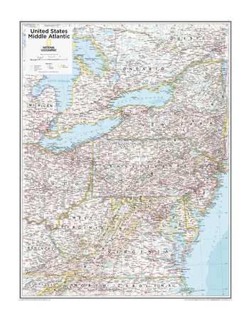
Middle Atlantic U.S. - Atlas of the World, 10th Edition
National Geographic
D.C., Delaware, Maryland, New Jersey, New York, Pennsylvania, Virginia, West Virginia
Page Size: 22 x 28 in (559 x 711 mm)
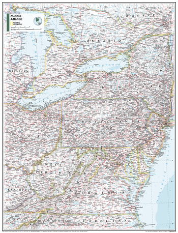
Middle Atlantic U.S. - Atlas of the World, 11th Edition
National Geographic
This Mid-Atlantic USA map of physical and political features can fit in any space. Showcasing the region in stunning detail with state-of-the-art cartographic techniques delivering accuracy and exceptional quality, the innovative and engaging design makes the content easily accessible and user-friendly.
Ideal for classrooms with an emphasis on teaching geography or environmental themes. The inclusion of physical features gives your students a genuine feel for how our world appears.
This map uses a bright, easy to read color palette featuring blue oceans and stunning shaded relief that has been featured on National Geographic wall maps for over 75 years. It is drawn in the Albers Conic Equal-Area projection, which uses two standard parallels between which distortion is minimized, however scale and shape are not preserved.
This map is found in National Geographic's 11th Edition World Atlas and is now available as a stand alone product.
Page Size: 24 x 31.5 in (610 x 798 mm)
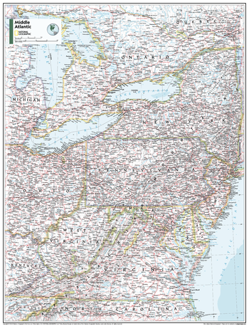
Middle Atlantic U.S. - Atlas of the World, 11th Edition - Compact
National Geographic
This Mid-Atlantic USA map of physical and political features can fit in any space. Showcasing the region in stunning detail with state-of-the-art cartographic techniques delivering accuracy and exceptional quality, the innovative and engaging design makes the content easily accessible and user-friendly.
Ideal for classrooms with an emphasis on teaching geography or environmental themes. The inclusion of physical features gives your students a genuine feel for how our world appears.
This map uses a bright, easy to read color palette featuring blue oceans and stunning shaded relief that has been featured on National Geographic wall maps for over 75 years. It is drawn in the Albers Conic Equal-Area projection, which uses two standard parallels between which distortion is minimized, however scale and shape are not preserved.
This map is found in National Geographic's 11th Edition World Atlas and is now available as a stand alone product.
Page Size: 16.25 x 21.5 in (413 x 540 mm)
Middle East - Published 1978
National Geographic
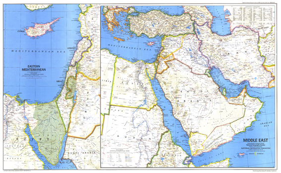
When this map of the Middle East was created, Israel had occupied the West Bank, Sinai Peninsula, and Golan Heights for over a decade. Six months later, after signing the Israel-Egypt Peace Treaty, Israel withdrew from the Sinai Peninsula and evacuated the settlements it had established there during the 1970s. Published in September 1978 as a companion to the historical map "Early Civilizations in the Middle East."
Page Size: 37 x 23 in (937 x 578 mm)
Middle East - Published 1991
National Geographic
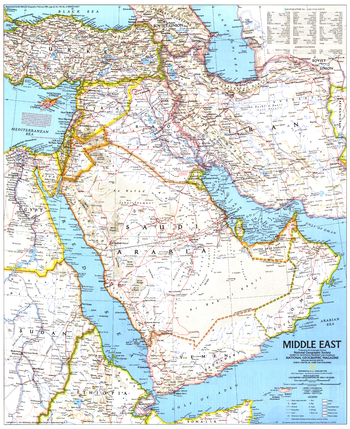
This detailed map of the Middle East shows a variety of geographical features, including ruins, oil field, and extensive transportation networks. Published in February 1991, during the Gulf War, as a companion to the map "The Middle East: States in Turmoil."
Page Size: 20.25 x 24.75 in (512 x 627 mm)
Middle East - Atlas of the World, 10th Edition
National Geographic
Syria, Turkey
Page Size: 28 x 22 in (711 x 559 mm)
Middle East - Atlas of the World, 11th Edition
National Geographic
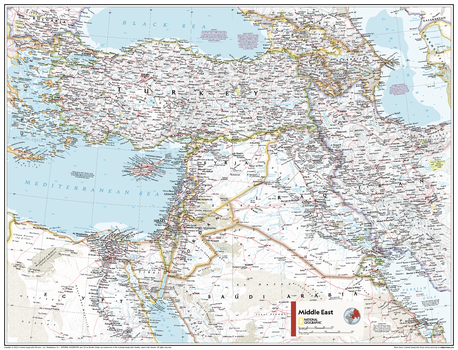
This Middle East map of physical and political features can fit in any space. Showcasing the region in stunning detail with state-of-the-art cartographic techniques delivering accuracy and exceptional quality, the innovative and engaging design makes the content easily accessible and user-friendly.
Ideal for classrooms with an emphasis on teaching geography or environmental themes. The inclusion of physical features gives your students a genuine feel for how our world appears.
This map uses a bright, easy to read color palette featuring blue oceans and stunning shaded relief that has been featured on National Geographic wall maps for over 75 years. It is drawn in Conic projection, in which an area of the earth is projected onto a cone whose vertex is usually above one of the poles, then unrolled onto a flat surface.
This map is found in National Geographic's 11th Edition World Atlas and is now available as a stand alone product.
Page Size: 31.5 x 24 in (798 x 610 mm)
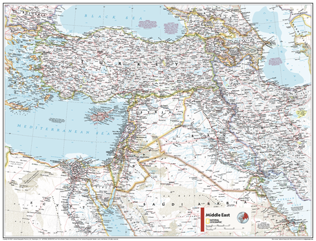
Middle East - Atlas of the World, 11th Edition - Compact
National Geographic
This Middle East map of physical and political features can fit in any space. Showcasing the region in stunning detail with state-of-the-art cartographic techniques delivering accuracy and exceptional quality, the innovative and engaging design makes the content easily accessible and user-friendly.
Ideal for classrooms with an emphasis on teaching geography or environmental themes. The inclusion of physical features gives your students a genuine feel for how our world appears.
This map uses a bright, easy to read color palette featuring blue oceans and stunning shaded relief that has been featured on National Geographic wall maps for over 75 years. It is drawn in Conic projection, in which an area of the earth is projected onto a cone whose vertex is usually above one of the poles, then unrolled onto a flat surface.
This map is found in National Geographic's 11th Edition World Atlas and is now available as a stand alone product.
Page Size: 21.5 x 16.25 in (540 x 413 mm)
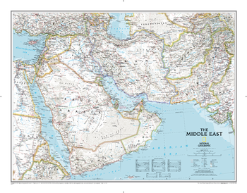
Middle East Classic
National Geographic
National Geographic's map of the Middle East covers a broad geographic area ranging from northern Africa through the Fertile Crescent to the western edge of China and India. Includes complete coverage of Afghanistan, Pakistan, Tajikistan, Iran, Iraq, Kuwait, Syria, Israel, Jordan, Lebanon, Saudi Arabia, Qatar, Bahrain, United Arab Emirates, Yemen, Oman, Cyprus, and Eritrea. Also includes parts of India, China, Kyrgyzstan, Uzbekistan, Turkmenistan, Azerbaijan, Armenia, Turkey, Egypt, Sudan, Ethiopia, and Djibouti.Features thousands of place names, accurate political boundaries, archeological sites, and major infrastructure networks such as roads, canals, ferry routes, airports, and railroads. The region's diverse terrain is detailed through accurate shaded relief, coastal bathymetry, and symbolism for water features and other land forms. Elevations of major peaks and depth soundings are expressed in meters. The signature Classic style map uses a bright, easy to read color palette featuring blue oceans and stunning shaded relief that has been featured on National Geographic wall maps for over 75 years.
Page Size: 30.5 x 23.75 in (770 x 600 mm)
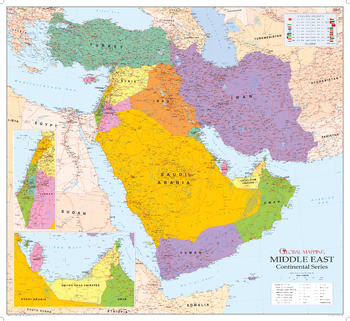
Middle East Wall Map
Global Mapping
Covering probably the most volatile region in the world, the map includes enlarged insets of the most populated areas. The ideal map for following events in the region.
Page Size: 42.5 x 39 in (1080 x 990 mm)
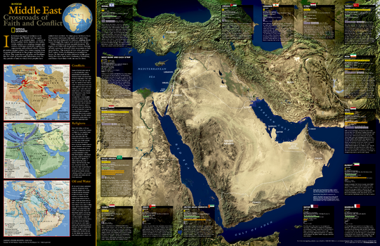
Middle East, Crossroads of Faith and Conflict - Published 2002
National Geographic
Its human struggles as torturous as its landscape, the Middle East has become, as in ancient times, a nexus of bitter conflict. This enlightening map contains information about each country as well as detail about the conflicts, religions, and resources which figure into the atmosphere of tension in the region. Published in October 2002 as half of a two-map set with "Heart of the Middle East."
Page Size: 31.25 x 20.25 in (791 x 511 mm)
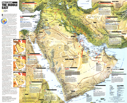
Middle East, States in Turmoil - Published 1991
National Geographic
This informative map of the Middle East highlights each country's military facilities, population, troops, oil reserves, gross national product, and more. An overview of the Gulf War is included. Published in February 1991 as a supplement to the map "The Middle East."
Page Size: 24.75 x 20.25 in (629 x 510 mm)
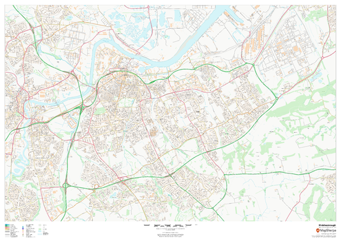
Middlesbrough
MapSherpa
This map of Middlesbrough shows detailed street level information including extensive street labelling. Ideal for planning of deliveries, home services, sales territories, real estate and much more.
Page Size: 47 x 33.25 in (1189 x 841 mm)
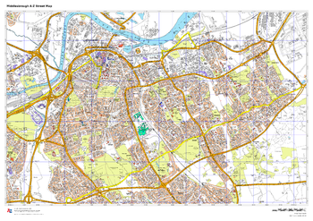
Middlesbrough A-Z Street Map
A-Z Maps
This up-to-date A-Z street map covers Middlesbrough, including the town centre together with the surrounding districts of Acklam, Berwick Hills, Linthorpe, Ormesby.
Page Size: 33.25 x 23.5 in (841 x 594 mm)
No search results